Langdale End

Settlement in Yorkshire Scarborough

England

Langdale End

Near Backleys Looking east at the bottom of the steep hill near Backleys.
Near Backleys Credit: T Eyre

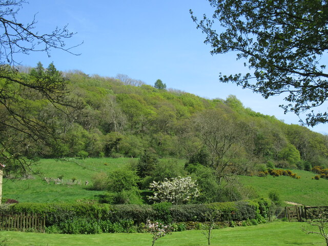
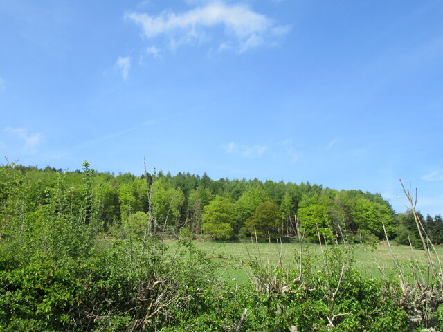
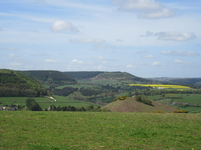
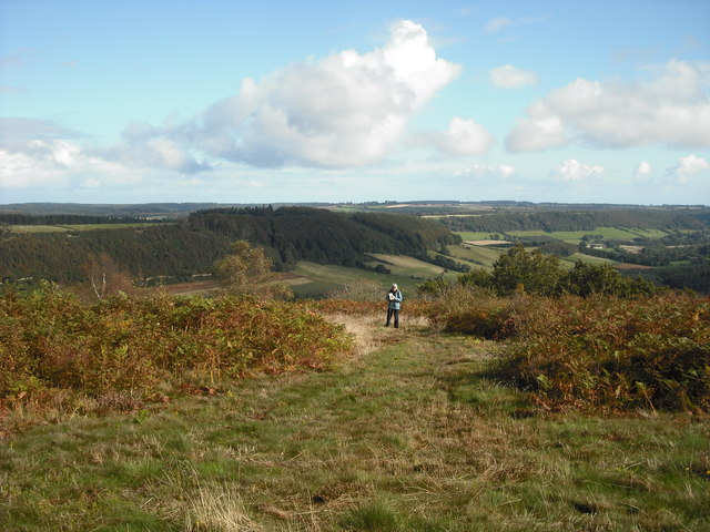
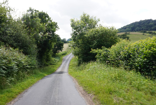
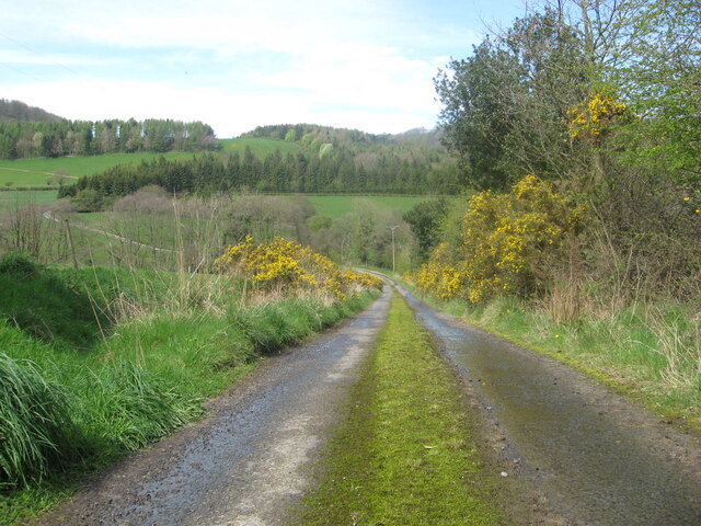
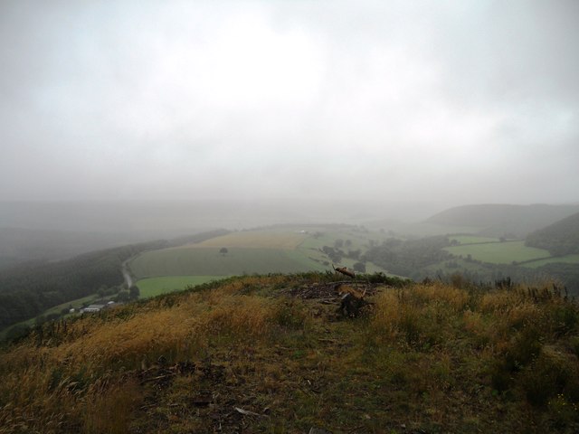
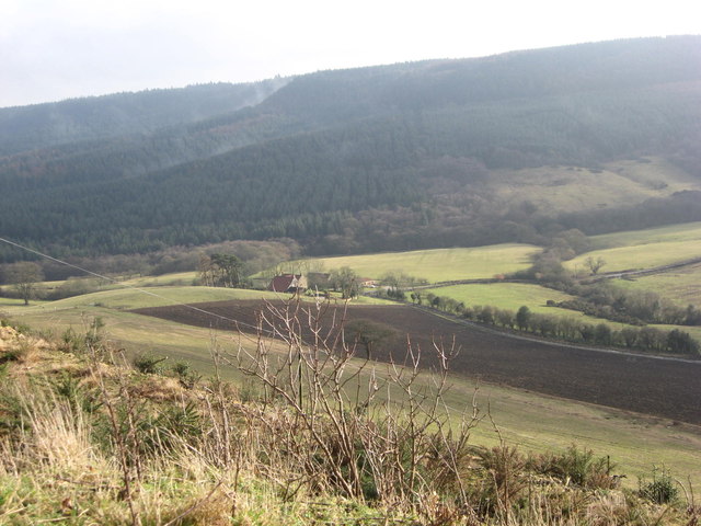
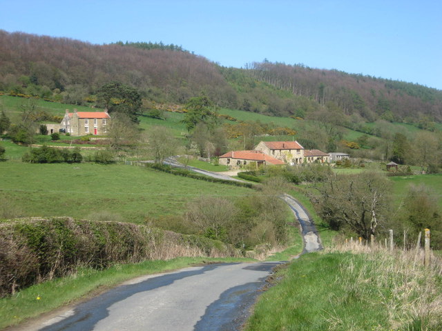
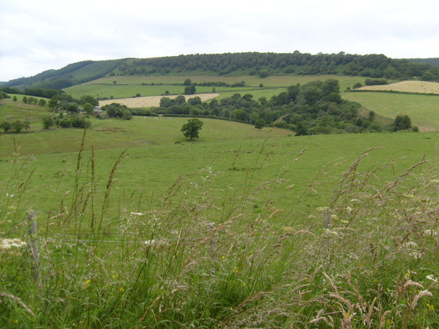
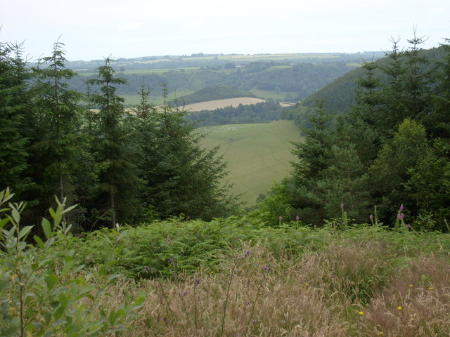
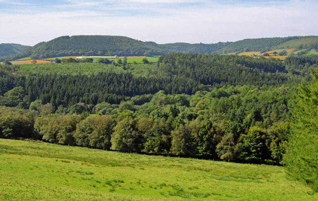
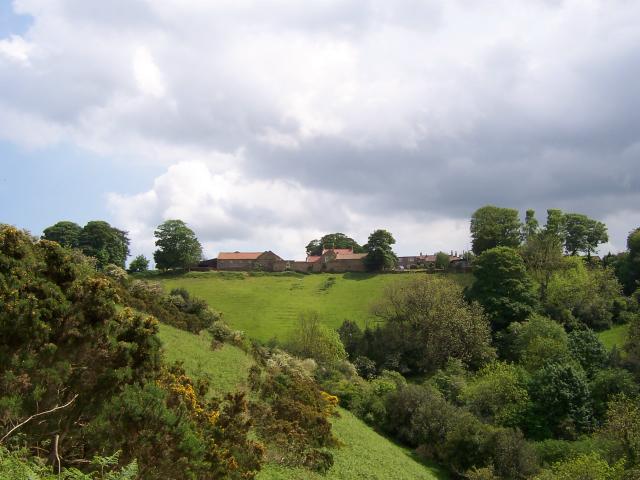
Langdale End is a charming village located in the county of Yorkshire, England. Situated in the Ryedale district, it is nestled within the beautiful North York Moors National Park. The village is surrounded by stunning countryside, offering breathtaking views and plenty of opportunities for outdoor activities.

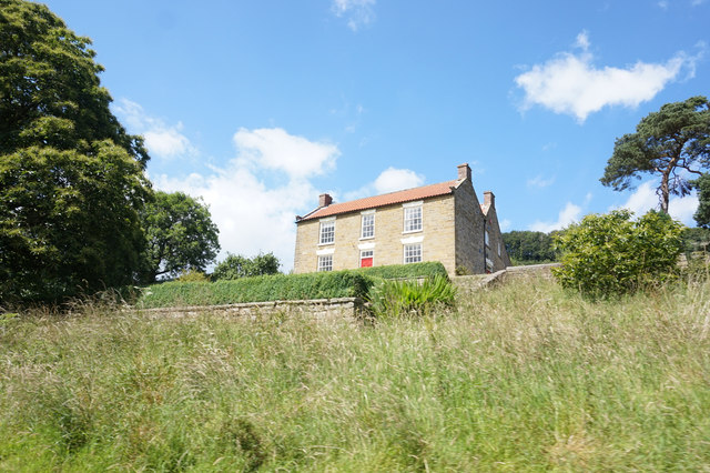
With a population of around 120 residents, Langdale End maintains a close-knit community atmosphere. It is primarily a residential area, with a mix of traditional stone cottages and more modern houses. The village is known for its peaceful and tranquil environment, making it a popular destination for those seeking a rural retreat.

Langdale End is well-connected to nearby towns and cities. The nearest town, Scarborough, is approximately 10 miles away, while the city of York is around 25 miles to the southwest. The village is easily accessible by road, with good transport links to the A170 and A64 highways.

Despite its small size, Langdale End offers a range of amenities for residents and visitors. There is a village hall that hosts various community events and activities throughout the year. The village also boasts a quaint pub, where locals and tourists can enjoy a pint of Yorkshire ale and traditional pub food.

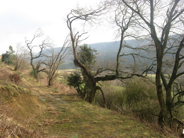
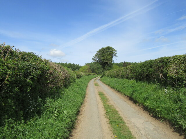
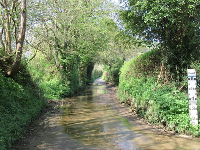
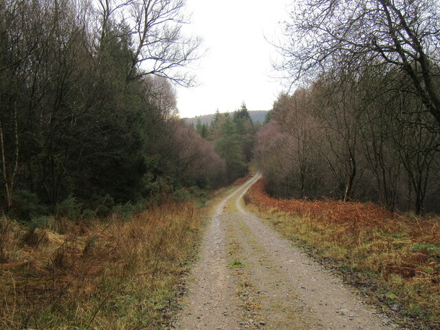
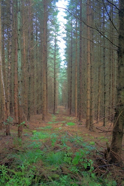
For nature enthusiasts, Langdale End is an ideal base for exploring the North York Moors. The village is surrounded by walking and cycling trails, providing opportunities to discover the area's diverse wildlife and picturesque landscapes.

In summary, Langdale End is a picturesque village in Yorkshire, offering a peaceful and idyllic setting within the stunning North York Moors National Park. With its close-knit community, beautiful countryside, and convenient location, it is a hidden gem for those seeking a rural escape.

If you have any feedback on the listing, please let us know in the comments section below.

Langdale End Images

Images are sourced within 2km of 54.30995/-0.56341526 or Grid Reference SE9391. Thanks to Geograph Open Source API. All images are credited.

Near Backleys Looking east at the bottom of the steep hill near Backleys.
Near Backleys
Looking east at the bottom of the steep hill near Backleys.
Broxa Moor Lane a narrow single track road that soon becomes a wider gravel track in Broxa Forest.
Broxa Moor Lane
a narrow single track road that soon becomes a wider gravel track in Broxa Forest.
Low Dales ford Not much water in the ford today because it is in one of the driest parts of the country.
Low Dales ford
Not much water in the ford today because it is in one of the driest parts of the country.
Low Dales Looking east from the dry northern end of the ford.
Low Dales
Looking east from the dry northern end of the ford.
Snainton Lane view Looking north.
Snainton Lane view
Looking north.
Broxa view Looking west from Broxa.
Broxa view
Looking west from Broxa.
Track near Birch Hall In Langdale Forest.
Track near Birch Hall
In Langdale Forest.
View from The Pinnacle A view from the feature shown in <a href="https://www.geograph.org.uk/photo/5148050">SE9289 : The Pinnacle</a>. the edge of the spur is about where the figure is, with the valley of Troutsdale running off into the background. The linear wood along the scarp slope is Backleys Wood
View from The Pinnacle
A view from the feature shown in SE9289 : The Pinnacle. the edge of the spur is about where the figure is, with the valley of Troutsdale running off into the background. The linear wood along the scarp slope is Backleys Wood
Troutsdale Low Hall From Estell Lane.
Troutsdale Low Hall
From Estell Lane.
Estell Lane towards Nettledale Lane
Mount Misery access road The access road to Mount Misery, in Troutsdale.
Mount Misery access road
The access road to Mount Misery, in Troutsdale.
View from Jerry Noddle Looking east from Jerry Noddle toward Bickley Rigg. Jerry Noddle has been recently cleared of forest making this view possible
View from Jerry Noddle
Looking east from Jerry Noddle toward Bickley Rigg. Jerry Noddle has been recently cleared of forest making this view possible
View from near Backleys The view down into Troutsdale from near Backleys.
View from near Backleys
The view down into Troutsdale from near Backleys.
Troutsdale Lane Troutsdale Lane near Troutsdale Low Hall.
Troutsdale Lane
Troutsdale Lane near Troutsdale Low Hall.
Near Darncombe View north-east near Darncombe, Langdale Rigg in the distance.
Near Darncombe
View north-east near Darncombe, Langdale Rigg in the distance.
View from Waitcliff End View east from Waitcliff End.
View from Waitcliff End
View east from Waitcliff End.
Forest Ride, above Troutsdale Low Hall
West Side Road Views The view across to Bickley Heights and Wait Cliff
West Side Road Views
The view across to Bickley Heights and Wait Cliff
Show me another place!

Langdale End is located at Grid Ref: SE9391 (Lat: 54.30995, Lng: -0.56341526)

Division: North Riding

Administrative County: North Yorkshire

District: Scarborough

Police Authority: North Yorkshire

What 3 Words

///totals.tabs.unlisted. Near Burniston, North Yorkshire

Related Wikis

Darncombe-cum-Langdale End

Darncombe-cum-Langdale End is a civil parish in the former Scarborough district of North Yorkshire, England. According to the 2001 UK census, Darncombe...

Broxa-cum-Troutsdale

Broxa-cum-Troutsdale is a civil parish in the Scarborough district of North Yorkshire, England. The population as of the 2011 census remained less than...

Broxa, North Yorkshire

Broxa is a village in the Scarborough district of North Yorkshire, England, within the North York Moors National Park. The village is 6.2 miles (10 km...

Silpho

Silpho is a village and civil parish in the Scarborough district of the county of North Yorkshire, England. According to the 2001 UK census, Silpho parish...

Related Videos

A day in Dalby Forest

Come and see what we got up to, at the Bridestones in Dalby Forest. #dayout, #dogwalk, #familyfun, #forestfun, #dalbyforest, ...

Broxa Forest, North York Moors - 14 November 2020

A 10.5 mile walk round the Broxa Forest starting from Reasty Bank Car Park. The route wanders throughout the forest and passes ...

Breath taking view of Dalby forest, North yorkshire | Paul Thomas| England, UK

In this video we show you the beauty of Dalby forest and explains about the activities than can be done over there. Music credits ...

Nearby Amenities

Located within 500m of 54.30995,-0.56341526
Post Box
Post Box Mounting: wooden_post
Post Box Type: lamp
Ref: YO13 79
Royal Cypher: EIIR
Royal Cypher Wikidata: Q33102113
Lat/Long: 54.3121421/-0.5671194
Pub
Moorcock Inn
Addr City: Scarborough
Addr Country: GB
Addr Postcode: YO13 0BN
Addr Street: West Side Road
Addr Village: Langdale End
Fhrs Id: 466664
Note: Not open prime time saturday night, which is not a good sign.
Wikidata: Q26441783
Lat/Long: 54.3084731/-0.5587621
Telephone
Booth: K6
Covered: booth
Listed Status: Grade II
Lat/Long: 54.3083336/-0.5576636
Langdale End
Place: village
Wikidata: Q5224103
Wikipedia: en:Darncombe-cum-Langdale End
Lat/Long: 54.3085308/-0.5580228
Howden Farm
Place: farm
Lat/Long: 54.3086978/-0.5571061
White Lodge
Place: farm
Lat/Long: 54.308914/-0.5612867
Dale View
Place: locality
Lat/Long: 54.3087883/-0.5681289
Manor House
Place: isolated_dwelling
Lat/Long: 54.3114088/-0.5659456
Place Of Worship
Wesleyan Methodist Chapel
Addr City: Langdale End
Addr Postcode: YO13 0BN
Addr Street: West Side Road
Denomination: methodist
Religion: christian
Lat/Long: 54.3084896/-0.5590671
Historic: memorial
Inscription: ERECTED IN MEMORY OF THOSE WHO FELL DURING THE GREAT WAR 1914-1918 (Names) 1939-1945 (Names) "GREATER LOVE HATH NO MAN THAN THIS, THAT A MAN LAY DOWN HIS LIFE FOR HIS FRIENDS."
Memorial: war_memorial
Lat/Long: 54.3085312/-0.5589984
The data included in this document is from www.openstreetmap.org. The data is made available under ODbL.

Have you been to Langdale End?

Leave your review of Langdale End below (or comments, questions and feedback).