Lane End

Settlement in Essex Tendring

England

Lane End

Towards Landermere Quay Looking towards <a href="https://www.geograph.org.uk/photo/7484429">TM1923 : Landermere Quay</a> past an <a href="https://www.geograph.org.uk/photo/7484426">TM1923 : Abandoned Boat on Hamford Water</a>
Towards Landermere Quay Credit: Glyn Baker

Lane End is a small village located in the county of Essex, England. Situated approximately 30 miles northeast of London, it falls within the district of Chelmsford. With a population of around 500 residents, Lane End boasts a tranquil and rural atmosphere, making it an idyllic destination for those seeking a peaceful lifestyle away from the bustling city.

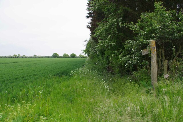
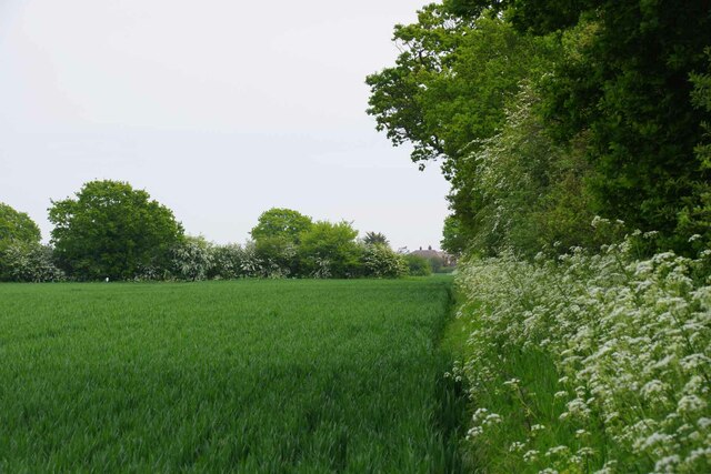
The village is renowned for its charming countryside views, characterized by rolling hills, picturesque meadows, and lush green fields. It is surrounded by several other small villages and hamlets, contributing to the overall sense of community in the area. The nearby River Chelmer adds to the scenic beauty of Lane End, offering opportunities for outdoor activities such as fishing, boating, and leisurely walks along its banks.

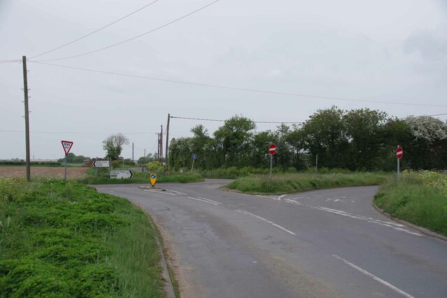
Although small in size, Lane End has a strong sense of community and boasts a range of amenities for its residents. These include a local primary school, a village hall, a post office, and a pub, which serves as a gathering spot for locals and visitors alike. Additionally, the village is well-connected to larger towns and cities in the region, with regular bus services and easy access to major road networks.

Lane End's location also provides easy access to a variety of attractions and amenities. Nearby attractions include the Essex Wildlife Trust’s Hanningfield Reservoir, which offers birdwatching and nature trails, as well as the quaint town of Chelmsford, which provides a wealth of shopping, dining, and entertainment options.

In summary, Lane End is a charming village in Essex, offering a peaceful and rural lifestyle while still providing convenient access to nearby amenities and attractions.

If you have any feedback on the listing, please let us know in the comments section below.
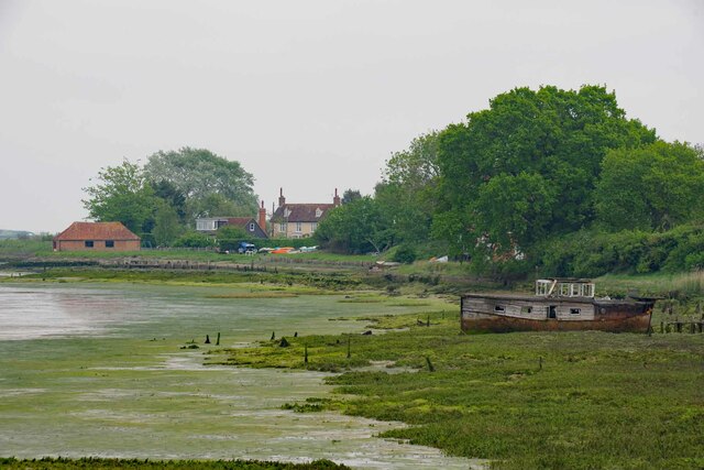
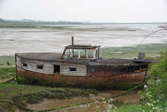
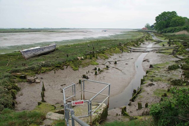
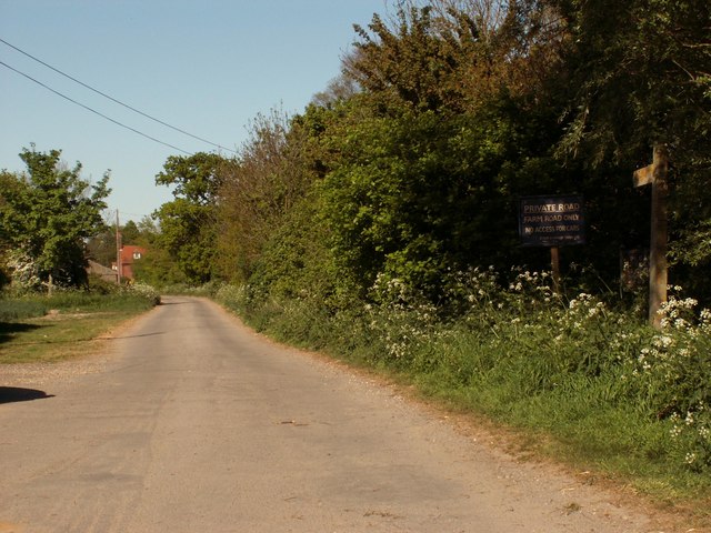
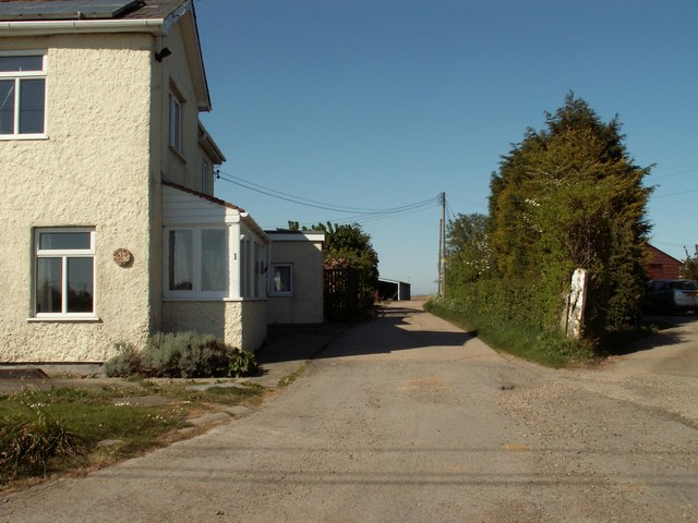
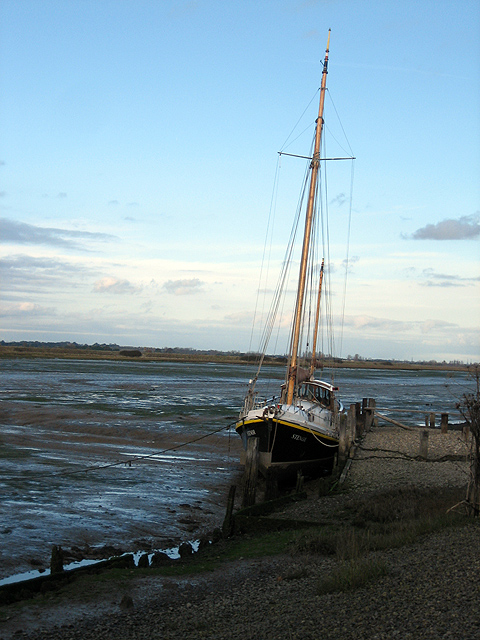
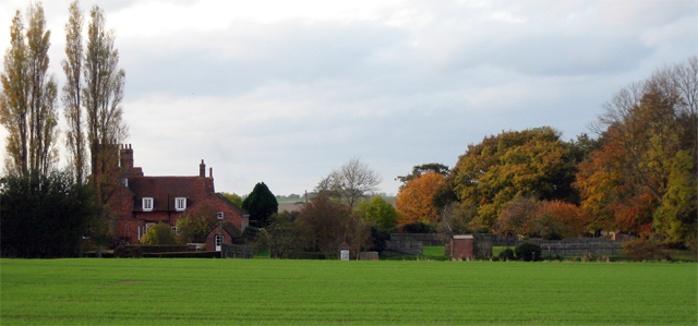
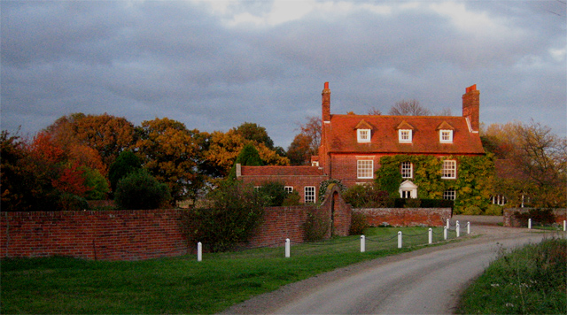
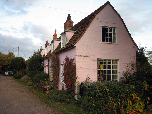
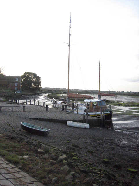
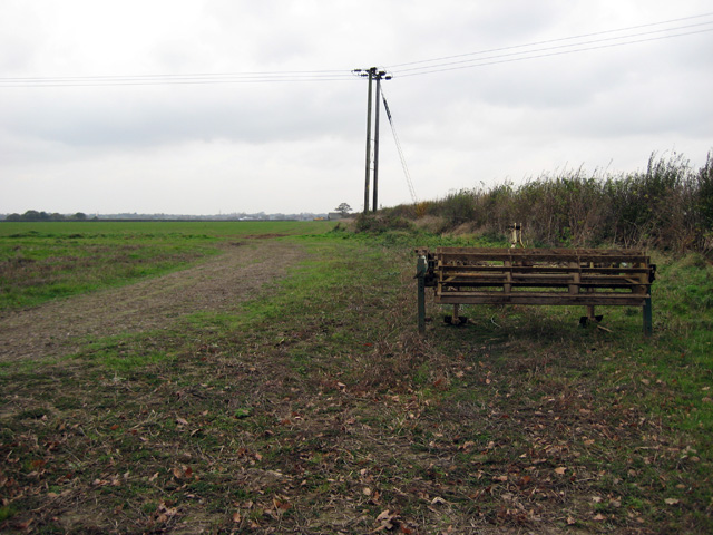
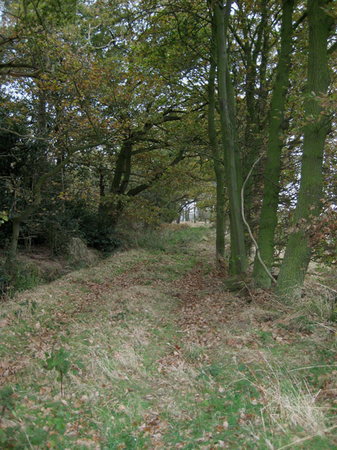
Lane End Images

Images are sourced within 2km of 51.856529/1.2079234 or Grid Reference TM2122. Thanks to Geograph Open Source API. All images are credited.

Towards Landermere Quay Looking towards <a href="https://www.geograph.org.uk/photo/7484429">TM1923 : Landermere Quay</a> past an <a href="https://www.geograph.org.uk/photo/7484426">TM1923 : Abandoned Boat on Hamford Water</a>
Towards Landermere Quay
Abandoned Boat on Hamford Water I am sure if camper van owners abandoned their unwanted vehicles at the roadside they would be prosecuted.
Abandoned Boat on Hamford Water
I am sure if camper van owners abandoned their unwanted vehicles at the roadside they would be prosecuted.
Landermere Quay A former quay in Hamford Waters.
Landermere Quay
A former quay in Hamford Waters.
Footpath 13 Thorpe le Soken Looking towards Damant's Farm Lane.
Footpath 13 Thorpe le Soken
Looking towards Damant's Farm Lane.
Footpath Near Folley Farm Further along <a href="https://www.geograph.org.uk/photo/7490133">TM1922 : Footpath 13 Thorpe le Soken</a>
Footpath Near Folley Farm
Building-site by the B1033 Tendering seems to be doing its very best to solve the housing crisis. New build homes are popping up like mushrooms.
Building-site by the B1033
Tendering seems to be doing its very best to solve the housing crisis. New build homes are popping up like mushrooms.
Thorpe Cross Junction Taken from the B1034 looking across the B1033 into  <a href="https://www.geograph.org.uk/photo/7490164">TM1921 : Thorpe Park Lane</a>
Thorpe Cross Junction
Taken from the B1034 looking across the B1033 into TM1921 : Thorpe Park Lane
Thorpe Park Lane Old farm machinery being used as a road block to prevent unauthorised access to a farms hard standing.
Thorpe Park Lane
Old farm machinery being used as a road block to prevent unauthorised access to a farms hard standing.
Footpath and road to Landermere Hall
Road to Kentshill Farm
Road junction at Thorpe Cross The photo was taken from Thorpe Park Lane. The road running left to right is the B1033 and the road beyond is the B1034.
Road junction at Thorpe Cross
The photo was taken from Thorpe Park Lane. The road running left to right is the B1033 and the road beyond is the B1034.
Yacht at a small quay on Landermere Creek "Stenoa" at rest - but she'll refloat on the next high tide.  The area of Hamford Water was fictionalised in Arthur Ransome's "Secret Water" <span class="nowrap"><a title="http://en.wikipedia.org/wiki/Secret_Water" rel="nofollow ugc noopener" href="http://en.wikipedia.org/wiki/Secret_Water">Link</a><img style="margin-left:2px;" alt="External link" title="External link - shift click to open in new window" src="https://s1.geograph.org.uk/img/external.png" width="10" height="10"/></span>
Yacht at a small quay on Landermere Creek
"Stenoa" at rest - but she'll refloat on the next high tide. The area of Hamford Water was fictionalised in Arthur Ransome's "Secret Water" LinkExternal link
Landermere Hall: view from east, autumn colours This fine hall stands at the bend of the road that leads to <a href="https://www.geograph.org.uk/photo/603695">TM1923 : Gull Cottages, at the end of the track</a> and the marshes along Landermere Creek.  The front view is visible in <a href="https://www.geograph.org.uk/photo/603664">TM1923 : Landermere Hall: view from south, sunset tinted</a>. In the foreground, a recently-drilled crop of winter wheat or barley is growing lushly.
Landermere Hall: view from east, autumn colours
This fine hall stands at the bend of the road that leads to TM1923 : Gull Cottages, at the end of the track and the marshes along Landermere Creek. The front view is visible in TM1923 : Landermere Hall: view from south, sunset tinted. In the foreground, a recently-drilled crop of winter wheat or barley is growing lushly.
Landermere Hall: view from south, sunset tinted This fine building (also visible in <a href="https://www.geograph.org.uk/photo/603652">TM1923 : Landermere Hall: view from east, autumn colours</a>) is a sudden touch of historic class in a relatively bleak landscape, here on the edge of the marshes.
Landermere Hall: view from south, sunset tinted
This fine building (also visible in TM1923 : Landermere Hall: view from east, autumn colours) is a sudden touch of historic class in a relatively bleak landscape, here on the edge of the marshes.
Gull Cottages, at the end of the track This line of uniform pink cottages in an isolated settlement sat snugly beside the track and behind a line of trees, all that separated them from the marshes and the north wind. Currently, the first in the row is to let, as advertised on the yellow notice.
Gull Cottages, at the end of the track
This line of uniform pink cottages in an isolated settlement sat snugly beside the track and behind a line of trees, all that separated them from the marshes and the north wind. Currently, the first in the row is to let, as advertised on the yellow notice.
Small quay near the end of the creek "Stenoa" is also in <a href="https://www.geograph.org.uk/photo/603497">TM1923 : Yacht at a small quay on Landermere Creek</a>.  This is the view looking inland up towards the end of Landermere Creek.
Small quay near the end of the creek
"Stenoa" is also in TM1923 : Yacht at a small quay on Landermere Creek. This is the view looking inland up towards the end of Landermere Creek.
Orchard no more Looking south from the edge of a small wood over a field that the Explorer map marks as orchard-land.  On this bleak mid-November day, it didn't give the impression of a friendly location for fruit-growing.
Orchard no more
Looking south from the edge of a small wood over a field that the Explorer map marks as orchard-land. On this bleak mid-November day, it didn't give the impression of a friendly location for fruit-growing.
Track beside Parklane Grove This track leads along the edge of the small wood and back towards Park Lane.  Consulting Explorer confirms that photographer position and subject are definitely within this square.
Track beside Parklane Grove
This track leads along the edge of the small wood and back towards Park Lane. Consulting Explorer confirms that photographer position and subject are definitely within this square.
Show me another place!

Lane End is located at Grid Ref: TM2122 (Lat: 51.856529, Lng: 1.2079234)

Administrative County: Essex

District: Tendring

Police Authority: Essex

What 3 Words

///clusters.frostbite.handsets. Near Thorpe le Soken, Essex

Nearby Locations

Lane End

Related Wikis

The Sokens

The Sokens is a name often used to describe the area containing the traditional parishes of Thorpe, Kirby and Walton, which now lie in Tendring district...
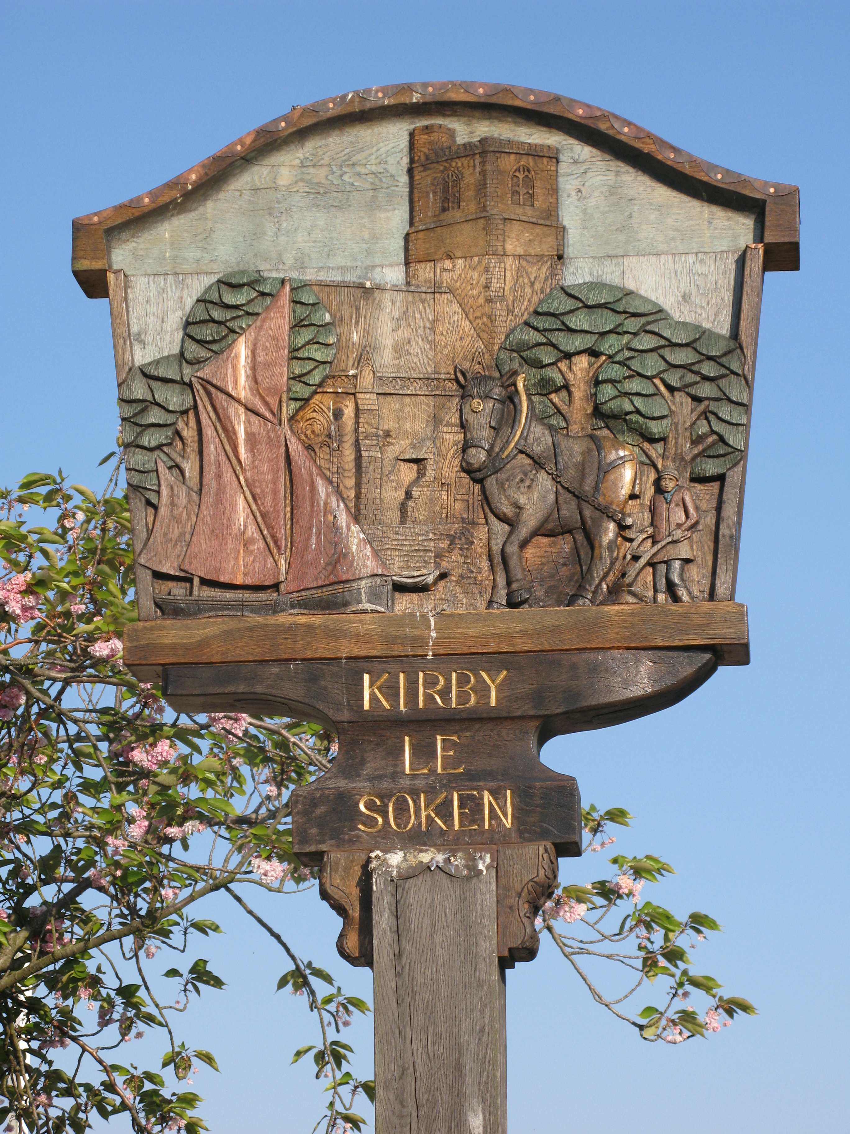
Kirby-le-Soken

Kirby-le-Soken is a village and former civil parish, now in the parish of Frinton and Walton, in the Tendring district of North East Essex, England, which...

Kirby Cross railway station

Kirby Cross railway station is on the Walton branch of the Sunshine Coast Line in the East of England, serving the village of Kirby Cross, Essex. It is...

Landermere Wharf

Landermere Wharf, sometimes called Landermere Quay, is a former dock area suitable for lying at anchor in the Tendring district of Essex, England.The wharf...

Nearby Amenities

Located within 500m of 51.856529,1.2079234
Post Box
Mapillary: 3126121927716874
Post Box Mounting: pier
Post Box Type: lamp
Ref: CO13 167
Survey Date: 2022-07-06
Lat/Long: 51.8562222/1.2073169
Power: pole
Source: bing
Lat/Long: 51.8523661/1.2071941
Power: pole
Source: bing
Lat/Long: 51.8544242/1.2016122
Power: pole
Source: bing
Lat/Long: 51.8538912/1.2031481
Power: pole
Source: bing
Lat/Long: 51.853134/1.2051104
Power: pole
Source: bing
Lat/Long: 51.8576495/1.2031977
Power: pole
Source: bing
Lat/Long: 51.854677/1.2031738
Power: pole
Source: bing
Lat/Long: 51.8573724/1.2030581
Power: pole
Source: bing
Lat/Long: 51.8566365/1.2050781
Power: pole
Source: bing
Lat/Long: 51.8548869/1.2031798
Power: pole
Source: bing
Lat/Long: 51.8565227/1.207217
Power: pole
Source: bing
Lat/Long: 51.8556203/1.2031477
Power: pole
Source: bing
Lat/Long: 51.8584101/1.2040768
Power: pole
Source: bing
Lat/Long: 51.8565324/1.203091
Power: pole
Source: bing
Lat/Long: 51.8565753/1.2061504
Power: pole
Source: bing
Lat/Long: 51.8566749/1.2041819
Power: pole
Lat/Long: 51.8537623/1.2032188
The data included in this document is from www.openstreetmap.org. The data is made available under ODbL.

Have you been to Lane End?

Leave your review of Lane End below (or comments, questions and feedback).