Higher Gamesley

Settlement in Derbyshire High Peak

England

Higher Gamesley

Whiteley Nab Whiteley Nab seen from Monks' Road.
Whiteley Nab Credit: Peter McDermott

Higher Gamesley is a small residential area located in the High Peak district of Derbyshire, England. It is situated approximately 15 miles east of Manchester and 30 miles west of Sheffield. The area is part of the larger Gamesley village, which also includes Lower Gamesley.

Higher Gamesley is primarily a residential neighborhood, consisting of mainly semi-detached and terraced houses. It is a relatively quiet and peaceful area, attracting families and professionals who prefer a more suburban lifestyle while still having easy access to nearby cities. The neighborhood is surrounded by picturesque countryside, offering beautiful views and opportunities for outdoor activities.

Although small in size, Higher Gamesley has a range of amenities to cater to its residents. There is a local primary school, Gamesley Community Primary School, which provides education for children aged 4 to 11. The area also has a convenience store, a post office, and a few local businesses, ensuring that residents have access to essential goods and services without needing to travel far.

Transportation options in Higher Gamesley are convenient, with regular bus services connecting the area to nearby towns and cities. The nearest train station is Glossop, which is approximately 2 miles away and provides direct links to Manchester and Sheffield. For those who prefer to drive, the area is easily accessible via major roadways, including the A57 and A624.

Overall, Higher Gamesley offers a peaceful and family-friendly environment, with a range of amenities and easy access to nearby cities, making it an attractive place to live for those seeking a suburban lifestyle in Derbyshire.

If you have any feedback on the listing, please let us know in the comments section below.

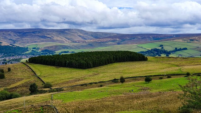
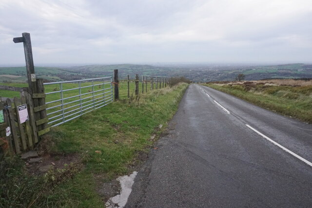
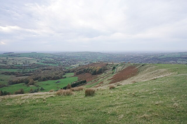
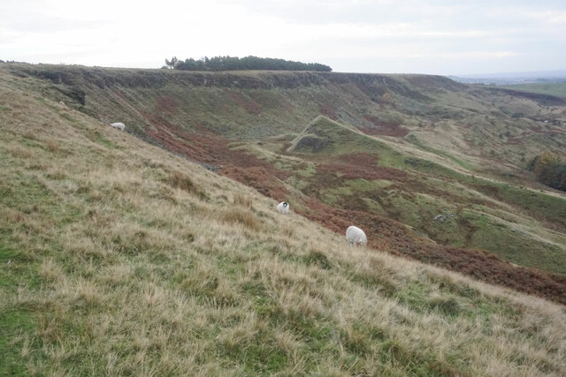
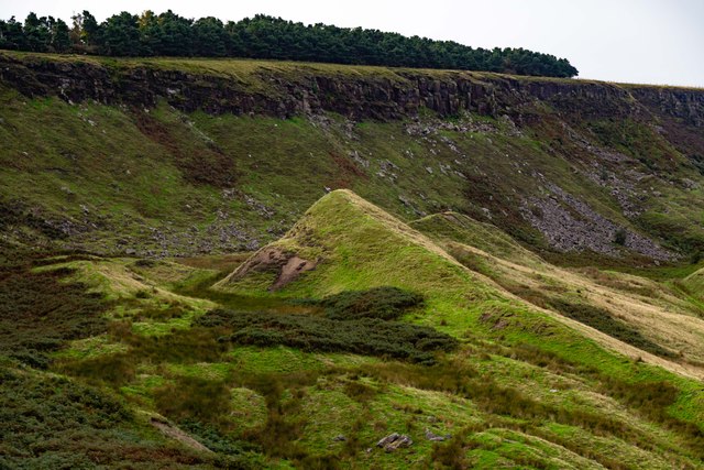
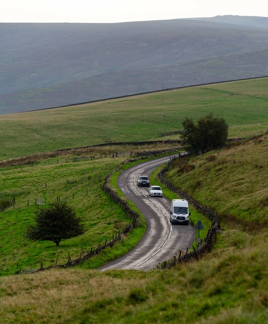
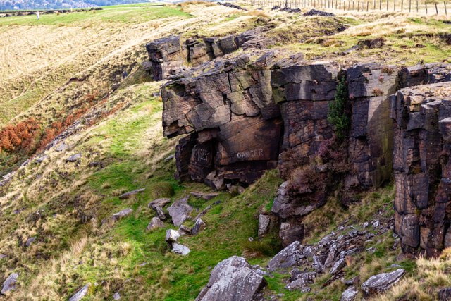
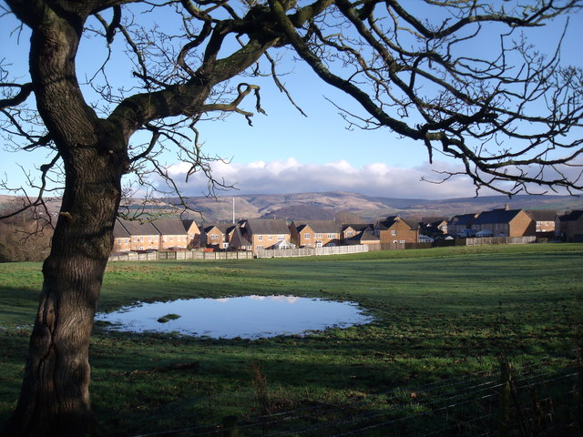
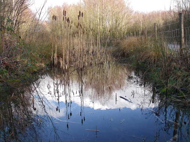
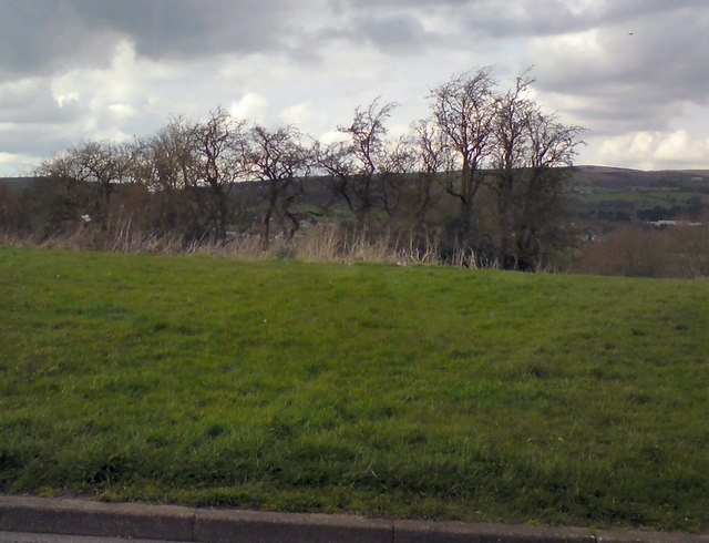
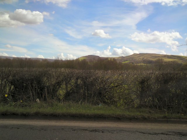
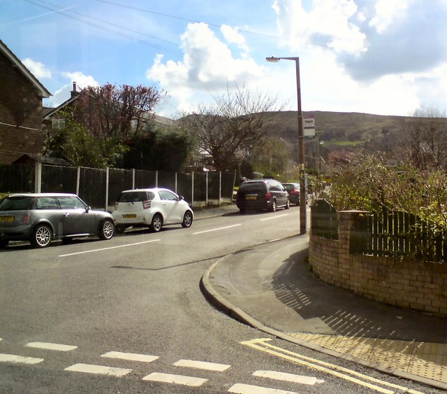
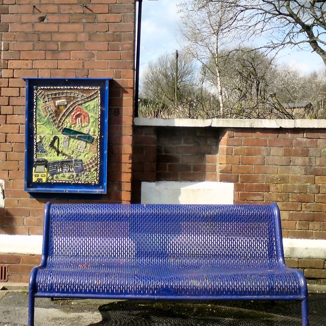
Higher Gamesley Images

Images are sourced within 2km of 53.440038/-1.9877374 or Grid Reference SK0093. Thanks to Geograph Open Source API. All images are credited.

Whiteley Nab Whiteley Nab seen from Monks' Road.
Whiteley Nab
Whiteley Nab seen from Monks' Road.
Monk's Road The road descends steeply to Charlesworth. In brighter weather, Manchester would be seen clearly on the plain.
Monk's Road
The road descends steeply to Charlesworth. In brighter weather, Manchester would be seen clearly on the plain.
Coombes Edge The land slopes down towards Charlesworth and Broadbottom. Manchester is also visible beyond Werneth Low though a bit grey on this day.
Coombes Edge
The land slopes down towards Charlesworth and Broadbottom. Manchester is also visible beyond Werneth Low though a bit grey on this day.
Coombes Edge The edge forms a big curve. It is thought to be created by a natural landslip, though people have certainly used the exposed rocks. A dull day, the day after the clocks changed to GMT.
Coombes Edge
The edge forms a big curve. It is thought to be created by a natural landslip, though people have certainly used the exposed rocks. A dull day, the day after the clocks changed to GMT.
Mares Back Mares Back beneath Coombes Edge.
Mares Back
Mares Back beneath Coombes Edge.
Monk's Road
Monk's Road
Coombes Rocks
Coombes Rocks
Graffiti in the old loco shed At Dinting Railway Museum, now closed.
Graffiti in the old loco shed
At Dinting Railway Museum, now closed.
Derelict railway station Dinting, Glossop
Derelict railway station
Dinting, Glossop
Heron, Etherow River Heron taking off from Etherow River
Heron, Etherow River
Heron taking off from Etherow River
Holiday park, Charlesworth
View South East from Hague End Pleasing view over the Etherow Valley towards the distant Dark Peak
View South East from Hague End
Pleasing view over the Etherow Valley towards the distant Dark Peak
Simmondley, Glossop Relatively new houses at Simmondley on the outskirts of Glossop. Recent heavy rain has made the field in the foreground somewhat wet.
Simmondley, Glossop
Relatively new houses at Simmondley on the outskirts of Glossop. Recent heavy rain has made the field in the foreground somewhat wet.
Gamesley Woodlands (wildlife pond) Gamesley Woodlands runs alongside the Manchester to Glossop rail line, it was originally railway sidings which formed part of the Mottram and Dinting Marshalling Yard. When the sidings closed pioneer tree species appeared, recently a bridleway has been laid and this pond constructed for the benefit of the public.
Gamesley Woodlands (wildlife pond)
Gamesley Woodlands runs alongside the Manchester to Glossop rail line, it was originally railway sidings which formed part of the Mottram and Dinting Marshalling Yard. When the sidings closed pioneer tree species appeared, recently a bridleway has been laid and this pond constructed for the benefit of the public.
Trees at Gamesley Off Melandra Castle Road.
Trees at Gamesley
Off Melandra Castle Road.
View towards Hargate Hill and Coombes Edge From Glossop Road, Gamesley.
View towards Hargate Hill and Coombes Edge
From Glossop Road, Gamesley.
Werneth Road, Simmondley Off Pennine Road.
Werneth Road, Simmondley
Off Pennine Road.
Mural and bench at Dinting Above the bench at Dinting Station is one of five murals created in 2014 by Glossop ceramicist Adrian Holt <span class="nowrap"><a title="http://www.adrianholt.com/" rel="nofollow ugc noopener" href="http://www.adrianholt.com/">Link</a><img style="margin-left:2px;" alt="External link" title="External link - shift click to open in new window" src="https://s1.geograph.org.uk/img/external.png" width="10" height="10"/></span> and members of Project Earth <span class="nowrap"><a title="http://www.highpeakarts.org/project-earth-2/" rel="nofollow ugc noopener" href="http://www.highpeakarts.org/project-earth-2/">Link</a><img style="margin-left:2px;" alt="External link" title="External link - shift click to open in new window" src="https://s1.geograph.org.uk/img/external.png" width="10" height="10"/></span> at High Peak Community Arts.
Mural and bench at Dinting
Above the bench at Dinting Station is one of five murals created in 2014 by Glossop ceramicist Adrian Holt LinkExternal link and members of Project Earth LinkExternal link at High Peak Community Arts.
Show me another place!

Higher Gamesley is located at Grid Ref: SK0093 (Lat: 53.440038, Lng: -1.9877374)

Administrative County: Derbyshire

District: High Peak

Police Authority: Derbyshire

What 3 Words

///glassware.snuck.thundered. Near Hollingworth, Manchester

Nearby Locations

Higher Gamesley

Related Wikis

Charlesworth, Derbyshire

Charlesworth is a village and civil parish near Glossop, Derbyshire, England. The population of the civil parish at the 2011 Census was 2,449. It is 2...

Gamesley

Gamesley is a residential area within the Borough of High Peak in Derbyshire, England, west of Glossop and close to the River Etherow which forms the...

Simmondley

Simmondley is a small village near the town of Glossop in Derbyshire, England. The population of the High Peak ward at the 2011 Census was 4,727. It has...

Dinting Vale

Dinting Vale is a village in Glossopdale, Derbyshire, England. The Vale falls within the Simmondley ward of the High Peak Council. Dinting Vale lies near...

Nearby Amenities

Located within 500m of 53.440038,-1.9877374
Barrier: stile
Steps: 1
Stile: stepover
Lat/Long: 53.4415534/-1.9807946
Barrier: stile
Lat/Long: 53.4412657/-1.9877682
Bus Stop
Gamesley, Glossop Road / opposite Hargate Hill
Bus: yes
Ele: 172.0000000
Naptan AtcoCode: 100000012246
Naptan NaptanCode: dbsgdmgm
Network: Derbyshire County Council
Operator: Derbyshire County Council
Public Transport: platform
Lat/Long: 53.4392661/-1.9883856
Bench
Backrest: yes
Ele: 174.0000000
Lat/Long: 53.4382376/-1.9887213
Crossing: informal
Lat/Long: 53.4361059/-1.9893047
Ele: 170
Lat/Long: 53.4406038/-1.9873319
Ele: 168.0000000
Lat/Long: 53.4405192/-1.987466
Gate
Ele: 174.0000000
Lat/Long: 53.4390838/-1.9863056
Passing Place
Lat/Long: 53.4369142/-1.9844537
Barrier: stile
Steps: 1
Stile: stepover
Lat/Long: 53.4430359/-1.990434
Bench
Lat/Long: 53.4424358/-1.990898
Bench
Lat/Long: 53.4428495/-1.9859923
Bench
Lat/Long: 53.4430526/-1.9828164
Generator Method: photovoltaic
Generator Output Electricity: yes
Generator Source: solar
Generator Type: solar_photovoltaic_panel
Location: roof
Power: generator
Lat/Long: 53.4443787/-1.9893763
Generator Method: photovoltaic
Generator Output Electricity: yes
Generator Source: solar
Generator Type: solar_photovoltaic_panel
Location: roof
Power: generator
Lat/Long: 53.4444186/-1.989387
Generator Method: photovoltaic
Generator Output Electricity: yes
Generator Source: solar
Generator Type: solar_photovoltaic_panel
Location: roof
Power: generator
Lat/Long: 53.4441977/-1.9858452
Generator Method: photovoltaic
Generator Output Electricity: yes
Generator Source: solar
Generator Type: solar_photovoltaic_panel
Location: roof
Power: generator
Lat/Long: 53.4439357/-1.9864245
Material: wood
Power: pole
Lat/Long: 53.437229/-1.9856878
Material: wood
Power: pole
Lat/Long: 53.4368636/-1.9844211
Power: pole
Lat/Long: 53.4386315/-1.9941542
Power: pole
Lat/Long: 53.438356/-1.9931373
Power: pole
Lat/Long: 53.4380234/-1.9918598
Power: pole
Lat/Long: 53.4375414/-1.9922871
Power: pole
Lat/Long: 53.4372479/-1.9915549
Power: pole
Lat/Long: 53.437081/-1.9905058
Material: wood
Power: pole
Lat/Long: 53.4368853/-1.989165
Power: pole
Lat/Long: 53.4381719/-1.9924619
Power: pole
Lat/Long: 53.4368925/-1.9929259
Power: pole
Lat/Long: 53.4382965/-1.9916258
Power: pole
Lat/Long: 53.4387128/-1.9911937
Power: pole
Lat/Long: 53.439298/-1.9906457
Power: pole
Lat/Long: 53.4399534/-1.9900335
Power: pole
Lat/Long: 53.4407155/-1.9892678
Power: pole
Lat/Long: 53.4412083/-1.988787
Power: pole
Lat/Long: 53.441543/-1.9884903
Bus Stop
Charlesworth, Glossop Road / adjacent Springmeadow
Bus: yes
Network: Derbyshire County Council
Operator: Derbyshire County Council
Public Transport: platform
Lat/Long: 53.4359403/-1.9895549
Bus Stop
Gamesley, Glossop Road / opposite St Margarets School
Bench: no
Bin: no
Bus: yes
Lit: no
Naptan AtcoCode: 1000DGGR3480
Naptan NaptanCode: dbsgtgpm
Network: Derbyshire County Council
Operator: Derbyshire County Council
Public Transport: platform
Shelter: no
Tactile Paving: no
Lat/Long: 53.4417053/-1.9879303
Bus Stop
Gamesley, Glossop Road / opposite Railway Bridge
Bus: yes
Naptan AtcoCode: 1000DGGR3478
Naptan NaptanCode: dbsgtgpg
Network: Derbyshire County Council
Operator: Derbyshire County Council
Public Transport: platform
Lat/Long: 53.4435408/-1.9873262
Bus Stop
Gamesley, Glossop Road / adjacent Railway Bridge
Bus: yes
Naptan AtcoCode: 1000DGGR3477
Naptan NaptanCode: dbsgtgpd
Network: Derbyshire County Council
Operator: Derbyshire County Council
Public Transport: platform
Lat/Long: 53.4433256/-1.9875486
Bus Stop
Gamesley, Glossop Road / adjacent St Margarets School
Bench: no
Bin: yes
Bus: yes
Lit: no
Network: Derbyshire County Council
Operator: Derbyshire County Council
Public Transport: platform
Shelter: no
Tactile Paving: no
Lat/Long: 53.4417895/-1.9877685
Bus Stop
Gamesley, Glossop Road / adjacent Hargate Hill
Bench: no
Bin: no
Bus: yes
Lit: no
Naptan AtcoCode: 1000DGGR3804
Naptan NaptanCode: dbsgtgpt
Public Transport: platform
Shelter: no
Tactile Paving: no
Lat/Long: 53.4388729/-1.9883584
Mottram Junction
Historic Railway: junction
Railway: site
Lat/Long: 53.4432723/-1.9840405
The data included in this document is from www.openstreetmap.org. The data is made available under ODbL.

Have you been to Higher Gamesley?

Leave your review of Higher Gamesley below (or comments, questions and feedback).