Higher Foddington
Settlement in Somerset South Somerset
England
Higher Foddington
Higher Foddington is a small village located in the county of Somerset, in southwestern England. It lies approximately 10 miles southwest of the town of Taunton and is situated within the district of West Somerset. With a population of around 100 residents, it is a tight-knit community that offers a peaceful and rural setting.
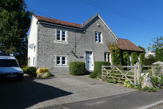
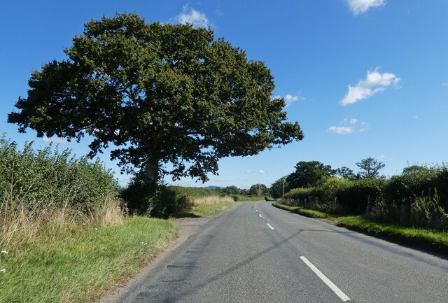
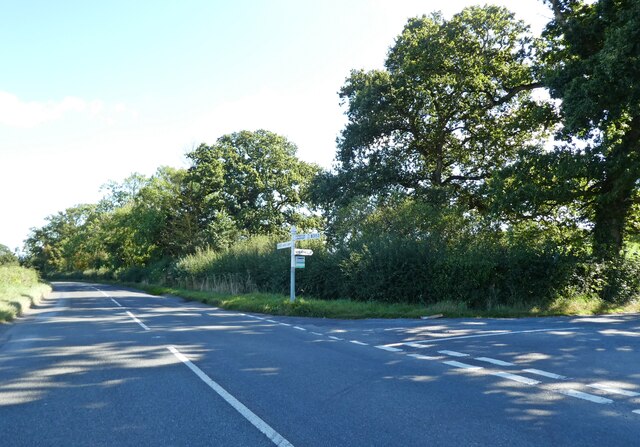
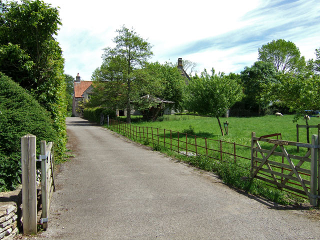
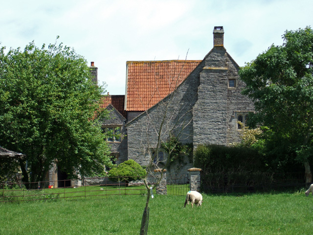
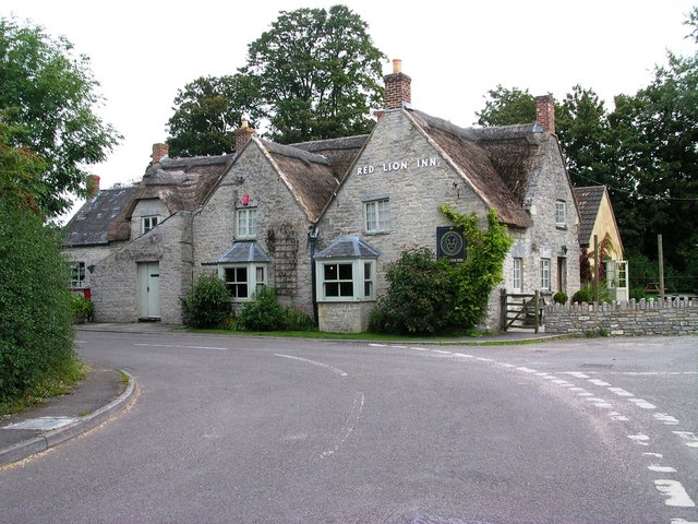
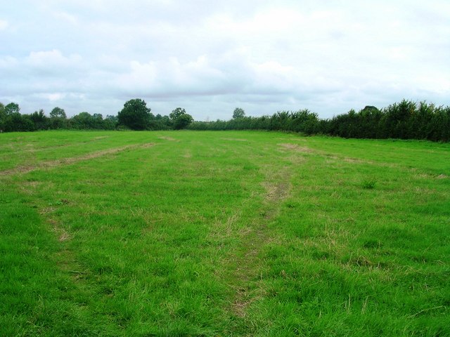
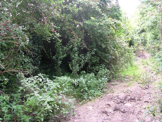
The village is characterized by its picturesque countryside, with rolling hills and lush green fields surrounding it. It is primarily an agricultural area, with farming and livestock playing a significant role in the local economy. The landscape is dotted with traditional stone cottages and farmhouses, giving it a charming and timeless feel.
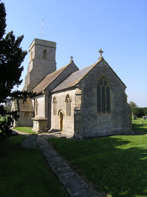
Although small, Higher Foddington has a strong sense of community. The villagers often come together for various events and activities, such as fairs, community dinners, and sporting events. The local church, St. Mary's, serves as a focal point for religious ceremonies and community gatherings.
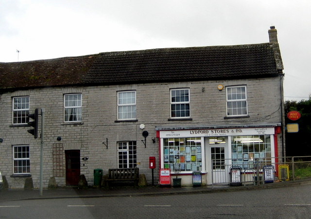
In terms of amenities, Higher Foddington is limited. There are no shops or schools within the village itself, and residents typically rely on nearby towns for their daily needs. However, the village benefits from its proximity to Taunton, which offers a wide range of services and facilities, including schools, shops, and healthcare facilities.
For those seeking a tranquil countryside lifestyle, Higher Foddington provides an idyllic setting. Its natural beauty, close-knit community, and proximity to larger towns make it an attractive place to live for those looking for a peaceful retreat in the heart of Somerset.
If you have any feedback on the listing, please let us know in the comments section below.
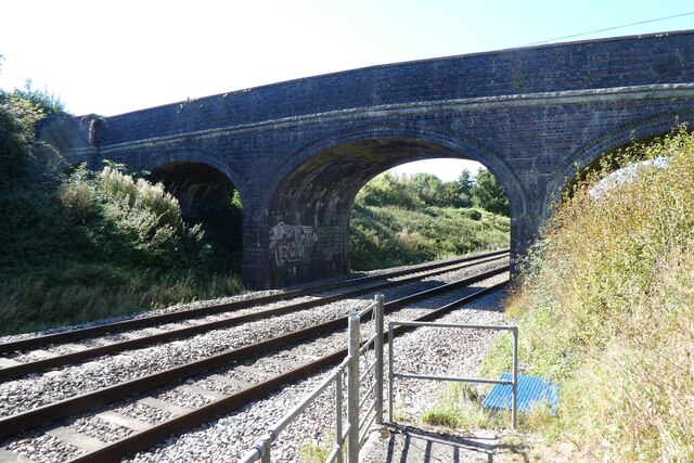
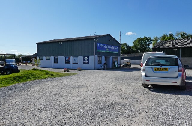
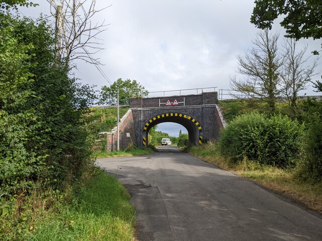
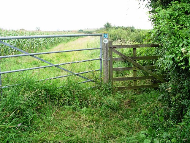
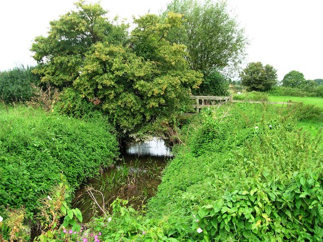
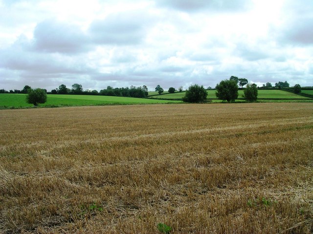
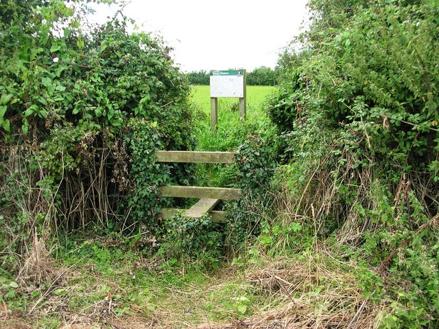
Higher Foddington Images
Images are sourced within 2km of 51.061265/-2.5993449 or Grid Reference ST5829. Thanks to Geograph Open Source API. All images are credited.


Higher Foddington is located at Grid Ref: ST5829 (Lat: 51.061265, Lng: -2.5993449)
Administrative County: Somerset
District: South Somerset
Police Authority: Avon and Somerset
What 3 Words
///scrambles.reframe.games. Near Castle Cary, Somerset
Nearby Locations
Related Wikis

Babcary Meadows
Babcary Meadows (grid reference ST567293) is a 13.6 hectares (34 acres) biological Site of Special Scientific Interest north of Babcary in Somerset, notified...

Babcary
Babcary is a village and civil parish in Somerset, England, about 5 miles (8.0 km) east of Somerton and 6 miles (9.7 km) southwest of Castle Cary. The...
Lovington, Somerset
Lovington is a village and civil parish in Somerset, England, situated 3 miles (4.8 km) south west of Castle Cary, between the River Brue and River Cary...

Church of the Holy Cross, Babcary
The Anglican Church of the Holy Cross in Babcary, Somerset, England, was built in the 14th century. It is a Grade II* listed building. == History == The...
Lydford-on-Fosse
Lydford-on-Fosse is a village and civil parish in the Mendip district of Somerset, England. The parish includes the village of West Lydford and hamlet...

Church of the Blessed Virgin Mary, East Lydford
The Church of the Blessed Virgin Mary is a former Church of England church in East Lydford, Somerset, England. Designed by Benjamin Ferrey, it was built...
Church of St Thomas of Canterbury, Lovington
The Church of St Thomas of Canterbury in Lovington, Somerset, England, was built in the 13th century. It is a Grade II* listed building. == History... ==

North Barrow
North Barrow is a village and civil parish 8 miles (13 km) to the north-east of Ilchester in the South Somerset district of Somerset, England. == History... ==
Nearby Amenities
Located within 500m of 51.061265,-2.5993449Have you been to Higher Foddington?
Leave your review of Higher Foddington below (or comments, questions and feedback).