Heggerscales
Settlement in Westmorland Eden
England
Heggerscales
Heggerscales is a small village located in the picturesque region of Westmorland, England. Situated amidst the stunning Lake District National Park, it offers an idyllic setting for those seeking a peaceful and serene escape.
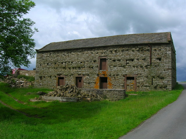
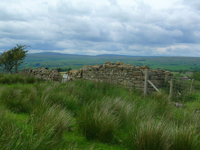
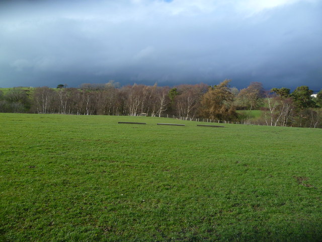
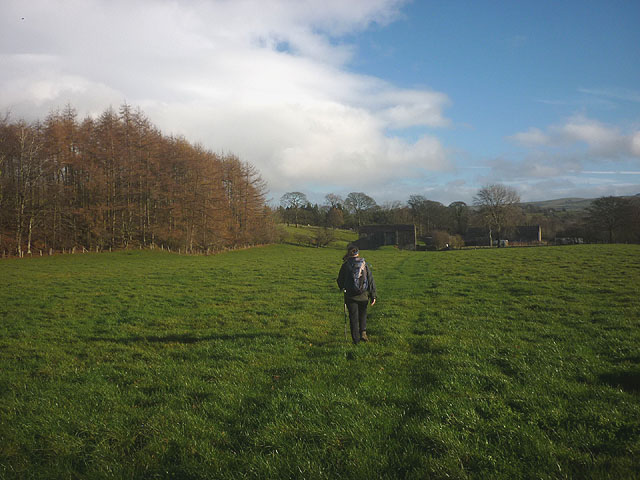
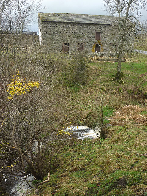
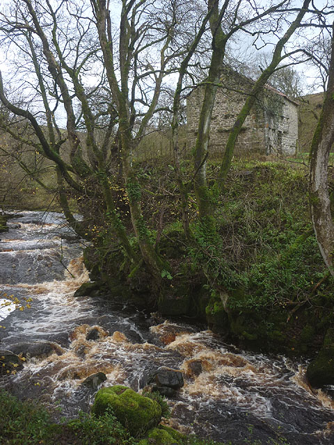
With a population of around 200 residents, Heggerscales is known for its close-knit community and friendly atmosphere. The village is characterized by its quaint stone cottages, surrounded by lush greenery and rolling hills. The landscape is dotted with vibrant wildflowers during the summer months, creating a colorful tapestry that enchants both locals and visitors alike.
Although Heggerscales is primarily a residential area, it offers a few amenities for the convenience of its residents. The village boasts a charming local pub, where visitors can enjoy traditional English fare and sample a selection of local beers. Additionally, there is a small village shop that caters to everyday needs and serves as a gathering place for neighbors to catch up on the latest news.
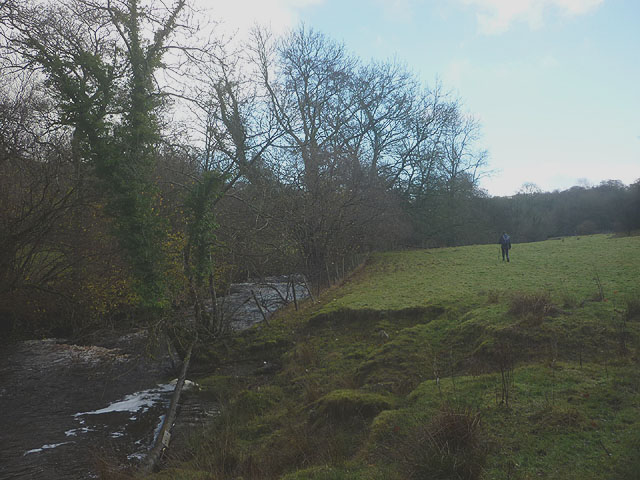
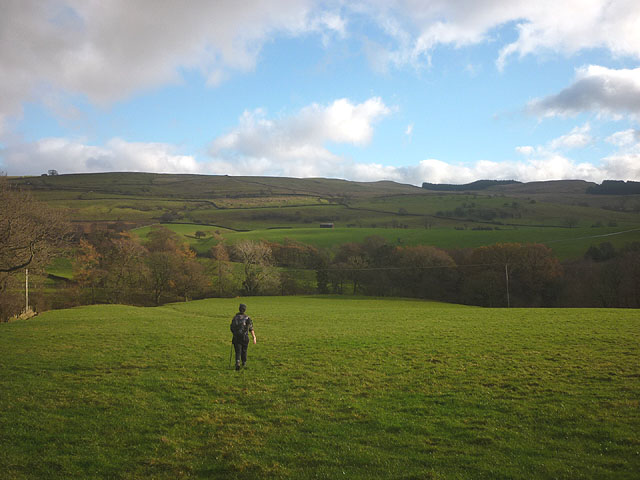
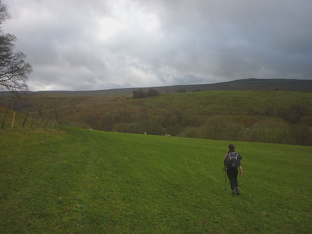
Nature enthusiasts will find plenty to explore in the surrounding area. Heggerscales is within close proximity to several walking trails and hiking routes that showcase the breathtaking beauty of the Lake District. From the challenging peaks of Helvellyn to the tranquil shores of Windermere, outdoor adventures abound for all levels of fitness and experience.
In summary, Heggerscales is a delightful village tucked away in the stunning Westmorland region. Its natural beauty, friendly community, and access to the Lake District make it an appealing destination for those seeking a peaceful retreat in the heart of rural England.
If you have any feedback on the listing, please let us know in the comments section below.
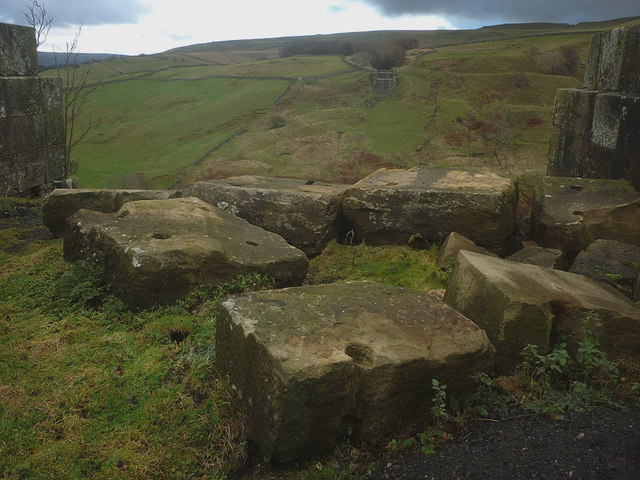
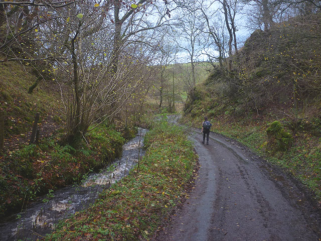
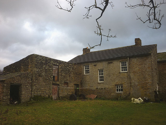
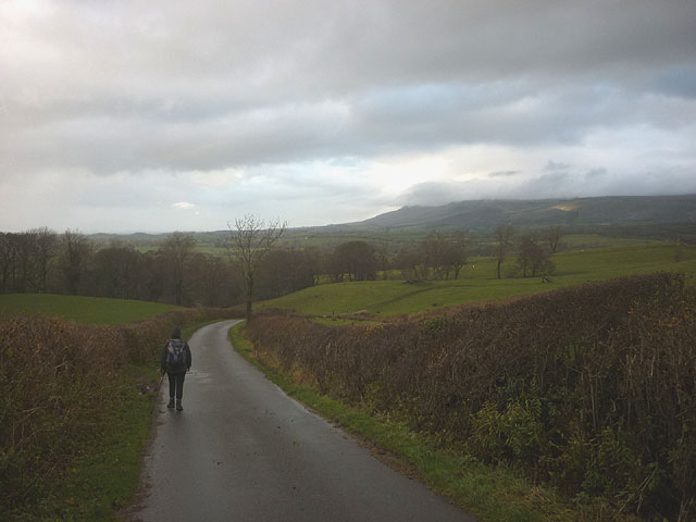
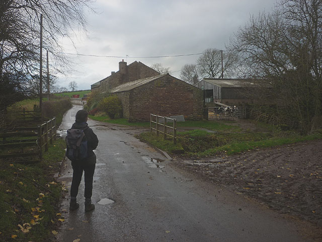
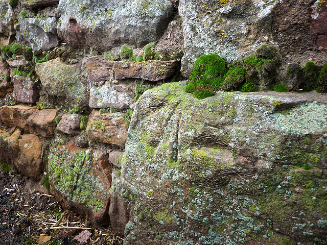
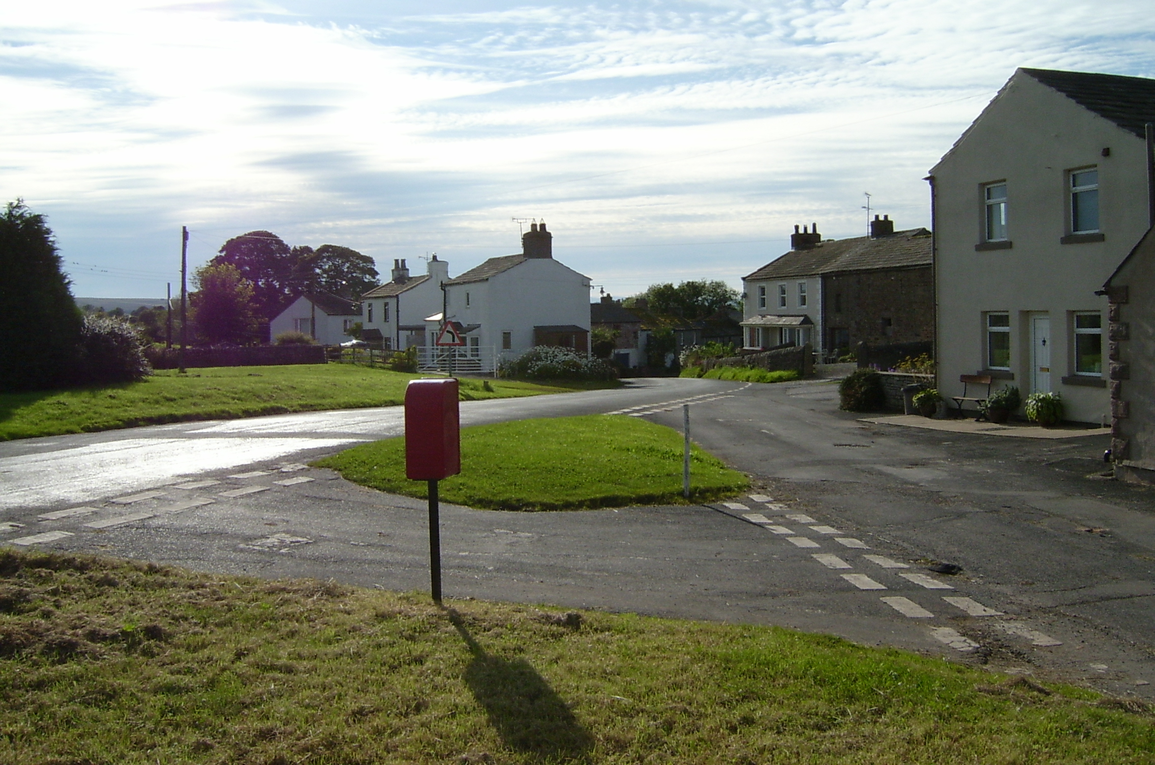
Heggerscales Images
Images are sourced within 2km of 54.489594/-2.2763337 or Grid Reference NY8210. Thanks to Geograph Open Source API. All images are credited.
Heggerscales is located at Grid Ref: NY8210 (Lat: 54.489594, Lng: -2.2763337)
Administrative County: Cumbria
District: Eden
Police Authority: Cumbria
What 3 Words
///physical.upstarts.energy. Near Kirkby Stephen, Cumbria
Nearby Locations
Related Wikis

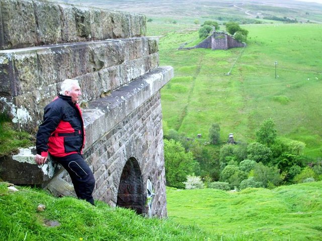
Belah Viaduct
The Belah Viaduct was a railway viaduct on the South Durham and Lancashire Union Railway, crossing the River Belah, in Cumbria, England, about 1 mile...

Barras, Cumbria
Barras is a hamlet close to the River Belah, about 4 miles (6 kilometres) south-east of Brough, Cumbria, England. Until the creation of the new county...

Barras railway station
Barras railway station was situated on the South Durham & Lancashire Union Railway between Barnard Castle and Kirkby Stephen East. == History == The station...
Kaber, Cumbria
Kaber is a village and civil parish in the Eden District of Cumbria, England. == Location and topography == The village is located about 2 miles (3.2 km...

Brough Sowerby
Brough Sowerby is a village and civil parish in the Eden district of Cumbria, England. It is located 22.3 miles south east of the town Penrith. According...

Winton, Cumbria
Winton is a village and civil parish in the Eden District of Cumbria, England. It is 2.9 miles (4.7 km) south of Brough, and 1.6 miles (2.6 km) north of...
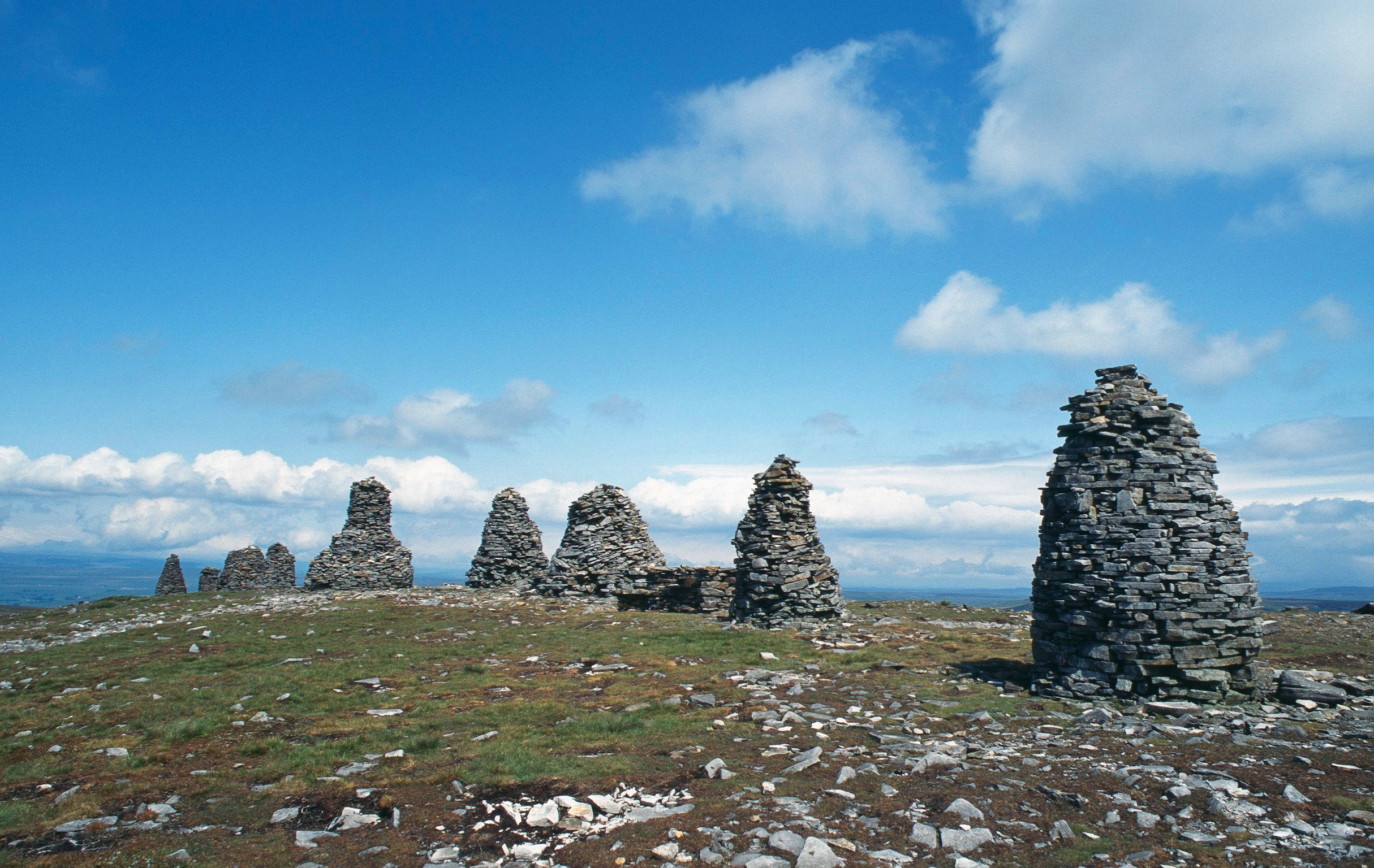
Nine Standards Rigg
Nine Standards Rigg is the summit of Hartley Fell in the Pennine Hills of England. It lies near the boundary between Cumbria and North Yorkshire, a few...

Hartley, Cumbria
Hartley is a village and civil parish in the Eden district of Cumbria, England. It is about 0.5 miles (0.8 km) east of Kirkby Stephen. The area has many...
Nearby Amenities
Located within 500m of 54.489594,-2.2763337Have you been to Heggerscales?
Leave your review of Heggerscales below (or comments, questions and feedback).