Hareholme
Settlement in Lancashire Rossendale
England
Hareholme
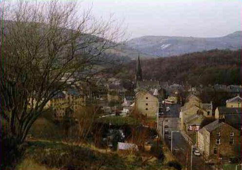
Hareholme is a small village located in the borough of Rossendale, within the county of Lancashire, England. Situated approximately 20 miles north of Manchester, Hareholme is nestled in the scenic countryside of the Rossendale Valley.
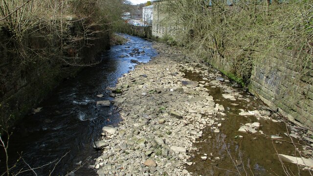
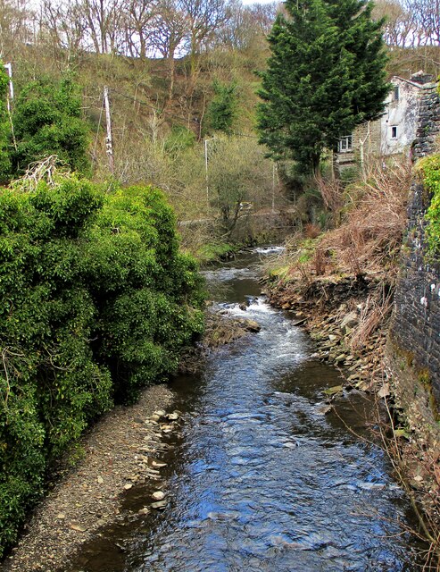
The village is known for its picturesque landscapes, with rolling hills and lush greenery surrounding the area. It is a popular destination for nature enthusiasts, offering numerous walking trails and outdoor activities such as hiking and cycling. The nearby River Irwell adds to the charm of Hareholme, providing opportunities for fishing and boating.
Hareholme has a rich history, dating back to the medieval period. The village was primarily an agricultural community, with farming playing a significant role in the local economy. Today, remnants of the village's past can still be seen in the form of historic buildings and landmarks, including the Hareholme Mill, a 19th-century cotton mill that has been converted into residential apartments.
Despite its small size, Hareholme offers amenities to its residents and visitors. The village has a primary school, a post office, and a few local shops and pubs. Additionally, nearby towns such as Rawtenstall and Bacup provide access to a wider range of services, including supermarkets, restaurants, and leisure facilities.
Hareholme's tranquil atmosphere and close-knit community make it an appealing place to live for those seeking a peaceful rural lifestyle. Its proximity to larger towns and cities also offers the convenience of urban amenities while still maintaining a sense of rural charm.
If you have any feedback on the listing, please let us know in the comments section below.
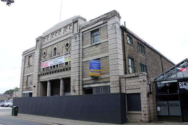
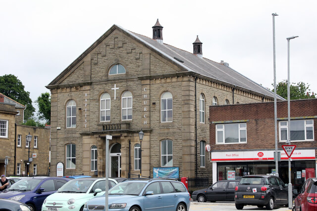
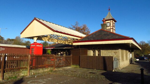
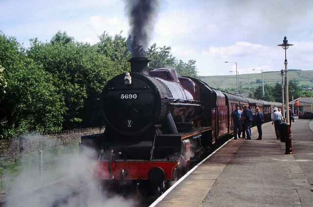
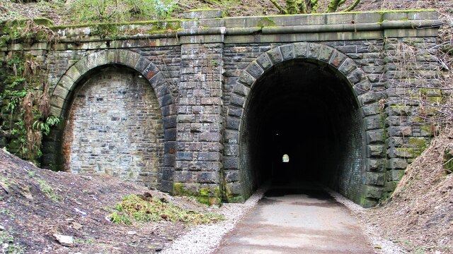
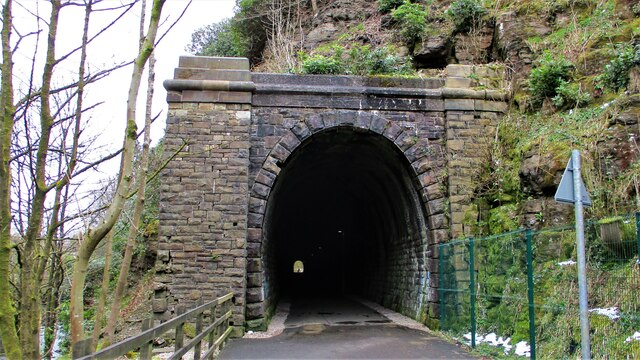
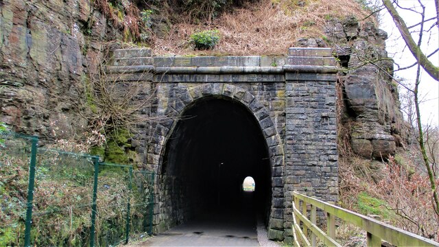
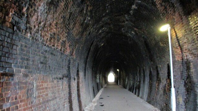
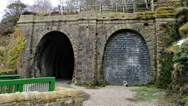
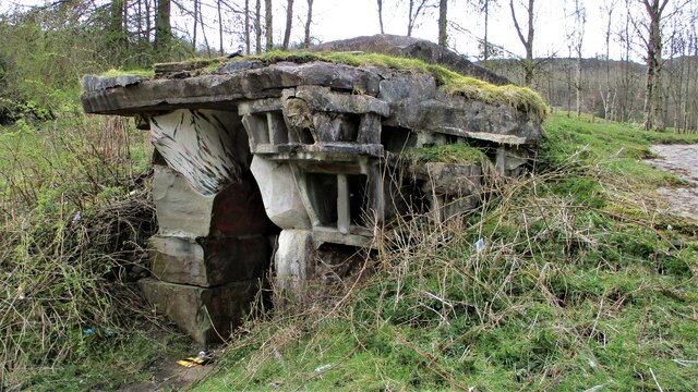
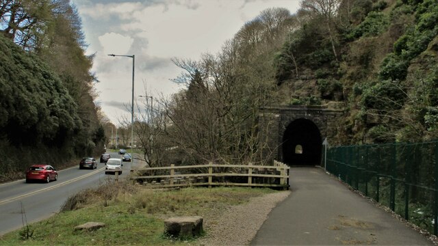
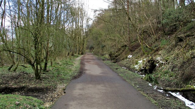
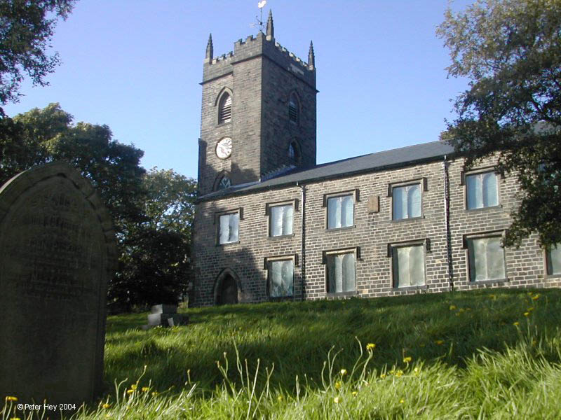
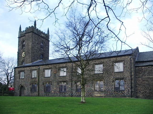
Hareholme Images
Images are sourced within 2km of 53.6969/-2.2650069 or Grid Reference SD8222. Thanks to Geograph Open Source API. All images are credited.
Hareholme is located at Grid Ref: SD8222 (Lat: 53.6969, Lng: -2.2650069)
Administrative County: Lancashire
District: Rossendale
Police Authority: Lancashire
What 3 Words
///pink.bond.shut. Near Rawtenstall, Lancashire
Nearby Locations
Related Wikis

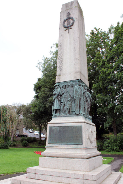
Cloughfold
Cloughfold is a small hamlet in between the towns of Rawtenstall and Waterfoot in Rossendale, Lancashire, England. Clough Fold railway station on the Rawtenstall...

Clough Fold railway station
Clough Fold Railway Station served Cloughfold near Rawtenstall, Lancashire, England from 1871 until the line closed in 1966. == References == Lost Railways...

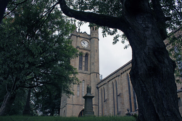
St John's Church, Rawtenstall
St John's Church is a redundant Anglican church in Newchurch Road, Cloughfold, Rawtenstall, Lancashire, England. It is recorded in the National Heritage...
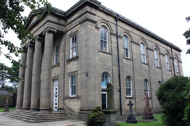
St Nicholas Church, Newchurch
St Nicholas Church in Newchurch, Lancashire, England, is an active Anglican parish church in the diocese of Manchester, founded in the early 16th century...
Newchurch, Lancashire
Newchurch is a village within the borough of Rossendale in Lancashire, England. It is around one mile east of Rawtenstall and half a mile north of Waterfoot...
Waterfoot railway station
Waterfoot railway station served Waterfoot, Rossendale near Rawtenstall, Lancashire, England from 1848 until the line closed in 1966. == History == The...

Rossendale Valley
The Rossendale Valley is in the Rossendale area of Lancashire, England, between the West Pennine Moors and the main range of the Pennines. The area includes...
Waterfoot, Lancashire
Waterfoot is a historic mill town and civil parish in the Borough of Rossendale between Rawtenstall and Bacup in Lancashire, England. The B6238 road from...
Related Videos

Tor Hill, Rossendale, Lancashire - warming up by hiking before the long running fell race
5 mile hike in Rossendale up Tor Hill and around it. East Lancashire. 25 March 2023 (Saturday) Strava Route: ...


Rossendale, Knowl Moor Hill, Greenbooth and Middle Naden Reservoirs, Lancashire
5 mile family circular hike in the East Lancashire area of Rossendale. First time doing this walk. Along Greenbooth and Middle ...

Luxury £1.65 Million Modern Home in the Countryside near Manchester #Shorts
Subscribe for more luxury walk-through tours. Watch the full tour: https://youtu.be/qQBrGI2N-u8.
Nearby Amenities
Located within 500m of 53.6969,-2.2650069Have you been to Hareholme?
Leave your review of Hareholme below (or comments, questions and feedback).