Gwyddon
Settlement in Monmouthshire
Wales
Gwyddon
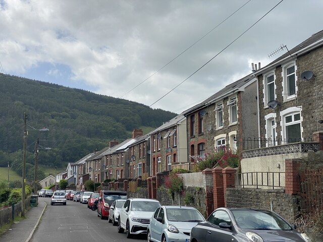
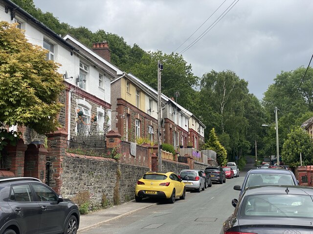
Gwyddon is a small village located in Monmouthshire, Wales, with a population of around 500 residents. Situated in the southeastern part of the county, it is surrounded by picturesque countryside and offers a tranquil and idyllic setting.
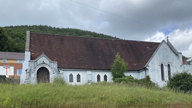
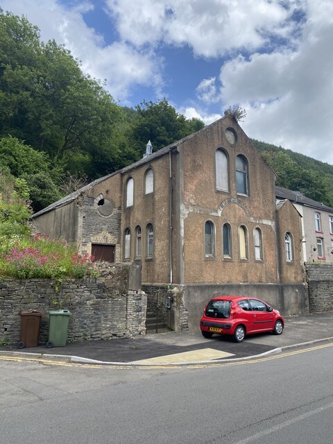
The village is known for its rich history, dating back to the medieval period. It boasts several historical landmarks, including a 12th-century church, St. Michael's Church, which is a Grade II listed building. The church's architecture showcases a mix of Norman and Gothic styles, attracting visitors interested in historical and architectural heritage.
Gwyddon is well-connected to neighboring towns and cities, with the A40 road passing through the village, providing easy access to Monmouth, Abergavenny, and Newport. Despite its small size, the village offers a range of amenities to its residents, including a primary school, a community center, and a local pub where locals and visitors can gather and socialize.
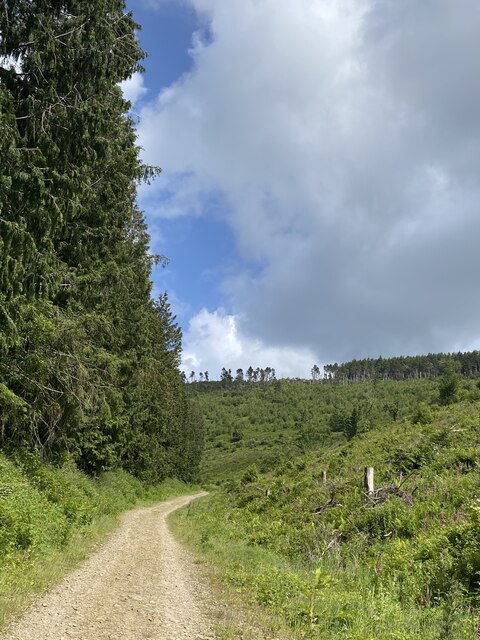
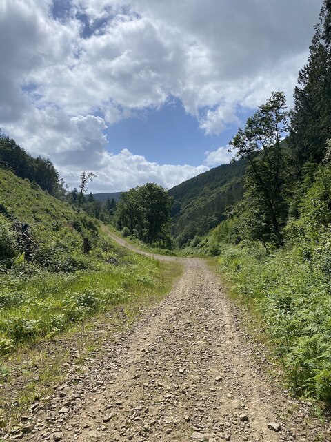
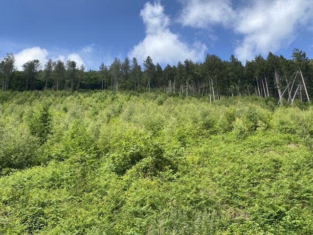
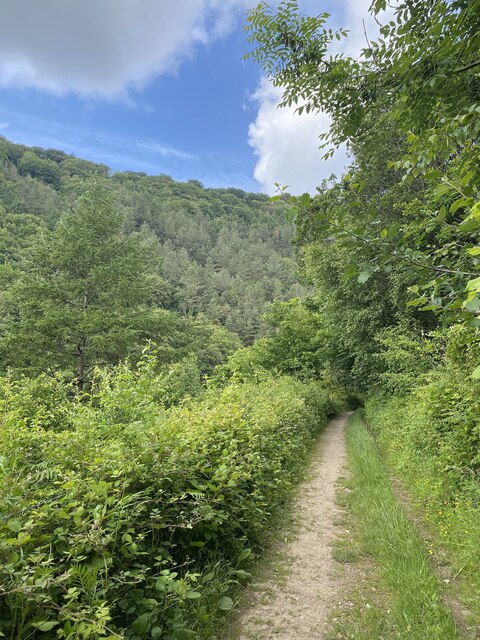
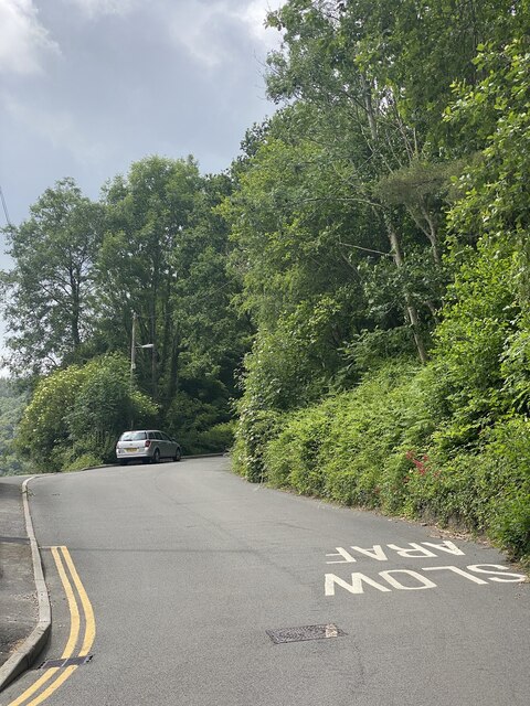
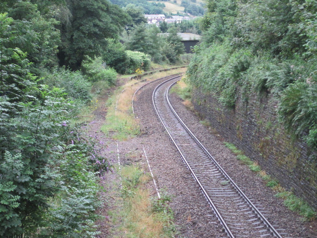
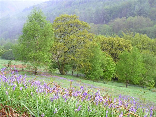
The surrounding natural beauty of Gwyddon makes it an ideal location for outdoor enthusiasts. The nearby Monmouthshire and Brecon Canal offers opportunities for leisurely walks and boat trips, while the rolling hills and woodlands provide an excellent setting for hiking, cycling, and wildlife observation.
Overall, Gwyddon is a charming and peaceful village, offering a blend of historical charm, natural beauty, and a close-knit community. It is a place where residents and visitors can appreciate the simplicity of rural life while enjoying the convenience of nearby urban centers.
If you have any feedback on the listing, please let us know in the comments section below.
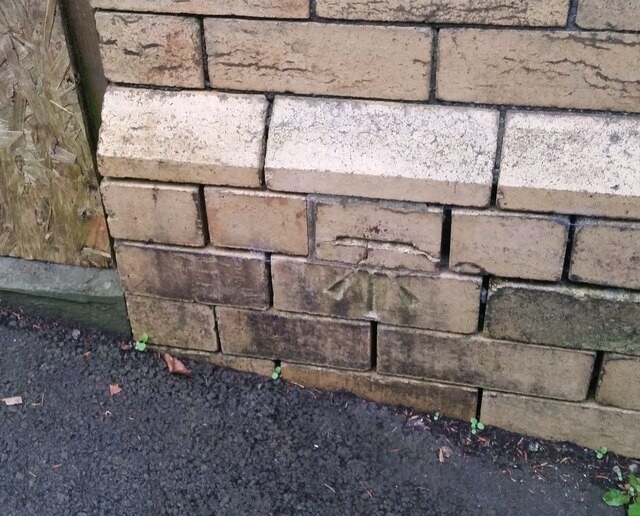
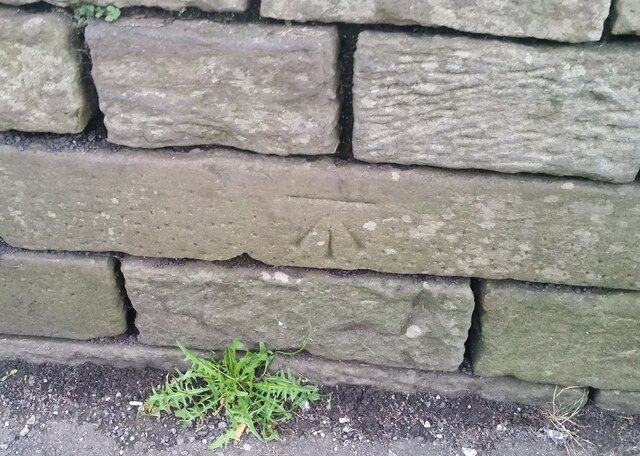
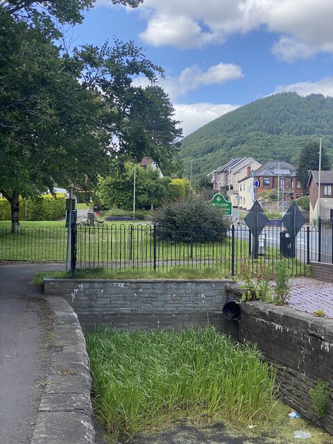
Gwyddon Images
Images are sourced within 2km of 51.648003/-3.1306428 or Grid Reference ST2194. Thanks to Geograph Open Source API. All images are credited.

Gwyddon is located at Grid Ref: ST2194 (Lat: 51.648003, Lng: -3.1306428)
Unitary Authority: Caerphilly
Police Authority: Gwent
What 3 Words
///jotting.carpentry.summaries. Near Abercarn, Caerphilly
Related Wikis

Abercarn colliery disaster
The Abercarn colliery disaster was a catastrophic explosion within the Prince of Wales Colliery in the Welsh village of Abercarn (then in the county of...
Abercarn
Abercarn is a town and community in Caerphilly county borough, Wales. It is 10 miles (16 km) northwest of Newport on the A467 between Cwmcarn and Newbridge...
Abercarn railway station
Abercarn railway station served the village of Abercarn, in the county of Monmouthshire. == History == The station was opened by the Monmouthshire Railway...

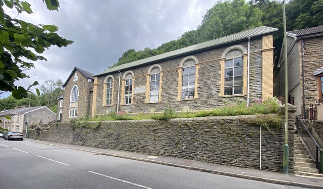
English Baptist Church, Abercarn
The English Baptist Church is a Grade II-listed Baptist church in the town of Abercarn, Caerphilly, Wales. It was built in the mid-nineteenth century to...
Abercarn United A.F.C.
Abercarn United Football Club is a Welsh football team based in Abercarn, Caerphilly county borough, Wales. They currently play in the Ardal SE, the...
Cwmcarn railway station
Cwmcarn railway station served the village of Cwmcarn, Monmouthshire from 1855 to 1962 on the Ebbw Valley Railway. == History == The station opened in...
Cwmcarn
Cwmcarn is a village situated in the Ebbw valley in south Wales, in the historic boundaries of Monmouthshire. It grew with 19th-century coal mining, but...

Islwyn
The Borough of Islwyn was one of five local government districts of Gwent from 1974 to 1996. == History == The borough was formed in 1974 as a local government...
Nearby Amenities
Located within 500m of 51.648003,-3.1306428Have you been to Gwyddon?
Leave your review of Gwyddon below (or comments, questions and feedback).