Gwernydd
Settlement in Caernarfonshire
Wales
Gwernydd
Gwernydd is a small village located in the historic county of Caernarfonshire, Wales. Situated in the northwestern part of the country, Gwernydd is nestled amidst the picturesque landscapes of Snowdonia National Park. The village is situated approximately 4 miles southeast of the town of Caernarfon and enjoys a rural setting surrounded by rolling hills, lush green fields, and dense woodlands.
Gwernydd has a relatively small population, primarily consisting of locals who are engaged in farming and other agricultural activities. The village has a quaint charm, with traditional stone-built houses and a close-knit community atmosphere. Despite its small size, Gwernydd is known for its warm and welcoming residents who take pride in their Welsh heritage.
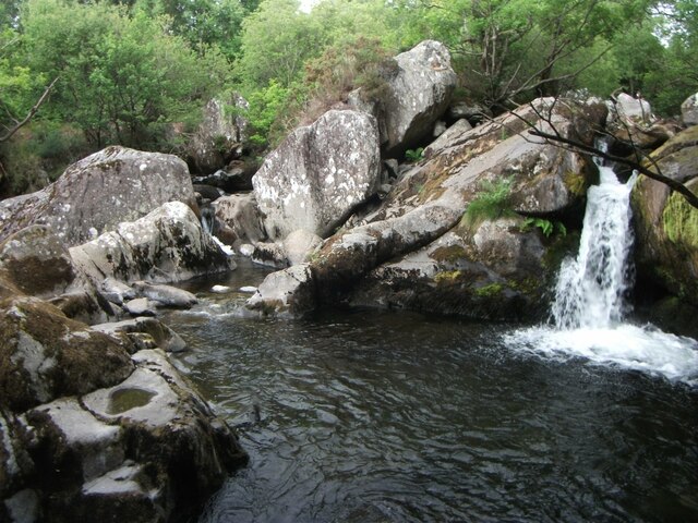
The village offers a peaceful retreat for nature lovers and outdoor enthusiasts. Visitors can explore the surrounding countryside through various walking trails and hiking paths, immersing themselves in the stunning natural beauty of the area. Additionally, Gwernydd is conveniently located near several popular tourist attractions, including the majestic Caernarfon Castle and the scenic Menai Strait.
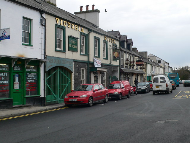
While Gwernydd is primarily a residential area, there are a few amenities available to the local community. These include a village hall, a small convenience store, and a local pub where residents can socialize and unwind. For more extensive shopping and entertainment options, residents typically travel to the nearby towns of Caernarfon or Bangor.
Overall, Gwernydd offers a tranquil and idyllic setting for those seeking a peaceful retreat in the heart of the Welsh countryside. Its natural beauty, friendly community, and proximity to other attractions make it an appealing destination for visitors and a cherished home for its residents.
If you have any feedback on the listing, please let us know in the comments section below.
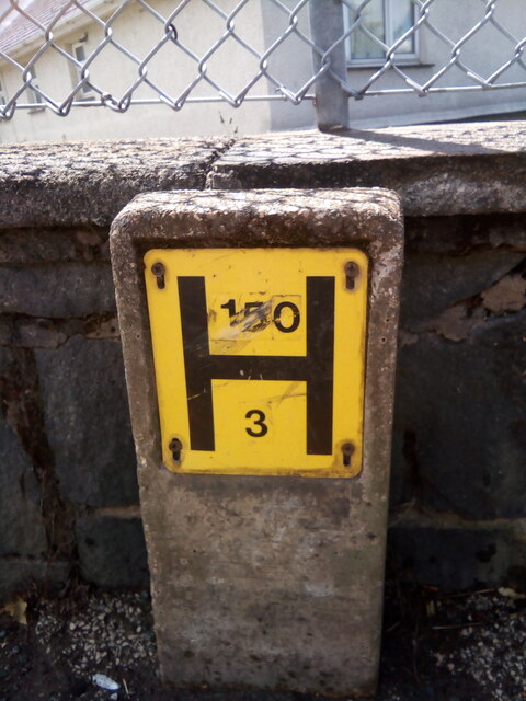
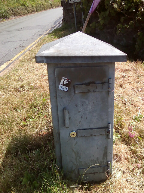
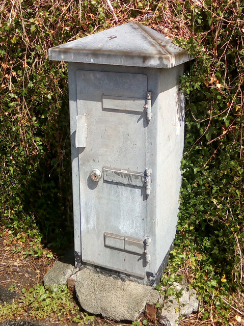
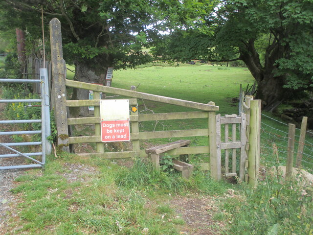
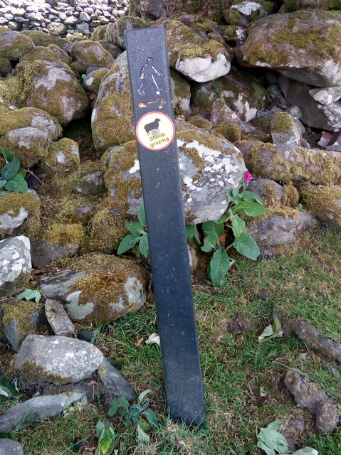
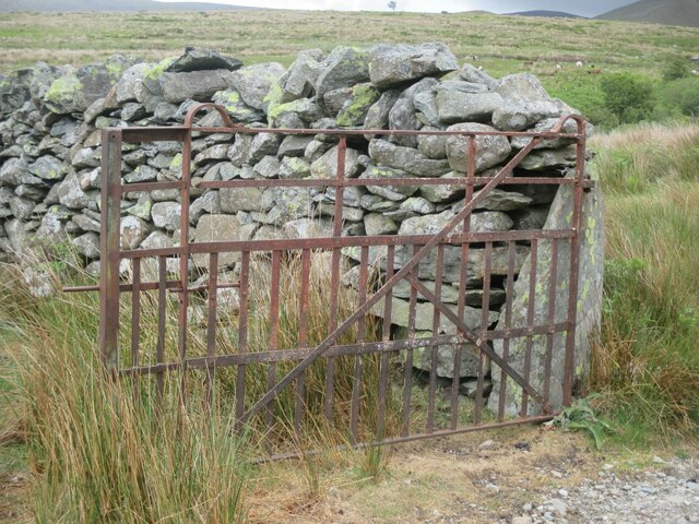
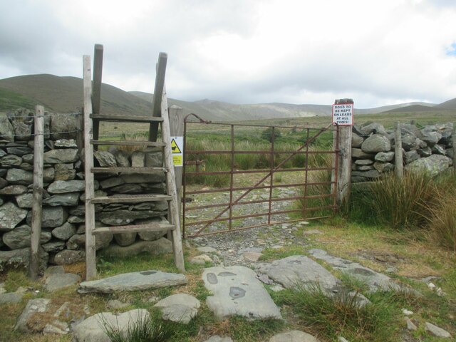
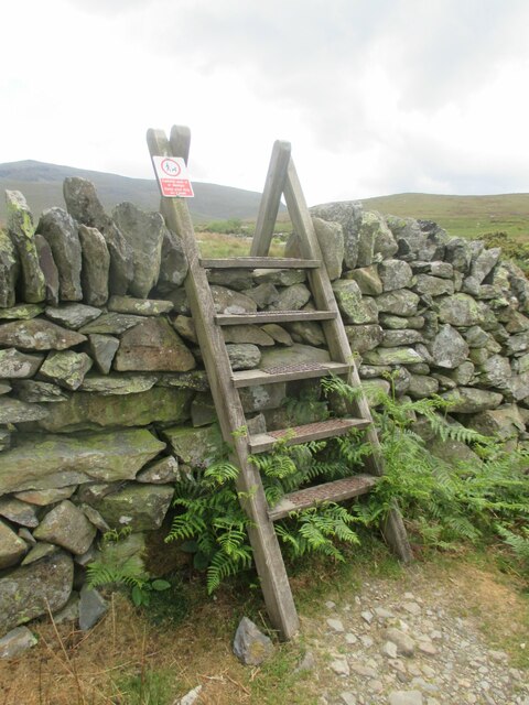
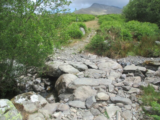
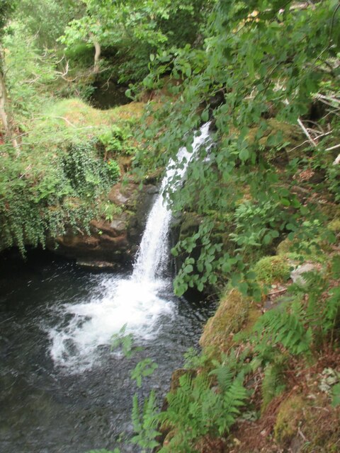
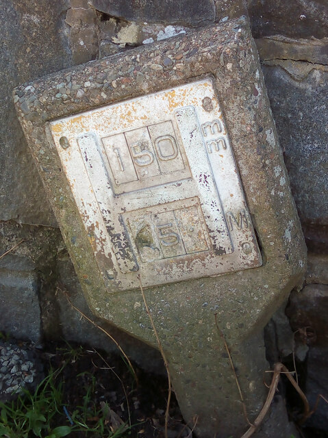
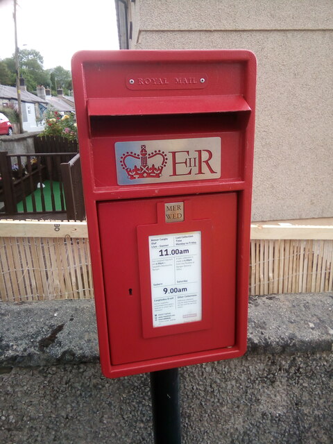
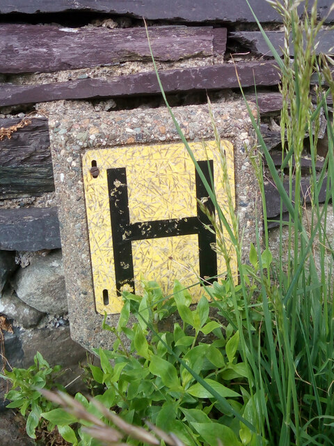
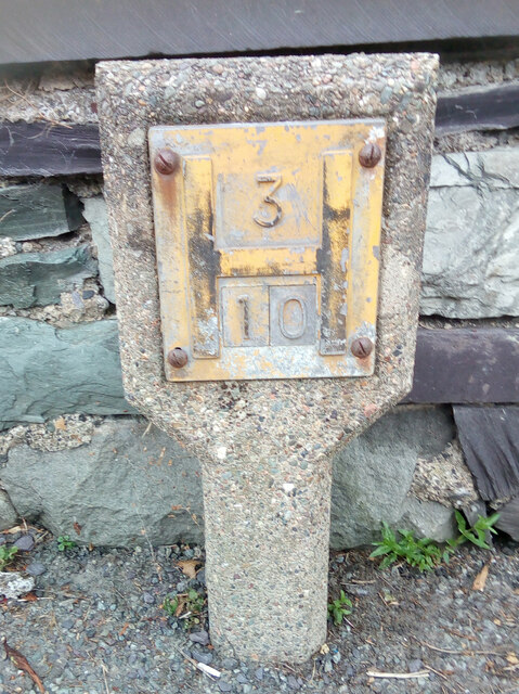
Gwernydd Images
Images are sourced within 2km of 53.175952/-4.0463212 or Grid Reference SH6366. Thanks to Geograph Open Source API. All images are credited.


Gwernydd is located at Grid Ref: SH6366 (Lat: 53.175952, Lng: -4.0463212)
Unitary Authority: Gwynedd
Police Authority: North Wales
What 3 Words
///newer.shuttled.spins. Near Bethesda, Gwynedd
Related Wikis

Cwm Caseg
Cwm Caseg is a broad glacial valley in Snowdonia leading west from the Carneddau towards Bethesda. It is bordered by Carnedd Llewelyn to the southeast...

Bethesda Athletic F.C.
Bethesda Athletic F.C. (; Welsh: [bɛθ'ɛsda]) is a football club based in the Welsh town of Bethesda, in northwest Wales. They play in the Ardal NW which...

Afon Llafar
For the river which flows into Bala Lake see Afon Llafar (Dee)Afon Llafar is a river in the Carneddau, Snowdonia. It rises where many streams flow down...

Bethesda, Gwynedd
Bethesda (; Welsh: [bɛθ'ɛsda]) is a town and community in Gwynedd, Wales. It is on the banks of Afon Ogwen and on the edge of Snowdonia. It is 5 miles...

Jerusalem Chapel, Bethesda
Jerusalem Chapel, Bethesda, Gwynedd, Wales is a Presbyterian Church of Wales chapel built in 1841–1842 and reconstructed in 1872–1875. Of colossal size...

Pantdreiniog quarry
The Pantdreiniog quarry (also known as the Pant Dreiniog quarry) was a slate quarry within the town of Bethesda in North Wales. It was worked between about...

Ysgol Dyffryn Ogwen
Ysgol Dyffryn Ogwen ("Ogwen Valley School") is a bilingual secondary school for pupils aged 11 to 19 years. It is situated in Bethesda in the Ogwen valley...
Ogwen (electoral ward)
Ogwen is the name of an electoral ward covering part of the village and community of Bethesda in Gwynedd, Wales. It elects councillors to the community...
Related Videos

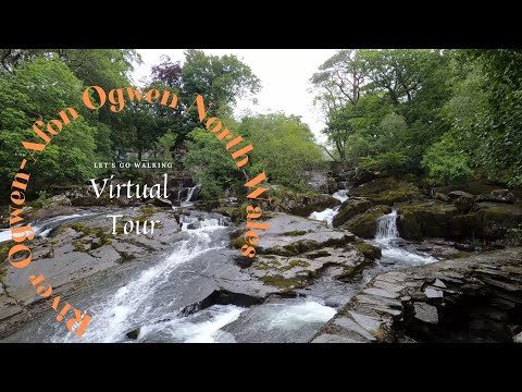
River Ogwen, Afon Ogwen – North Wales – Riffles, Weirs and Waterfalls – Virtual Walking Tour
River Ogwen, Afon Ogwen – North Wales – Riffles, Weirs and Waterfalls – Virtual Walking Tour Starting point: #What3Words ...
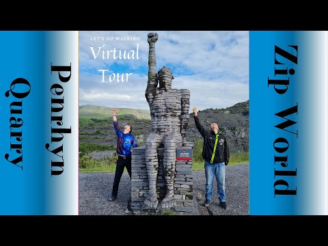
Penrhyn Quarry Zip World – Bethesda North Wales – Zip Line & Karting Fun – Virtual Walking Tour
Penrhyn Quarry Zip World – Bethesda North Wales – Zip Line, Karting Quarry Fun – Virtual Walking Tour Starting point: ...

Bryn Llys – North Wales – Self Catering – Motorhome – Caravan Park – Treadmill Virtual Walking Tour
Bryn Llys – North Wales – Self Catering – Motorhome – Caravan Park – Treadmill Virtual Walking Tour Starting point: ...
Nearby Amenities
Located within 500m of 53.175952,-4.0463212Have you been to Gwernydd?
Leave your review of Gwernydd below (or comments, questions and feedback).