Gritnam

Settlement in Hampshire New Forest

England

Gritnam

Bus stop - A337 southbound
Bus stop - A337 southbound Credit: Dave Thompson

Gritnam is a small village located in the county of Hampshire, England. Situated in the South Downs National Park, it is surrounded by picturesque countryside and offers residents and visitors a tranquil and idyllic setting.

The village of Gritnam is home to a close-knit community of approximately 500 residents. The houses in the village mostly consist of charming cottages and traditional stone-built homes. The well-preserved architecture adds to the village's character and charm.

Gritnam boasts a range of amenities to cater to its residents' needs. These include a village hall, a local pub, and a small convenience store. Additionally, there is a primary school within the village, providing education for the local children.

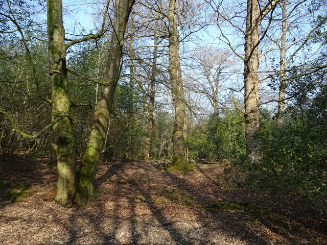
One of the highlights of Gritnam is its proximity to the South Downs Way, a long-distance footpath that stretches across the South Downs National Park. This makes the village an ideal base for outdoor enthusiasts and hikers, who can enjoy the stunning natural beauty of the area.

The surrounding countryside offers numerous walking and cycling routes, allowing visitors to explore the rolling hills, woodlands, and meadows. The village also benefits from being close to several other charming towns and villages, such as Winchester and Petersfield, which provide additional amenities and attractions.

Overall, Gritnam offers a peaceful and picturesque lifestyle, with its beautiful countryside, friendly community, and easy access to outdoor activities. It is a hidden gem in Hampshire, attracting those seeking a quaint and rural escape.

If you have any feedback on the listing, please let us know in the comments section below.
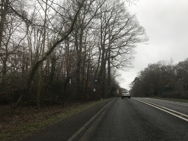
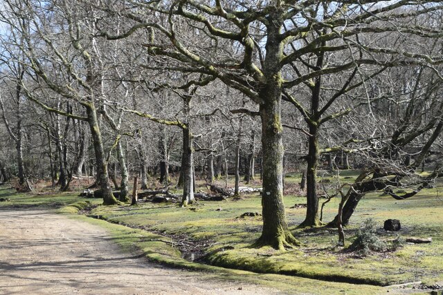
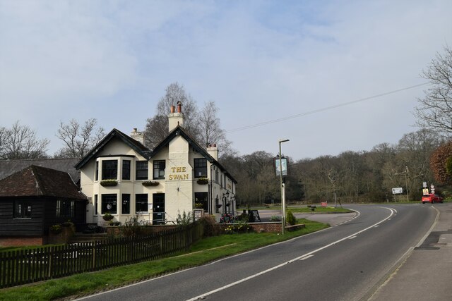
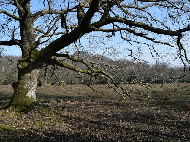
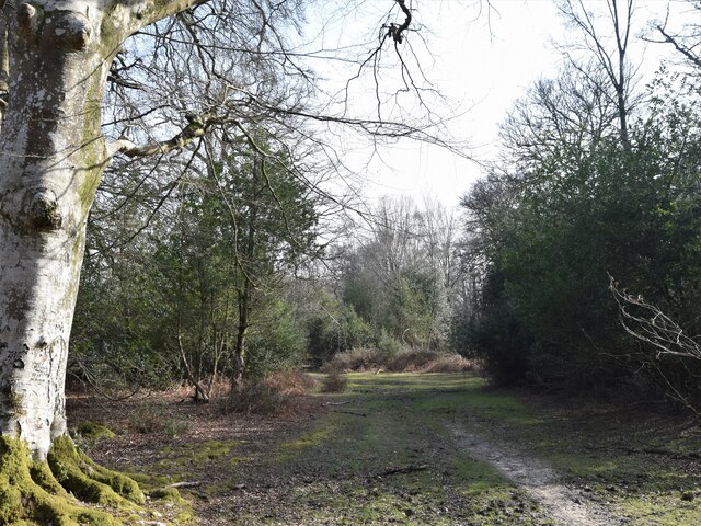
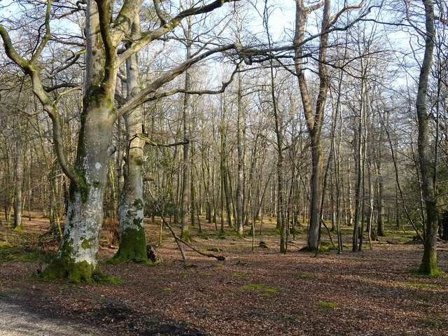
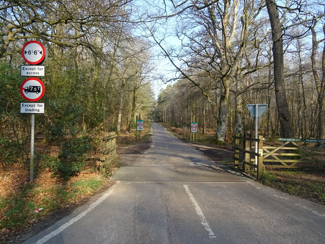
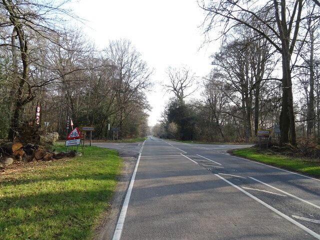
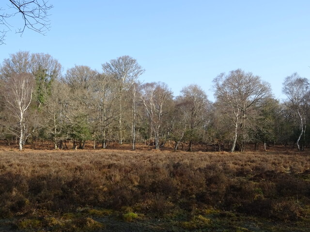
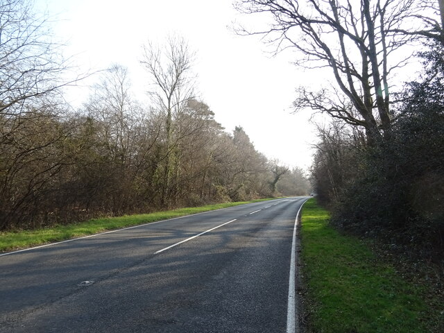
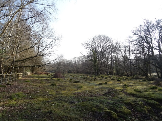
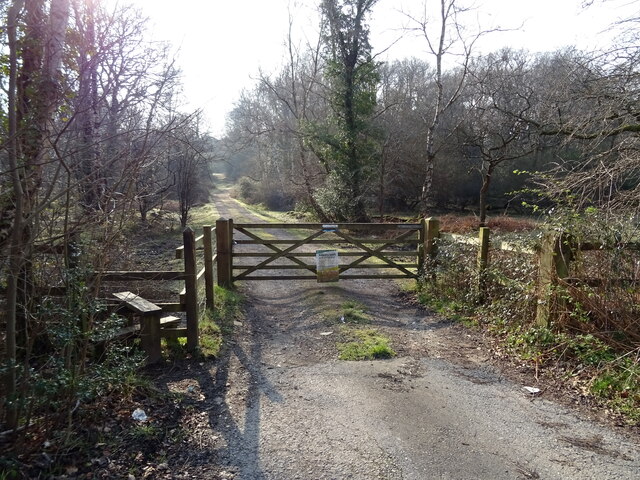
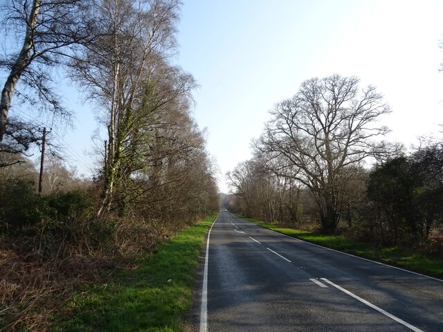
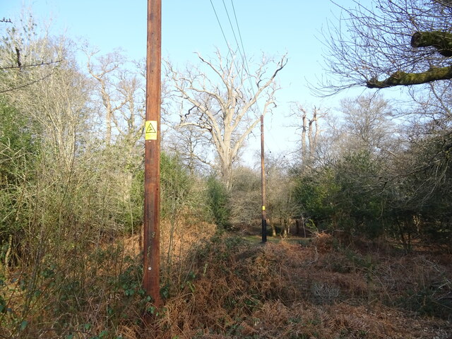
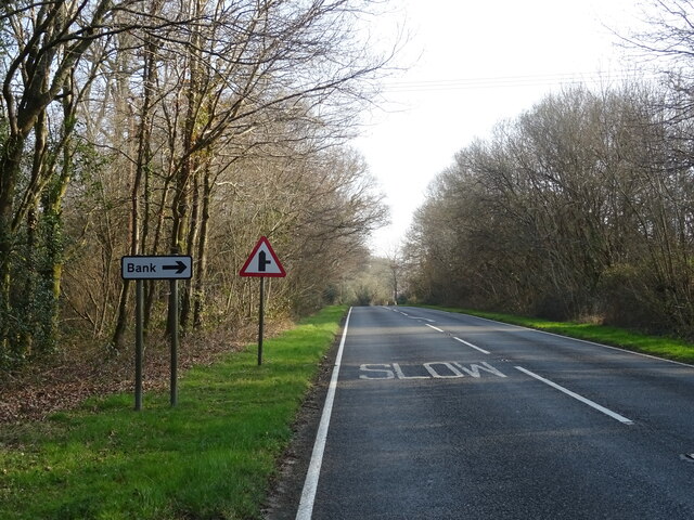
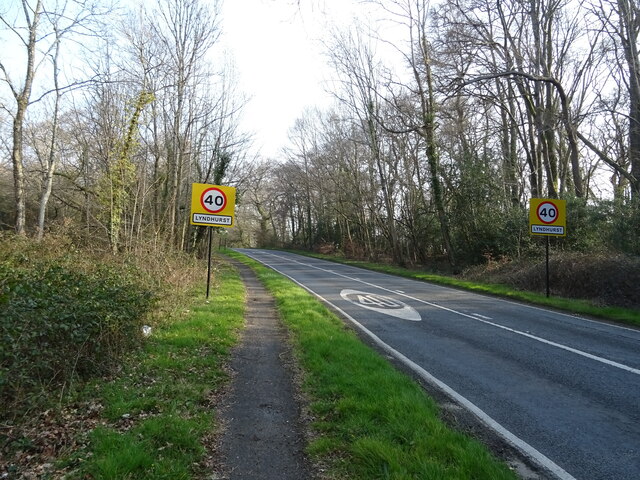
Gritnam Images

Images are sourced within 2km of 50.857452/-1.5995014 or Grid Reference SU2806. Thanks to Geograph Open Source API. All images are credited.

Bus stop - A337 southbound
Beside the car park at Clayhill Heath
The Swan Pub on the A35 out of Lyndhurst
The Swan
Pub on the A35 out of Lyndhurst
Christ Church, Emery Down One of three churches in the benefice of Lyndhurst, Emery Down and Minstead
Christ Church, Emery Down
One of three churches in the benefice of Lyndhurst, Emery Down and Minstead
Old oak and forest clearing
Forest track South from James Hill car park
Forest track
South from James Hill car park
New Forest woodland
New Forest woodland
Cattle grid on Bolderwood Arboretum Ornamental Drive
Crossroads on the A35 towards Lyndhurst  The A35 is a major (and regularly congested) route along England's south coast. It runs for 97 miles, connecting Honiton in Devon with Southampton in Hampshire, via Poole and Bournemouth, with much of its route passing through Dorset and the New Forest. It is a trunk road for some of its length.
<span class="nowrap"><a title="http://www.sabre-roads.org.uk/wiki/index.php?title=A35" rel="nofollow ugc noopener" href="http://www.sabre-roads.org.uk/wiki/index.php?title=A35">Link</a><img style="margin-left:2px;" alt="External link" title="External link - shift click to open in new window" src="https://s1.geograph.org.uk/img/external.png" width="10" height="10"/></span>  SABRE
Crossroads on the A35 towards Lyndhurst
The A35 is a major (and regularly congested) route along England's south coast. It runs for 97 miles, connecting Honiton in Devon with Southampton in Hampshire, via Poole and Bournemouth, with much of its route passing through Dorset and the New Forest. It is a trunk road for some of its length. LinkExternal link SABRE
Woodland, Warwick Slade
A35 towards Lyndhurst  The A35 is a major (and regularly congested) route along England's south coast. It runs for 97 miles, connecting Honiton in Devon with Southampton in Hampshire, via Poole and Bournemouth, with much of its route passing through Dorset and the New Forest. It is a trunk road for some of its length.
<span class="nowrap"><a title="http://www.sabre-roads.org.uk/wiki/index.php?title=A35" rel="nofollow ugc noopener" href="http://www.sabre-roads.org.uk/wiki/index.php?title=A35">Link</a><img style="margin-left:2px;" alt="External link" title="External link - shift click to open in new window" src="https://s1.geograph.org.uk/img/external.png" width="10" height="10"/></span>  SABRE
A35 towards Lyndhurst
The A35 is a major (and regularly congested) route along England's south coast. It runs for 97 miles, connecting Honiton in Devon with Southampton in Hampshire, via Poole and Bournemouth, with much of its route passing through Dorset and the New Forest. It is a trunk road for some of its length. LinkExternal link SABRE
Grazing beside the A35
Gated track to sewage works
A35 towards Lyndhurst  The A35 is a major (and regularly congested) route along England's south coast. It runs for 97 miles, connecting Honiton in Devon with Southampton in Hampshire, via Poole and Bournemouth, with much of its route passing through Dorset and the New Forest. It is a trunk road for some of its length.
<span class="nowrap"><a title="http://www.sabre-roads.org.uk/wiki/index.php?title=A35" rel="nofollow ugc noopener" href="http://www.sabre-roads.org.uk/wiki/index.php?title=A35">Link</a><img style="margin-left:2px;" alt="External link" title="External link - shift click to open in new window" src="https://s1.geograph.org.uk/img/external.png" width="10" height="10"/></span>  SABRE
A35 towards Lyndhurst
The A35 is a major (and regularly congested) route along England's south coast. It runs for 97 miles, connecting Honiton in Devon with Southampton in Hampshire, via Poole and Bournemouth, with much of its route passing through Dorset and the New Forest. It is a trunk road for some of its length. LinkExternal link SABRE
Powerlines and woodland near Bank
A35 near Bank The A35 is a major (and regularly congested) route along England's south coast. It runs for 97 miles, connecting Honiton in Devon with Southampton in Hampshire, via Poole and Bournemouth, with much of its route passing through Dorset and the New Forest. It is a trunk road for some of its length.
<span class="nowrap"><a title="http://www.sabre-roads.org.uk/wiki/index.php?title=A35" rel="nofollow ugc noopener" href="http://www.sabre-roads.org.uk/wiki/index.php?title=A35">Link</a><img style="margin-left:2px;" alt="External link" title="External link - shift click to open in new window" src="https://s1.geograph.org.uk/img/external.png" width="10" height="10"/></span>  SABRE
A35 near Bank
The A35 is a major (and regularly congested) route along England's south coast. It runs for 97 miles, connecting Honiton in Devon with Southampton in Hampshire, via Poole and Bournemouth, with much of its route passing through Dorset and the New Forest. It is a trunk road for some of its length. LinkExternal link SABRE
Entering Lyndhurst  on the A35
Entering Lyndhurst on the A35
Woodland, Lyndhurst Hill
Show me another place!

Gritnam is located at Grid Ref: SU2806 (Lat: 50.857452, Lng: -1.5995014)

Administrative County: Hampshire

District: New Forest

Police Authority: Hampshire

What 3 Words

///lunge.messaging.costumed. Near Lyndhurst, Hampshire

Nearby Locations

Gritnam Wood Gritnam

Related Wikis

Bank, Hampshire

Bank is a village in the English county of Hampshire. The settlement is within the civil parish of Lyndhurst in the New Forest, and is located approximately...

Allum Green

Allum Green is a hamlet southwest of Lyndhurst, Hampshire, England. During the night of 5/6 September 1940 it was the scene of a Luftwaffe bombing raid...

New Forest

The New Forest is one of the largest remaining tracts of unenclosed pasture land, heathland and forest in Southern England, covering southwest Hampshire...

Warwickslade Cutting Railway

The Warwickslade Cutting Railway was a light railway temporarily built to fill in the Warwickslade Cutting, a straight drainage ditch dug circa 1850 in...

Nearby Amenities

Located within 500m of 50.857452,-1.5995014
Bridge: yes
Lat/Long: 50.8591486/-1.5988817
Barrier: cattle_grid
Bicycle: yes
Foot: yes
Motorcar: yes
Motorcycle: yes
Lat/Long: 50.8612987/-1.6016402
Gritnam
Is In: Hampshire, UK
Place: hamlet
Lat/Long: 50.8577622/-1.5996556
Ford: yes
Lat/Long: 50.8565556/-1.6021503
fire hydrant
Lat/Long: 50.8605927/-1.598336
The data included in this document is from www.openstreetmap.org. The data is made available under ODbL.

Have you been to Gritnam?

Leave your review of Gritnam below (or comments, questions and feedback).