Greystone

Settlement in Yorkshire

England

Greystone

Path through the woods, Oakwell Hall Country Park
Path through the woods, Oakwell Hall Country Park Credit: habiloid

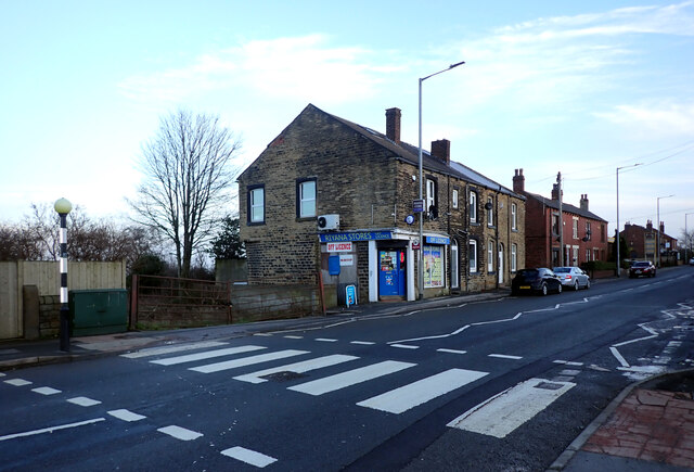
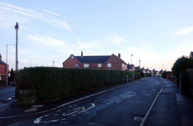
Greystone is a small village located in the heart of Yorkshire, England. Nestled amidst the rolling hills and picturesque countryside, it is a quintessential rural settlement that exudes charm and tranquility. With a population of approximately 500 residents, Greystone offers a close-knit community feel, where neighbors are familiar faces and a sense of belonging is palpable.

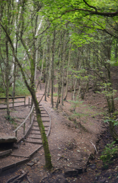
The village is known for its stunning natural beauty, with lush green fields, meandering streams, and ancient woodlands surrounding the area. Walking trails and cycling paths crisscross the countryside, providing ample opportunities for outdoor enthusiasts to explore the breathtaking landscapes and enjoy the fresh air.

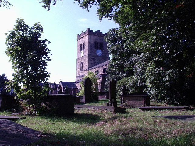
Greystone is also home to a number of historical landmarks, showcasing its rich heritage. The village church, St. Mary's, is a prominent feature with its striking architecture and stained glass windows dating back centuries. The nearby Greystone Manor, a grand Georgian mansion, serves as a reminder of the area's aristocratic past.

Despite its small size, Greystone boasts a vibrant community spirit. Local events such as summer fairs, harvest festivals, and Christmas markets bring residents together to celebrate and socialize. The village pub, The Greyhound Inn, is a popular gathering spot, where locals and visitors can enjoy a pint of traditional Yorkshire ale and engage in friendly conversation.

In conclusion, Greystone is a picturesque village in Yorkshire, offering a tranquil retreat from the hustle and bustle of modern life. Its natural beauty, rich history, and strong sense of community make it an idyllic place to live or visit.

If you have any feedback on the listing, please let us know in the comments section below.
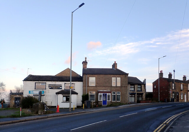
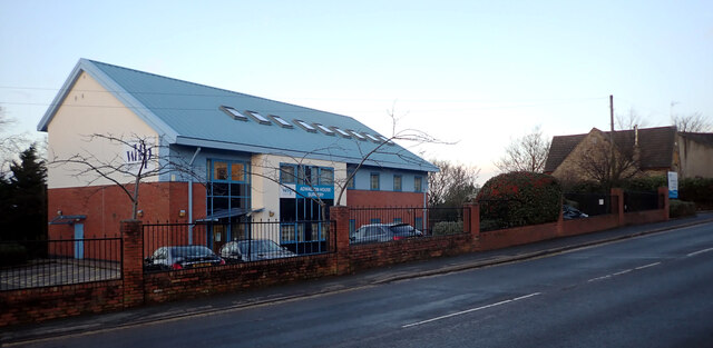
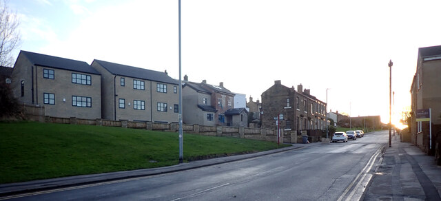
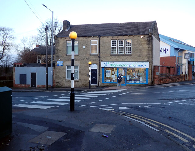
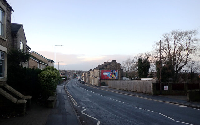
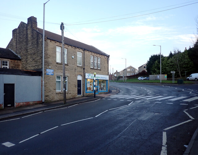
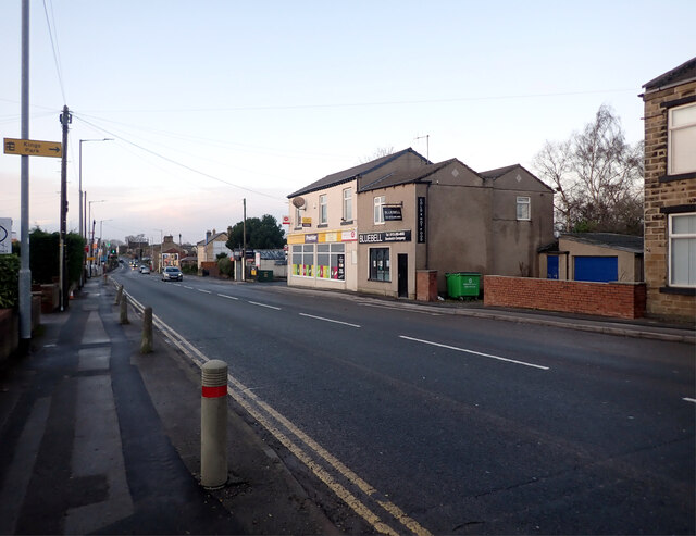
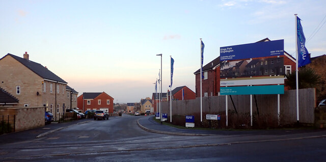
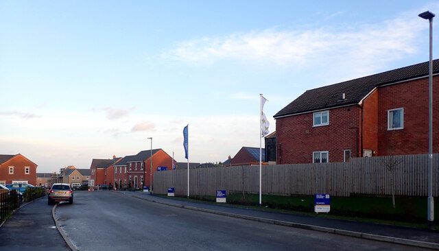
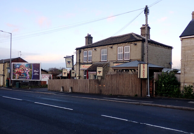
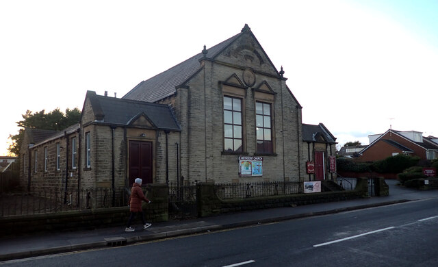
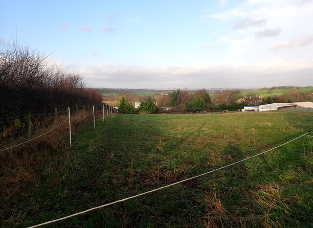
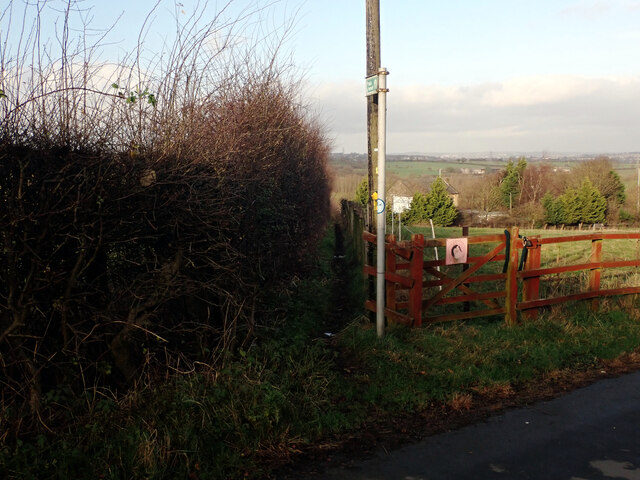
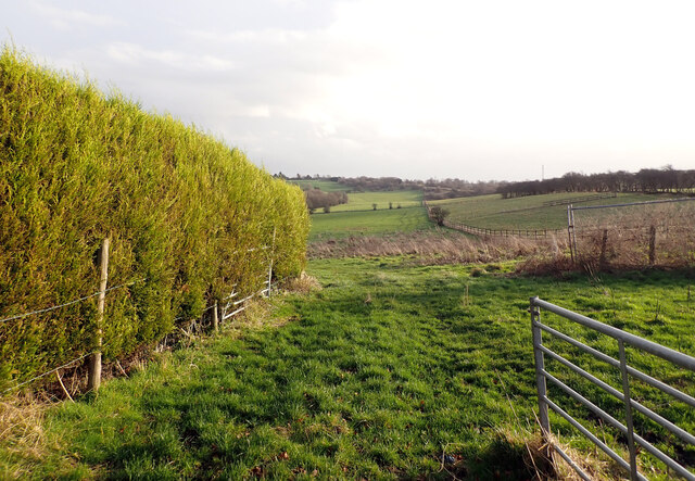
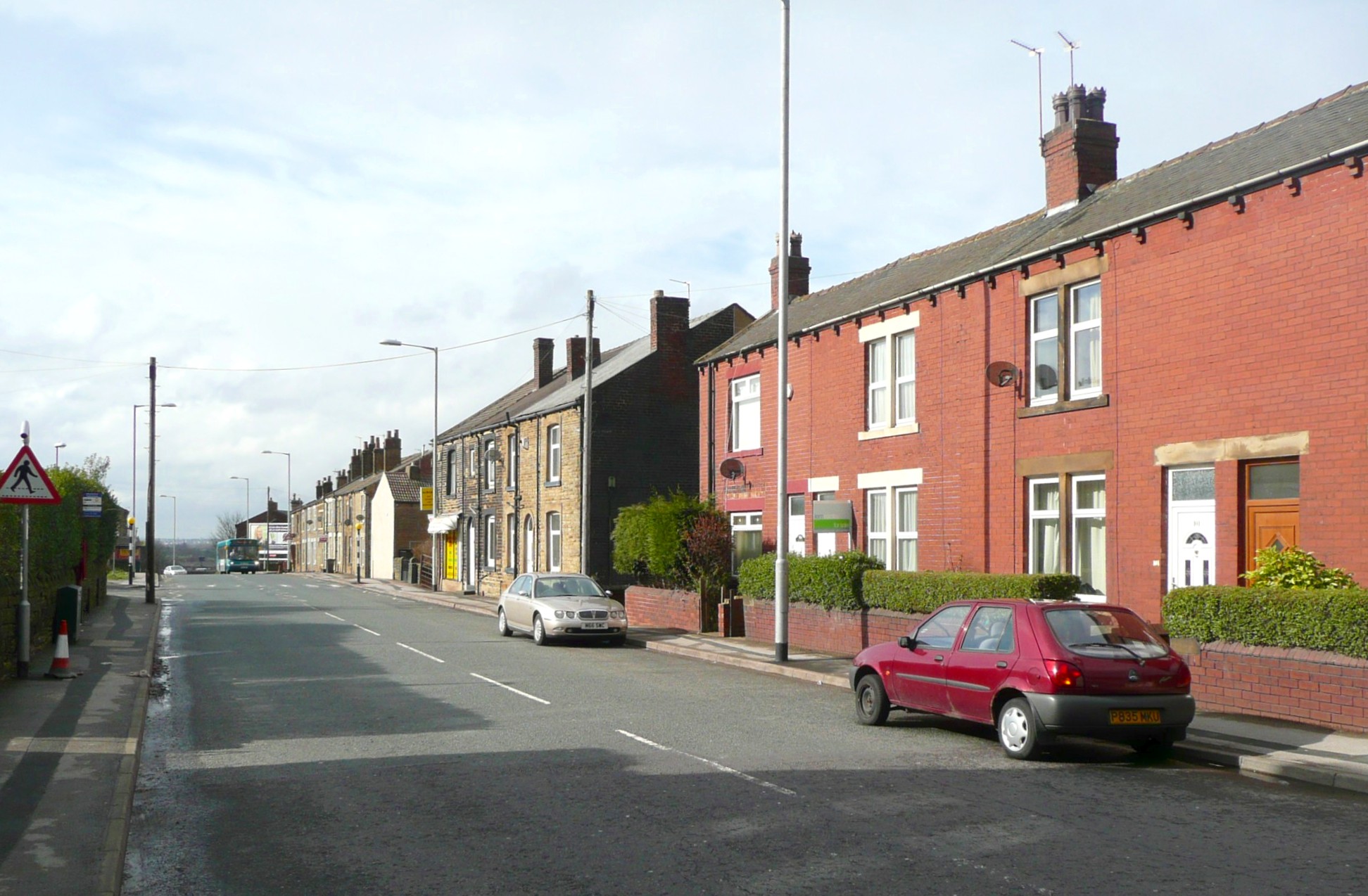
Greystone Images

Images are sourced within 2km of 53.750509/-1.642516 or Grid Reference SE2328. Thanks to Geograph Open Source API. All images are credited.

Path through the woods, Oakwell Hall Country Park
Wakefield Road (B6135), Drighlington
Fairfax Avenue, Drighlington
Car Wash, Wakefield Road (B6135), Drighlington
Wakefield Road (B6135), Drighlington
Adwalton House Surgery, Wakefield Road (B6135), Drighlington
Moorside Road, Drighlington
Drighlington Pharmacy, King Street (B6135), Drighlington
King Street (B6135), Drighlington
The B6135 changing from King Street to Wakefield Road, Drighlington
King Street (B6135), Drighlington
Winterfell Road seen from King Street (B6135), Drighlington
Winterfell Road, Drighlington
Romano's Restaurant, King Street (B6135), Drighlington
Drighlington Methodist Church, King Street (B6135), Drighlington
View from Old Lane, Drighlington
Path to Whitehall Road leaving Old Lane, Drighlington
Path from Drighlington to Gildesome
Show me another place!

Greystone is located at Grid Ref: SE2328 (Lat: 53.750509, Lng: -1.642516)

Division: West Riding

Unitary Authority: Leeds

Police Authority: West Yorkshire

What 3 Words

///ducks.sugar.penny. Near Gildersome, West Yorkshire

Nearby Locations

Greystone

Related Wikis

Birstall Shopping Park

Birstall Shopping Park is a shopping park located in Birstall, Batley, West Yorkshire, England. It contains a wide variety of retailers and includes the...

Gildersome East railway station

Gildersome East railway station served the village of Gildersome, West Yorkshire, England, from 1900 to 1921 on the Leeds New Line. == History == The station...

Gildersome West railway station

Gildersome West railway station served the village of Gildersome, West Yorkshire, England, from 1856 to 1968 on the Leeds, Bradford and Halifax Junction...

Oakwell Hospital

Oakwell Hospital was originally a fever hospital built on a hill top in Birstall in West Riding of Yorkshire, England, caring for chiefly people with scarlet...

Adwalton

Adwalton is a village in the City of Leeds metropolitan borough, West Yorkshire, England. It is 6 miles (9.7 km) south west of Leeds and is now generally...

Gildersome

Gildersome is a village and civil parish in the City of Leeds metropolitan borough 5 miles (7 km) south-west of Leeds city centre in West Yorkshire, England...

Battle of Adwalton Moor

The Battle of Adwalton Moor occurred on 30 June 1643 at Adwalton, West Yorkshire, during the First English Civil War. In the battle, the Royalists loyal...

Drighlington

Drighlington is a village and civil parish in the City of Leeds metropolitan district, West Yorkshire, England. Historically part of the West Riding of...

Nearby Amenities

Located within 500m of 53.750509,-1.642516
Traffic Signals
Lat/Long: 53.7494409/-1.635528
Traffic Signals
Lat/Long: 53.7499304/-1.6357408
Traffic Signals
Traffic Signals: signal
Lat/Long: 53.7482274/-1.6368543
Traffic Signals
Lat/Long: 53.7492545/-1.6354054
Traffic Signals
Lat/Long: 53.7486932/-1.6362478
Traffic Signals
Lat/Long: 53.748762/-1.6358558
Traffic Signals
Lat/Long: 53.7488189/-1.6362901
Pub
Old Brickworks
Addr City: Bradford
Addr Postcode: BD11 1EA
Addr Street: Wakefield Road
Addr Suburb: Drighlington
Brand: Brewers Fayre
Fhrs Id: 1207201
Food: yes
Lat/Long: 53.7502289/-1.6436384
Premier Inn Leeds South
Addr City: Bradford
Addr Postcode: BD11 1EA
Addr Street: Wakefield Road
Addr Suburb: Drighlington
Alt Name: The Old Brickworks
Brand: Premier Inn
Brand Wikidata: Q2108626
Operator: Premier Inn
Tourism: hotel
Lat/Long: 53.7500307/-1.6439377
Pub
New Inn Pub & Restaurant
Addr City: Bradford
Addr Housenumber: 144
Addr Postcode: BD11 1EA
Addr Street: Wakefield Road
Addr Suburb: Drighlington
Fhrs Id: 1024477
Food: yes
Lat/Long: 53.751718/-1.6495193
Parking
Lat/Long: 53.751694/-1.6492099
Telephone
Booth: KX100
Covered: booth
Lat/Long: 53.750851/-1.6377041
Post Box
Operator: Royal Mail
Post Box Type: lamp
Ref: BD11 457
Lat/Long: 53.750574/-1.6423101
Bus Stop
Wakefield Road
Local Ref: 45013032
Naptan AtcoCode: 450013032
Naptan Bearing: E
Naptan CommonName: Wakefield Road
Naptan Crossing: Nr-At Bradford Road
Naptan Indicator: Stop 45013032
Naptan Landmark: Nr-At Wyre Hall Farm
Naptan PlusbusZoneRef: LEEDS
Naptan ShortCommonName: Bradford Road
Naptan Street: Wakefield Road
Naptan Verified: yes
Shelter: no
Source: naptan_import
Timetable: yes
Lat/Long: 53.7510705/-1.6456947
Bus Stop
Wakefield Road
Local Ref: 45013033
Naptan AtcoCode: 450013033
Naptan Bearing: W
Naptan CommonName: Wakefield Road
Naptan Crossing: Nr-Opp Bradford Road
Naptan Indicator: Stop 45013033
Naptan Landmark: Nr-Opp Wyre Hall Farm
Naptan NaptanCode: 45013033
Naptan PlusbusZoneRef: LEEDS
Naptan ShortCommonName: Bradford Road
Naptan Street: Wakefield Road
Naptan Verified: yes
Shelter: no
Source: naptan_import
Timetable: yes
Lat/Long: 53.750824/-1.645255
Bus Stop
Wakefield Road Bradford Road
Local Ref: 45013034
Naptan AtcoCode: 450013034
Naptan Bearing: SE
Naptan CommonName: Wakefield Road Bradford Road
Naptan Crossing: Bradford Road
Naptan Indicator: Stop 45013034
Naptan PlusbusZoneRef: LEEDS
Naptan ShortCommonName: Bradford Road
Naptan Street: Wakefield Road
Naptan Verified: yes
Shelter: no
Source: naptan_import
Timetable: yes
Lat/Long: 53.7502104/-1.6414234
Bus Stop
Wakefield Road Bradford Road
Local Ref: 45013035
Naptan AtcoCode: 450013035
Naptan Bearing: NW
Naptan CommonName: Wakefield Road Bradford Road
Naptan Crossing: Bradford Road
Naptan Indicator: Stop 45013035
Naptan PlusbusZoneRef: LEEDS
Naptan ShortCommonName: Bradford Road
Naptan Street: Wakefield Road
Naptan Verified: yes
Shelter: no
Source: naptan_import
Timetable: yes
Lat/Long: 53.7502206/-1.641848
Traffic Signals
Lat/Long: 53.7489501/-1.63617
Traffic Signals
Lat/Long: 53.7498095/-1.6355711
Traffic Signals
Lat/Long: 53.7493055/-1.6356487
Traffic Signals
Traffic Signals: signal
Traffic Signals Direction: forward
Lat/Long: 53.7471506/-1.6379913
Generator Method: photovoltaic
Generator Output Electricity: yes
Generator Source: solar
Location: roof
Power: generator
Lat/Long: 53.7501937/-1.6443148
Generator Method: photovoltaic
Generator Output Electricity: yes
Generator Source: solar
Location: roof
Power: generator
Lat/Long: 53.749978/-1.6439326
Historic: yes
Man Made: chimney
Lat/Long: 53.7501263/-1.6436738
Traffic Signals
Traffic Signals: signal
Lat/Long: 53.7472816/-1.638096
Traffic Signals
Traffic Signals: signal
Lat/Long: 53.7483529/-1.636309
Traffic Signals
Traffic Signals: signal
Lat/Long: 53.7483458/-1.6365289
The data included in this document is from www.openstreetmap.org. The data is made available under ODbL.

Have you been to Greystone?

Leave your review of Greystone below (or comments, questions and feedback).