Green End
Settlement in Cambridgeshire South Cambridgeshire
England
Green End
Green End is a small village located in the county of Cambridgeshire, England. Situated approximately 8 miles northeast of the city of Cambridge, Green End is nestled amidst beautiful countryside, offering a tranquil and picturesque setting for its residents.
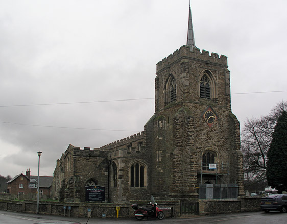
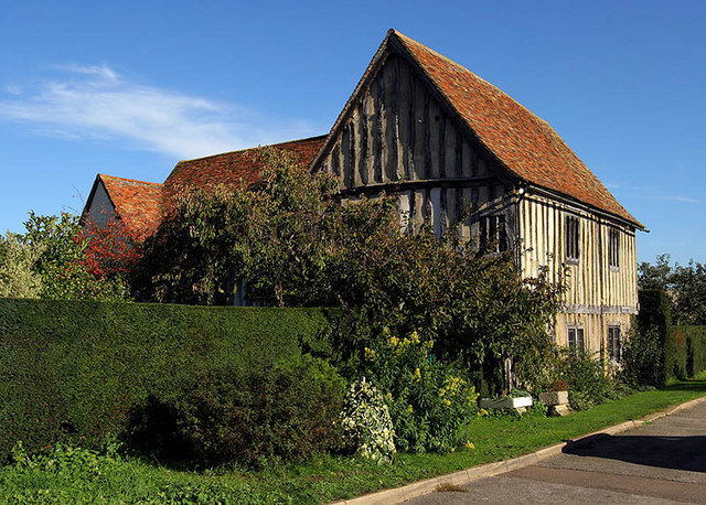
The village is home to a close-knit community, with a population of around 500 people. The architecture in Green End reflects its rich history, with charming thatched cottages and traditional English houses dotting the landscape. The village also boasts a well-preserved medieval church, St. Andrew's, which adds to its historic charm.
Green End benefits from its proximity to Cambridge, with many residents commuting to the city for work or education. The village is well-connected by road, with the A14 and A11 providing easy access to other parts of Cambridgeshire and beyond. Public transportation options include regular bus services that connect Green End to nearby towns and villages.
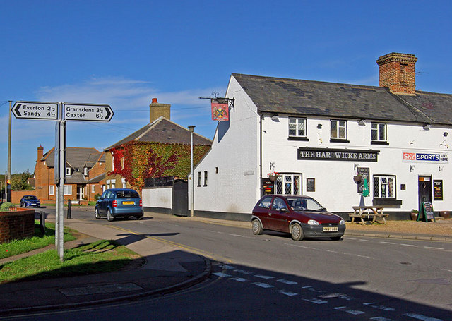
Despite its small size, Green End offers a range of amenities to its residents. These include a local pub, a village hall, and a primary school. There are also several recreational spaces, such as parks and green areas, providing opportunities for outdoor activities and community events.
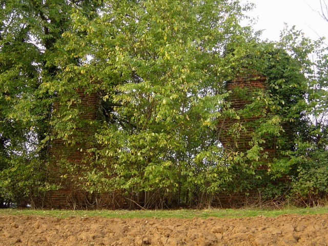
The village enjoys a peaceful and idyllic setting, surrounded by rolling farmland and scenic landscapes. This makes it an ideal location for those seeking a quieter lifestyle while still having access to the amenities and opportunities offered by nearby Cambridge.
If you have any feedback on the listing, please let us know in the comments section below.
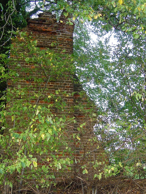
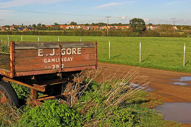
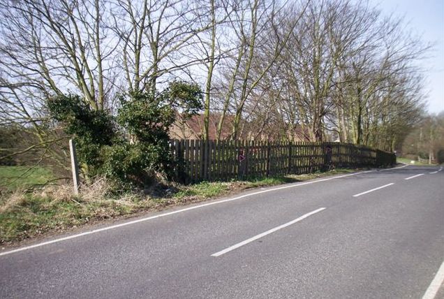
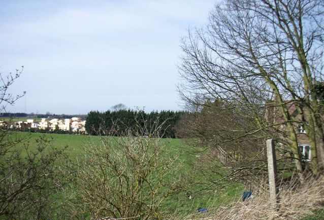
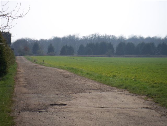
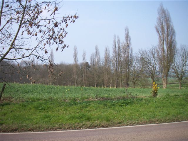
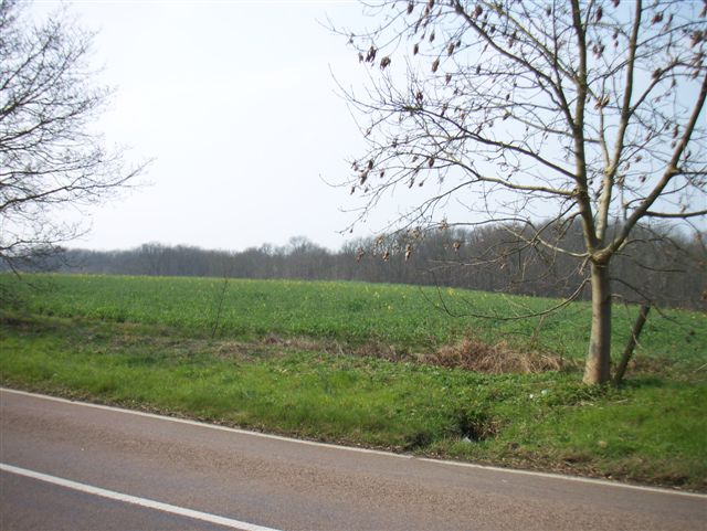
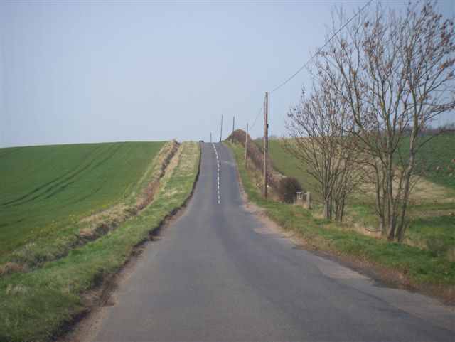
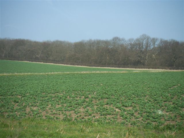
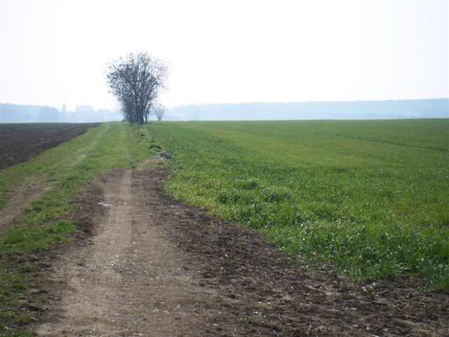
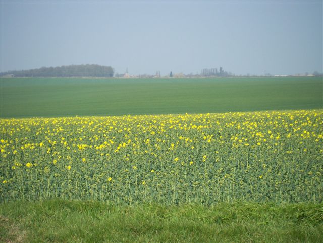
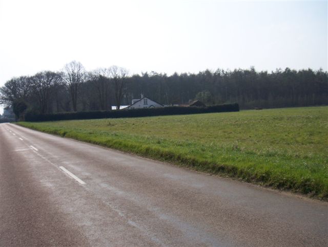
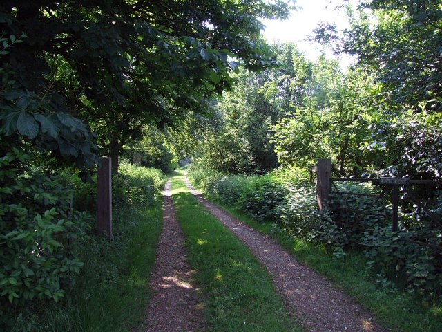
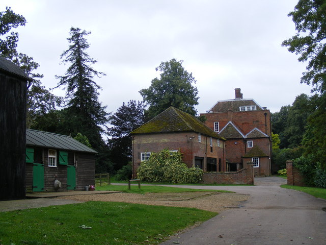
Green End Images
Images are sourced within 2km of 52.157898/-0.196627 or Grid Reference TL2352. Thanks to Geograph Open Source API. All images are credited.
Green End is located at Grid Ref: TL2352 (Lat: 52.157898, Lng: -0.196627)
Administrative County: Cambridgeshire
District: South Cambridgeshire
Police Authority: Cambridgeshire
What 3 Words
///tomorrow.issue.estimates. Near Gamlingay, Cambridgeshire
Related Wikis

Gamlingay
Gamlingay is a village and civil parish in the South Cambridgeshire district of Cambridgeshire, England about 14 miles (23 km) west southwest of the county...
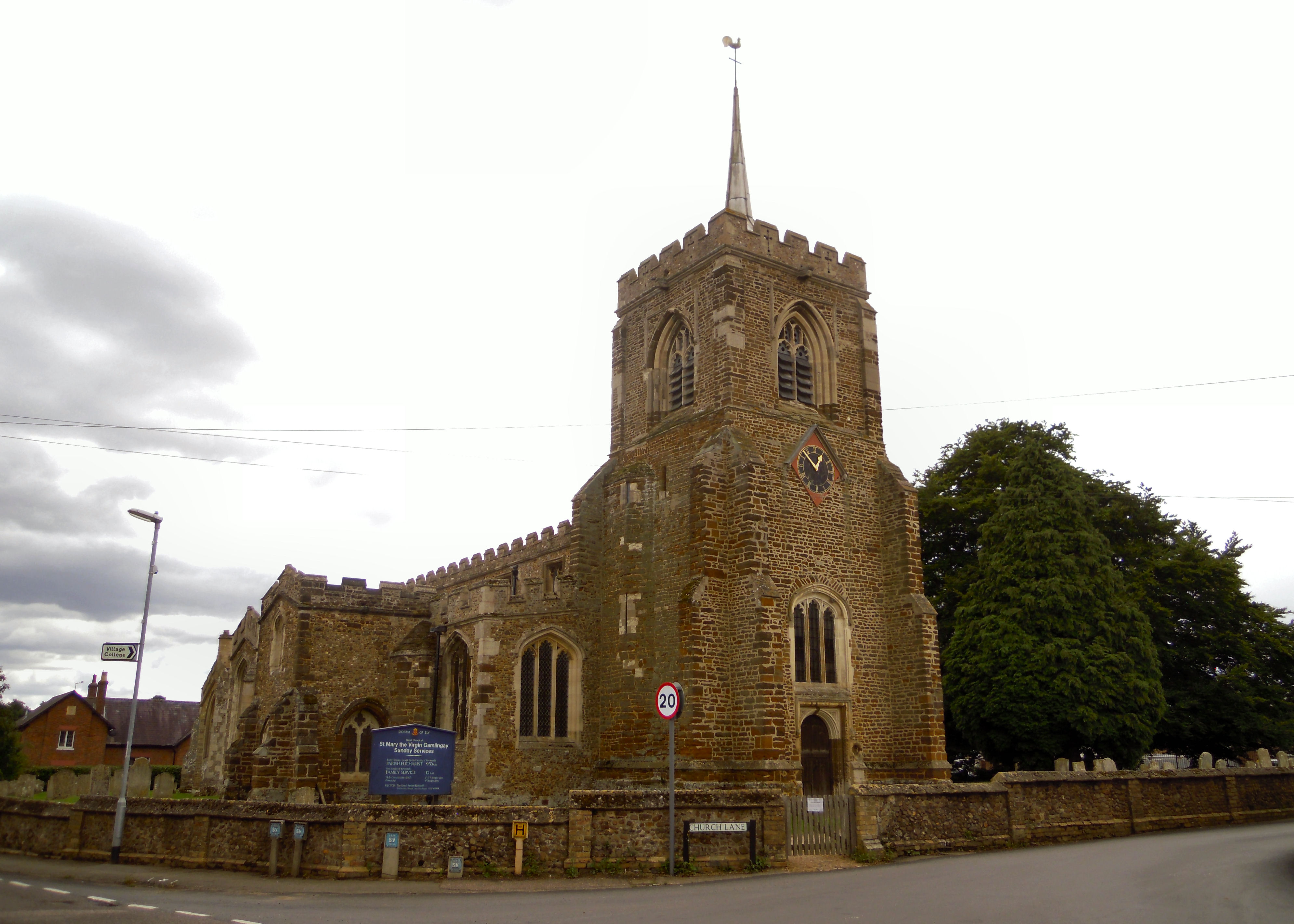
Church of St Mary the Virgin, Gamlingay
The Church of St Mary the Virgin is the parish church for the village of Gamlingay in Cambridgeshire and is dedicated to St Mary the Virgin. Gamlingay...

Gamlingay Village College
Gamlingay Village College was a middle school with academy status located in Gamlingay, Cambridgeshire, England. It was the only middle school in Cambridgeshire...
Gamlingay Cinques
Gamlingay Cinques is a 3.4-hectare (8.4-acre) nature reserve in Gamlingay in Cambridgeshire. It is managed by the Wildlife Trust for Bedfordshire, Cambridgeshire...

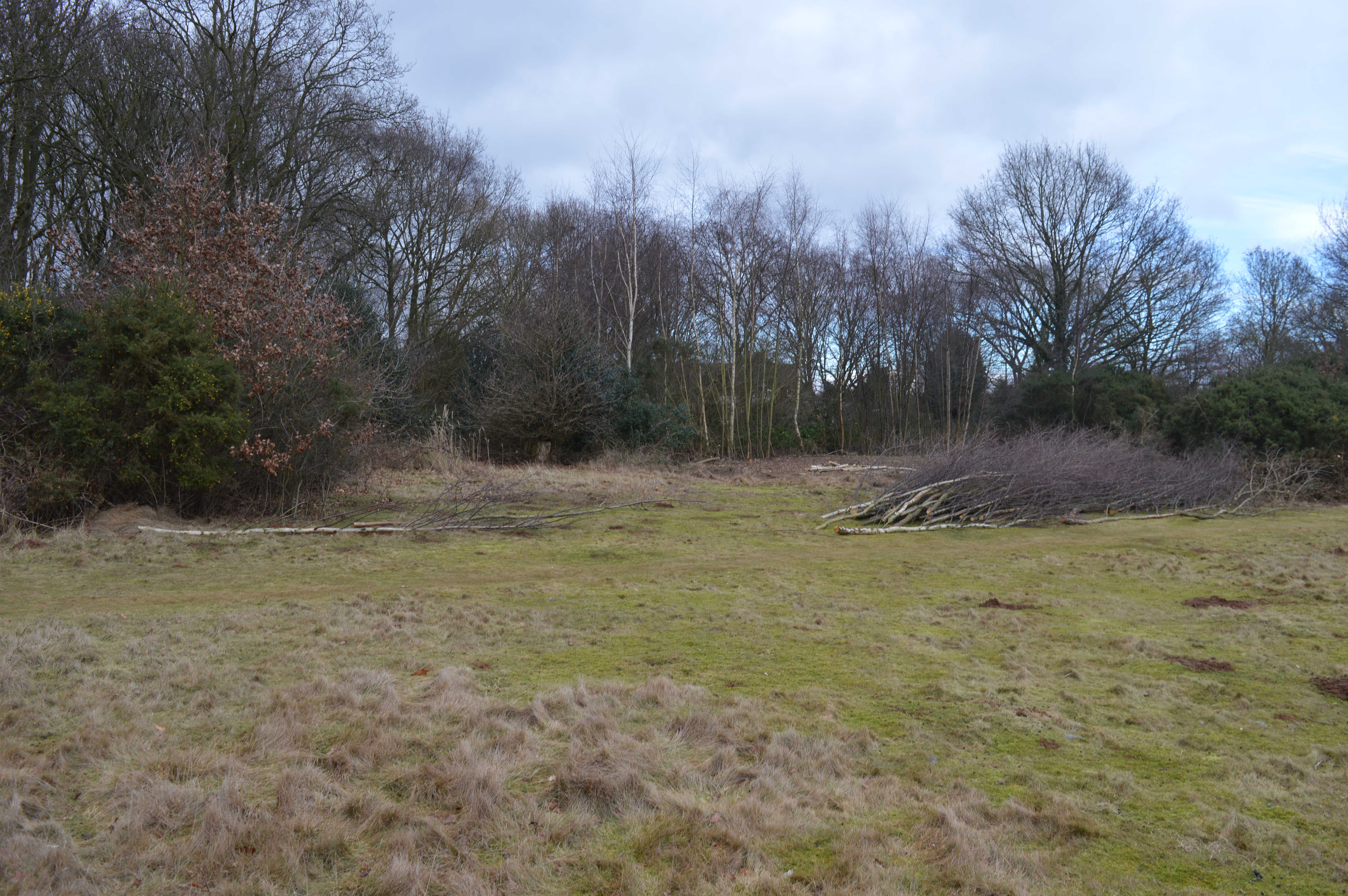
Gamlingay Wood
Gamlingay Wood is a 48.4-hectare (120-acre) biological Site of Special Scientific Interest (SSSI) north of Gamlingay in Cambridgeshire. It is managed by...
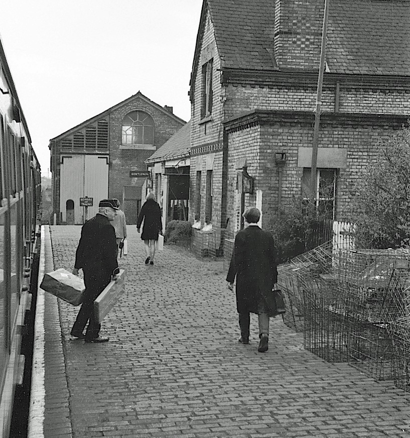
Gamlingay railway station
Gamlingay railway station was a railway station on the Varsity Line which served the small village of Gamlingay in Cambridgeshire, England. The station...
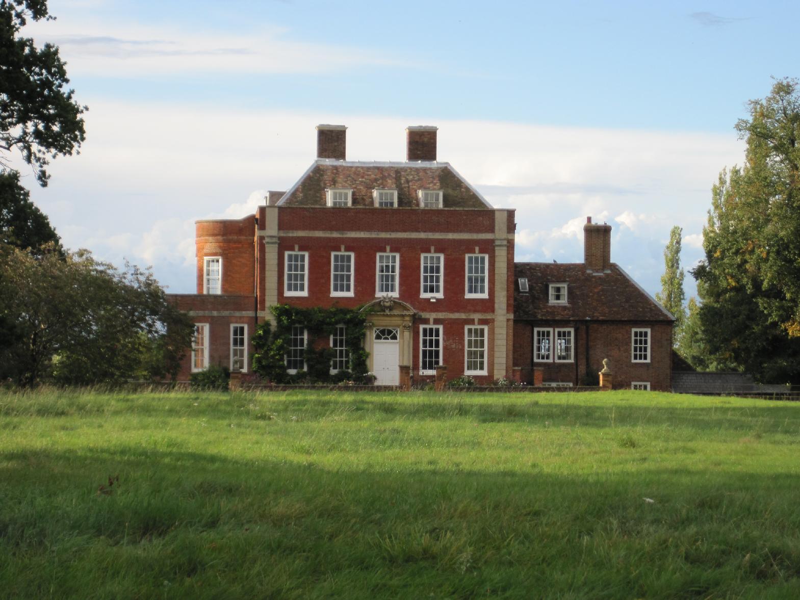
Tetworth
Tetworth is a village and former civil parish, now in the parish of Waresley-cum-Tetworth, in Cambridgeshire, England. Tetworth lies approximately 12 miles...

Weaveley and Sand Woods
Weaveley and Sand Woods is a 62.0-hectare (153-acre) biological Site of Special Scientific Interest north of Gamlingay in Cambridgeshire.This site has...
Nearby Amenities
Located within 500m of 52.157898,-0.196627Have you been to Green End?
Leave your review of Green End below (or comments, questions and feedback).