Green End
Settlement in Huntingdonshire Huntingdonshire
England
Green End
Green End is a small village located in the district of Huntingdonshire, in the county of Cambridgeshire, England. Situated approximately 5 miles south-west of the town of Huntingdon, Green End is nestled in the picturesque countryside, surrounded by rolling hills and farmland.
The village is characterized by its quaint and idyllic atmosphere, with traditional thatched cottages and well-preserved historic buildings. Green End is home to a close-knit community, with a population of around 300 residents.
Despite its small size, Green End offers a range of amenities for its residents. The village boasts a primary school, providing education for children in the local area. Additionally, a village hall serves as a hub for community gatherings and events.
The surrounding natural beauty of Green End provides ample opportunities for outdoor activities. The village is surrounded by scenic walking trails and cycle paths, allowing residents and visitors to explore the picturesque countryside. Nearby, the River Great Ouse offers opportunities for boating and fishing.
Green End benefits from its proximity to Huntingdon, a larger town with a wider range of amenities and services. Huntingdon provides access to shopping centers, supermarkets, restaurants, and leisure facilities.
Overall, Green End offers a peaceful and charming rural lifestyle, with a strong sense of community and access to the natural beauty of the surrounding countryside.
If you have any feedback on the listing, please let us know in the comments section below.
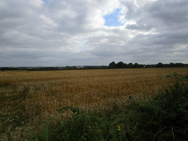
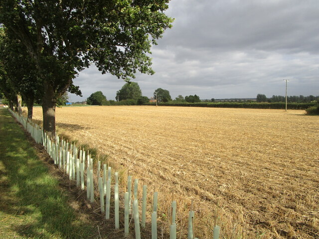
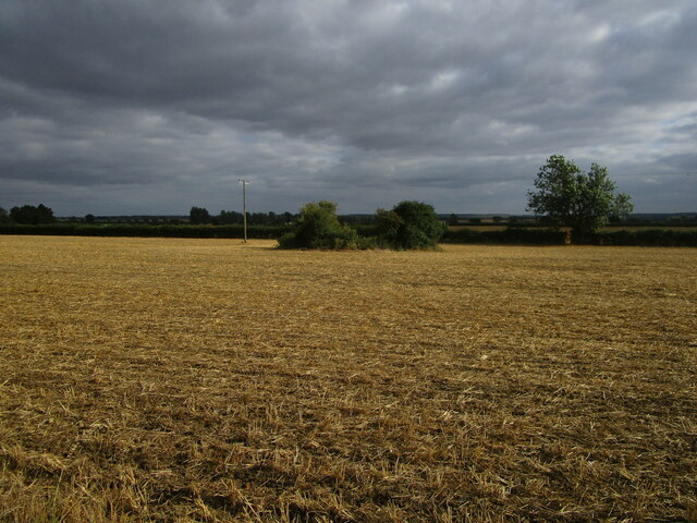
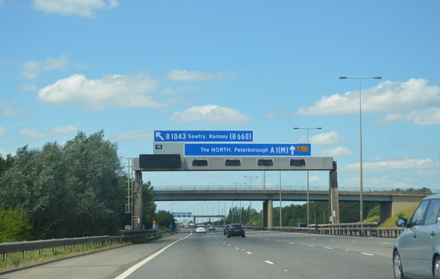
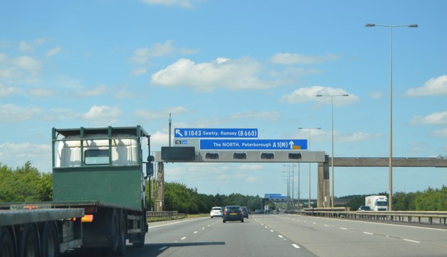
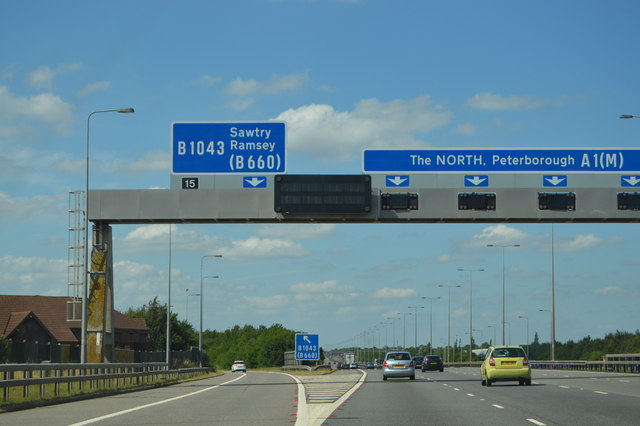
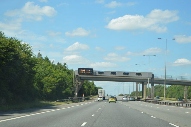
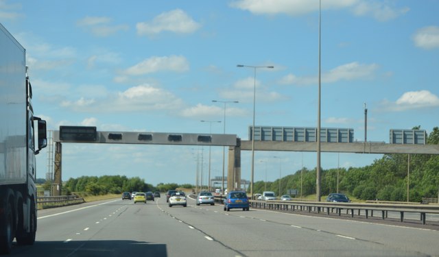
Green End Images
Images are sourced within 2km of 52.431788/-0.27958027 or Grid Reference TL1782. Thanks to Geograph Open Source API. All images are credited.


Green End is located at Grid Ref: TL1782 (Lat: 52.431788, Lng: -0.27958027)
Administrative County: Cambridgeshire
District: Huntingdonshire
Police Authority: Cambridgeshire
What 3 Words
///travels.tango.cones. Near Sawtry, Cambridgeshire
Related Wikis

Sawtry Village Academy
Sawtry Village Academy (formerly Sawtry Community College) is a mixed secondary school and sixth form located in the village of Sawtry, Cambridgeshire...
Sawtry
Sawtry () is a village and civil parish in Cambridgeshire, England. Sawtry lies approximately 8 miles (13 km) north of Huntingdon. Sawtry is situated within...

Church of All Saints, Sawtry
Church of All Saints is a Grade II listed building located in Sawtry, a village in Huntingdonshire, Cambridgeshire, England. It became a listed building...

Aversley Wood
Aversley Wood is a 62.3 hectares (154 acres) biological Site of Special Scientific Interest south-west of Sawtry in Cambridgeshire. It is owned and managed...

Huntingdonshire
Huntingdonshire (; abbreviated Hunts) is a local government district of Cambridgeshire and a historic county of England. The district council is based...

Sawtry Abbey
Sawtry Abbey was a Cistercian abbey located between Sawtry and Woodwalton in Cambridgeshire, England. The abbey was founded in 1147 by Simon II de Senlis...

Conington Castle
Conington Castle was a 16th-century house in Conington, Huntingdonshire, England, built for Sir Robert Cotton. It was demolished in 1956 by the then owner...
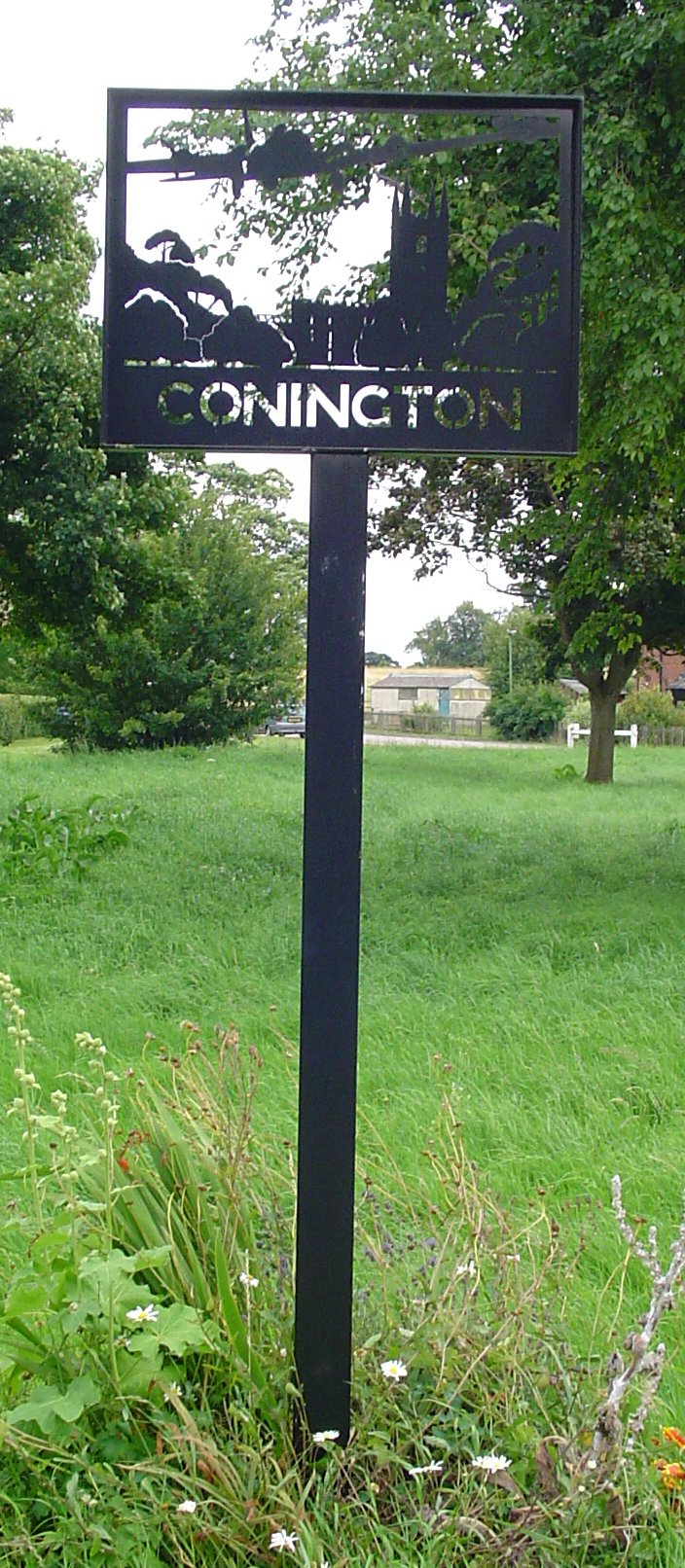
Conington, Huntingdonshire
Conington (Conington All Saints, or "Conington-juxta-Petriburg") is an English village and civil parish in the Cambridgeshire district of Huntingdonshire...
Nearby Amenities
Located within 500m of 52.431788,-0.27958027Have you been to Green End?
Leave your review of Green End below (or comments, questions and feedback).