Green End
Settlement in Bedfordshire
England
Green End
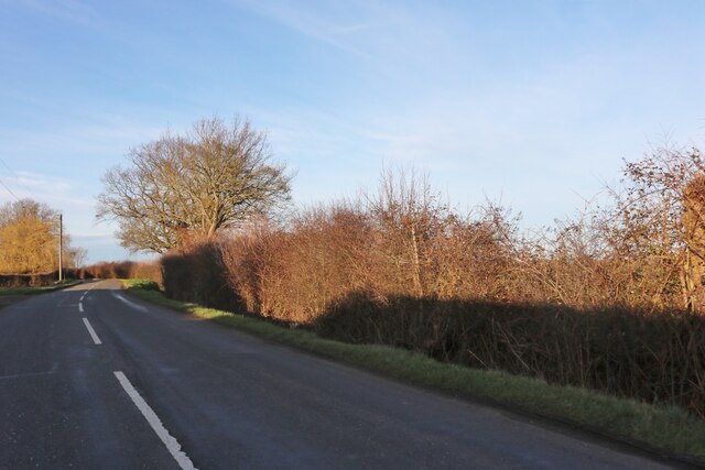
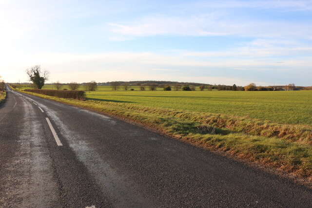
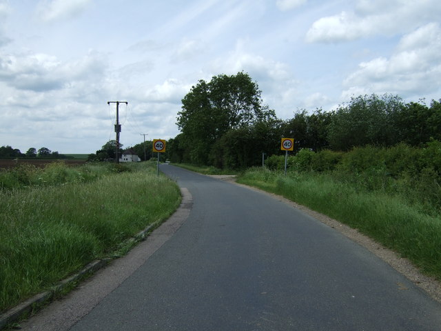
Green End is a small village located in the county of Bedfordshire, England. Situated approximately 5 miles northeast of the town of Bedford, it is a rural community surrounded by picturesque countryside. The village is part of the civil parish of Renhold and falls under the local government district of Bedford.
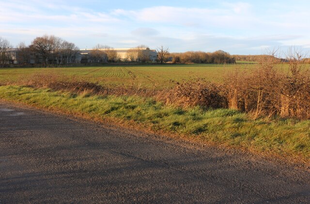
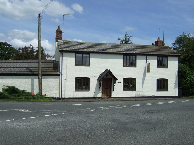
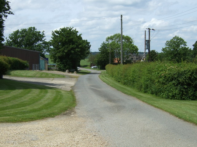
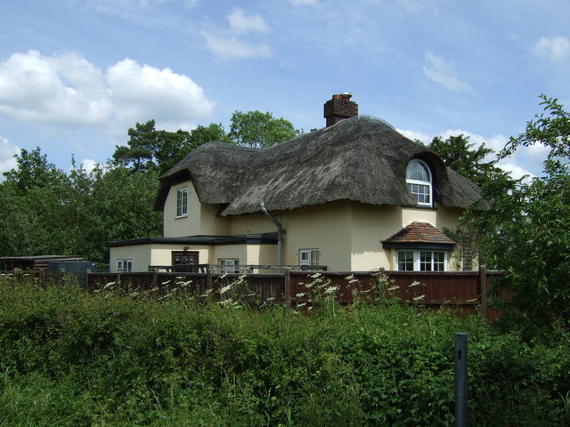
Green End is a quintessential English village, characterized by its charming thatched cottages and quaint village green. The community has a close-knit feel, with a population of around 500 residents. It offers a peaceful and idyllic setting, away from the hustle and bustle of urban life.
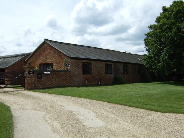
Although small in size, Green End boasts a range of amenities to cater to its residents. These include a village hall, a local pub, and a small convenience store for daily necessities. The village also has a primary school, providing education for the younger population.
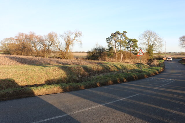
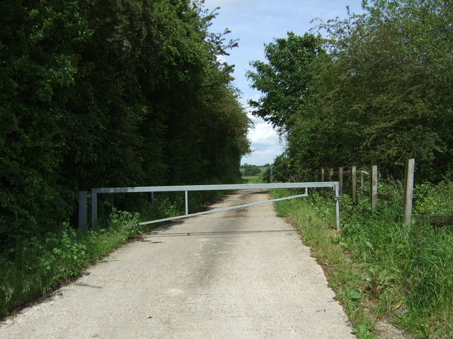
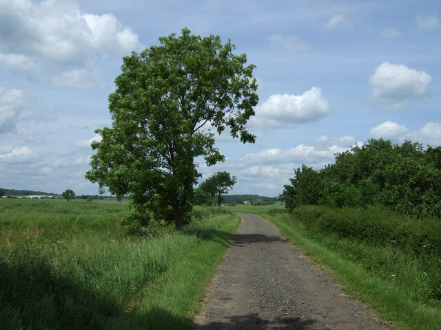
For outdoor enthusiasts, the surrounding countryside offers ample opportunities for leisure activities such as hiking, cycling, and horse riding. The village is also conveniently located near the River Great Ouse, providing options for water sports and fishing.
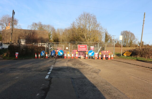
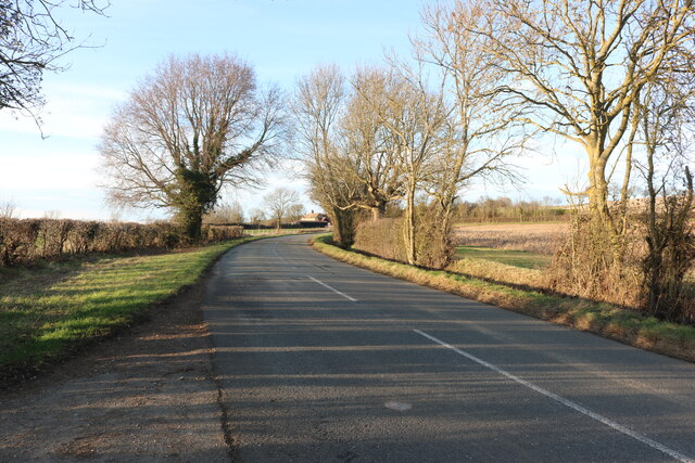
Green End benefits from good transportation links, with easy access to the A421 road, which connects to nearby towns and cities. The village is well-connected to public transport, with regular bus services to Bedford and other surrounding areas.
Overall, Green End is a charming and peaceful village, offering a serene countryside lifestyle while still providing essential amenities and easy access to nearby towns.
If you have any feedback on the listing, please let us know in the comments section below.
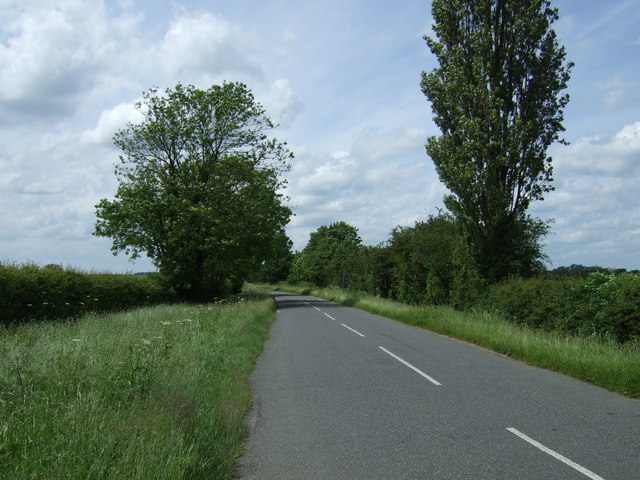
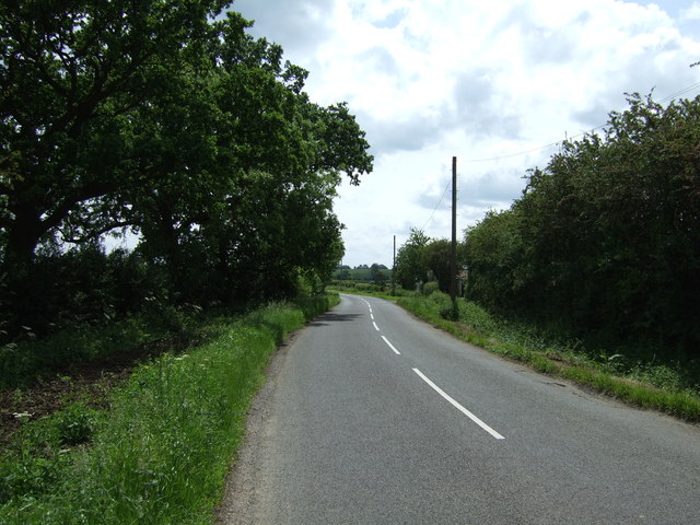
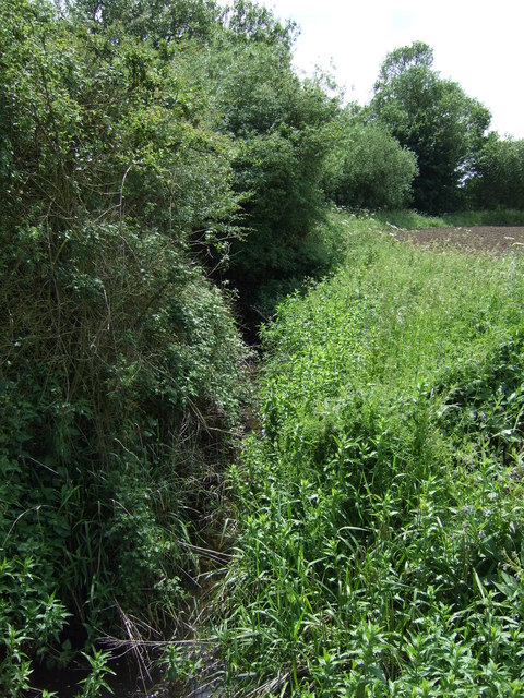
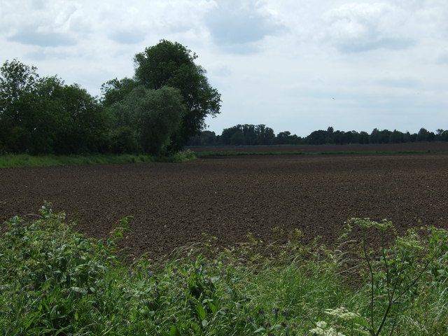
Green End Images
Images are sourced within 2km of 52.271201/-0.41749186 or Grid Reference TL0864. Thanks to Geograph Open Source API. All images are credited.
Green End is located at Grid Ref: TL0864 (Lat: 52.271201, Lng: -0.41749186)
Unitary Authority: Bedford
Police Authority: Bedfordshire
What 3 Words
///skid.gradually.struggle. Near Pertenhall, Bedfordshire
Nearby Locations
Related Wikis

Pertenhall
Pertenhall is a small village and civil parish located in Bedfordshire, close to the borders of Cambridgeshire and Northamptonshire. Its parish council...

Church of St Peter, Pertenhall
Church of St Peter is a Grade I listed church in Pertenhall, Bedfordshire, England. It became a listed building on 13 July 1964. == See also == Grade...

Keysoe
Keysoe is a village and former civil parish, now in the parish of Bolnhurst and Keysoe, in the Bedford district, in the ceremonial county of Bedfordshire...

Church of St Mary the Virgin, Keysoe
Church of St Mary the Virgin is a Grade I listed church in Keysoe, Bedfordshire, England. It became a listed building on 13 July 1964. Features of interest...

Church of St Nicholas, Swineshead, Bedfordshire
Church of St Nicholas is a Grade I listed church in Swineshead, Bedfordshire, England. It became a listed building on 13 July 1964.It is a 14th-century...

Swineshead, Bedfordshire
Swineshead is a village and civil parish in the Borough of Bedford in the county of Bedfordshire, England. == History == The parish of Swineshead is recorded...

Swineshead Wood
Swineshead Wood is a 21.6-hectare (53-acre) biological Site of Special Scientific Interest in Swineshead in Bedfordshire, England. == Overview == It is...

Church of All Saints, Little Staughton
Church of All Saints is a Grade I listed church in Little Staughton, Bedfordshire, England. Originally known as the Church of St Margaret, it was largely...
Nearby Amenities
Located within 500m of 52.271201,-0.41749186Have you been to Green End?
Leave your review of Green End below (or comments, questions and feedback).