Glascote Heath

Settlement in Warwickshire Tamworth

England

Glascote Heath

M42 Motorway - B5000 overbridge
M42 Motorway - B5000 overbridge Credit: Peter Whatley

Glascote Heath is a residential area located in the borough of Tamworth, Warwickshire, England. Situated on the eastern outskirts of Tamworth town center, it is bordered by Dosthill to the south and Glascote to the west.

Primarily a residential district, Glascote Heath offers a range of housing options, including detached and semi-detached houses, as well as some apartment complexes. The area is known for its family-friendly atmosphere and well-maintained properties. Residents benefit from a variety of local amenities, including shops, supermarkets, and healthcare facilities, all within easy reach.

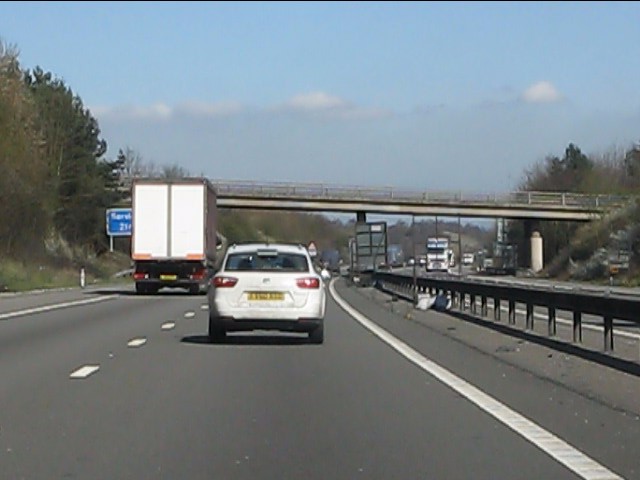
Glascote Heath boasts excellent transport links, with regular bus services connecting it to Tamworth town center and surrounding areas. The nearby A5 and M42 motorways provide convenient access to Birmingham, Leicester, and other major cities in the Midlands. Tamworth railway station, a short distance away, offers direct train services to London, Manchester, and Birmingham.

The area is also renowned for its natural beauty, with Glascote Heath Park serving as a popular recreational space for locals. The park features open green spaces, playgrounds, and sports facilities, providing opportunities for leisure activities and community gatherings. Additionally, the nearby Dosthill Quarry Nature Reserve offers a tranquil escape for nature enthusiasts, with its diverse flora and fauna.

Overall, Glascote Heath is a thriving residential neighborhood that offers a blend of convenient amenities, excellent transport links, and natural attractions, making it an attractive place to live for families and professionals alike.

If you have any feedback on the listing, please let us know in the comments section below.

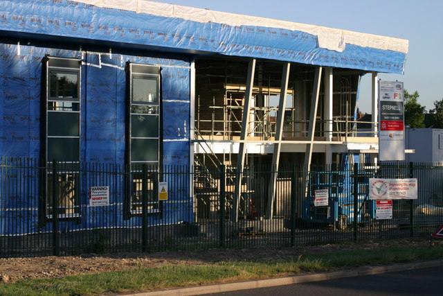
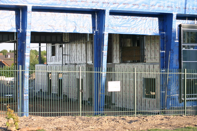
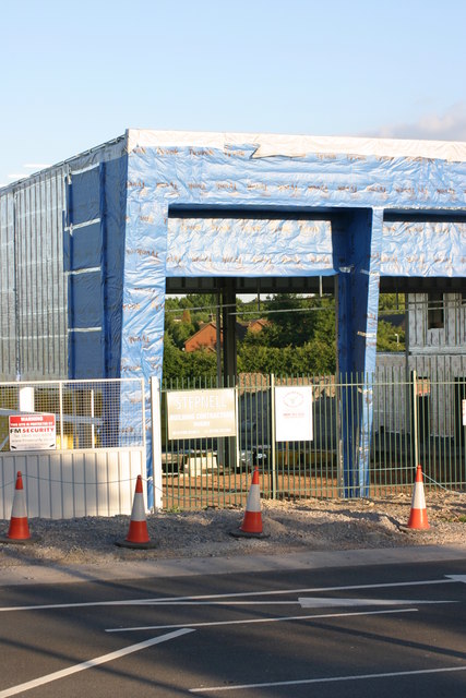
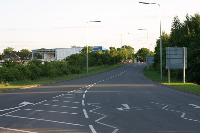
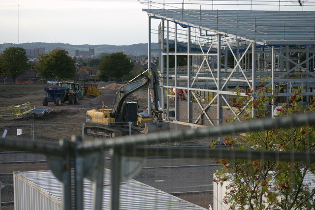
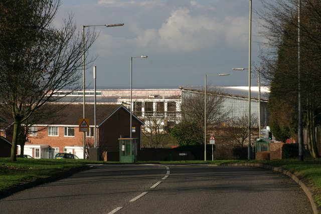
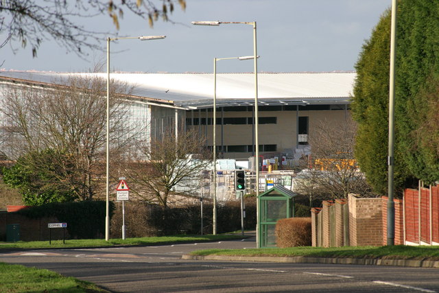
Glascote Heath Images

Images are sourced within 2km of 52.621612/-1.6594421 or Grid Reference SK2302. Thanks to Geograph Open Source API. All images are credited.

M42 Motorway - B5000 overbridge
Tamworth Community Fire Station  (4) This photograph <a href="https://www.geograph.org.uk/photo/2019538">SK2202 : Tamworth Community Fire Station  (1)</a> shows another view of this Fire Station, from virtually the same viewpoint, but from an earlier date in Construction.
Tamworth Community Fire Station (4)
This photograph SK2202 : Tamworth Community Fire Station (1) shows another view of this Fire Station, from virtually the same viewpoint, but from an earlier date in Construction.
Tamworth Community Fire Station  (5) This photograph <a href="https://www.geograph.org.uk/photo/2019550">SK2202 : Tamworth Community Fire Station  (2)</a> shows a view from virtually the same viewpoint, but from an earlier date in construction.
Tamworth Community Fire Station (5)
This photograph SK2202 : Tamworth Community Fire Station (2) shows a view from virtually the same viewpoint, but from an earlier date in construction.
Tamworth Community Fire Station  (6) This photograph <a href="https://www.geograph.org.uk/photo/2424592">SK2202 : Tamworth Community Fire Station  (4)</a> shows another view of this Fire Station.
Tamworth Community Fire Station (6)
This photograph SK2202 : Tamworth Community Fire Station (4) shows another view of this Fire Station.
Tamworth Community Fire Station  (7) This photograph <a href="https://www.geograph.org.uk/photo/2424608">SK2202 : Tamworth Community Fire Station  (5)</a> shows another view of the above Fire station.
Tamworth Community Fire Station (7)
This photograph SK2202 : Tamworth Community Fire Station (5) shows another view of the above Fire station.
Tamworth Community Fire Station  (8) This photograph <a href="https://www.geograph.org.uk/photo/2424618">SK2202 : Tamworth Community Fire Station  (6)</a> shows another view of this Fire Station.
Tamworth Community Fire Station (8)
This photograph SK2202 : Tamworth Community Fire Station (6) shows another view of this Fire Station.
Tamworth Community Fire Station  (9) This photograph <a href="https://www.geograph.org.uk/photo/2424630">SK2202 : Tamworth Community Fire Station  (7)</a> shows another view of this Fire station.
Tamworth Community Fire Station (9)
This photograph SK2202 : Tamworth Community Fire Station (7) shows another view of this Fire station.
Tamworth Community Fire Station  (10) The above photograph shows this Fire station in the distance to the left handside of the photograph. This photograph <a href="https://www.geograph.org.uk/photo/2424608">SK2202 : Tamworth Community Fire Station  (5)</a> shows another view of this Fire station.
Tamworth Community Fire Station (10)
The above photograph shows this Fire station in the distance to the left handside of the photograph. This photograph SK2202 : Tamworth Community Fire Station (5) shows another view of this Fire station.
Tamworth Community Fire Station  (11) This photograph <a href="https://www.geograph.org.uk/photo/2424608">SK2202 : Tamworth Community Fire Station  (5)</a> shows another view of this Fire station while under construction.
Tamworth Community Fire Station (11)
This photograph SK2202 : Tamworth Community Fire Station (5) shows another view of this Fire station while under construction.
Silver Link Road, Tamworth
Landau Forte Academy Amington  (1) The above photograph shows the beginning of the construction of the Landau Forte Academy, Amington, as will the other Landau Forte Academy Amington photographs posted after this one.
Landau Forte Academy Amington (1)
The above photograph shows the beginning of the construction of the Landau Forte Academy, Amington, as will the other Landau Forte Academy Amington photographs posted after this one.
Landau Forte Academy, Amington  (2)
Landau Forte Academy, Amington (2)
Landau Forte Academy , Amington  (3) This photographs shows a view of the girder structure of the Academy backlit by the evening sun. This photograph <a href="https://www.geograph.org.uk/photo/2682351">SK2203 : Landau Forte Academy Amington  (1)</a> shows another view of Academy construction site.
Landau Forte Academy , Amington (3)
This photographs shows a view of the girder structure of the Academy backlit by the evening sun. This photograph SK2203 : Landau Forte Academy Amington (1) shows another view of Academy construction site.
Landau Forte Academy, Amington  (4) This photograph <a href="https://www.geograph.org.uk/photo/2682351">SK2203 : Landau Forte Academy Amington  (1)</a> shows another view of the above building site.
Landau Forte Academy, Amington (4)
This photograph SK2203 : Landau Forte Academy Amington (1) shows another view of the above building site.
Landau Forte Academy, Amington  (5) The above photograph shows part of the new academy's girder structure backlit by the evening sun. This photograph <a href="https://www.geograph.org.uk/photo/2682382">SK2303 : Landau Forte Academy, Amington  (2)</a> shows another view of this academy under construction.
Landau Forte Academy, Amington (5)
The above photograph shows part of the new academy's girder structure backlit by the evening sun. This photograph SK2303 : Landau Forte Academy, Amington (2) shows another view of this academy under construction.
Landau Forte Academy, Amington  (6) This photograph <a href="https://www.geograph.org.uk/photo/2687637">SK2303 : Landau Forte Academy, Amington  (4)</a> shows another view of the above Academy construction site.
Landau Forte Academy, Amington (6)
This photograph SK2303 : Landau Forte Academy, Amington (4) shows another view of the above Academy construction site.
Landau Forte Academy, Amington  (7) The above photograph shows a view of the Academy under construction from a position along the Woodlands Road. This photograph <a href="https://www.geograph.org.uk/photo/2687648">SK2303 : Landau Forte Academy, Amington  (5)</a> shows another view of this Academy under under construction.
Landau Forte Academy, Amington (7)
The above photograph shows a view of the Academy under construction from a position along the Woodlands Road. This photograph SK2303 : Landau Forte Academy, Amington (5) shows another view of this Academy under under construction.
Landau Forte Academy, Amington  (8) This photograph <a href="https://www.geograph.org.uk/photo/2687660">SK2303 : Landau Forte Academy, Amington  (6)</a> shows another view of Landau Forte Academy, Amington. 

Keywords: Educational, Academy
Landau Forte Academy, Amington (8)
This photograph SK2303 : Landau Forte Academy, Amington (6) shows another view of Landau Forte Academy, Amington. Keywords: Educational, Academy
Show me another place!

Glascote Heath is located at Grid Ref: SK2302 (Lat: 52.621612, Lng: -1.6594421)

Administrative County: Staffordshire

District: Tamworth

Police Authority: Staffordshire

What 3 Words

///moved.people.copies. Near Tamworth, Staffordshire

Nearby Locations

Glascote Heath

Related Wikis

Glascote

Glascote is an area of Tamworth, in the Tamworth district, in Staffordshire, England. The area centres on the Glascote Road, and is mainly residential...

Stonydelph

Stonydelph is a neighbourhood about 2 miles (3 km) south east of the centre of Tamworth, Staffordshire. A spelling of "Stoneydelph" is sometimes used but...

Tamworth Enterprise College

Tamworth Enterprise College (formerly Belgrave High School) is a coeducational secondary school with academy status in Tamworth, Staffordshire, England...

Amington

Amington is a suburban village, parish and ward, in Staffordshire, England. Formerly a distinct village, it is now part of the Tamworth borough, with no...

Related Videos

Peaceful Walk through Tameside Nature Reserve, UK Walking Tour, English Countryside in 4K.

Peaceful Walk through Tameside Nature Reserve, UK Walking Tour, English Countryside in 4K. A quiet and peaceful walk ...

Early morning reflections #shorts #nature #morningwalks #travel

Early morning reflections on Borrowpit Lake in Tamworth, Staffordshire #shorts #nature #morningwalks #travel Filmed on my ...

Travel with Collins Delwita Beautiful placess In UK එන්ගලන්තයේ ලස්සන තැන්#travelwithwife#travelsri

This is most beautiful place in UK where I live. There are plenty to see and lots of entertainment around the area. I manage to ...

Nearby Amenities

Located within 500m of 52.621612,-1.6594421
Mini Roundabout
Direction: clockwise
Lat/Long: 52.620655/-1.6555588
Mini Roundabout
Lat/Long: 52.6233135/-1.6616407
Bus Stop
Ivatt
Bus: yes
Naptan AtcoCode: 3800C901800
Naptan Bearing: N
Naptan CommonName: Ivatt
Naptan Indicator: Adj
Naptan Landmark: Ivatt (W)
Naptan PlusbusZoneRef: TAMWORTH
Naptan Street: Silverlink Rd
Naptan Verified: no
Public Transport: platform
Source: naptan_import
Lat/Long: 52.6206667/-1.6666768
Bus Stop
Ivatt
Bus: yes
Naptan AtcoCode: 3800C901801
Naptan Bearing: S
Naptan CommonName: Ivatt
Naptan Indicator: Adj
Naptan Landmark: Ivatt (E)
Naptan PlusbusZoneRef: TAMWORTH
Naptan Street: Silverlink Rd
Naptan Verified: no
Public Transport: platform
Source: naptan_import
Lat/Long: 52.6209274/-1.6666896
Bus Stop
Sacred Heart Church
Bus: yes
Naptan AtcoCode: 3800C902000
Naptan Bearing: N
Naptan CommonName: Sacred Heart Church
Naptan Indicator: Opp
Naptan Landmark: Sacred Heart Ch
Naptan PlusbusZoneRef: TAMWORTH
Naptan Street: Silverlink Rd
Naptan Verified: no
Public Transport: platform
Source: naptan_import
Lat/Long: 52.624125/-1.6624845
Bus Stop
Sacred Heart Church
Bus: yes
Naptan AtcoCode: 3800C902001
Naptan Bearing: S
Naptan CommonName: Sacred Heart Church
Naptan Indicator: Adj
Naptan Landmark: Sacred Heart Church
Naptan PlusbusZoneRef: TAMWORTH
Naptan Street: Silverlink Rd
Naptan Verified: no
Public Transport: platform
Source: naptan_import
Lat/Long: 52.6243218/-1.6621433
Bus Stop
Farringdon
Bus: yes
Naptan AtcoCode: 3800C909601
Naptan Bearing: S
Naptan CommonName: Farringdon
Naptan Indicator: Adj
Naptan Landmark: Farringdon
Naptan PlusbusZoneRef: TAMWORTH
Naptan Street: Silverlink Rd
Naptan Verified: no
Public Transport: platform
Source: naptan_import
Lat/Long: 52.6184174/-1.663866
Bus Stop
Torc High School
Bus: yes
Naptan AtcoCode: 3800C909602
Naptan Bearing: NW
Naptan CommonName: Torc High School
Naptan Indicator: Adj
Naptan Landmark: Torc High School
Naptan PlusbusZoneRef: TAMWORTH
Naptan Street: Silverlinks Rd
Naptan Verified: no
Public Transport: platform
Source: naptan_import
Lat/Long: 52.6178432/-1.6632862
Bus Stop
Dunedin
Bus: yes
Naptan AtcoCode: 3800C909701
Naptan Bearing: N
Naptan CommonName: Dunedin
Naptan Indicator: Adj
Naptan Landmark: Dunedin
Naptan PlusbusZoneRef: TAMWORTH
Naptan Street: Silverlinks Road
Naptan Verified: no
Public Transport: platform
Source: naptan_import
Lat/Long: 52.6181388/-1.6597537
Bus Stop
Deeley
Bus: yes
Naptan AtcoCode: 3800C909702
Naptan Bearing: S
Naptan CommonName: Deeley
Naptan Indicator: Adj
Naptan Landmark: Deeley
Naptan PlusbusZoneRef: TAMWORTH
Naptan Street: Silverlinks Rd
Naptan Verified: no
Public Transport: platform
Source: naptan_import
Lat/Long: 52.618389/-1.65922
Bus Stop
Chapelon
Bus: yes
Naptan AtcoCode: 3800C910001
Naptan Bearing: SE
Naptan CommonName: Chapelon
Naptan Indicator: Opp
Naptan Landmark: Chapelon
Naptan PlusbusZoneRef: TAMWORTH
Naptan Street: Silverlinks Rd
Naptan Verified: no
Public Transport: platform
Source: naptan_import
Lat/Long: 52.6212377/-1.6588433
Bus Stop
Chapelon
Bus: yes
Naptan AtcoCode: 3800C910002
Naptan Bearing: NW
Naptan CommonName: Chapelon
Naptan Indicator: Adj
Naptan Landmark: Chapelon
Naptan PlusbusZoneRef: TAMWORTH
Naptan Street: Silverlink Rd
Naptan Verified: no
Public Transport: platform
Source: naptan_import
Lat/Long: 52.6211663/-1.6590211
Bus Stop
Sacred Heart
Bus: yes
Naptan AtcoCode: 3800C913201
Naptan Bearing: W
Naptan CommonName: Sacred Heart
Naptan Indicator: Adj
Naptan Landmark: Sacred Heart
Naptan PlusbusZoneRef: TAMWORTH
Naptan Street: Glascote Rd
Naptan Verified: no
Public Transport: platform
Source: naptan_import
Lat/Long: 52.6245588/-1.6601471
Bus Stop
Sacred Heart
Bus: yes
Naptan AtcoCode: 3800C913202
Naptan Bearing: E
Naptan CommonName: Sacred Heart
Naptan Indicator: Adj
Naptan Landmark: Sacred Heart
Naptan PlusbusZoneRef: TAMWORTH
Naptan Street: Glascote Rd
Naptan Verified: no
Public Transport: platform
Source: naptan_import
Lat/Long: 52.6245363/-1.6585813
Bus Stop
Mercian Way
Bus: yes
Naptan AtcoCode: 3800C913301
Naptan Bearing: SE
Naptan CommonName: Mercian Way
Naptan Indicator: Adj
Naptan Landmark: Mercian Way
Naptan PlusbusZoneRef: TAMWORTH
Naptan Street: Glascote Rd
Naptan Verified: no
Public Transport: platform
Source: naptan_import
Lat/Long: 52.6238507/-1.6546571
Bus Stop
Beyer Close
Bus: yes
Naptan AtcoCode: 3800C913302
Naptan Bearing: W
Naptan CommonName: Beyer Close
Naptan Indicator: Adj
Naptan Landmark: Beyer Close
Naptan PlusbusZoneRef: TAMWORTH
Naptan Street: Glascote Rd
Naptan Verified: no
Public Transport: platform
Source: naptan_import
Lat/Long: 52.623608/-1.6546738
Bus Stop
Caladonian
Bus: yes
Naptan AtcoCode: 3800C921001
Naptan Bearing: N
Naptan CommonName: Caladonian
Naptan Indicator: Adj
Naptan Landmark: Caladonian
Naptan PlusbusZoneRef: TAMWORTH
Naptan Street: Silverlink Rd
Naptan Verified: no
Public Transport: platform
Source: naptan_import
Lat/Long: 52.6227725/-1.6610768
Bus Stop
Glascote Heath School
Bus: yes
Naptan AtcoCode: 3800C921002
Naptan Bearing: S
Naptan CommonName: Glascote Heath School
Naptan Indicator: Adj
Naptan Landmark: Glascote Heath School
Naptan PlusbusZoneRef: TAMWORTH
Naptan Street: Silver link Rd
Naptan Verified: no
Public Transport: platform
Source: naptan_import
Lat/Long: 52.6228439/-1.6609137
Spar
Brand: Spar
Brand Wikidata: Q610492
Brand Wikipedia: en:SPAR (retailer)
Shop: supermarket
Lat/Long: 52.6221626/-1.6640431
Pub
St George
Addr Postcode: B77 2ED
Addr Street: Caledonian
Lat/Long: 52.6222388/-1.6643718
Crossing
Crossing: traffic_signals
Crossing Ref: pelican
Kerb: lowered
Tactile Paving: yes
Lat/Long: 52.6254782/-1.6629317
Crossing
Crossing: zebra
Lat/Long: 52.6231426/-1.6614072
Glascote Heath
Is In Town: Tamworth
Place: suburb
Lat/Long: 52.6236611/-1.6623076
Barrier: cycle_barrier
Lat/Long: 52.6252222/-1.6563751
Post Office
Silver Link Post Office
Addr Postcode: B77 2ED
Brand: Post Office
Brand Wikidata: Q1783168
Fixme: verify by survey
Fixme Addr 1: 66 Caledonian
Fixme Addr 2: Glascote Heath
Fixme Addr City: Tamworth
Opening Hours: Mo-Fr 06:30-18:30; Sa 08:00-16:00; Su 09:00-13:00
Ref Pol Id: 9343
Source: pol_branch_list_2018-02
Website: https://www.postoffice.co.uk/branch-finder/2402017/silver-link
Lat/Long: 52.62197/-1.66381
Generator Method: photovoltaic
Generator Output Electricity: yes
Generator Source: solar
Generator Type: solar_photovoltaic_panel
Location: roof
Power: generator
Lat/Long: 52.6198197/-1.6629213
Generator Method: photovoltaic
Generator Output Electricity: yes
Generator Source: solar
Generator Type: solar_photovoltaic_panel
Location: roof
Power: generator
Lat/Long: 52.6206567/-1.6659415
Generator Method: photovoltaic
Generator Output Electricity: yes
Generator Source: solar
Generator Type: solar_photovoltaic_panel
Location: roof
Power: generator
Lat/Long: 52.6232896/-1.6641632
Generator Method: photovoltaic
Generator Output Electricity: yes
Generator Source: solar
Generator Type: solar_photovoltaic_panel
Location: roof
Power: generator
Lat/Long: 52.6222313/-1.6608211
Generator Method: photovoltaic
Generator Output Electricity: yes
Generator Source: solar
Generator Type: solar_photovoltaic_panel
Location: roof
Power: generator
Lat/Long: 52.6221043/-1.6566423
Generator Method: photovoltaic
Generator Output Electricity: yes
Generator Source: solar
Generator Type: solar_photovoltaic_panel
Location: roof
Power: generator
Lat/Long: 52.6213349/-1.655222
Generator Method: photovoltaic
Generator Output Electricity: yes
Generator Source: solar
Generator Type: solar_photovoltaic_panel
Location: roof
Power: generator
Lat/Long: 52.6212844/-1.6552985
Generator Method: photovoltaic
Generator Output Electricity: yes
Generator Source: solar
Generator Type: solar_photovoltaic_panel
Location: roof
Power: generator
Lat/Long: 52.6203603/-1.6560227
Generator Method: photovoltaic
Generator Output Electricity: yes
Generator Source: solar
Generator Type: solar_photovoltaic_panel
Location: roof
Power: generator
Lat/Long: 52.6194908/-1.6568166
Generator Method: photovoltaic
Generator Output Electricity: yes
Generator Source: solar
Generator Type: solar_photovoltaic_panel
Location: roof
Power: generator
Lat/Long: 52.6190243/-1.6573651
Generator Method: photovoltaic
Generator Output Electricity: yes
Generator Source: solar
Generator Type: solar_photovoltaic_panel
Location: roof
Power: generator
Lat/Long: 52.6183542/-1.6581953
Generator Method: photovoltaic
Generator Output Electricity: yes
Generator Source: solar
Generator Type: solar_photovoltaic_panel
Location: roof
Power: generator
Lat/Long: 52.6176368/-1.658839
Generator Method: photovoltaic
Generator Output Electricity: yes
Generator Source: solar
Generator Type: solar_photovoltaic_panel
Location: roof
Power: generator
Lat/Long: 52.6176108/-1.6587612
Generator Method: photovoltaic
Generator Output Electricity: yes
Generator Source: solar
Generator Type: solar_photovoltaic_panel
Location: roof
Power: generator
Lat/Long: 52.6172639/-1.6596705
Generator Method: photovoltaic
Generator Output Electricity: yes
Generator Source: solar
Generator Type: solar_photovoltaic_panel
Location: roof
Power: generator
Lat/Long: 52.6173315/-1.6599843
Generator Method: photovoltaic
Generator Output Electricity: yes
Generator Source: solar
Generator Type: solar_photovoltaic_panel
Location: roof
Power: generator
Lat/Long: 52.6173437/-1.6602485
Generator Method: photovoltaic
Generator Output Electricity: yes
Generator Source: solar
Generator Type: solar_photovoltaic_panel
Location: roof
Power: generator
Lat/Long: 52.6172338/-1.6603504
Generator Method: photovoltaic
Generator Output Electricity: yes
Generator Source: solar
Generator Type: solar_photovoltaic_panel
Location: roof
Power: generator
Lat/Long: 52.6244278/-1.6638413
Generator Method: photovoltaic
Generator Output Electricity: yes
Generator Source: solar
Generator Type: solar_photovoltaic_panel
Location: roof
Power: generator
Lat/Long: 52.6255952/-1.6583347
Generator Method: photovoltaic
Generator Output Electricity: yes
Generator Source: solar
Generator Type: solar_photovoltaic_panel
Location: roof
Power: generator
Lat/Long: 52.6254503/-1.6578144
Generator Method: photovoltaic
Generator Output Electricity: yes
Generator Source: solar
Generator Type: solar_photovoltaic_panel
Location: roof
Power: generator
Lat/Long: 52.62539/-1.6578653
Generator Method: photovoltaic
Generator Output Electricity: yes
Generator Source: solar
Generator Type: solar_photovoltaic_panel
Location: roof
Power: generator
Lat/Long: 52.6249797/-1.6595149
Generator Method: photovoltaic
Generator Output Electricity: yes
Generator Source: solar
Generator Type: solar_photovoltaic_panel
Location: roof
Power: generator
Lat/Long: 52.6249097/-1.6590267
Generator Method: photovoltaic
Generator Output Electricity: yes
Generator Source: solar
Generator Type: solar_photovoltaic_panel
Location: roof
Power: generator
Lat/Long: 52.6251377/-1.6589409
Generator Method: photovoltaic
Generator Output Electricity: yes
Generator Source: solar
Generator Type: solar_photovoltaic_panel
Location: roof
Power: generator
Lat/Long: 52.6214432/-1.6578117
Generator Method: photovoltaic
Generator Output Electricity: yes
Generator Source: solar
Generator Type: solar_photovoltaic_panel
Location: roof
Power: generator
Lat/Long: 52.6186269/-1.6580035
Generator Method: photovoltaic
Generator Output Electricity: yes
Generator Source: solar
Generator Type: solar_photovoltaic_panel
Location: roof
Power: generator
Lat/Long: 52.6212502/-1.6568756
Generator Method: photovoltaic
Generator Output Electricity: yes
Generator Source: solar
Generator Type: solar_photovoltaic_panel
Location: roof
Power: generator
Lat/Long: 52.6212999/-1.6627389
Generator Method: photovoltaic
Generator Output Electricity: yes
Generator Source: solar
Generator Type: solar_photovoltaic_panel
Location: roof
Power: generator
Lat/Long: 52.6212494/-1.6626638
Generator Method: photovoltaic
Generator Output Electricity: yes
Generator Source: solar
Generator Type: solar_photovoltaic_panel
Location: roof
Power: generator
Lat/Long: 52.6199956/-1.6614676
Generator Method: photovoltaic
Generator Output Electricity: yes
Generator Source: solar
Generator Type: solar_photovoltaic_panel
Location: roof
Power: generator
Lat/Long: 52.6196797/-1.6614836
Generator Method: photovoltaic
Generator Output Electricity: yes
Generator Source: solar
Generator Type: solar_photovoltaic_panel
Location: roof
Power: generator
Lat/Long: 52.6196194/-1.6614354
Generator Method: photovoltaic
Generator Output Electricity: yes
Generator Source: solar
Generator Type: solar_photovoltaic_panel
Location: roof
Power: generator
Lat/Long: 52.6188476/-1.6609687
Generator Method: photovoltaic
Generator Output Electricity: yes
Generator Source: solar
Generator Type: solar_photovoltaic_panel
Location: roof
Power: generator
Lat/Long: 52.6182972/-1.6617787
Waste Basket
Waste: dog_excrement
Lat/Long: 52.625385/-1.6574555
Waste Basket
Lat/Long: 52.624021/-1.6579203
Waste Basket
Lat/Long: 52.6228918/-1.6538203
Waste Basket
Lat/Long: 52.6193989/-1.6609256
Waste Basket
Lat/Long: 52.6204296/-1.6617707
Defibrillator
Emergency: defibrillator
Indoor: no
Ref GB The Circuit: 962625D6-2CDF-4087-B05B-DAC83665B3FE
Lat/Long: 52.6212097/-1.6634344
Waste Basket
Lat/Long: 52.6219087/-1.6638004
Post Box
Lat/Long: 52.6219689/-1.6638792
Waste Basket
Lat/Long: 52.6220828/-1.6640163
Waste Basket
Lat/Long: 52.6248168/-1.6642539
Waste Basket
Lat/Long: 52.6218373/-1.664596
Waste Basket
Lat/Long: 52.6184419/-1.6638892
Waste Basket
Lat/Long: 52.6210068/-1.6667744
Waste Basket
Waste: dog_excrement
Lat/Long: 52.6234457/-1.6598139
Waste Basket
Lat/Long: 52.6232904/-1.6599926
Waste Basket
Lat/Long: 52.6216656/-1.6591821
Waste Basket
Lat/Long: 52.6190566/-1.6570012
The data included in this document is from www.openstreetmap.org. The data is made available under ODbL.

Have you been to Glascote Heath?

Leave your review of Glascote Heath below (or comments, questions and feedback).