Ghyllgrove
Settlement in Essex Basildon
England
Ghyllgrove
Ghyllgrove is a suburban area located in the southern part of Basildon, Essex, England. It is situated approximately 30 miles east of central London. The area is primarily a residential neighborhood, known for its quiet and peaceful atmosphere, making it an ideal place for families and professionals seeking a tranquil living environment.
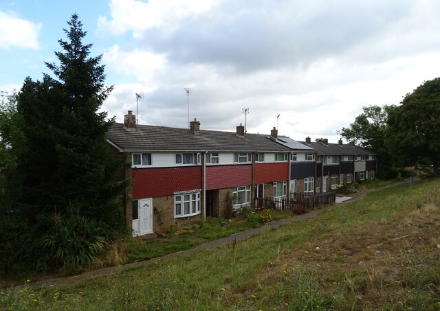
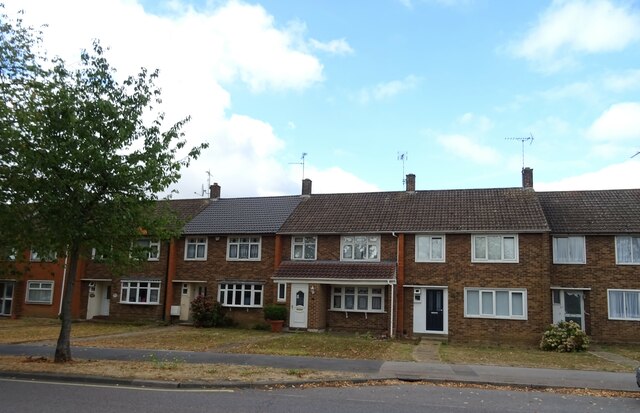
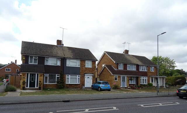
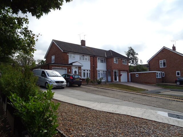
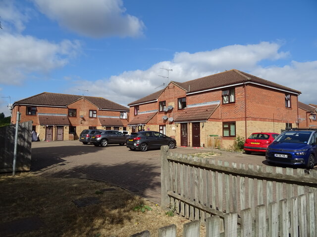
Ghyllgrove is characterized by its well-maintained streets lined with rows of neatly designed houses and leafy green spaces. The architecture predominantly consists of semi-detached and terraced houses, offering a mix of traditional and modern styles. The community is well-established, with a strong sense of pride among its residents.
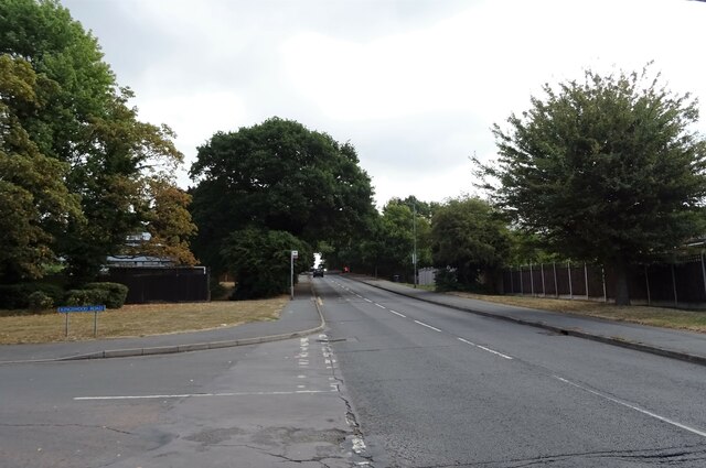
The area benefits from several nearby amenities, including schools, parks, and local shops. Ghyllgrove Primary School is a prominent educational institution that serves the community, providing quality education to children in the area. Additionally, several parks and green spaces, such as Gloucester Park and Northlands Park, offer recreational opportunities for residents, including walking paths, sports fields, and playgrounds.
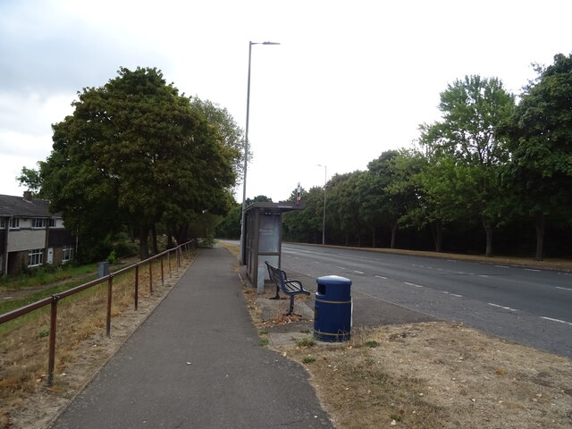
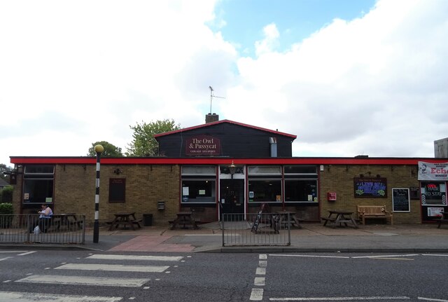
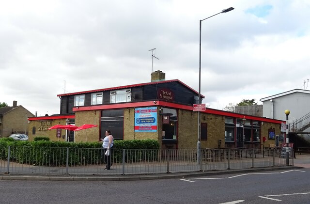
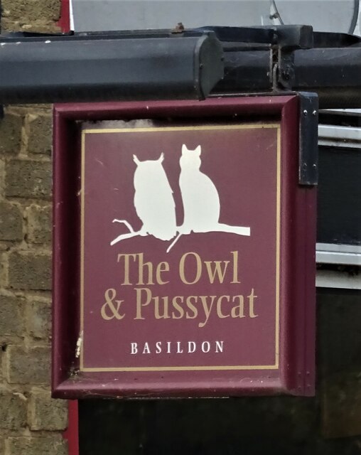
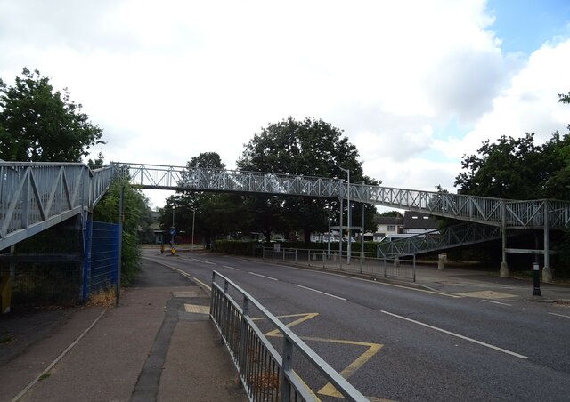
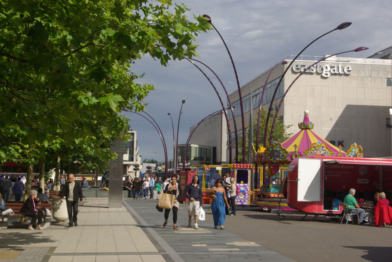
Ghyllgrove benefits from its proximity to Basildon town center, which provides a wide range of amenities, including shopping centers, restaurants, and entertainment options. The neighborhood also enjoys excellent transport links, with easy access to major roads, including the A127 and A13, connecting residents to other parts of Essex and beyond.
Overall, Ghyllgrove offers a peaceful and family-friendly environment, with convenient access to amenities and transportation, making it an attractive place to live in the Essex area.
If you have any feedback on the listing, please let us know in the comments section below.
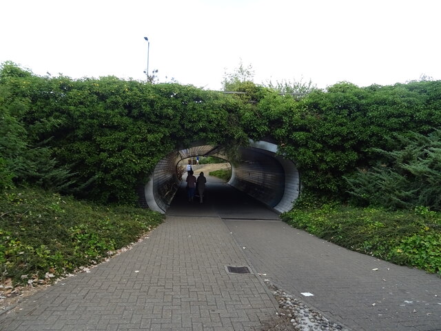
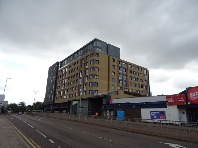
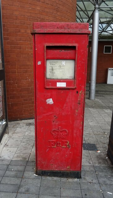
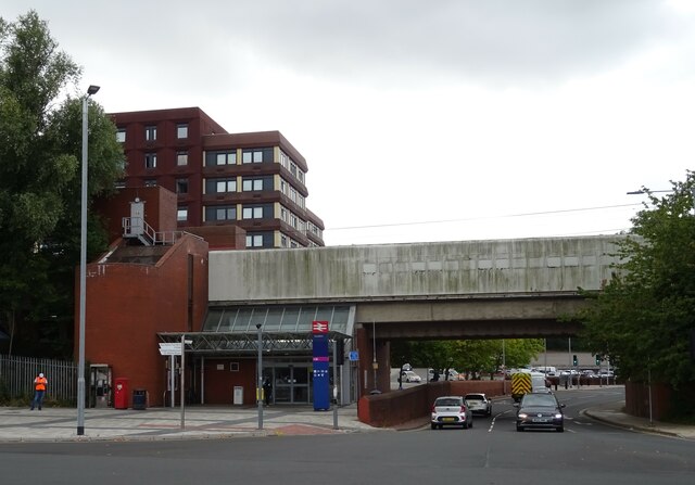
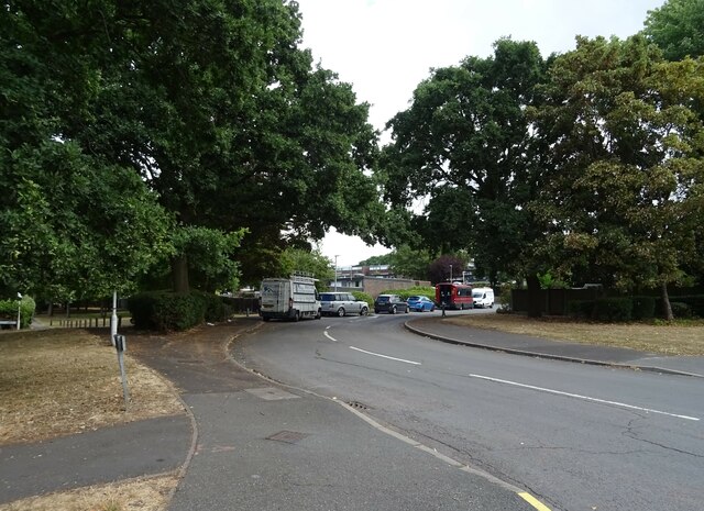
Ghyllgrove Images
Images are sourced within 2km of 51.57414/0.46275751 or Grid Reference TQ7089. Thanks to Geograph Open Source API. All images are credited.
Ghyllgrove is located at Grid Ref: TQ7089 (Lat: 51.57414, Lng: 0.46275751)
Administrative County: Essex
District: Basildon
Police Authority: Essex
What 3 Words
///shovels.mobile.seated. Near Basildon, Essex
Nearby Locations
Related Wikis

De La Salle School, Basildon
De La Salle School is a Roman Catholic voluntary aided school located in Basildon, Essex for boys and girls aged 11 to 16, in the Trusteeship of the La...

Basildon Urban District
Basildon Urban District (from 1934 to 1955 Billericay Urban District) was a local government district in south Essex, England from 1934 to 1974. The district...
Borough of Basildon
The Borough of Basildon is a local government district with borough status in Essex, England. The borough is named after its largest town, Basildon, where...

Basildon Town Centre
Basildon Town Centre is a planned town centre developed during the creation of the town of Basildon, Essex, in the 1950s. The architect Sir Basil Spence...

Basildon railway station
Basildon railway station is on the London, Tilbury and Southend line, serving the town of Basildon, Essex. It is 24 miles 26 chains (39.1 km) down the...

Gloucester Park, Basildon
Gloucester Park in Basildon is an urban neighbourhood park, named after the Duke of Gloucester, who opened the park in 1957. In the 1970s a 6-acre (24...
Woodlands School, Basildon
Woodlands School is a secondary school in Basildon, Essex. The school currently educates more than 1600 students from Basildon and South East Essex....
PROCAT
PROCAT is a further education college based in Basildon, Essex, England, with an additional campus in Canvey Island. PROCAT is an acronym of "Prospect...
Related Videos

Martello Beach Holiday Park - Brand new entertainment and leisure venue
We're proud to introduce a multi-million-pound investment to Martello Beach Holiday Park. Offering a brand new, state-of-the-art ...
St Osyth Beach - Holiday Home Ownership 2024
St Osyth Beach is situated right by the Essex coast just a few miles from Clacton. Enjoy the very best of both worlds, a fantastic ...

Martello Beach Holiday Park - Holidays & Short Breaks 2024
Martello Beach Holiday Park is the perfect seaside holiday location. Offering a brand-new, state-of-the-art entertainment and ...

St Osyth Beach Holiday Park - Holidays & Short Breaks 2024
Quiet beach side location with fantastic facilities at adjoining park. For more information visit www.parkholidays.com.
Nearby Amenities
Located within 500m of 51.57414,0.46275751Have you been to Ghyllgrove?
Leave your review of Ghyllgrove below (or comments, questions and feedback).