Fig Street
Settlement in Kent Sevenoaks
England
Fig Street
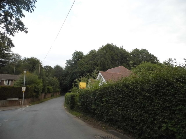
Fig Street is a charming residential area located in the picturesque county of Kent, in southeastern England. Situated on the outskirts of the bustling town of Ashford, Fig Street offers a peaceful and serene environment for its residents. The street is lined with a mix of well-maintained detached and semi-detached houses, each exuding a unique charm and character.
The architecture of Fig Street is predominantly traditional, with many properties showcasing beautiful period features such as bay windows, ornate doorways, and pitched roofs. The houses are surrounded by neatly manicured gardens, adding to the overall aesthetic appeal of the street.
Despite its tranquil setting, Fig Street benefits from excellent connectivity to surrounding areas. The nearby Ashford International Station provides direct train services to London and other major cities, making it an ideal location for commuters. Additionally, the street is conveniently located near the M20 motorway, allowing for easy access to other parts of Kent and beyond.
Residents of Fig Street enjoy a close-knit community atmosphere, with local amenities such as shops, schools, and parks within easy reach. The nearby countryside offers numerous opportunities for outdoor activities, including scenic walks and cycling routes. The area is also known for its rich history, with several historic landmarks and attractions located within a short distance.
Overall, Fig Street in Kent offers a delightful mix of tranquility, convenience, and community spirit, making it an ideal place to call home.
If you have any feedback on the listing, please let us know in the comments section below.
Fig Street Images
Images are sourced within 2km of 51.256896/0.17696834 or Grid Reference TQ5253. Thanks to Geograph Open Source API. All images are credited.
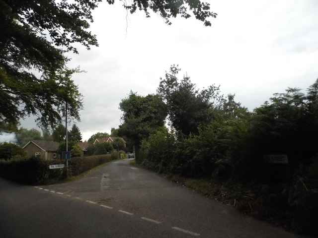
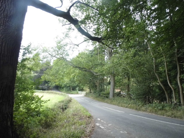
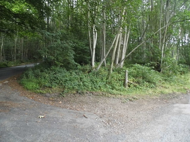
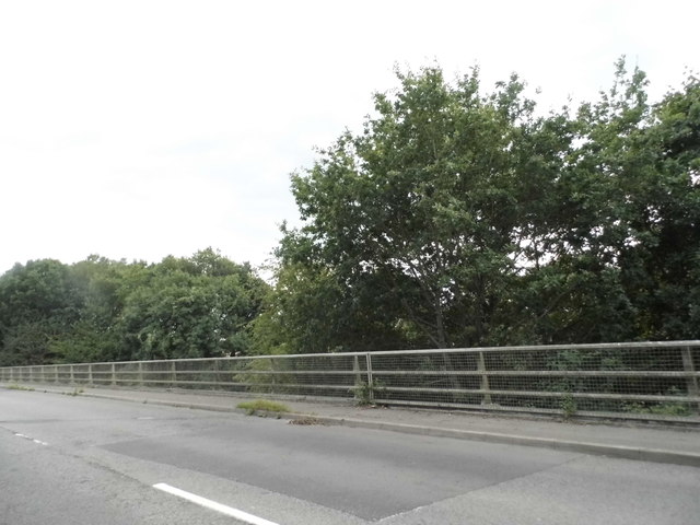
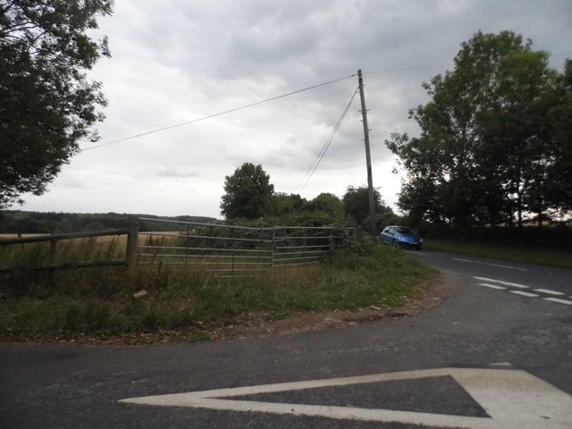
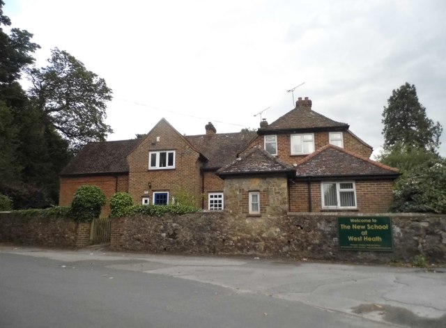
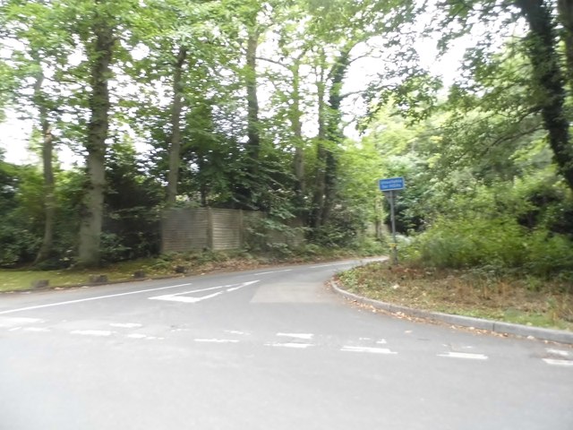
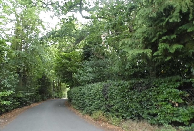
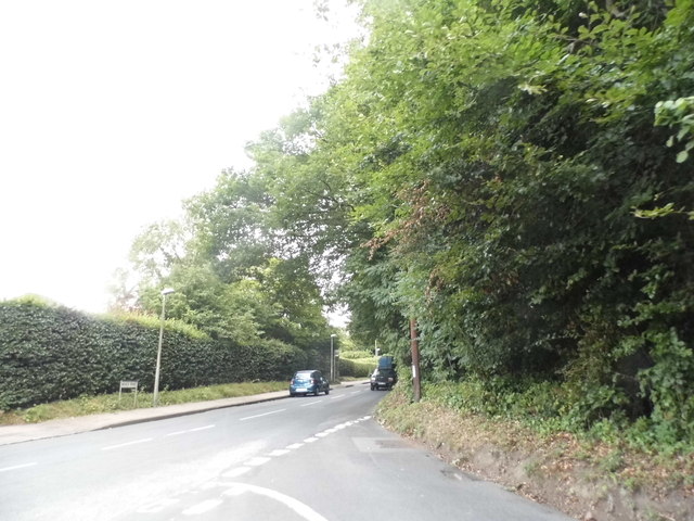
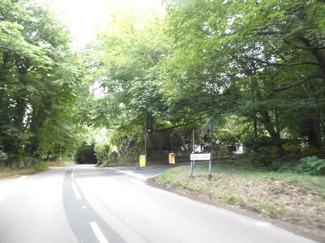
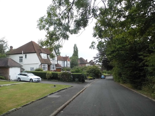
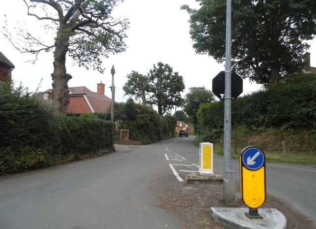
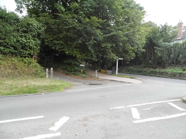
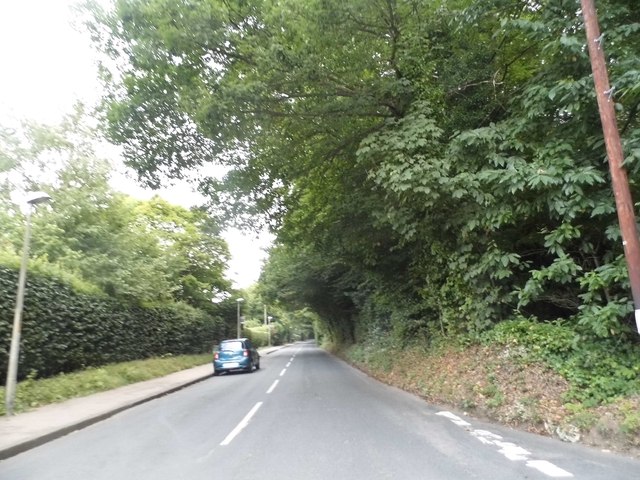
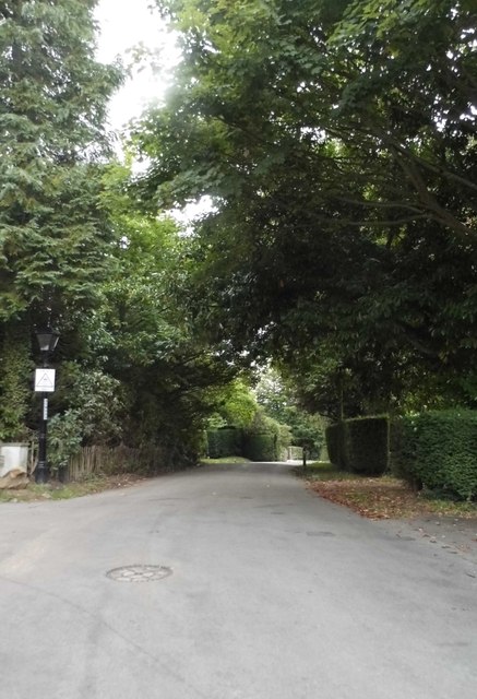
Fig Street is located at Grid Ref: TQ5253 (Lat: 51.256896, Lng: 0.17696834)
Administrative County: Kent
District: Sevenoaks
Police Authority: Kent
What 3 Words
///slices.pigs.began. Near Sevenoaks, Kent
Nearby Locations
Related Wikis

New Beacon School
The New Beacon Preparatory School is an independent all-boys preparatory school, located at Sevenoaks in the English county of Kent. It admits both day...

West Heath School (special school)
West Heath School is an independent school in Sevenoaks, Kent. It caters for children for whom mainstream schooling has become insufficient, for varying...

Sevenoaks School
Sevenoaks School is a highly selective coeducational private school in Sevenoaks, Kent, England. It is the second oldest non-denominational school in the...

Hubbard's Hill
Hubbard's Hill is a 66.6-hectare (165-acre) geological Site of Special Scientific Interest south of Sevenoaks in Kent. It is a Geological Conservation...

Sevenoaks District
Sevenoaks is a local government district in west Kent, England. Its council is based in the town of Sevenoaks. The district was formed on 1 April 1974...

Sevenoaks railway station
Sevenoaks railway station is a railway station on the South Eastern Main Line in England, serving the town of Sevenoaks, Kent. It is 22 miles 9 chains...

Knole
Knole () is a country house and former archbishop's palace owned by the National Trust. It is situated within Knole Park, a 1,000-acre (400-hectare) park...
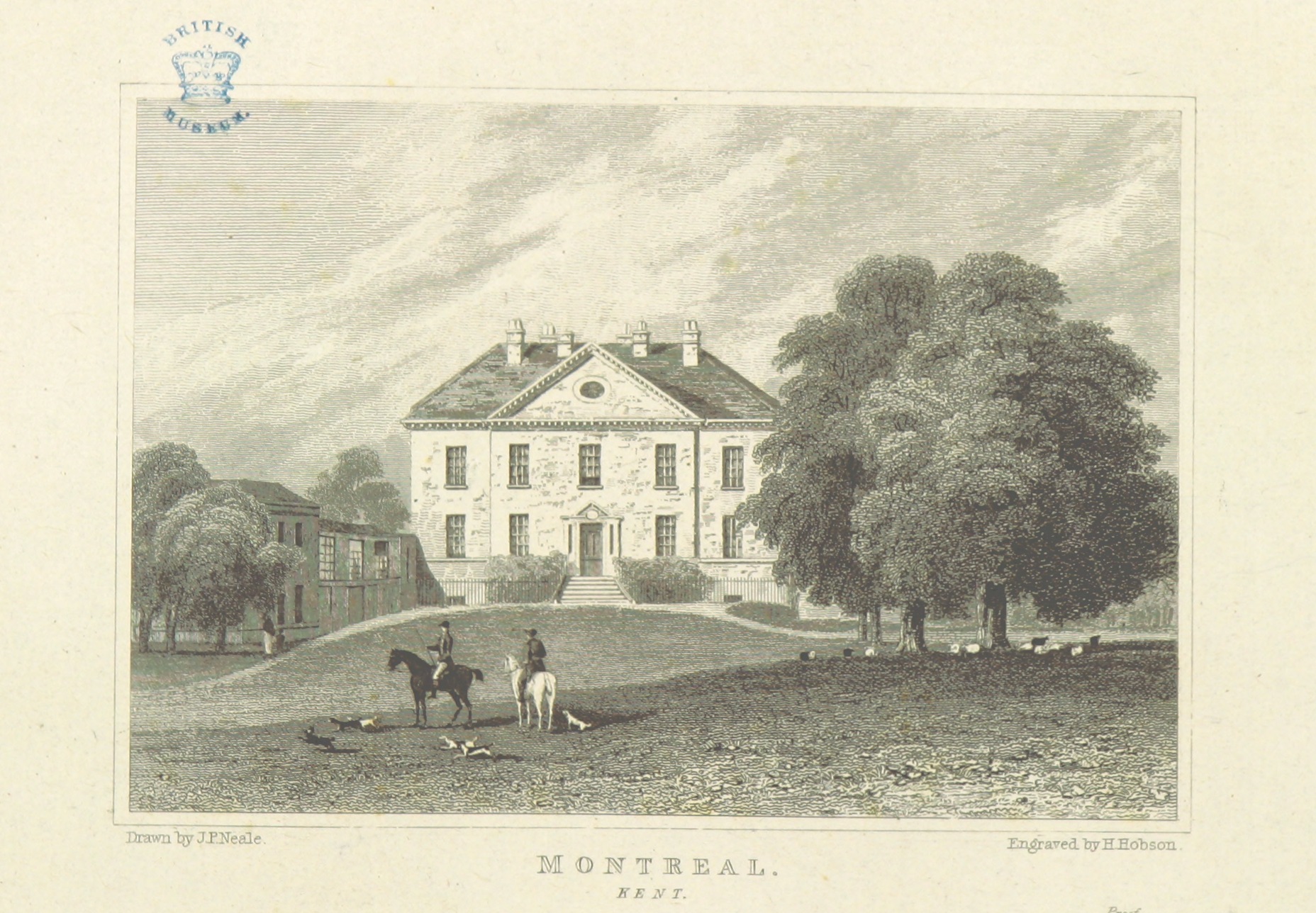
Montreal Park
Montreal Park is a development in Sevenoaks in Kent which was formerly the home of Lord Amherst, Commander-in-Chief of the Forces. It was named after his...
Nearby Amenities
Located within 500m of 51.256896,0.17696834Have you been to Fig Street?
Leave your review of Fig Street below (or comments, questions and feedback).