Fiddler's Hill
Settlement in Hertfordshire St. Albans
England
Fiddler's Hill
Fiddler's Hill is a small village located in the county of Hertfordshire, England. Situated in the eastern part of the county, it lies approximately 12 miles southeast of the town of Hertford. The village is nestled amidst picturesque countryside, surrounded by rolling hills and lush green fields.
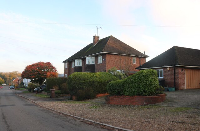
With a population of around 500 residents, Fiddler's Hill exudes a tranquil and close-knit community atmosphere. The village is known for its quaint charm, characterized by traditional thatched cottages and historic architecture. Many of these buildings date back several centuries, offering a glimpse into the village's rich history.
Despite its small size, Fiddler's Hill boasts a range of amenities to cater to its residents. These include a local pub, a village hall, and a small convenience store. The village is also home to a primary school, providing education for the local children.
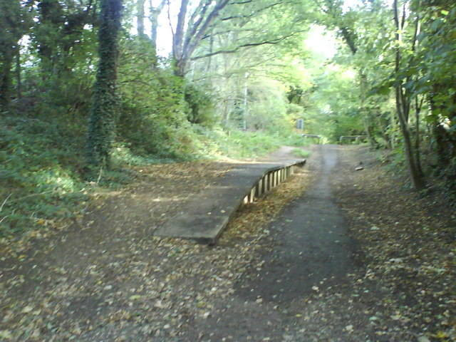
The natural beauty of the surrounding area makes Fiddler's Hill an ideal location for outdoor enthusiasts. The village is blessed with numerous walking and cycling trails, offering breathtaking views of the Hertfordshire countryside. Additionally, the nearby River Lea provides opportunities for fishing and boating.
Fiddler's Hill benefits from excellent transport links, with easy access to major road networks such as the A10 and A414. The nearest railway station is located in the nearby town of Ware, which offers regular services to London and other major cities.
Overall, Fiddler's Hill offers a peaceful and idyllic setting, making it a desirable place to live for those seeking a rural lifestyle within convenient reach of urban amenities.
If you have any feedback on the listing, please let us know in the comments section below.
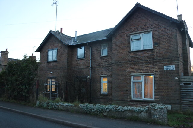
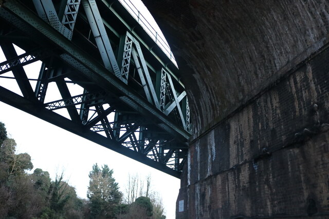
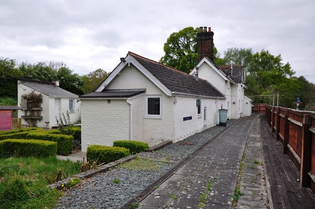
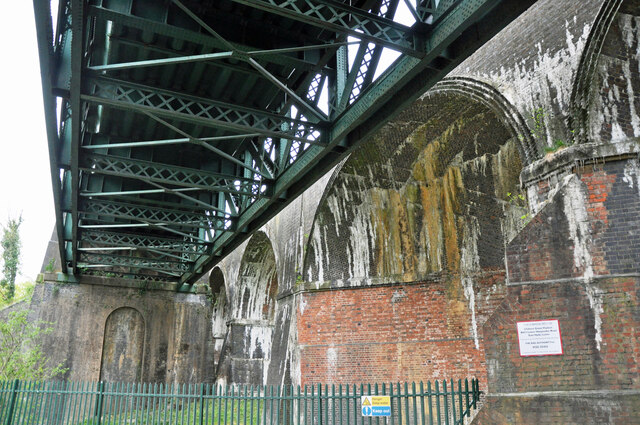
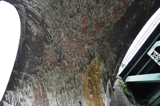
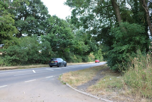
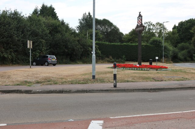
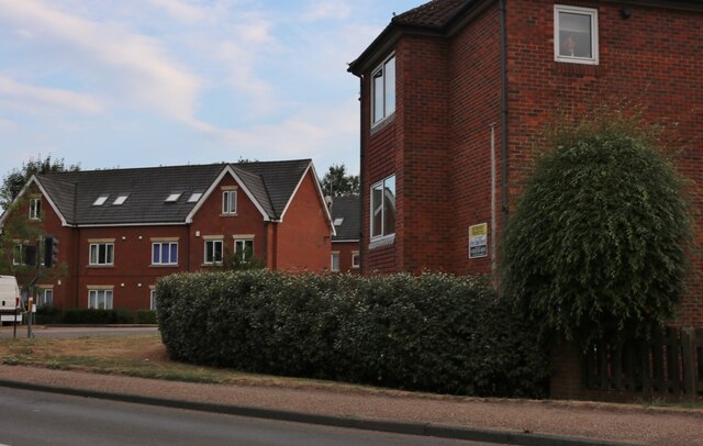
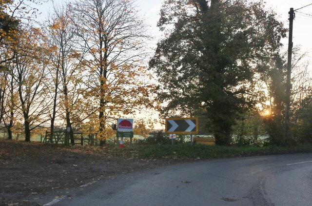
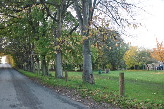
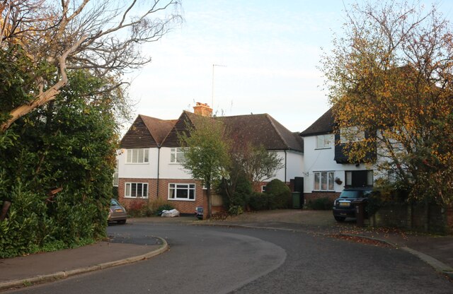
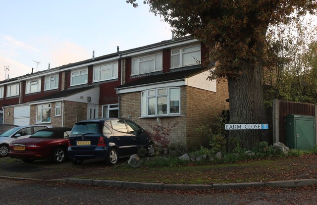
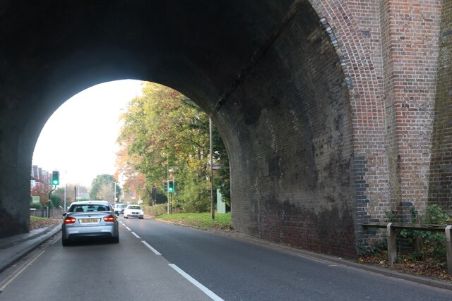
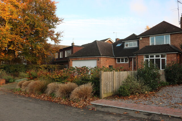
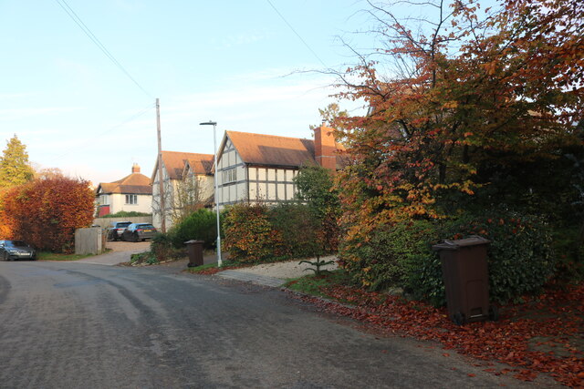
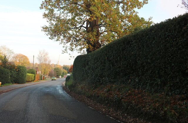
Fiddler's Hill Images
Images are sourced within 2km of 51.831834/-0.38440733 or Grid Reference TL1116. Thanks to Geograph Open Source API. All images are credited.
Fiddler's Hill is located at Grid Ref: TL1116 (Lat: 51.831834, Lng: -0.38440733)
Administrative County: Hertfordshire
District: St. Albans
Police Authority: Hertfordshire
What 3 Words
///fishery.panel.wallet. Near Harpenden, Hertfordshire
Nearby Locations
Related Wikis
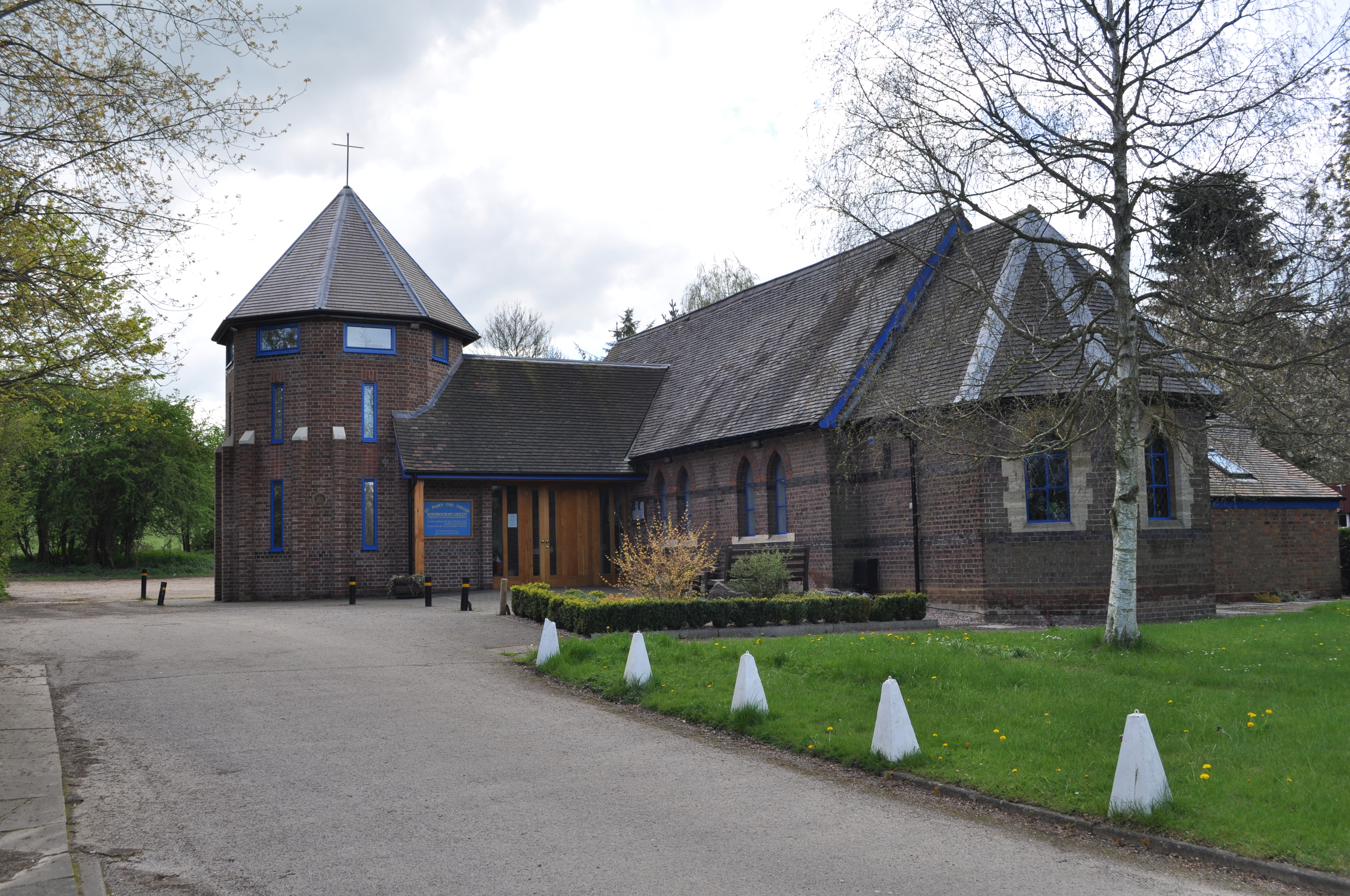
Kinsbourne Green
Kinsbourne Green is a small hamlet to the north-west of Harpenden in Hertfordshire, England. The hamlet is now geographically virtually contiguous with...

Harpenden Rural
Harpenden Rural is a civil parish in the City and District of St Albans in Hertfordshire, England, to the west of Harpenden parish. The local council is...
The King's School (Harpenden)
The King's School, Harpenden is a co-educational independent school for pupils aged four to sixteen, located to the north of Harpenden in Hertfordshire...
Roundwood Park School
Roundwood Park School is a non-selective state secondary school with academy status situated in Harpenden, Hertfordshire, UK. Opened in 1956, it currently...
Roundwood Halt railway station
Roundwood Halt railway station co-served the town of Harpenden, Hertfordshire, England from 1927 to 1949 on the Nickey Line. == History == The station...

East Hyde
East Hyde is a village in the civil parish of Hyde, in the Central Bedfordshire district, in the ceremonial county of Bedfordshire, England. East Hyde...
Hyde, Bedfordshire
Hyde (also known as The Hyde) is a civil parish in the county of Bedfordshire. It lies just south-east of Luton. Most of the land to the west of the River...

Luton Hoo railway station
Luton Hoo railway station was built by the Hertford, Luton & Dunstable Railway on the branch line between Hatfield and Dunstable. It opened in 1860 and...
Nearby Amenities
Located within 500m of 51.831834,-0.38440733Have you been to Fiddler's Hill?
Leave your review of Fiddler's Hill below (or comments, questions and feedback).