Fiddlers' Green
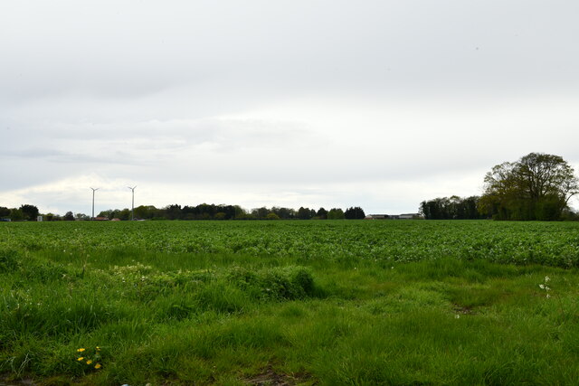
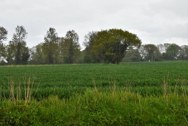
Settlement in Norfolk Breckland
England
Fiddlers' Green
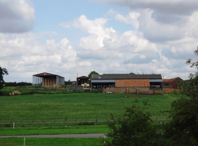
Fiddlers' Green is a small village located in Norfolk, England. Situated on the eastern coast, it is part of the broader district of North Norfolk. The village is known for its stunning coastal scenery and charming rural atmosphere, making it a popular destination for tourists and locals alike.
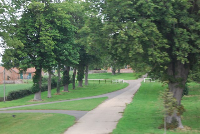
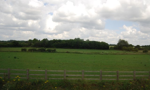
Surrounded by picturesque countryside and just a stone's throw away from the North Sea, Fiddlers' Green offers visitors a peaceful retreat from the bustling city life. The village is characterized by its traditional thatched-roof cottages, which add to its quaint and idyllic charm.
One of the main attractions in Fiddlers' Green is its beautiful beach, which stretches for miles along the coast. The sandy shores provide ample opportunities for sunbathing, relaxing walks, and exploring the diverse wildlife that inhabits the area. The beach is also a favorite spot for water sports enthusiasts, who can enjoy activities such as sailing, windsurfing, and kitesurfing.
In addition to its natural beauty, Fiddlers' Green boasts a vibrant community. The village is home to a range of amenities, including a local pub, a village hall, and a primary school. These facilities contribute to a strong sense of community spirit, with regular events and gatherings bringing residents together.
Overall, Fiddlers' Green offers a delightful mix of natural beauty, rural charm, and community spirit. Whether one is seeking a peaceful escape or an opportunity to explore the great outdoors, this Norfolk village provides a welcoming and enchanting destination.
If you have any feedback on the listing, please let us know in the comments section below.
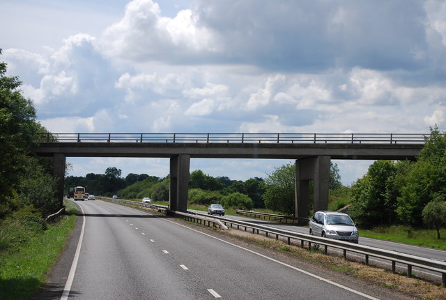
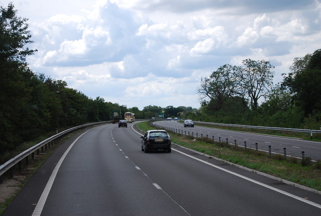
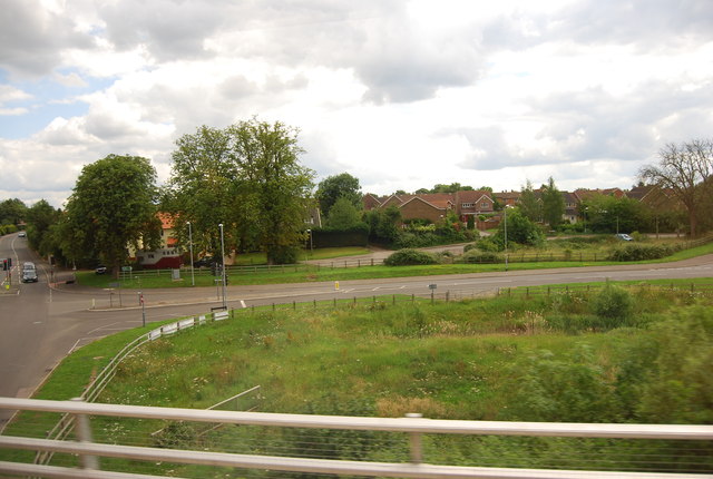
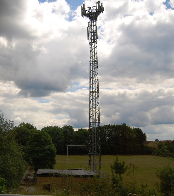
Fiddlers' Green Images
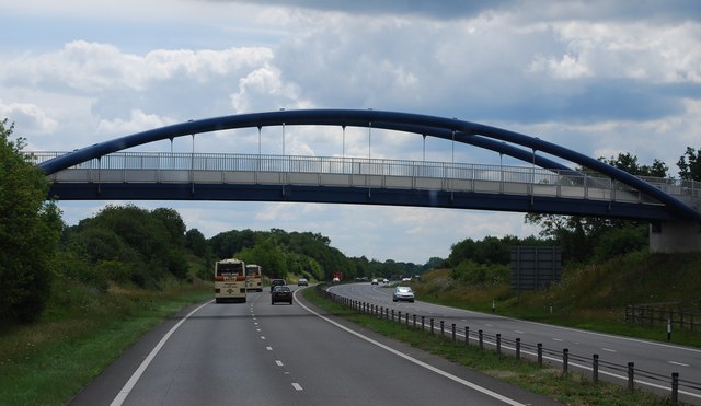
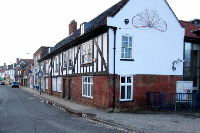
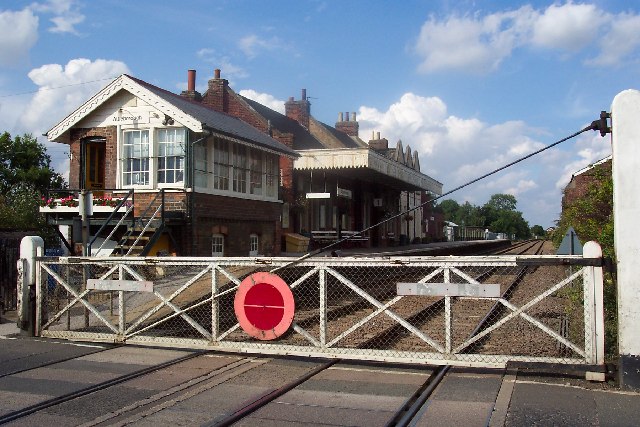
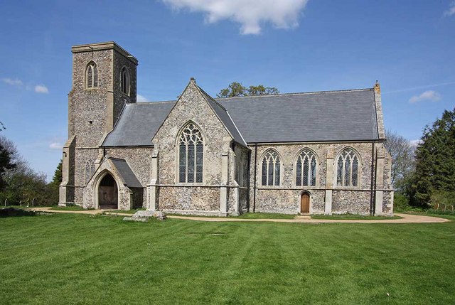
Images are sourced within 2km of 52.528235/1.0074808 or Grid Reference TM0496. Thanks to Geograph Open Source API. All images are credited.
Fiddlers' Green is located at Grid Ref: TM0496 (Lat: 52.528235, Lng: 1.0074808)
Administrative County: Norfolk
District: Breckland
Police Authority: Norfolk
What 3 Words
///creeps.crash.consoles. Near Attleborough, Norfolk
Nearby Locations
Related Wikis

Attleborough Academy
Attleborough Academy/Attleborough Academy Norfolk (AA/AAN) (formerly Attleborough High School) is a coeducational secondary school and sixth form with...

Attleborough
Attleborough is a market town and civil parish located on the A11 between Norwich and Thetford in Norfolk, England. The parish is in the district of Breckland...
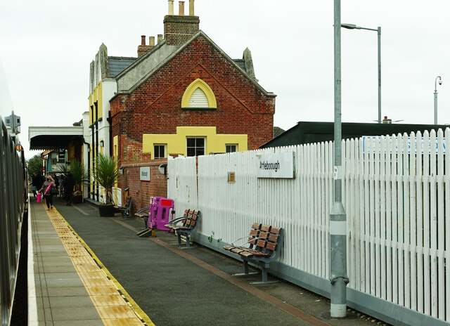
Attleborough railway station
Attleborough railway station is on the Breckland line in the east of England, serving the market town of Attleborough, Norfolk. The line runs between Cambridge...
Besthorpe, Norfolk
Besthorpe is a village and civil parish in the Breckland district of Norfolk, England, about a mile east of Attleborough, on the A11 road. According to...
Related Videos


Believe in Quality | Not in Quantity
Licensed #Blogger #Fitness #Travel #Fashion #LifeStyle #PublishedModel #Actor #Entrepreneur #FitnessPro IG ...
Nearby Amenities
Located within 500m of 52.528235,1.0074808Have you been to Fiddlers' Green?
Leave your review of Fiddlers' Green below (or comments, questions and feedback).