Erskine Harbour

Settlement in Renfrewshire

Scotland

Erskine Harbour

New path A new path and cycleway has recently been laid, which leads off from the Forth and Clyde Canal towpath. This joins the route of the former Lanarkshire and Dumbartonshire Railway railway. The new path will cross the canal over the old swing bridge at Bowling, over the current railway line and then over the A814 to join the existing route which follows the route of the old line.
New path Credit: Richard Sutcliffe

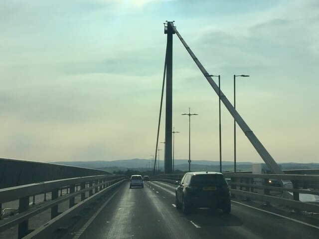
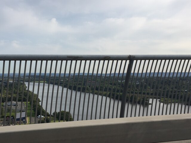
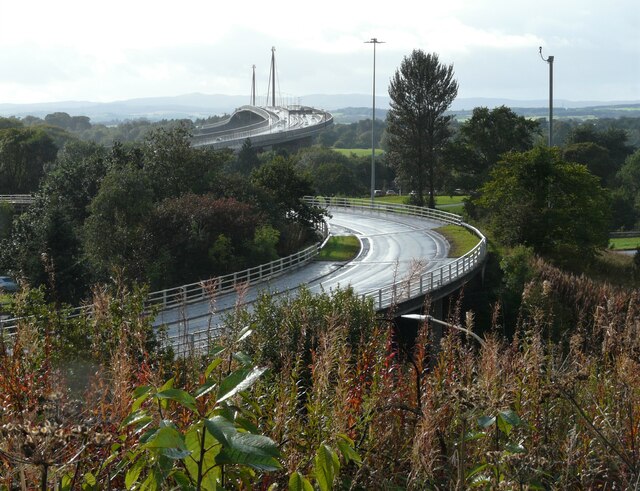
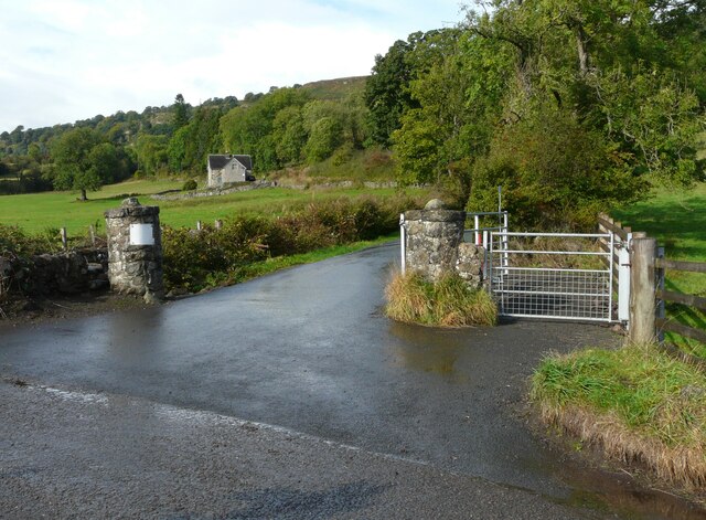
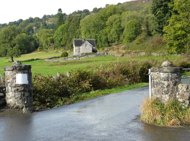
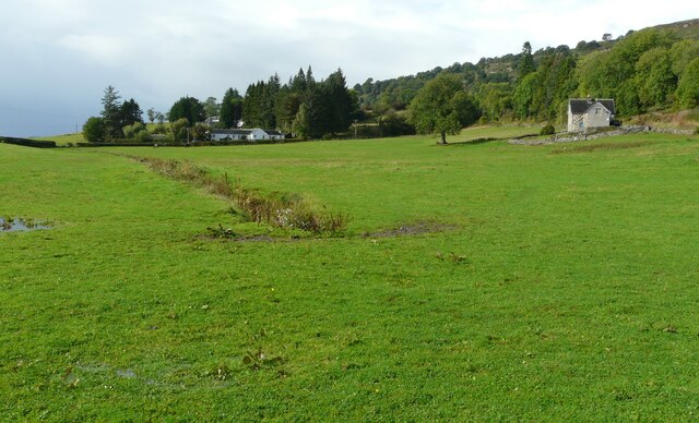
Erskine Harbour is a small coastal town located in the county of Renfrewshire, Scotland. Situated on the southern bank of the River Clyde, it offers picturesque views of the surrounding countryside and river.

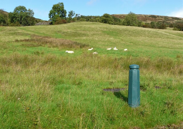
The town is known for its tranquil and scenic setting, making it a popular destination for both tourists and locals alike. The harbour itself is a hub of activity, with fishing boats and pleasure crafts coming and going throughout the day. It serves as an important port for the local fishing industry and provides a source of livelihood for many residents.

Erskine Harbour boasts a close-knit community, with friendly and welcoming locals. The town offers a range of amenities, including a variety of shops, cafes, and restaurants, catering to the needs of both residents and visitors. There are also several charming bed and breakfast accommodations available for those looking to stay overnight.

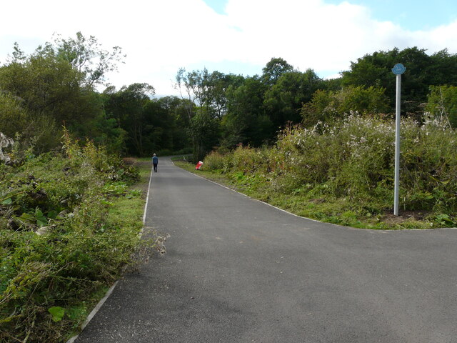
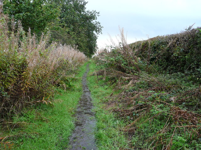
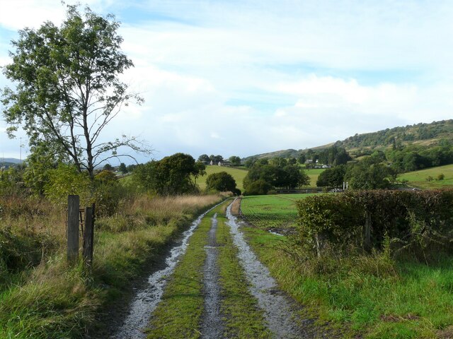
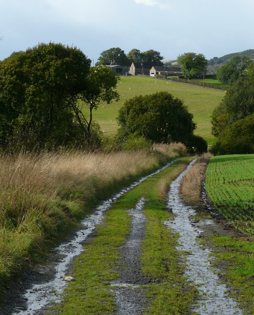
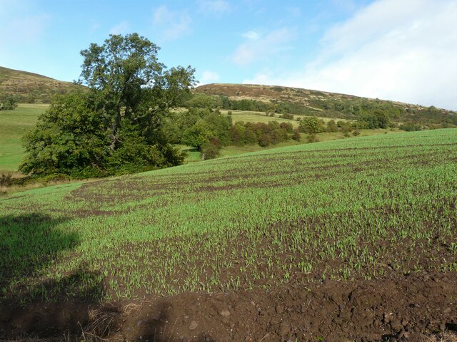
Nature enthusiasts will find plenty to explore in Erskine Harbour, with nearby nature reserves and walking trails. The area is home to a diverse range of wildlife, including various bird species, making it a haven for birdwatchers.

For history enthusiasts, the town has a rich heritage. Erskine Castle, a historic landmark dating back to the 14th century, is located nearby and is open for tours. The castle offers a glimpse into the region's past and provides visitors with a chance to learn about its fascinating history.

Overall, Erskine Harbour is a charming coastal town that offers a tranquil escape from the bustling city life, making it an ideal destination for those seeking relaxation and natural beauty.

If you have any feedback on the listing, please let us know in the comments section below.

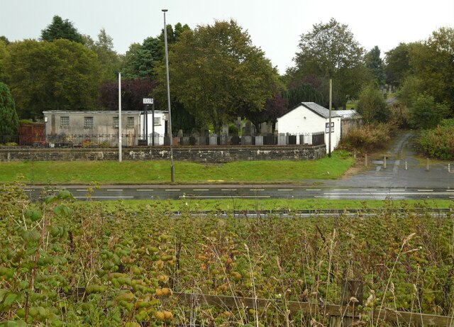
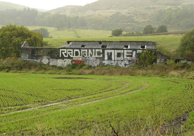
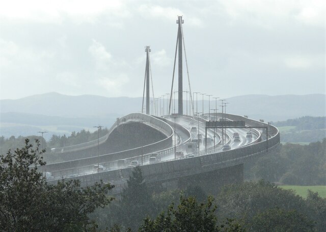
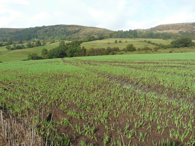
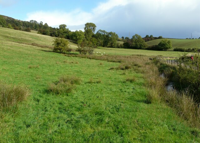
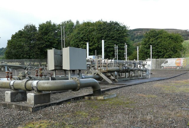
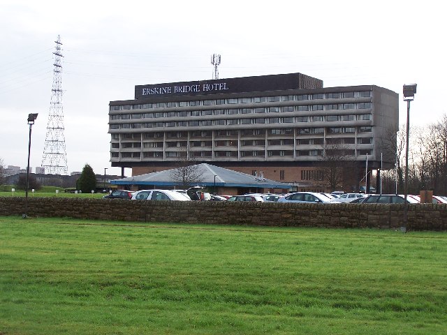
Erskine Harbour Images

Images are sourced within 2km of 55.913649/-4.459979 or Grid Reference NS4671. Thanks to Geograph Open Source API. All images are credited.

New path A new path and cycleway has recently been laid, which leads off from the Forth and Clyde Canal towpath. This joins the route of the former Lanarkshire and Dumbartonshire Railway railway. The new path will cross the canal over the old swing bridge at Bowling, over the current railway line and then over the A814 to join the existing route which follows the route of the old line.
New path
A new path and cycleway has recently been laid, which leads off from the Forth and Clyde Canal towpath. This joins the route of the former Lanarkshire and Dumbartonshire Railway railway. The new path will cross the canal over the old swing bridge at Bowling, over the current railway line and then over the A814 to join the existing route which follows the route of the old line.
The Erskine Bridge The A898 crossing the River Clyde.
The Erskine Bridge
The A898 crossing the River Clyde.
The River Clyde Seen through the barrier of the Erskine Bridge.
The River Clyde
Seen through the barrier of the Erskine Bridge.
Line of the Antonine Wall The path runs between farmland on the right and the Clydebank Dalnottar Crematorium and North Dalnottar Cemetery on the left. It is following the line of the Roman wall (a Scheduled monument <span class="nowrap"><a title="http://portal.historicenvironment.scot/designation/SM7066)" rel="nofollow ugc noopener" href="http://portal.historicenvironment.scot/designation/SM7066)">Link</a><img style="margin-left:2px;" alt="External link" title="External link - shift click to open in new window" src="https://s1.geograph.org.uk/img/external.png" width="10" height="10"/></span> at this point.
Line of the Antonine Wall
The path runs between farmland on the right and the Clydebank Dalnottar Crematorium and North Dalnottar Cemetery on the left. It is following the line of the Roman wall (a Scheduled monument LinkExternal link at this point.
A Buchanan Memorials Supplier of monumental headstones, based at the corner of Old Dalnottar Cemetery, beside the A82.
A Buchanan Memorials
Supplier of monumental headstones, based at the corner of Old Dalnottar Cemetery, beside the A82.
Ruined buildings Apparently this was once a piggery. The graffiti has changed since photographed a few years earlier <a href="https://www.geograph.org.uk/photo/3925314">NS4772 : Ruined piggery</a>.
Ruined buildings
Apparently this was once a piggery. The graffiti has changed since photographed a few years earlier NS4772 : Ruined piggery.
The Erskine Bridge A zoomed view from about 1km away. A heavy rain shower has just passed through, and the spray from vehicles crossing the bridge is visible even from this distance.
The Erskine Bridge
A zoomed view from about 1km away. A heavy rain shower has just passed through, and the spray from vehicles crossing the bridge is visible even from this distance.
Next year's crop Presumably some kind of cereal. Looking towards the Kilpatrick Hills behind.
Next year's crop
Presumably some kind of cereal. Looking towards the Kilpatrick Hills behind.
Erskine Bridge and slip road The slip road carries Glasgow-bound traffic off the bridge (A898) to join the A82.
Erskine Bridge and slip road
The slip road carries Glasgow-bound traffic off the bridge (A898) to join the A82.
Farm track The track heads downhill to Braes Road.
Farm track
The track heads downhill to Braes Road.
Track to Braes Road The farm track is very wet after a heavy shower of rain. Mount Pleasant Farm is in the distance.
Track to Braes Road
The farm track is very wet after a heavy shower of rain. Mount Pleasant Farm is in the distance.
Looking up the hill A view over a newly planted crop towards the Kilpatrick Hills.
Looking up the hill
A view over a newly planted crop towards the Kilpatrick Hills.
Sheep and a bollard The bollard is probably a telemetry pillar for data logging equipment connected with the water supply.
Sheep and a bollard
The bollard is probably a telemetry pillar for data logging equipment connected with the water supply.
Road to Gavinburn Cottages The private road also leads to Hole Cottage (visible in the distance) and continues on to Loch Humphrey.
Road to Gavinburn Cottages
The private road also leads to Hole Cottage (visible in the distance) and continues on to Loch Humphrey.
Hole Cottage Looking from the gates at the end of the private road to Gavinburn Cottages and Loch Humphrey.
Hole Cottage
Looking from the gates at the end of the private road to Gavinburn Cottages and Loch Humphrey.
Disappearing drainage ditch A drainage ditch crosses the field, but goes underground just before it goes under the road to Gavinburn Cottages and Loch Humphrey (out of sight to the right). In the distance is Drums Lodge and Hole Cottage is on the right.
Disappearing drainage ditch
A drainage ditch crosses the field, but goes underground just before it goes under the road to Gavinburn Cottages and Loch Humphrey (out of sight to the right). In the distance is Drums Lodge and Hole Cottage is on the right.
Rough grazing The small drainage ditch at the field boundary beside the road eventually joins the Dalnottar Burn.
Rough grazing
The small drainage ditch at the field boundary beside the road eventually joins the Dalnottar Burn.
Gas installation Various pipes and valves relating to gas, referred to on the map as a gas governor. Photographed through the surrounding fence.

The photograph was taken to replicate the first image for the square <a href="https://www.geograph.org.uk/photo/161155">NS4773 : Old Kilpatrick Gasworks</a> photographed and submitted in 2006.
Gas installation
Various pipes and valves relating to gas, referred to on the map as a gas governor. Photographed through the surrounding fence. The photograph was taken to replicate the first image for the square NS4773 : Old Kilpatrick Gasworks photographed and submitted in 2006.
Show me another place!

Erskine Harbour is located at Grid Ref: NS4671 (Lat: 55.913649, Lng: -4.459979)

Unitary Authority: Renfrewshire

Police Authority: Renfrewshire and Inverclyde

What 3 Words

///suffice.estimates.rebel. Near Old Kilpatrick, West Dunbartonshire

Related Wikis

Nearby Amenities

Located within 500m of 55.913649,-4.459979
Leisure: slipway
Lat/Long: 55.9173083/-4.4615246
Barrier: bollard
Bicycle: yes
Foot: yes
Horse: yes
Source: survey
Lat/Long: 55.9171641/-4.4622938
Crossing: informal
Lat/Long: 55.9112819/-4.4581182
Crossing: informal
Lat/Long: 55.9114135/-4.4579975
Barrier: block
Lat/Long: 55.9130788/-4.4570352
Barrier: block
Lat/Long: 55.9137642/-4.4597463
Seamark Light Character: Fl
Seamark Light Colour: green
Seamark Light Height: 10
Seamark Light Period: 5
Seamark Light Range: 8
Seamark Light Reference: A 4501
Seamark Light Sequence: 0.5+(4.5)
Seamark Type: light_minor
Source: US NGA Pub. 114. 2011-05-26.
Lat/Long: 55.9131167/-4.4544167
Give Way
Direction: backward
Lat/Long: 55.9104093/-4.4617459
Leisure: picnic_table
Lat/Long: 55.9147524/-4.4641811
Leisure: picnic_table
Lat/Long: 55.9146104/-4.4644155
Bench
Backrest: yes
Material: wood
Lat/Long: 55.9158922/-4.4666214
Information: map
Tourism: information
Lat/Long: 55.9142036/-4.4653358
Bench
Backrest: no
Material: wood
Seats: 1
Lat/Long: 55.9168021/-4.4651229
Waste Basket
Lat/Long: 55.914161/-4.4653514
Bench
Backrest: no
Material: wood
Seats: 1
Lat/Long: 55.9168227/-4.4651632
The data included in this document is from www.openstreetmap.org. The data is made available under ODbL.

Have you been to Erskine Harbour?

Leave your review of Erskine Harbour below (or comments, questions and feedback).