East End
Settlement in Cambridgeshire East Cambridgeshire
England
East End
East End is a small village located in the county of Cambridgeshire, in the eastern part of England. It is situated near the town of Huntingdon and is surrounded by picturesque countryside. With a population of around 500 residents, East End offers a tranquil and close-knit community atmosphere.
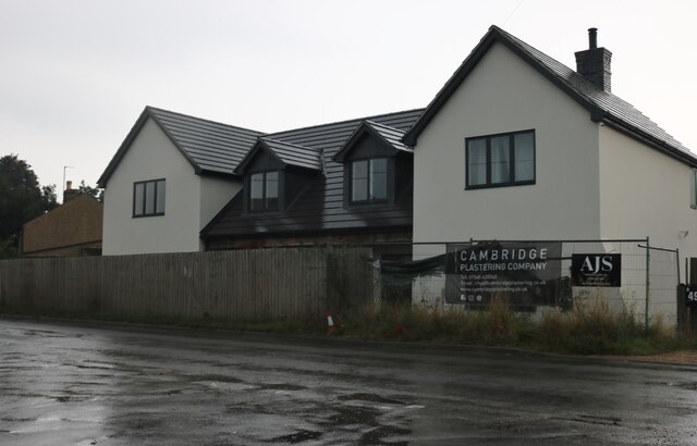
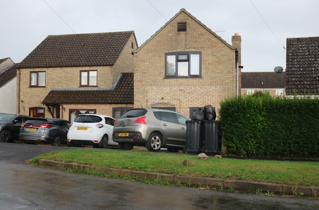
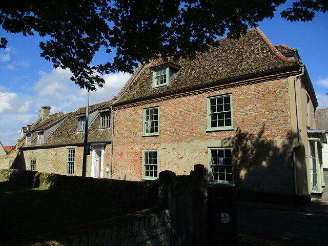
The village is known for its charming and well-preserved traditional cottages, which add to its quaint and idyllic character. These properties are often made of local stone and feature beautiful gardens, enhancing the overall charm of the area. The village is also home to a historic church, St. Mary’s, which dates back to the 13th century and serves as a focal point for both religious and community activities.
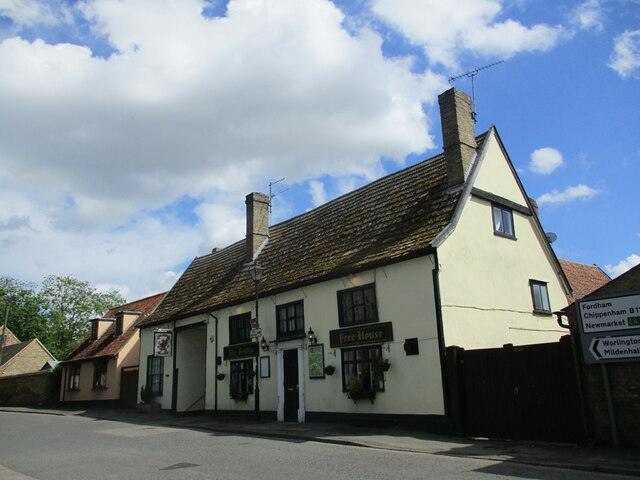
Despite its small size, East End boasts a range of amenities for its residents. The village has a local pub, The Crown Inn, which provides a welcoming atmosphere and serves delicious traditional British cuisine. Additionally, there is a small convenience store that caters to the daily needs of the locals.
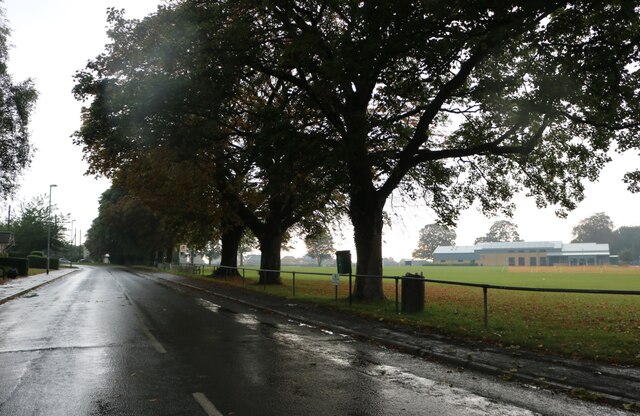
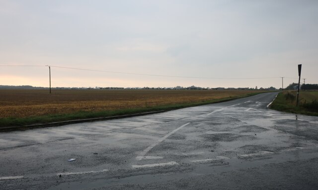
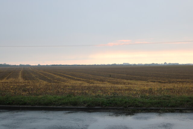
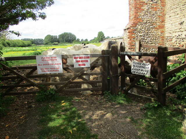
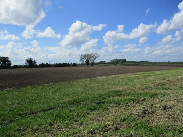
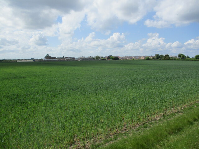
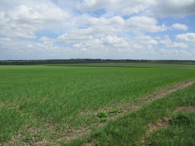
East End benefits from its proximity to the surrounding countryside, offering residents and visitors the opportunity to explore nature through various walking and cycling routes. The village is surrounded by fields, meadows, and woodlands, providing ample opportunities for outdoor activities and enjoying the natural beauty of the area.
Overall, East End, Cambridgeshire offers a peaceful and picturesque setting, making it an ideal place for those seeking a tranquil lifestyle amidst the beauty of the English countryside.
If you have any feedback on the listing, please let us know in the comments section below.
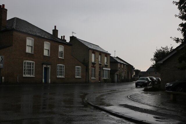
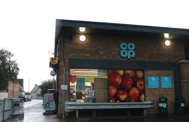
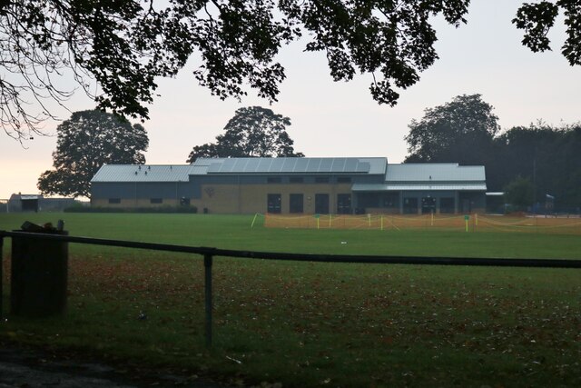
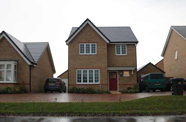
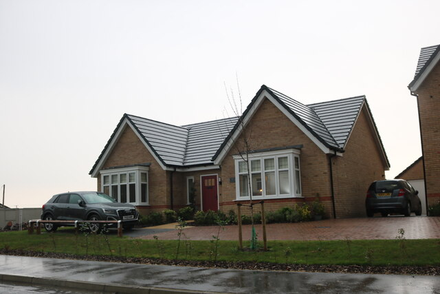
East End Images
Images are sourced within 2km of 52.345872/0.4226966 or Grid Reference TL6574. Thanks to Geograph Open Source API. All images are credited.

East End is located at Grid Ref: TL6574 (Lat: 52.345872, Lng: 0.4226966)
Administrative County: Cambridgeshire
District: East Cambridgeshire
Police Authority: Cambridgeshire
What 3 Words
///tungsten.centuries.supposing. Near Isleham, Cambridgeshire
Related Wikis

Isleham Hoard
The Isleham Hoard is a hoard of more than 6,500 pieces of worked and unworked bronze, dating from the Bronze Age, found in 1959 by William 'Bill' Houghton...

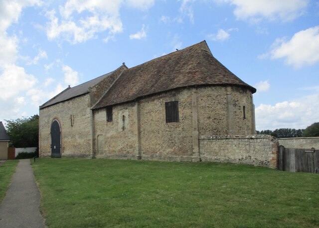
Isleham Priory Church
Isleham Priory Church, located in Isleham, Cambridgeshire, England, is a Benedictine alien priory built around 1100 AD. It is an important example of an...

Isleham railway station
Isleham railway station is a disused railway station on the Cambridge to Mildenhall railway in England. The station was on the outskirts of the village...

Isleham
Isleham is a village and civil parish in the English county of Cambridgeshire. It is part of the Fens. It has three pubs. == Geography == Isleham is located...

Isleham Nature Reserve
Isleham Nature Reserve is a 1.1 hectare Local Nature Reserve in Isleham in Cambridgeshire. It is owned by Cambridgeshire County Council and managed by...
Mildenhall Stadium
Mildenhall Stadium is a speedway, stock car racing and Greyhound Board of Great Britain regulated greyhound racing venue located in Mildenhall, Suffolk...

West Row
West Row is a small village and civil parish in the English county of Suffolk. It is generally considered the edge of The Fens. == Geography == West Row...

Freckenham
Freckenham is a small rural village and civil parish in the West Suffolk district of Suffolk in East Anglia, in the country of England. Geographically...
Nearby Amenities
Located within 500m of 52.345872,0.4226966Have you been to East End?
Leave your review of East End below (or comments, questions and feedback).