Delves

Settlement in Yorkshire Scarborough

England

Delves

Honey Bee Nest Garage, Glaisdale
Honey Bee Nest Garage, Glaisdale Credit: Mick Garratt

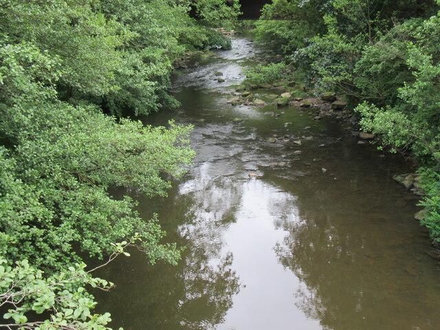
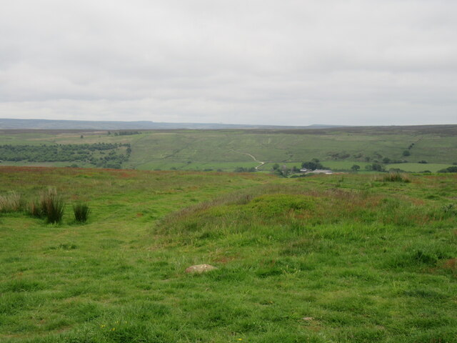
Delves is a small village located in the East Riding of Yorkshire, England. Situated in the Yorkshire Wolds, it is surrounded by picturesque countryside and rolling hills, providing a tranquil and idyllic setting. The village is approximately 5 miles north of the market town of Beverley and 15 miles east of the city of York.

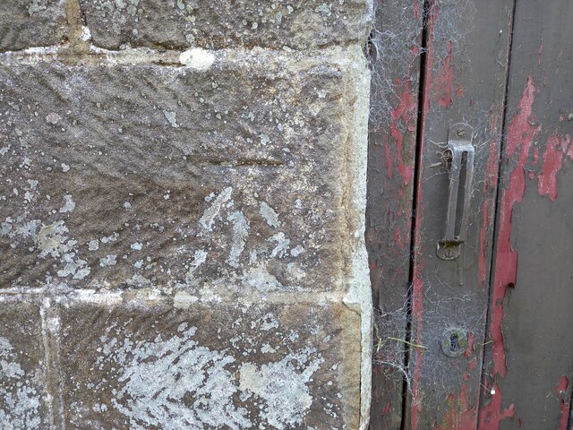
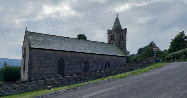
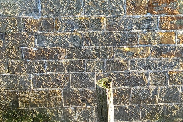
Delves is known for its historic charm, with many buildings dating back several centuries. The village church, St. Peter's, is a prominent feature, showcasing stunning architecture and serving as a reminder of the area's rich history. The churchyard is a peaceful spot, offering a place for reflection and contemplation.

The community in Delves is tight-knit and welcoming, with a strong sense of community spirit. The village has a local pub, The Wolds Arms, which acts as a social hub and gathering place for residents and visitors alike. The pub offers a range of delicious traditional pub food and beverages, making it a popular spot for locals to relax and catch up.

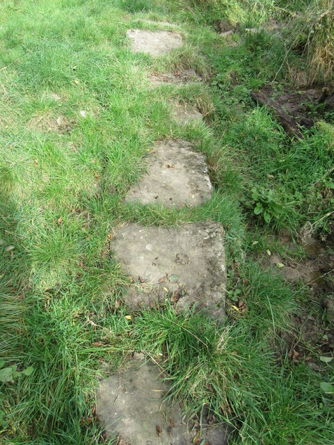
For those who enjoy outdoor activities, Delves offers ample opportunities for leisurely walks and hikes, allowing visitors to take in the breathtaking views of the surrounding countryside. The village is also located near several nature reserves and parks, providing further options for exploration and wildlife spotting.

Delves, Yorkshire, is a charming village that perfectly encapsulates the beauty and tranquility of rural England, making it an ideal destination for those seeking a peaceful getaway or a taste of traditional village life.

If you have any feedback on the listing, please let us know in the comments section below.
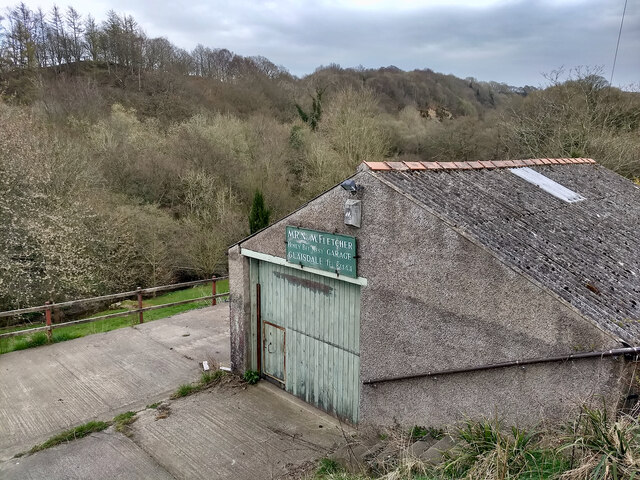
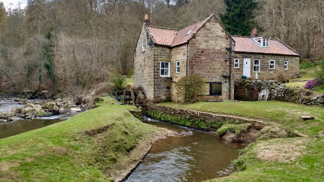
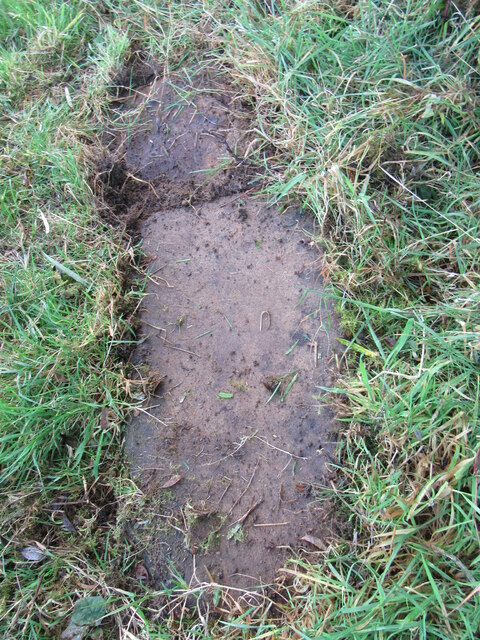
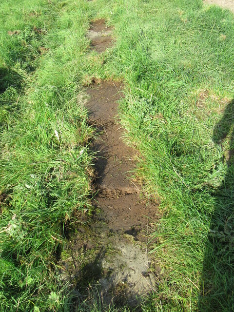
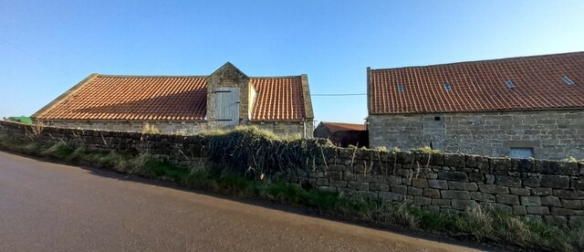
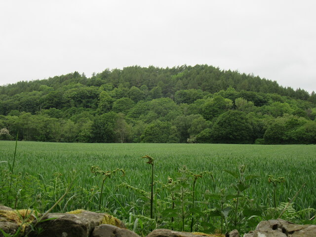
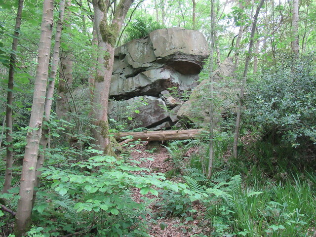
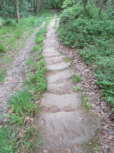
Delves Images

Images are sourced within 2km of 54.430155/-0.78265117 or Grid Reference NZ7904. Thanks to Geograph Open Source API. All images are credited.

Honey Bee Nest Garage, Glaisdale
Glaisdale Mill
Glaisdale Mill
Stone trod near Red House On the bridleway near Red House, the grass peels back easily when it is wet.
Stone trod near Red House
On the bridleway near Red House, the grass peels back easily when it is wet.
Stone trod near Hart Hall The grass peeled back easily.
Stone trod near Hart Hall
The grass peeled back easily.
Stone trod near West Arncliffe Wood These stones were already uncovered.
Stone trod near West Arncliffe Wood
These stones were already uncovered.
Glaisdale, St Thomas's This benchmark is cut into the north facing side wall of the parish church. It is cut about 3 foot from ground level.
Glaisdale, St Thomas's
This benchmark is cut into the north facing side wall of the parish church. It is cut about 3 foot from ground level.
Glaisdale, St Thomas's There is a benchmark cut into the north facing side wall of the parish church. It is towards the left side of this wall, and to the immediate left of a small door, which isn't shown in this picture.
Glaisdale, St Thomas's
There is a benchmark cut into the north facing side wall of the parish church. It is towards the left side of this wall, and to the immediate left of a small door, which isn't shown in this picture.
Glaisdale, Limber Hill Farm The benchmark is cut into the roadside wall of this old stone farm building.
Glaisdale, Limber Hill Farm
The benchmark is cut into the roadside wall of this old stone farm building.
Glaisdale, Limber Hill Farm There is a benchmark cut into the roadside wall of this old stone farm building; it is directly below the white painted loft doors.
Glaisdale, Limber Hill Farm
There is a benchmark cut into the roadside wall of this old stone farm building; it is directly below the white painted loft doors.
Near Egton Bridge Looking NW from the road.
Near Egton Bridge
Looking NW from the road.
Rocky outcrop in East Arncliffe Woods In East Arncliffe Woods.
Rocky outcrop in East Arncliffe Woods
In East Arncliffe Woods.
Stone trod in East Arncliffe Wood On the Esk Valley Walk.
Stone trod in East Arncliffe Wood
On the Esk Valley Walk.
River Esk at Beggar's Bridge Looking downstream.
River Esk at Beggar's Bridge
Looking downstream.
Glaisdale sign Near Beggar's Bridge.
Glaisdale sign
Near Beggar's Bridge.
Near Snowdon Nab Farm Looking west towards Glaisdale village.
Near Snowdon Nab Farm
Looking west towards Glaisdale village.
At the top of the hill Looking east across the Butter Beck valley.
At the top of the hill
Looking east across the Butter Beck valley.
Modern Waymarker by Delves Lane The Modern Waymarker is located against the front garden wall of the Grade II* Listed Delves Cottage on the North of the road.  Parish of Egton (Scarborough District). Carved stone post, erected in the 20th Century. 

Inscription reads:-  
EGTON BRIDGE 1 MILE / EGTON 2 MILES  

Milestone Society National ID: YN_XEGT
Modern Waymarker by Delves Lane
The Modern Waymarker is located against the front garden wall of the Grade II* Listed Delves Cottage on the North of the road.  Parish of Egton (Scarborough District). Carved stone post, erected in the 20th Century. Inscription reads:- EGTON BRIDGE 1 MILE / EGTON 2 MILES Milestone Society National ID: YN_XEGT
Walk Mill, Glaisdale This is called Walk Mill on NLS Maps
Walk Mill, Glaisdale
This is called Walk Mill on NLS Maps
Show me another place!

Delves is located at Grid Ref: NZ7904 (Lat: 54.430155, Lng: -0.78265117)

Division: North Riding

Administrative County: North Yorkshire

District: Scarborough

Police Authority: North Yorkshire

What 3 Words

///bluff.amending.blizzard. Near Sleights, North Yorkshire

Nearby Locations

Underwood's Wood Delves

Related Wikis

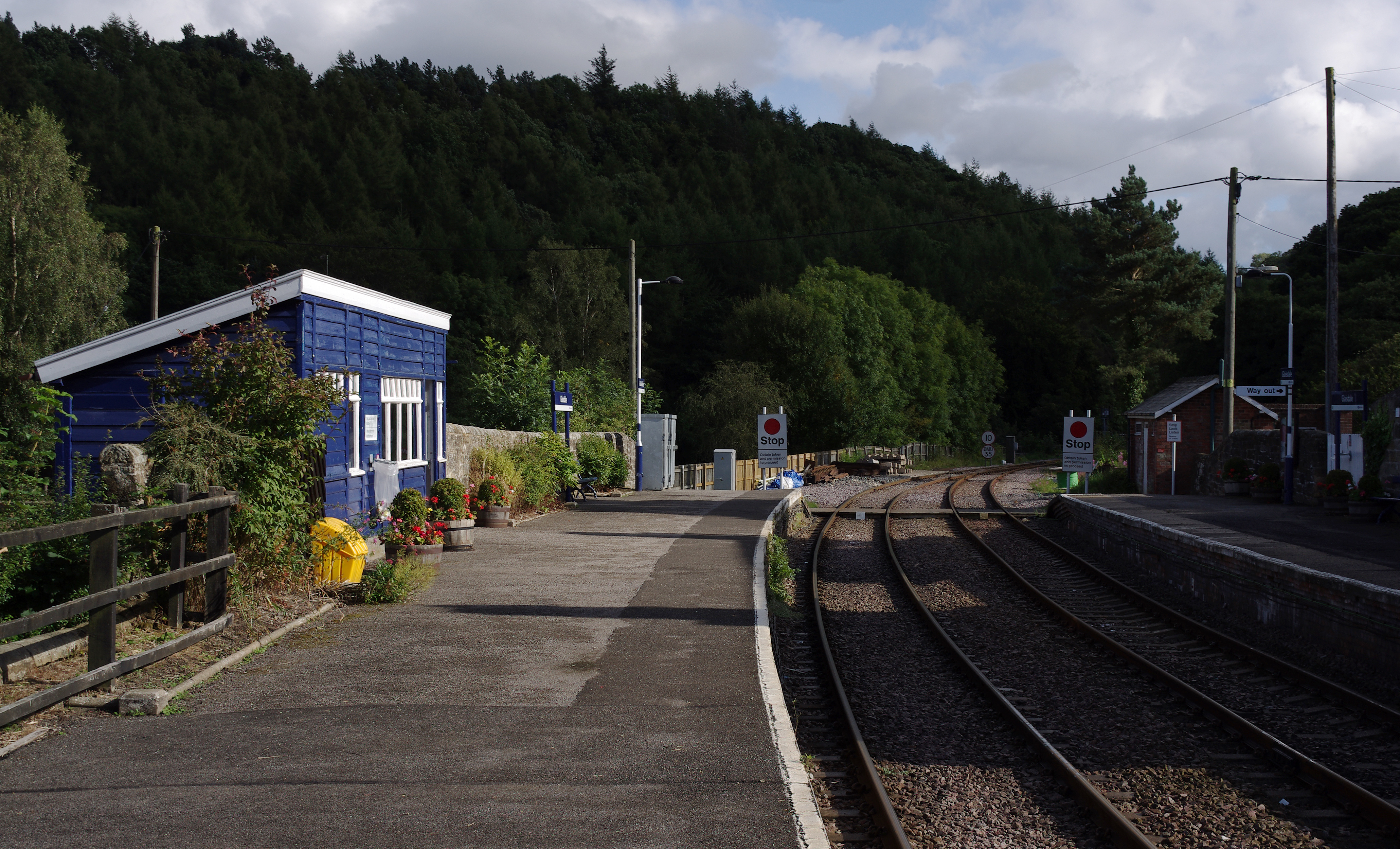
Glaisdale railway station

Glaisdale is a railway station on the Esk Valley Line, which runs between Middlesbrough and Whitby via Nunthorpe. The station, situated 9 miles 33 chains...
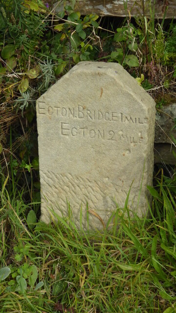
Egton Bridge

Egton Bridge is a village in the Scarborough district of North Yorkshire, England. It lies within the North York Moors National Park, on the River Esk...
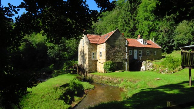
Egton Manor

Egton Manor is an historic country house near the village of Egton Bridge, on the banks of the River Esk in the North Yorkshire Moors. The Grade II listed...

Egton railway station

Egton is a railway station on the Esk Valley Line, which runs between Middlesbrough and Whitby via Nunthorpe. The station, situated 7 miles 66 chains...
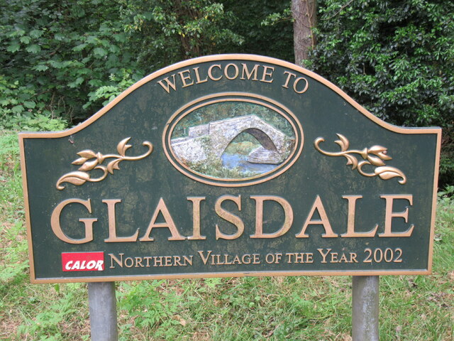
Glaisdale

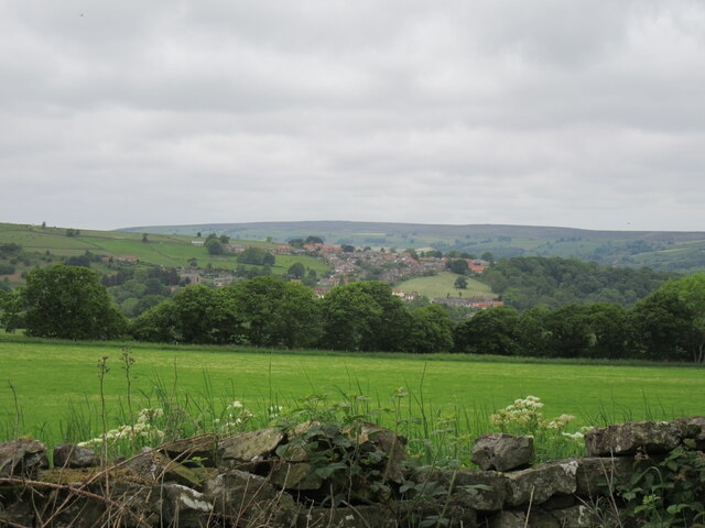
Glaisdale is a village and civil parish in the Scarborough district of North Yorkshire, England, within the North York Moors National Park. It lies at...

St Hilda's Church, Egton

St Hilda's church, Egton, is a Church of England church in Egton, North Yorkshire, built in 1879 and designed by local architect E. H. Smales. St Hilda...
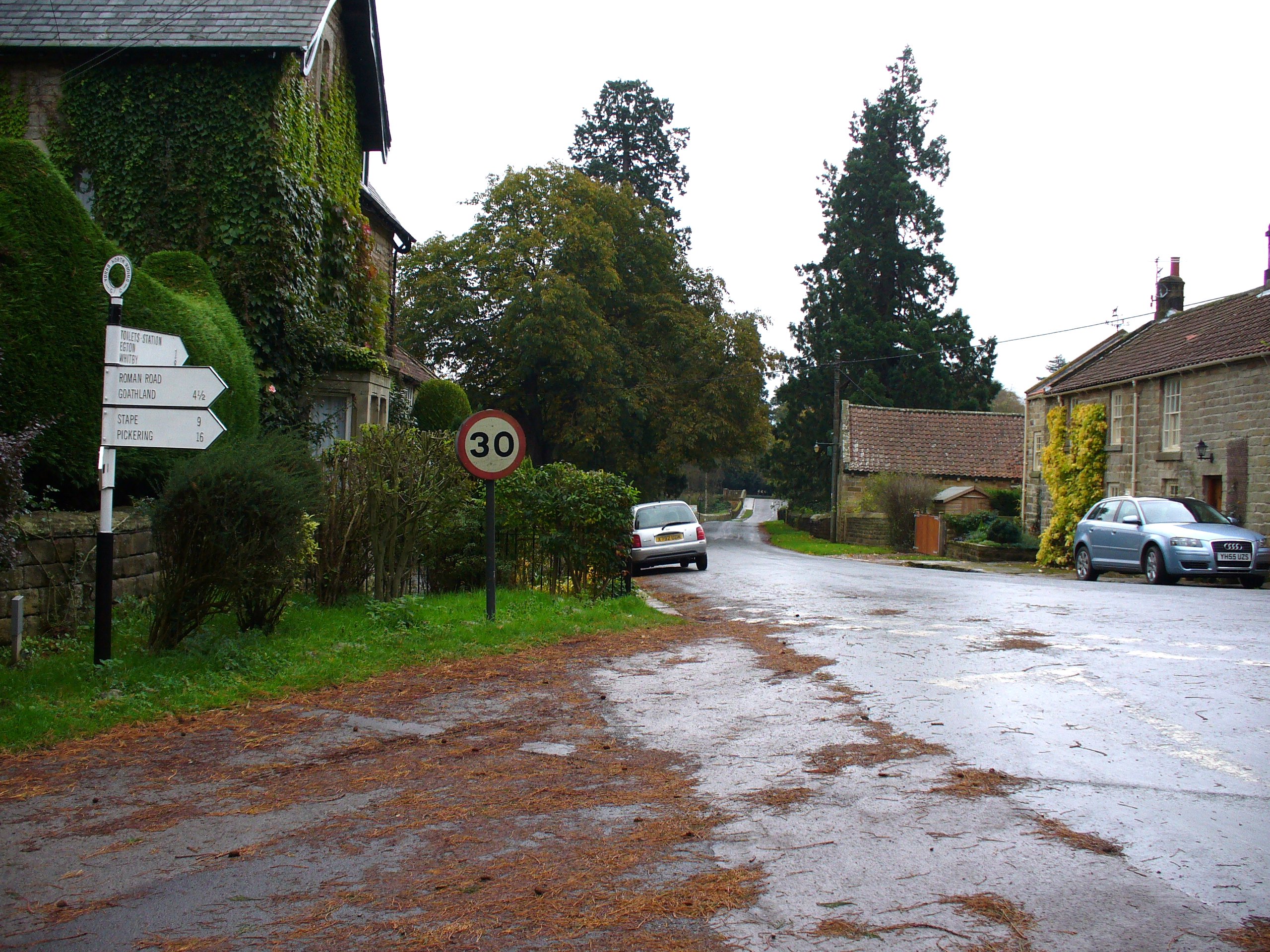
Egton

Egton is a village and civil parish in the Scarborough local administration district of North Yorkshire county, England, about 5 miles (8 km) west of Whitby...

Grosmont, North Yorkshire

Grosmont ( GROH-mont; archaically spelt Growmond) is a village and civil parish situated in Eskdale in the North York Moors National Park, within the boundaries...

Nearby Amenities

Located within 500m of 54.430155,-0.78265117
Barrier: stile
Lat/Long: 54.4296847/-0.7796698
Barrier: stile
Lat/Long: 54.4296274/-0.7803507
Barrier: stile
Lat/Long: 54.4300978/-0.7822756
Information: guidepost
Tourism: information
Lat/Long: 54.4310059/-0.7791576
Information: guidepost
Tourism: information
Lat/Long: 54.4301516/-0.7823015
Barrier: stile
Lat/Long: 54.4298268/-0.7815602
Delves Farm
Place: farm
Lat/Long: 54.4301193/-0.7802906
Passing Place
Lat/Long: 54.4318933/-0.7764341
The data included in this document is from www.openstreetmap.org. The data is made available under ODbL.

Have you been to Delves?

Leave your review of Delves below (or comments, questions and feedback).