Cookston

Settlement in Aberdeenshire

Scotland

Cookston

McDonald Golf Club, 2nd Hole, Par-Mac The second hole at McDonald Golf Course in Ellon, looking to the green.
McDonald Golf Club, 2nd Hole, Par-Mac Credit: Scott Cormie

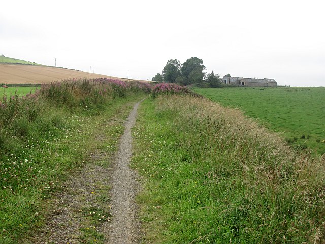
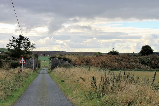
Cookston is a small village located in Aberdeenshire, Scotland. Situated approximately 6 miles northwest of Stonehaven, Cookston is surrounded by picturesque countryside and offers a tranquil rural setting.

The village is home to a tight-knit community, with a population of around 200 residents. The close-knit nature of the community fosters a friendly and welcoming atmosphere, making Cookston an ideal place for those seeking a peaceful lifestyle.

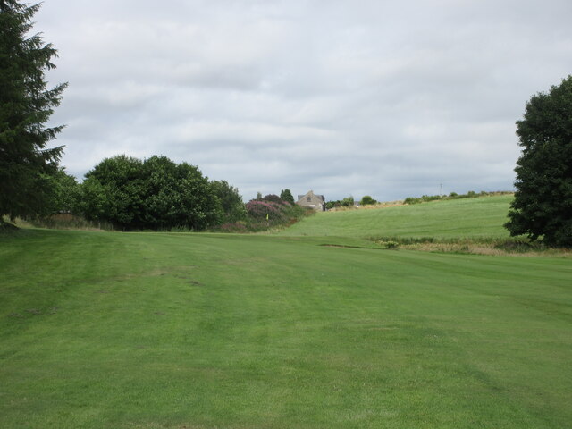
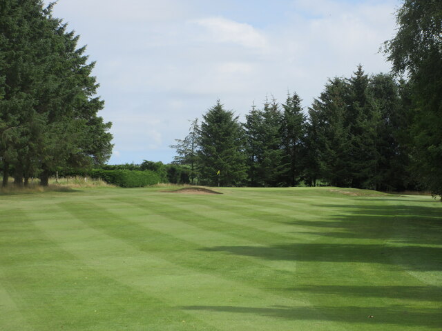
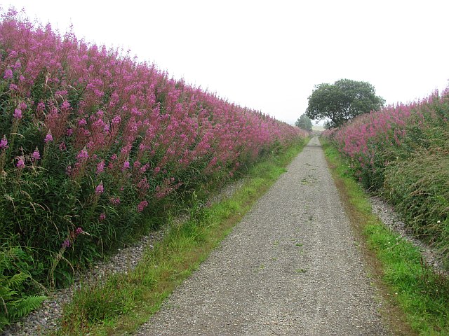
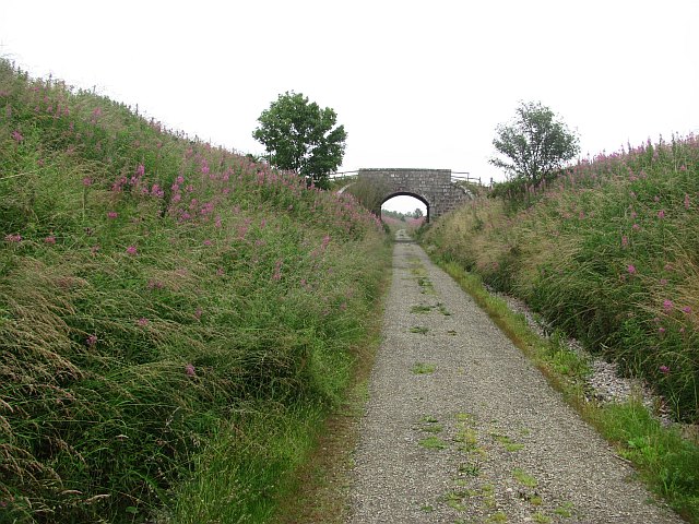
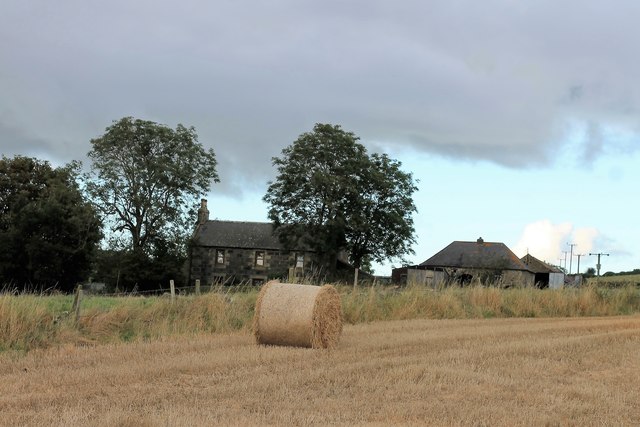
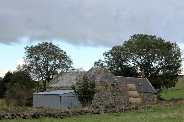
Cookston boasts a rich history, with records dating back to the 18th century. The village is characterized by traditional stone-built houses, which add to its charm and character. The surrounding landscapes provide stunning views, with rolling hills and fertile farmland stretching as far as the eye can see.

Despite its small size, Cookston is well-connected to nearby towns and cities. Stonehaven, with its amenities and services, is just a short drive away, offering residents easy access to shops, schools, and healthcare facilities.

Outdoor enthusiasts will find plenty to do in Cookston and its surroundings. The area offers excellent opportunities for hiking, cycling, and wildlife spotting. The nearby coastline also provides access to beautiful sandy beaches and stunning cliffs, perfect for long walks or picnics.

In conclusion, Cookston is a charming and peaceful village in Aberdeenshire, Scotland. With its friendly community, rich history, and beautiful natural surroundings, it is an attractive place for those seeking a tranquil rural lifestyle.

If you have any feedback on the listing, please let us know in the comments section below.
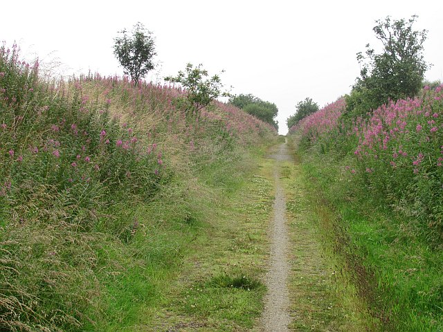
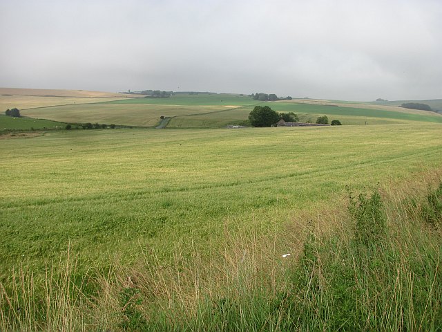
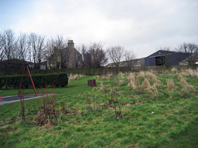
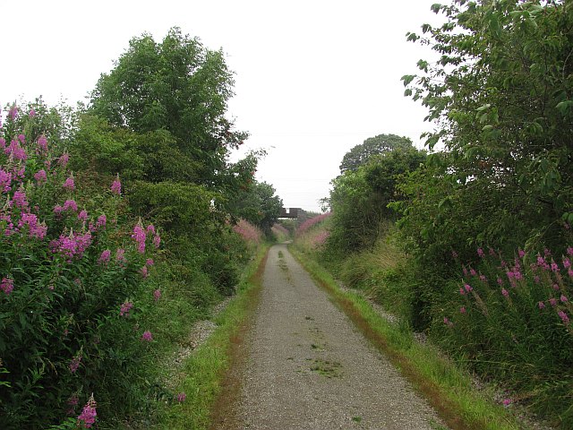
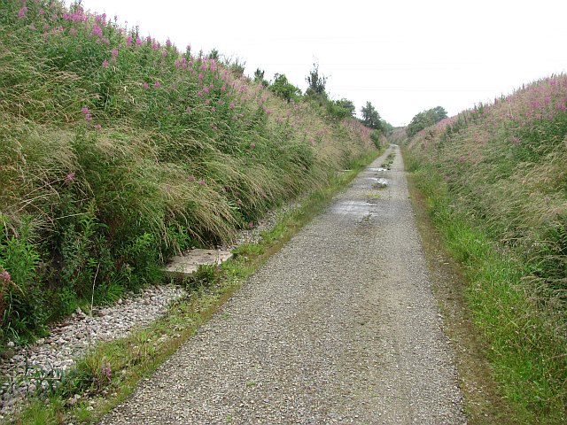
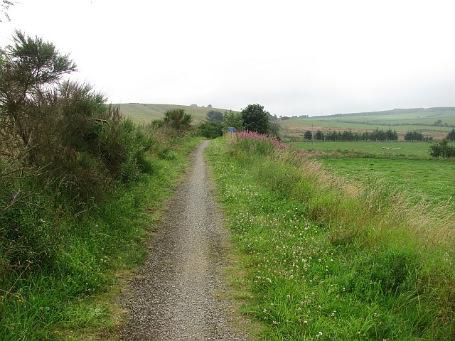
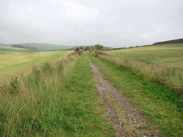
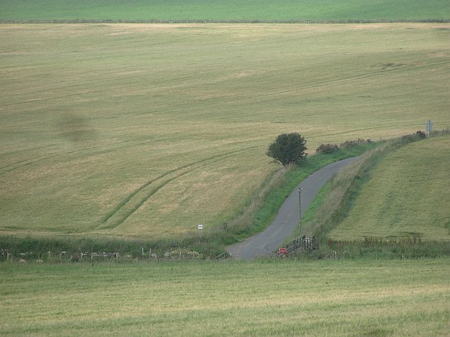
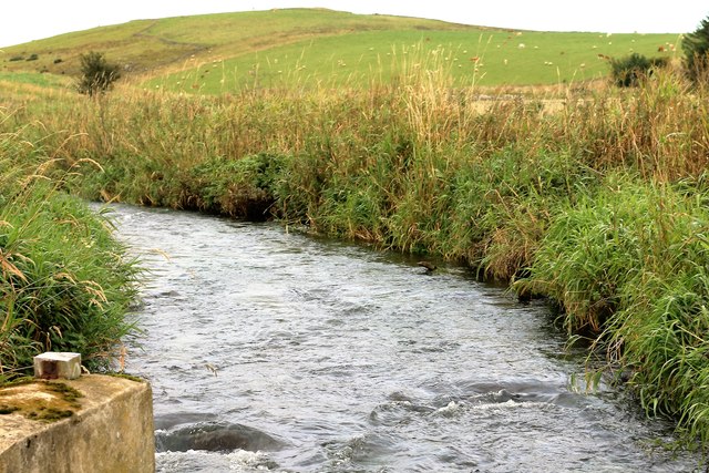
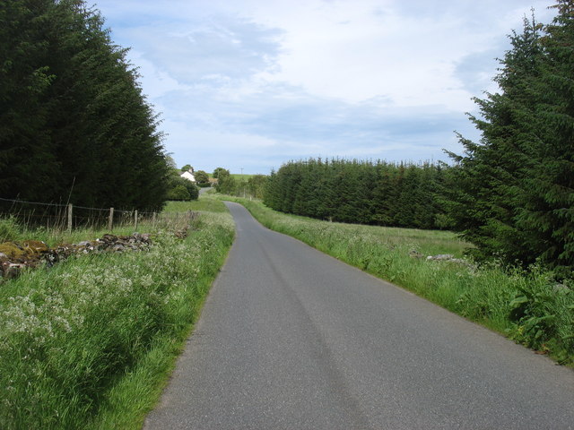
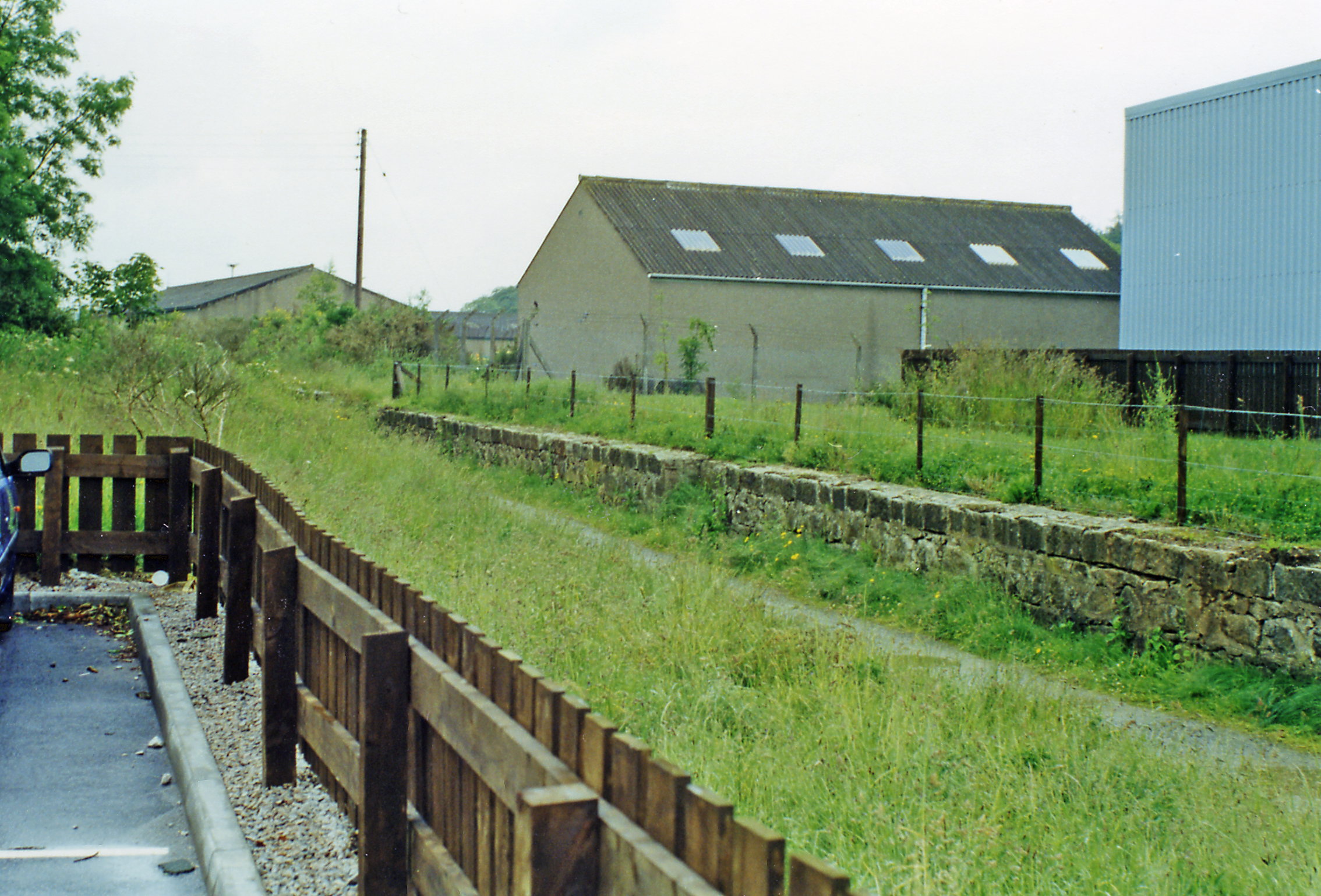
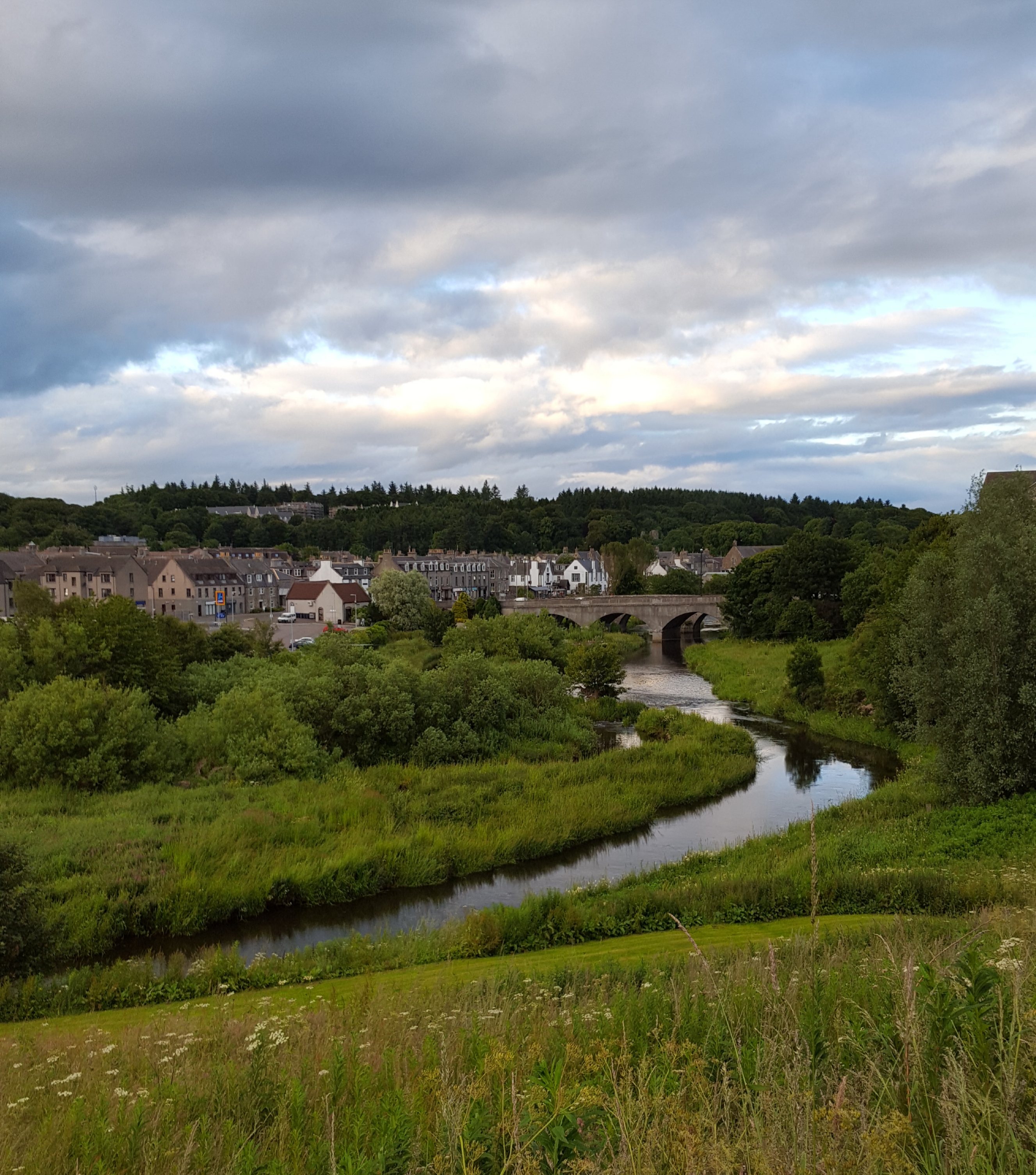
Cookston Images

Images are sourced within 2km of 57.390234/-2.1024925 or Grid Reference NJ9333. Thanks to Geograph Open Source API. All images are credited.

McDonald Golf Club, 2nd Hole, Par-Mac The second hole at McDonald Golf Course in Ellon, looking to the green.
McDonald Golf Club, 2nd Hole, Par-Mac
The second hole at McDonald Golf Course in Ellon, looking to the green.
McDonald Golf Club, 3rd Hole, Caledonian The third hole at McDonald Golf Course in Ellon, looking to the green.
McDonald Golf Club, 3rd Hole, Caledonian
The third hole at McDonald Golf Course in Ellon, looking to the green.
Formartine and Buchan  Way The trackbed north of Ellon has a good wide riding surface, for a while. This cutting, like most of the cuttings on the old railway is full of rosebay willowherb.
Formartine and Buchan Way
The trackbed north of Ellon has a good wide riding surface, for a while. This cutting, like most of the cuttings on the old railway is full of rosebay willowherb.
Formartine and Buchan  Way The trackbed foot/cycle path runs through a long cutting here. The bridge carries a minor road.
Formartine and Buchan Way
The trackbed foot/cycle path runs through a long cutting here. The bridge carries a minor road.
Formartine and Buchan  Way The track surface is still good here, to the north of Ellon.
Formartine and Buchan Way
The track surface is still good here, to the north of Ellon.
Barley, Nether Mill View from the Formartine and Buchan Way which has emerged from a series of cuttings north of Ellon. The path has a distinct air of loneliness, other than a farmer and some commuters passing when I was having my breakfast near Newmachair, I only met one other person on the track today. The bad forecast and morning haar gave an edge to the day as well.
Barley, Nether Mill
View from the Formartine and Buchan Way which has emerged from a series of cuttings north of Ellon. The path has a distinct air of loneliness, other than a farmer and some commuters passing when I was having my breakfast near Newmachair, I only met one other person on the track today. The bad forecast and morning haar gave an edge to the day as well.
Auchterellon Farm Looking toward the sheds and house from the adjoining park. The two swing sets have since been removed.
Auchterellon Farm
Looking toward the sheds and house from the adjoining park. The two swing sets have since been removed.
Formartine and Buchan Way A bridge over a cutting at Wardhead. The railway closed in 1979 having played a part in developing some of the North Sea oil fields. It is now an 80km cycle path.
Formartine and Buchan Way
A bridge over a cutting at Wardhead. The railway closed in 1979 having played a part in developing some of the North Sea oil fields. It is now an 80km cycle path.
Formartine and Buchan Way The old railway trackbed is now a cycle path and is also used for routing utilities.
Formartine and Buchan Way
The old railway trackbed is now a cycle path and is also used for routing utilities.
Formartine and Buchan Way An 80km cycle path between Peterhead, Fraserburgh and Aberdeen which uses a railway closed in 1979. One of the occasional annoying "cyclists dismount" signs can be seen.
Formartine and Buchan Way
An 80km cycle path between Peterhead, Fraserburgh and Aberdeen which uses a railway closed in 1979. One of the occasional annoying "cyclists dismount" signs can be seen.
Formartine and Buchan Way The haar had lifted, revealing a near empty landscape of rolling barley fields. The railway closed in 1979 and is now an 80km footpath/off road cycle route.
Formartine and Buchan Way
The haar had lifted, revealing a near empty landscape of rolling barley fields. The railway closed in 1979 and is now an 80km footpath/off road cycle route.
Barley, Nether Mill A minor road crosses the Ebrie Burn by a ford.
Barley, Nether Mill
A minor road crosses the Ebrie Burn by a ford.
Gallowhill of Ellon The former Formartine and Buchan railway looking towards Gallowhill of Ellon and in the direction of Ellon which was the next station to the south.
Gallowhill of Ellon
The former Formartine and Buchan railway looking towards Gallowhill of Ellon and in the direction of Ellon which was the next station to the south.
Bridge No More The Formartine Line walkway at Hilton. Once part of the rail network the Formartine line has been defunct for some time now and the bridge long removed, only the embankment surviving.. There have been plans raised recently for reviving the line, so watch this space!
Bridge No More
The Formartine Line walkway at Hilton. Once part of the rail network the Formartine line has been defunct for some time now and the bridge long removed, only the embankment surviving.. There have been plans raised recently for reviving the line, so watch this space!
Bale by Nethermill A post harvest bale lying by Nethermill farmhouse.
Bale by Nethermill
A post harvest bale lying by Nethermill farmhouse.
Nethermill Steading An old mill building now used as part of a farm.
Nethermill Steading
An old mill building now used as part of a farm.
Ebrie Burn The Ebrie as it flows near Nethermill.
Ebrie Burn
The Ebrie as it flows near Nethermill.
Minor road north of Ellon
Show me another place!

Cookston is located at Grid Ref: NJ9333 (Lat: 57.390234, Lng: -2.1024925)

Unitary Authority: Aberdeenshire

Police Authority: North East

What 3 Words

///escalates.lush.mistress. Near Ellon, Aberdeenshire

Nearby Locations

Cookston

Related Wikis

Ellon railway station

Ellon railway station was a railway station in Ellon, Aberdeenshire, Scotland. == History == Ellon Railway Station (originally Ellon for Cruden) was situated...

Ellon, Aberdeenshire

Ellon (Scottish Gaelic: Eilean) is a town in Aberdeenshire, Scotland, approximately 16 miles (26 kilometres) north of Aberdeen, lying on the River Ythan...

Arnage railway station

Arnage railway station was a railway station in Arnage, Aberdeenshire. == History == The station was opened on 18 July 1861 by the Formartine and Buchan...

Cairnleith Crofts

Cairnleith Crofts is a group of dwellings in Ythanbank, Aberdeenshire, Scotland. == References ==

Ythanbank

Ythanbank is a village in Aberdeenshire, Scotland. It is situated on the east bank of the River Ythan on the B9005, 4 miles (6.4 km) north-west of the...

Arnage Castle

Arnage Castle is a country house, incorporating a Z-plan tower house, located around 4 miles (6.4 km) north of Ellon, in Aberdeenshire, north-east Scotland...

Ellon United F.C.

Ellon United Football Club is a Scottish football club from the town of Ellon, Aberdeenshire. Members of the Scottish Junior Football Association, they...

Ellon Academy

Ellon Academy is a secondary comprehensive school in the Aberdeenshire town of Ellon. In August 2015, the school moved to its new purpose-built campus...

Nearby Amenities

Located within 500m of 57.390234,-2.1024925
Generator Method: wind_turbine
Generator Output Electricity: yes
Generator Source: wind
Generator Type: horizontal_axis
Power: generator
Lat/Long: 57.3928685/-2.1055477
Generator Method: wind_turbine
Generator Output Electricity: yes
Generator Source: wind
Generator Type: horizontal_axis
Power: generator
Lat/Long: 57.3927234/-2.1045211
Power: pole
Lat/Long: 57.3919211/-2.0950687
Power: pole
Lat/Long: 57.3919177/-2.096216
Power: pole
Lat/Long: 57.3919781/-2.0973442
Power: pole
Lat/Long: 57.3920146/-2.0985127
Power: pole
Lat/Long: 57.3920523/-2.0996197
Material: wood
Power: pole
Lat/Long: 57.3920671/-2.1007078
Material: wood
Power: pole
Lat/Long: 57.3921002/-2.1018804
Material: wood
Power: pole
Lat/Long: 57.3921207/-2.1028859
Power: pole
Lat/Long: 57.3921469/-2.1038427
Power: pole
Lat/Long: 57.3859262/-2.1039481
Power: pole
Lat/Long: 57.3865415/-2.1038624
Power: pole
Lat/Long: 57.3870982/-2.1038645
Power: pole
Lat/Long: 57.3876437/-2.103854
Power: pole
Lat/Long: 57.3882162/-2.103854
Power: pole
Lat/Long: 57.3887887/-2.1038373
Power: pole
Lat/Long: 57.3893893/-2.1039837
Power: pole
Lat/Long: 57.3899967/-2.104128
Power: pole
Lat/Long: 57.3906931/-2.1040234
Power: pole
Lat/Long: 57.3914222/-2.1039502
Power: pole
Lat/Long: 57.3928059/-2.103785
Power: pole
Lat/Long: 57.3933378/-2.1037558
Power: pole
Lat/Long: 57.39406/-2.1037056
Power: pole
Lat/Long: 57.3867179/-2.097765
Power: pole
Lat/Long: 57.3872678/-2.0975872
Power: pole
Lat/Long: 57.3878268/-2.0973907
Power: pole
Lat/Long: 57.3884083/-2.0981225
Power: pole
Lat/Long: 57.3890045/-2.0988753
Power: pole
Lat/Long: 57.3896051/-2.0996281
Power: pole
Lat/Long: 57.3902159/-2.0986955
Power: pole
Lat/Long: 57.3908447/-2.0977357
Power: pole
Lat/Long: 57.3913732/-2.0969892
The data included in this document is from www.openstreetmap.org. The data is made available under ODbL.

Have you been to Cookston?

Leave your review of Cookston below (or comments, questions and feedback).