Cookley

Settlement in Suffolk East Suffolk

England

Cookley

Grazing off Linstead Road
Grazing off Linstead Road Credit: JThomas

Cookley is a charming village located in Suffolk, England. Situated approximately 4 miles southeast of Halesworth, the village is nestled in the picturesque countryside of the East Anglia region. With a population of around 400 residents, Cookley offers a peaceful and close-knit community atmosphere.

The village boasts a rich history dating back centuries, with evidence of human settlement found from the Iron Age and Roman times. Cookley's historical significance is reflected in its architectural heritage, as the village features several beautiful period houses and buildings that have been well-preserved over the years.

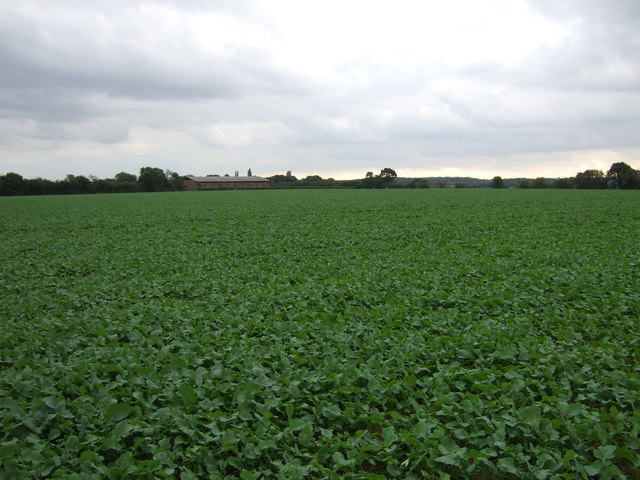
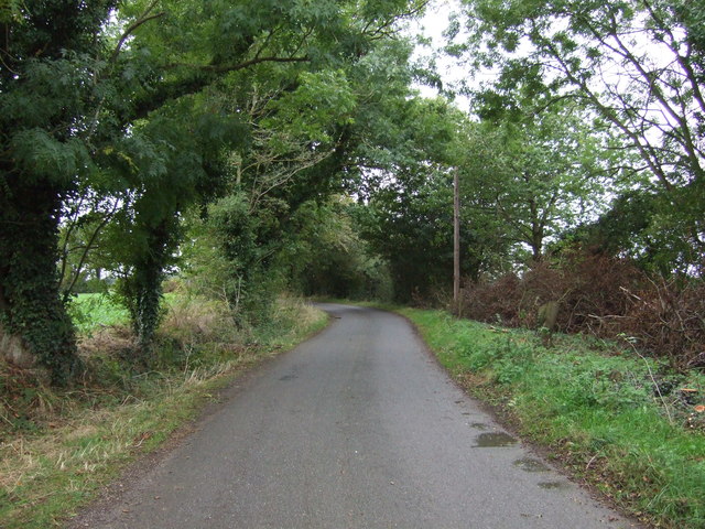
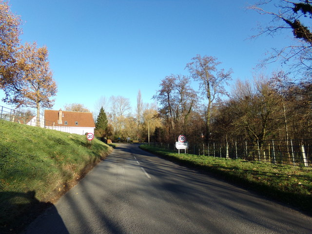
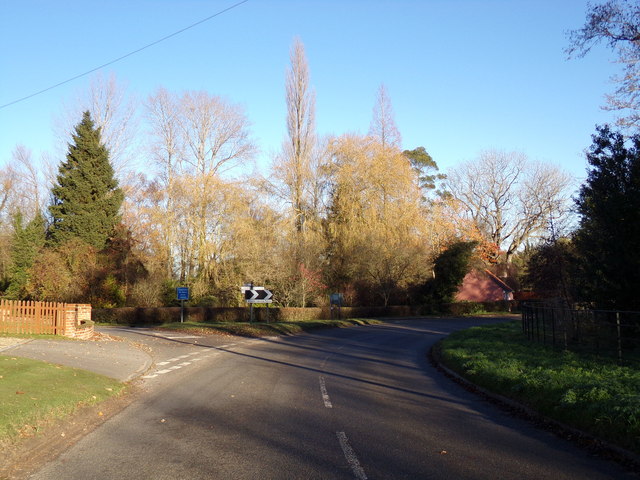
Nature lovers will find Cookley a delightful destination, as the village is surrounded by stunning landscapes and picturesque countryside. The nearby Suffolk Coast and Heaths Area of Outstanding Natural Beauty is easily accessible, offering residents and visitors ample opportunities for outdoor activities such as hiking, birdwatching, and cycling.

Cookley is well-equipped with essential amenities to cater to its residents' needs. The village includes a primary school, a village hall, and a pub, which serves as a popular gathering place for locals. Additionally, a bus service connects Cookley to nearby towns, providing convenient transportation options.

Although Cookley may be a relatively small village, it offers a warm and welcoming community spirit that is cherished by its residents. The village's idyllic setting, rich history, and proximity to stunning natural landscapes make it a truly special place to live or visit in Suffolk.

If you have any feedback on the listing, please let us know in the comments section below.
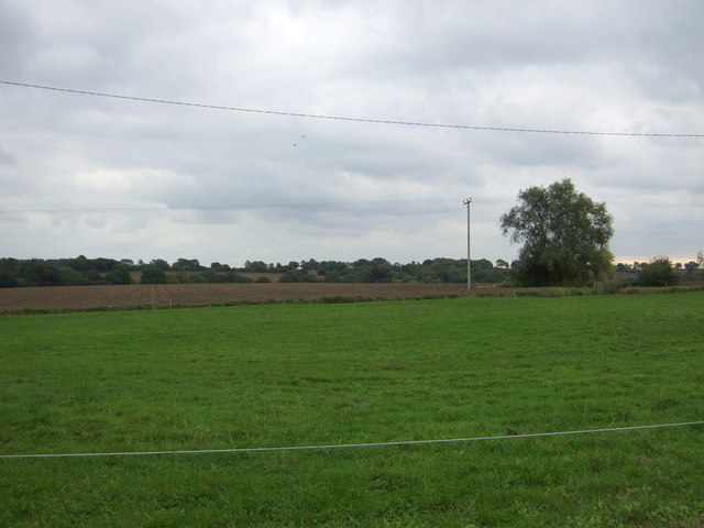
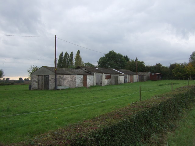
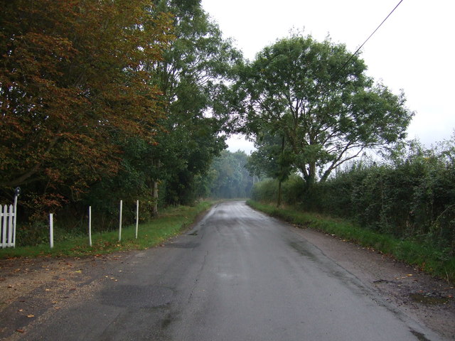
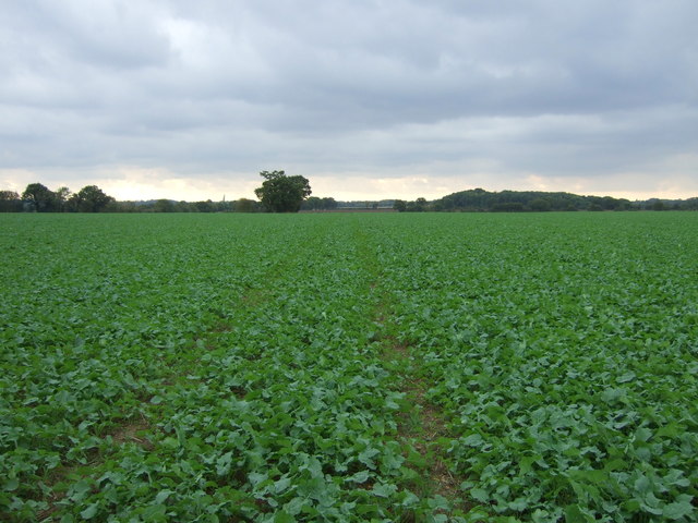
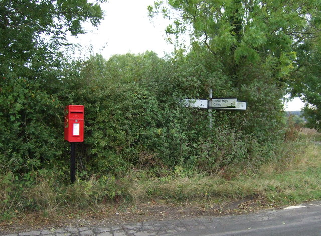
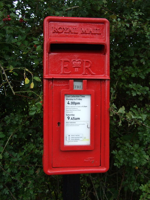
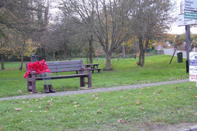
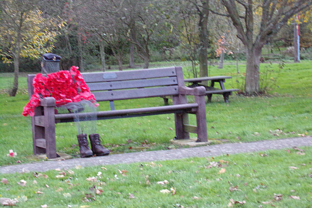
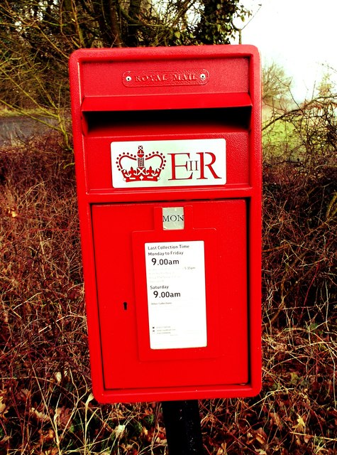
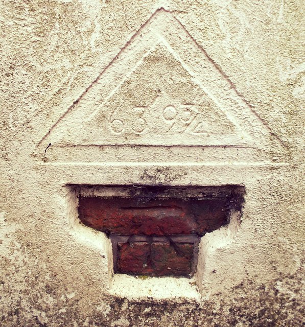
Cookley Images

Images are sourced within 2km of 52.325447/1.4438781 or Grid Reference TM3475. Thanks to Geograph Open Source API. All images are credited.

Grazing off Linstead Road
Farm buildings Linstead Road
Linstead Road Heading south towards Heveningham.
Linstead Road
Heading south towards Heveningham.
Track in crop field
Track in crop field
Crop field towards Cookley Green
Mary's Lane Heading west towards Cratfield.
Mary's Lane
Heading west towards Cratfield.
Elizabeth II postbox on Linstead Road, Cookley Green Postbox No. IP19 5512.

See <a href="https://www.geograph.org.uk/photo/5170349">TM3376 : Close up, Elizabeth II postbox on Linstead Road, Cookley Green</a> for close up.

See <a href="https://www.geograph.org.uk/photo/5170350">TM3376 : Linstead Road, Cookley Green</a> for context.
Elizabeth II postbox on Linstead Road, Cookley Green
Close up, Elizabeth II postbox on Linstead Road, Cookley Green Postbox No. IP19 5512.

See <a href="https://www.geograph.org.uk/photo/5170345">TM3376 : Elizabeth II postbox on Linstead Road, Cookley Green</a> for wider view.
Close up, Elizabeth II postbox on Linstead Road, Cookley Green
Postbox No. IP19 5512. See TM3376 : Elizabeth II postbox on Linstead Road, Cookley Green for wider view.
Linstead Road, Cookley Green Showing position of Postbox No. IP19 5512.

See <a href="https://www.geograph.org.uk/photo/5170345">TM3376 : Elizabeth II postbox on Linstead Road, Cookley Green</a> for postbox.
Linstead Road, Cookley Green
Showing position of Postbox No. IP19 5512. See TM3376 : Elizabeth II postbox on Linstead Road, Cookley Green for postbox.
Entering Walpole on the B1117 <span class="nowrap"><a title="https://en.wikipedia.org/wiki/Walpole,_Suffolk" rel="nofollow ugc noopener" href="https://en.wikipedia.org/wiki/Walpole,_Suffolk">Link</a><img style="margin-left:2px;" alt="External link" title="External link - shift click to open in new window" src="https://s1.geograph.org.uk/img/external.png" width="10" height="10"/></span>
Entering Walpole on the B1117
Walpole Village Name sign on the B1117 <span class="nowrap"><a title="https://en.wikipedia.org/wiki/Walpole,_Suffolk" rel="nofollow ugc noopener" href="https://en.wikipedia.org/wiki/Walpole,_Suffolk">Link</a><img style="margin-left:2px;" alt="External link" title="External link - shift click to open in new window" src="https://s1.geograph.org.uk/img/external.png" width="10" height="10"/></span>
Walpole Village Name sign on the B1117
B1117 Church Hill, Walpole At the junction with Cookley Road
B1117 Church Hill, Walpole
At the junction with Cookley Road
Walpole Village Name sign on the B1117 <span class="nowrap"><a title="https://en.wikipedia.org/wiki/Walpole,_Suffolk" rel="nofollow ugc noopener" href="https://en.wikipedia.org/wiki/Walpole,_Suffolk">Link</a><img style="margin-left:2px;" alt="External link" title="External link - shift click to open in new window" src="https://s1.geograph.org.uk/img/external.png" width="10" height="10"/></span>
Walpole Village Name sign on the B1117
Poppy Man On Peasenhall Road & Walpole Village Green at the junction with the B1117 Church Hill
Poppy Man
On Peasenhall Road & Walpole Village Green at the junction with the B1117 Church Hill
Poppy Man On Peasenhall Road & Walpole Village Green at the junction with the B1117 Church Hill
(Close up)
Poppy Man
On Peasenhall Road & Walpole Village Green at the junction with the B1117 Church Hill (Close up)
Huntingfield Brick Kiln Lane Post Box Huntingfield Brick Kiln Lane Post Box.
Huntingfield Brick Kiln Lane Post Box
Huntingfield Brick Kiln Lane Post Box.
Cut Mark Huntingfield The Forge Cut Mark Huntingfield The Forge NW face.
Cut Mark Huntingfield The Forge
Cut Mark Huntingfield The Forge NW face.
Cut Mark Huntingfield St Marys Church Cut Mark Huntingfield St Marys Church NW angle of tower buttress.
Cut Mark Huntingfield St Marys Church
Cut Mark Huntingfield St Marys Church NW angle of tower buttress.
Show me another place!

Cookley is located at Grid Ref: TM3475 (Lat: 52.325447, Lng: 1.4438781)

Administrative County: Suffolk

District: East Suffolk

Police Authority: Suffolk

What 3 Words

///executive.diplomas.cultivation. Near Cookley, Suffolk

Nearby Locations

Cookley

Related Wikis

Cookley, Suffolk

Cookley is a small village and civil parish in the East Suffolk district, in the east of the county of Suffolk, England. Nearby settlements include the...

Huntingfield, Suffolk

Huntingfield is a village near the B1117 road, in the East Suffolk district, in the county of Suffolk, England. The village is close to the source of the...
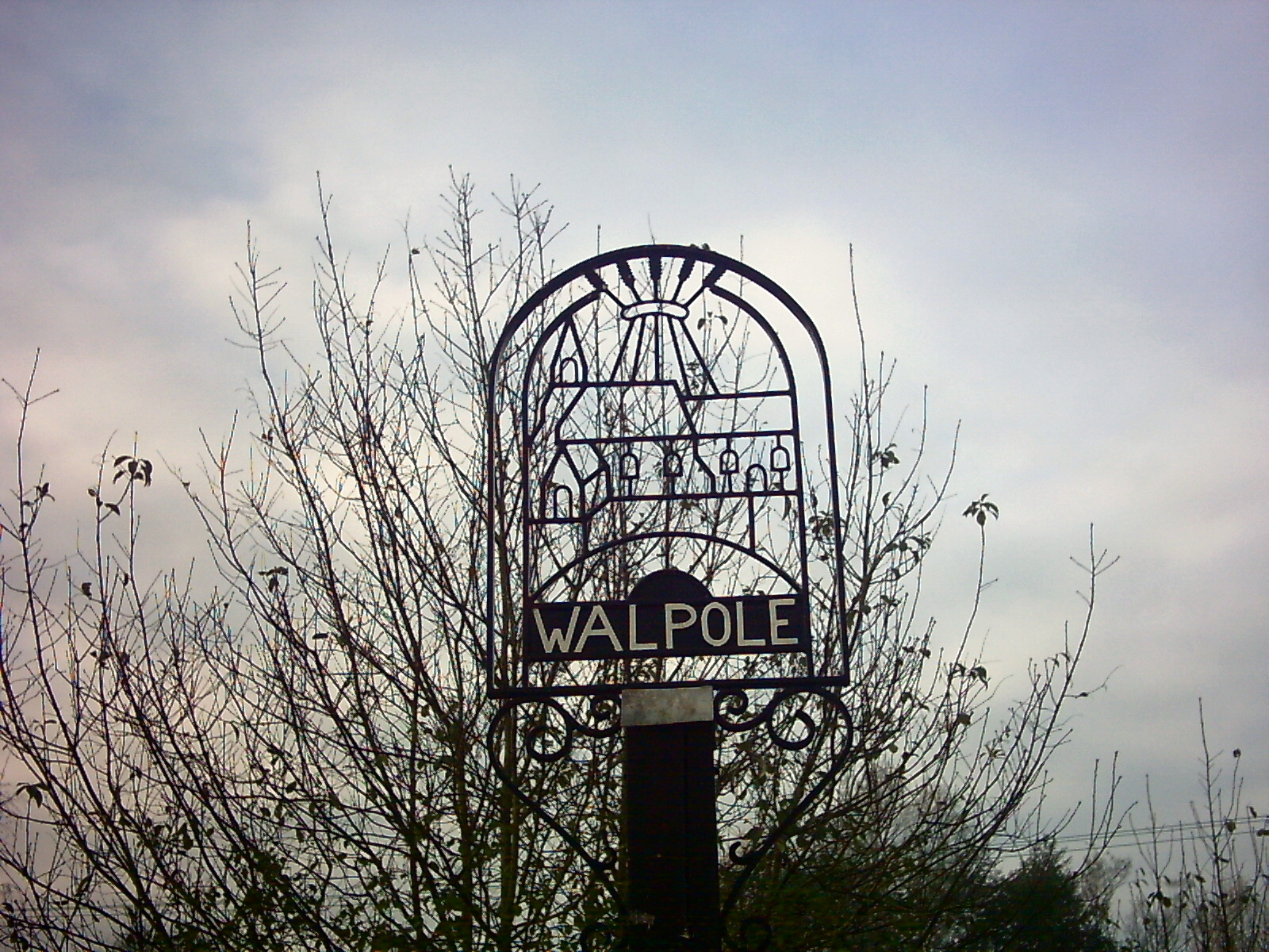
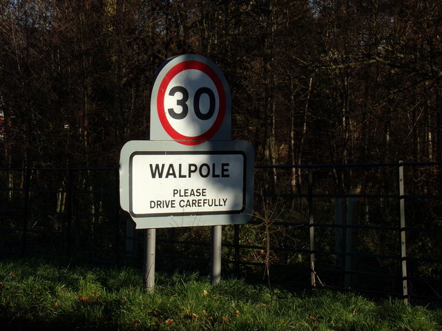
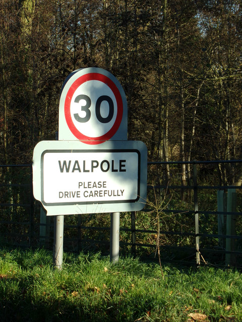
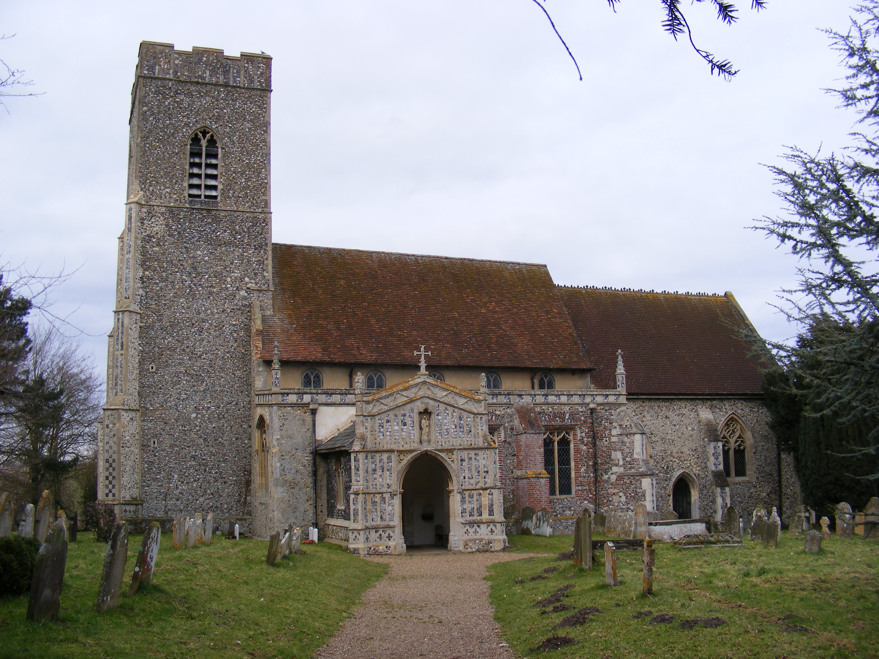
Walpole, Suffolk

Walpole is a small village and civil parish in the district of East Suffolk in Suffolk, England. Walpole has a parish church (dedicated to St Mary), a...
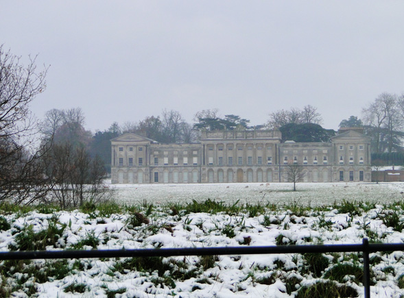
Heveningham Hall

Heveningham Hall is a Grade I listed building in Heveningham, Suffolk. The first house on the site was built for the politician and regicide William Heveningham...

Related Videos

Heveningham Hall Aviation & Motorsport Concours D'Elegance July 2018

Heveningham Hall Aviation & Motorsport Concours D'Elegance 2018. 1st July 2018 Location : Heveningham Hall, Suffolk, UK ...

Best of spitfire display 2023!!

This display was performed at Heveningham hall country fair!! If you want to check out more plane content feel free to go to my ...

Nearby Amenities

Located within 500m of 52.325447,1.4438781
Cookley
Place: hamlet
Source: NPE
Wikidata: Q3544583
Wikipedia: en:Cookley, Suffolk
Lat/Long: 52.3253708/1.446872
Turning Circle
Lat/Long: 52.3262097/1.4474747
Booth: K6
Covered: booth
Disused Amenity: telephone
Man Made: telephone_box
Lat/Long: 52.3252836/1.4461842
Bench
Lat/Long: 52.3253002/1.4462307
Advertising: board
Lat/Long: 52.3252612/1.446443
The data included in this document is from www.openstreetmap.org. The data is made available under ODbL.

Have you been to Cookley?

Leave your review of Cookley below (or comments, questions and feedback).