Butterrow
Settlement in Gloucestershire Stroud
England
Butterrow
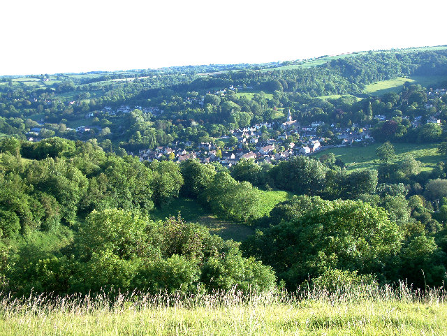
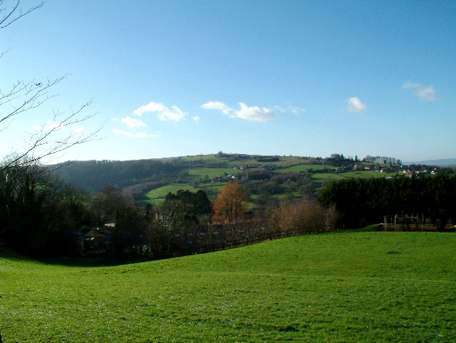
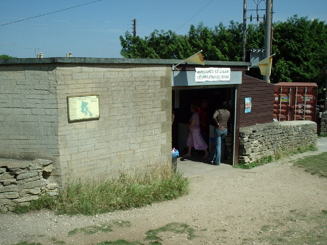
Butterrow is a small village located in the county of Gloucestershire, England. Situated in the Cotswolds, a designated Area of Outstanding Natural Beauty, Butterrow is known for its picturesque countryside and charming rural setting. The village is nestled amidst rolling hills and lush green fields, providing residents and visitors with breathtaking views of the surrounding landscape.
The community of Butterrow is relatively small, with a population of around 500 people. It offers a peaceful and tranquil environment, making it an ideal place for those seeking a quieter way of life. The village is predominantly residential, consisting of traditional stone cottages and houses that add to its quaint and rustic charm.
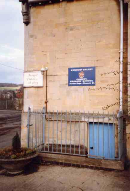
Despite its size, Butterrow is well-served in terms of amenities. The village boasts a local pub, the Butterrow Inn, where residents can enjoy a pint of ale or a hearty meal. There is also a village hall that serves as a hub for various community events and gatherings.
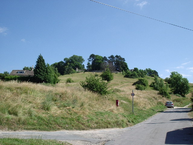
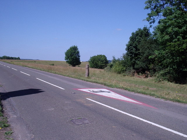
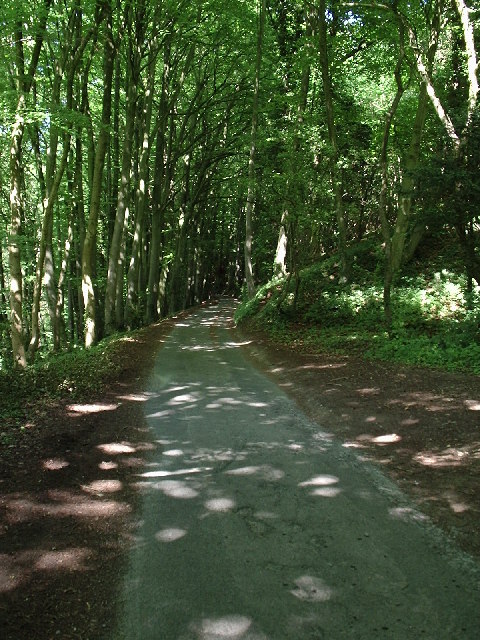
For outdoor enthusiasts, Butterrow is surrounded by numerous walking and cycling trails, allowing visitors to explore the stunning countryside at their leisure. In addition, the nearby town of Stroud offers a range of shopping and leisure facilities, including supermarkets, restaurants, and a farmers' market.
Overall, Butterrow is a hidden gem in Gloucestershire, offering a peaceful and idyllic setting for those who appreciate the beauty of rural England.
If you have any feedback on the listing, please let us know in the comments section below.
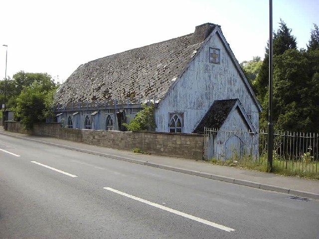
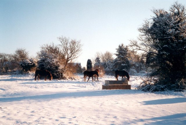
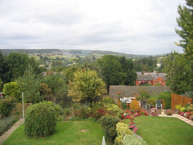
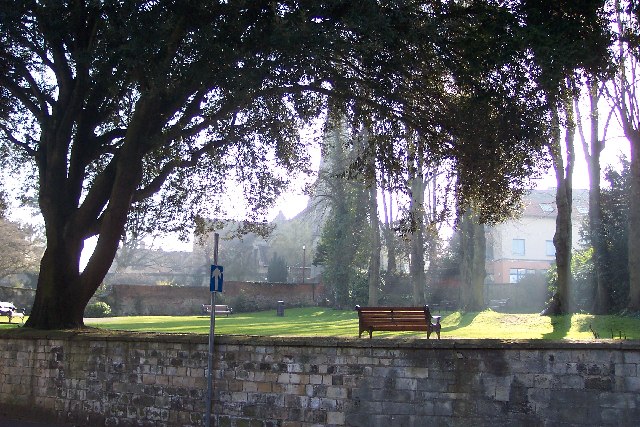
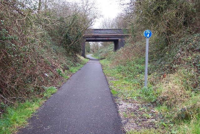
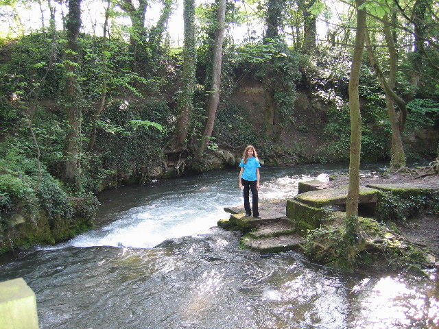
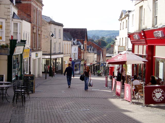
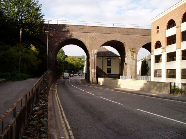
Butterrow Images
Images are sourced within 2km of 51.734927/-2.2098074 or Grid Reference SO8504. Thanks to Geograph Open Source API. All images are credited.


Butterrow is located at Grid Ref: SO8504 (Lat: 51.734927, Lng: -2.2098074)
Administrative County: Gloucestershire
District: Stroud
Police Authority: Gloucestershire
What 3 Words
///librarian.fortress.thumbnail. Near Stroud, Gloucestershire
Nearby Locations
Related Wikis

Bowbridge Crossing Halt railway station
Bowbridge Crossing Halt was opened on 1 May 1905 on what is now the Golden Valley Line between Kemble and Stroud. This line was opened in 1845 as the Cheltenham...
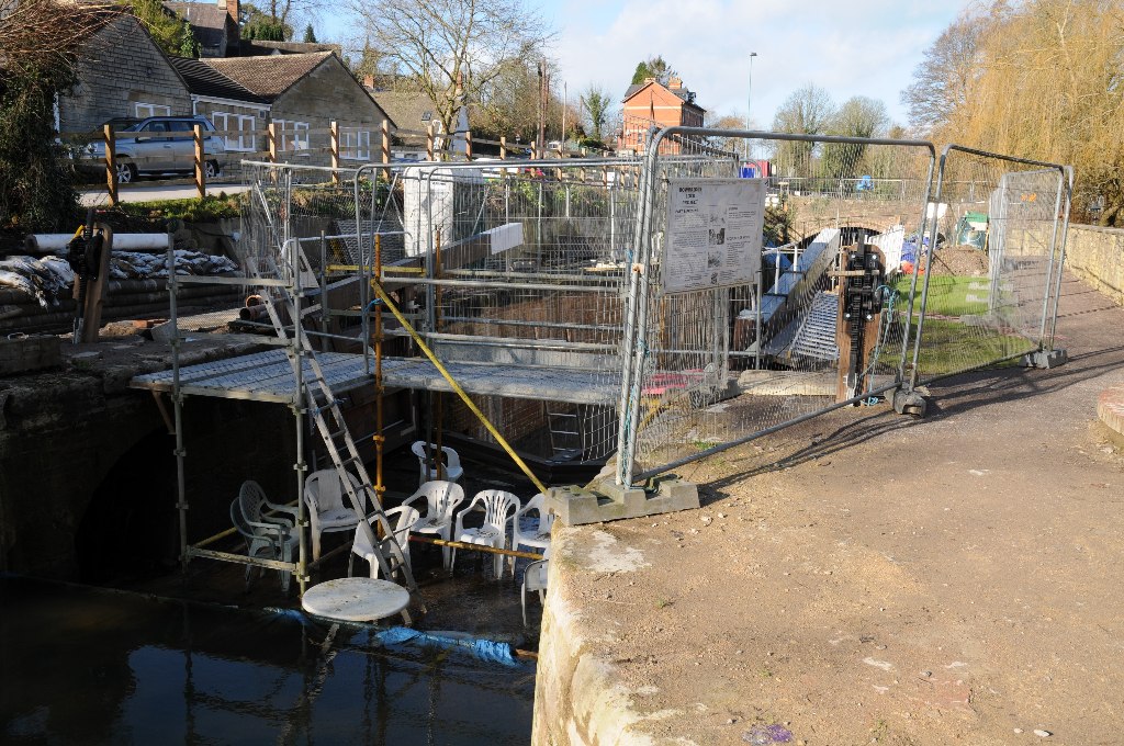
Bowbridge
Bowbridge is a village in Gloucestershire, England, on the outskirts of Stroud. Bowbridge Lock on the Thames and Severn Canal is in the process of restoration...

Rodborough Common, Gloucestershire
Rodborough Common is a 116.0-hectare (287-acre) biological and geological Site of Special Scientific Interest in Gloucestershire, notified in 1954. The...

Ham Mill Halt railway station
Ham Mill Halt was opened on 12 October 1903 on what is now the Golden Valley Line between Kemble and Stroud. This line was opened in 1845 as the Cheltenham...
Nearby Amenities
Located within 500m of 51.734927,-2.2098074Have you been to Butterrow?
Leave your review of Butterrow below (or comments, questions and feedback).