Bradley

Settlement in Cumberland Eden

England

Bradley

Ousby - St Luke's Church
Ousby - St Luke's Church Credit: Colin Park

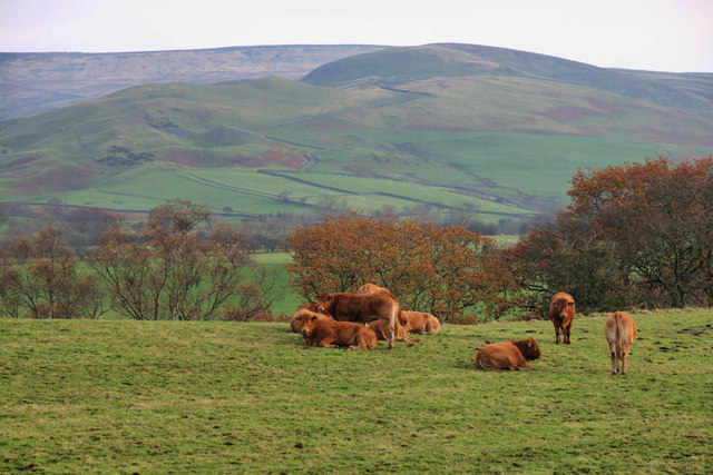
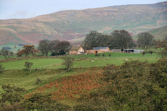
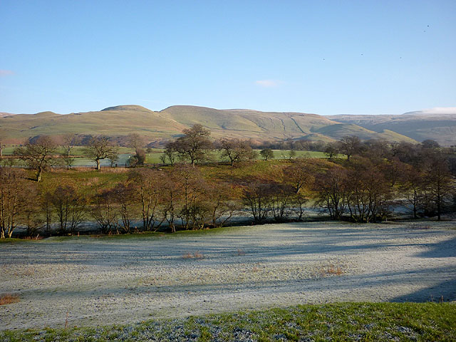
Bradley, Cumberland is a small village located in the county of Cumbria, England. Situated in the northern part of the Lake District National Park, it is surrounded by picturesque countryside and stunning natural beauty. The village is nestled in the valley of the River Derwent, offering breathtaking views of rolling hills and green landscapes.

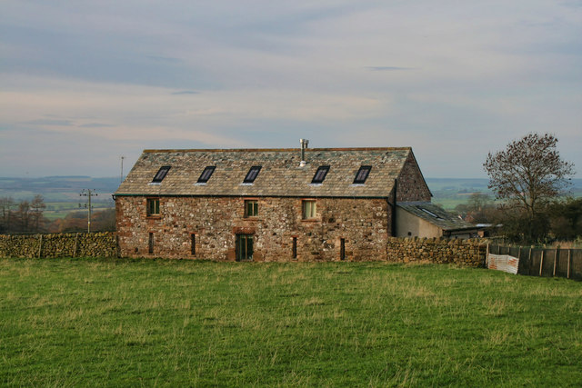
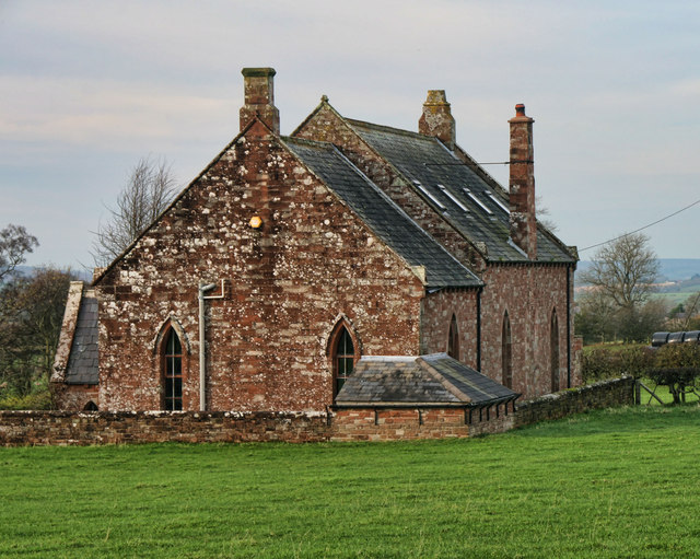
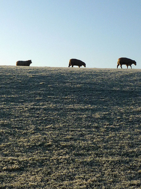
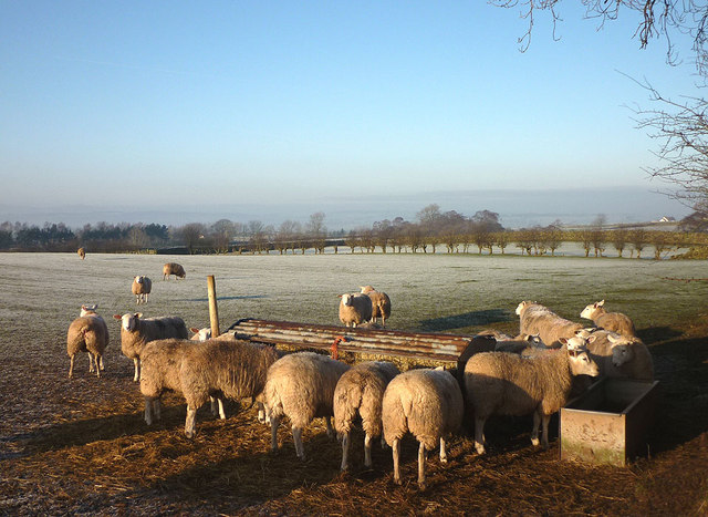
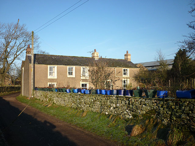
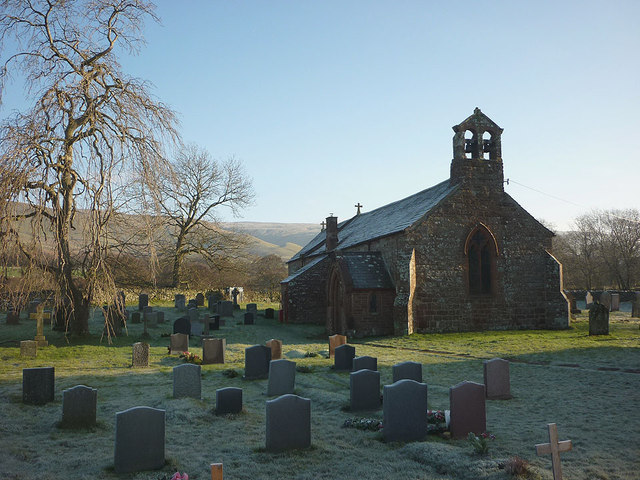
Despite its small size, Bradley has a rich history that dates back centuries. The village is known for its traditional stone cottages, which add to its rustic charm and character. Agriculture has played a significant role in the local economy, with farming and livestock rearing being the primary occupations for many residents.

Bradley is home to a close-knit community, with a small population of friendly and welcoming people. The village boasts a number of amenities such as a local pub, a village hall, and a primary school, ensuring that the needs of its residents are met.

For outdoor enthusiasts, Bradley provides a perfect base for exploring the surrounding countryside. The village is located near several notable landmarks, including the stunning Derwentwater lake, which offers opportunities for fishing, boating, and hiking. The nearby fells and mountains provide ample opportunities for outdoor activities such as walking, climbing, and mountain biking.

Overall, Bradley, Cumberland is a charming and idyllic village that offers a peaceful and picturesque setting for those seeking a rural escape in the heart of the Lake District National Park.

If you have any feedback on the listing, please let us know in the comments section below.
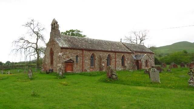
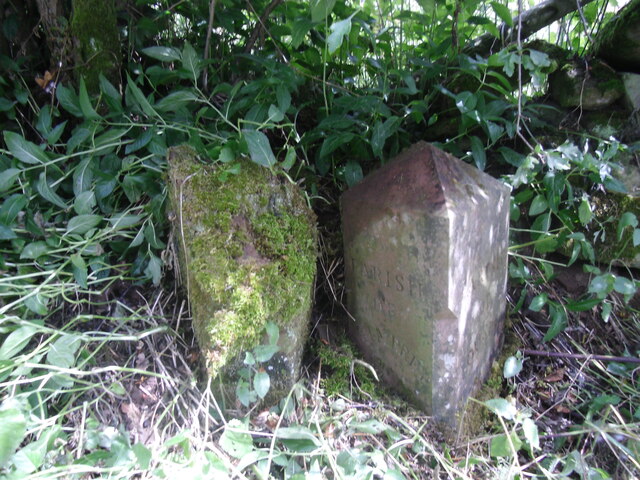
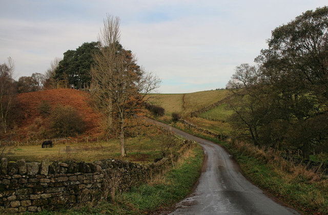
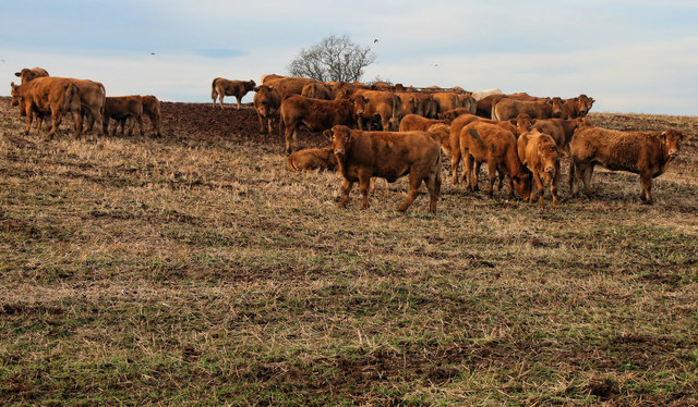
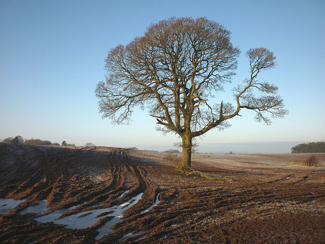
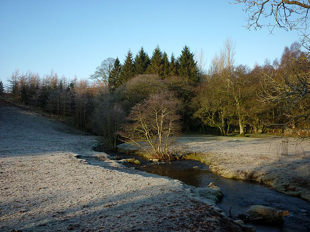
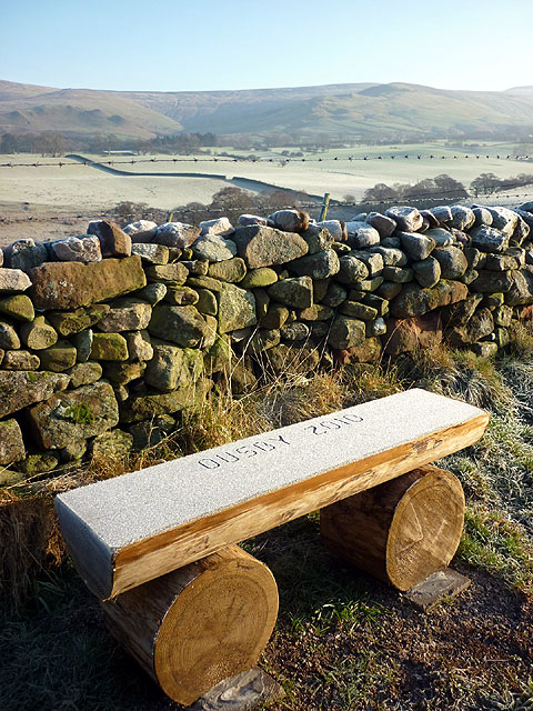
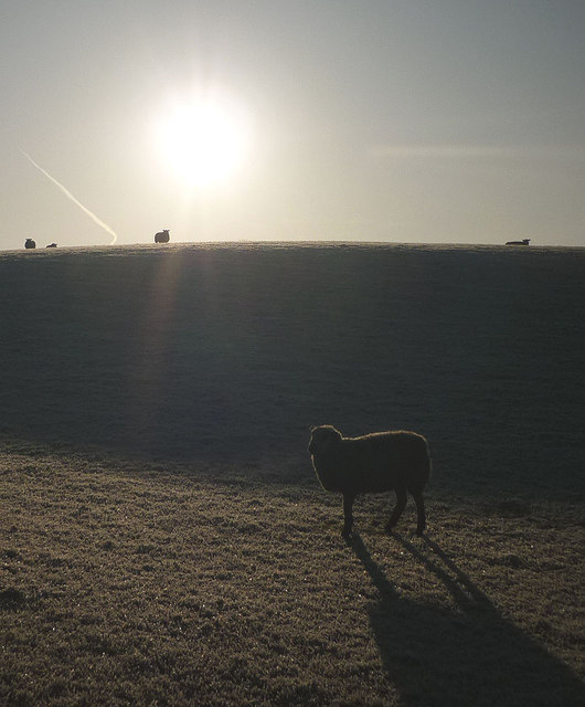
Bradley Images

Images are sourced within 2km of 54.708073/-2.5920188 or Grid Reference NY6134. Thanks to Geograph Open Source API. All images are credited.

Ousby - St Luke's Church
Old Boundary Marker north of Sunnygill Bridge Parish Boundary Marker at a wall corner on the east side of the road north of Sunnygill Bridge. Inscribed PARISH / OF / OUSBY and PARISH / OF / MELMERBY on adjacent faces. On the boundary of Ousby and Melmerby parishes. An eroded stone to the left could be an older marker.

Milestone Society National ID: CU_OUSMEL01pb
Old Boundary Marker north of Sunnygill Bridge
Parish Boundary Marker at a wall corner on the east side of the road north of Sunnygill Bridge. Inscribed PARISH / OF / OUSBY and PARISH / OF / MELMERBY on adjacent faces. On the boundary of Ousby and Melmerby parishes. An eroded stone to the left could be an older marker. Milestone Society National ID: CU_OUSMEL01pb
Sunnygill Bridge Sunnygill Bridge crossing Sunnygill Beck.
Sunnygill Bridge
Sunnygill Bridge crossing Sunnygill Beck.
Garrigill Bank Cows on land near Garrigill Bank.
Garrigill Bank
Cows on land near Garrigill Bank.
Ousby Cows in field above Sunnygill Beck near Ousby.
Ousby
Cows in field above Sunnygill Beck near Ousby.
Row Converted barn between Row and Townhead.
Row
Converted barn between Row and Townhead.
Ousby Converted Chapel at Ousby.
Ousby
Converted Chapel at Ousby.
Holly House Holly House Farm.
Holly House
Holly House Farm.
Tree in field near Holm Beck The rutted soil is now frozen solid.
Tree in field near Holm Beck
The rutted soil is now frozen solid.
Sunnygill Beck Looking downstream from Sunnygill Bridge (and sunny it is!).
Sunnygill Beck
Looking downstream from Sunnygill Bridge (and sunny it is!).
'Ousby 2010' wooden bench Not sure what Ousby got up to in 2010 but we saw a few more of these nearby. Looking towards the North Pennines.
'Ousby 2010' wooden bench
Not sure what Ousby got up to in 2010 but we saw a few more of these nearby. Looking towards the North Pennines.
Sheep on Castle Slack, Ousby A hard frost on the grass.
Sheep on Castle Slack, Ousby
A hard frost on the grass.
Sheep on Castle Slack, Ousby Not a lot to graze on when the grass is frost covered.
Sheep on Castle Slack, Ousby
Not a lot to graze on when the grass is frost covered.
Sheep feeder near Row, Ousby More popular than the grass on this sunny but frosty morning.
Sheep feeder near Row, Ousby
More popular than the grass on this sunny but frosty morning.
The Row at Row, Ousby And a row of blue (and green) plant holders!
The Row at Row, Ousby
And a row of blue (and green) plant holders!
A couple of shy cats at The Row Catching some rays on a frosty morning.
A couple of shy cats at The Row
Catching some rays on a frosty morning.
The valley of Ardale Beck Looking towards the North Pennine fells.
The valley of Ardale Beck
Looking towards the North Pennine fells.
St Luke's Church, Ousby The rectory looks larger than the church <a title="https://www.geograph.org.uk/photo/1140892" href="https://www.geograph.org.uk/photo/1140892">Link</a> The North Pennines beyond.
St Luke's Church, Ousby
The rectory looks larger than the church Link The North Pennines beyond.
Show me another place!

Bradley is located at Grid Ref: NY6134 (Lat: 54.708073, Lng: -2.5920188)

Administrative County: Cumbria

District: Eden

Police Authority: Cumbria

What 3 Words

///mega.fortunate.mimed. Near Penrith, Cumbria

Nearby Locations

Hole Bradley

Related Wikis

Ousby

Ousby is a village and civil parish in Eden district, in the English county of Cumbria. It is a Thankful Village, one of 52 parishes in England and Wales...

Skirwith

Skirwith is a village and former civil parish, now in the parish of Culgaith, in the Eden district, in the county of Cumbria, England. In 1931 the parish...

Melmerby, Cumbria

Melmerby is a village and civil parish in the Eden district, in the county of Cumbria, England. It is a small village with a population of around 200....

Skirwith Abbey

Skirwith Abbey is a country house in Skirwith, Cumbria, England. The House is a two-storey house of five by three bays, built by Thomas Addison, mason...

Nearby Amenities

Located within 500m of 54.708073,-2.5920188
Ousby
Created By: Potlatch 0.10f
Place: village
Source: NPE
Lat/Long: 54.7068617/-2.5917693
Bus Stop
The Fox Inn
Bench: no
Covered: no
Naptan AtcoCode: 090074542210
Naptan Bearing: S
Naptan BusStopType: CUS
Naptan CommonName: The Fox Inn
Naptan Indicator: o/s
Naptan Landmark: Caravan Park
Naptan NaptanCode: cumdawaj
Naptan Street: No name
Naptan Verified: no
Shelter: no
Source: naptan_import
Lat/Long: 54.7086998/-2.5931632
Bus Stop
The Fox
Bench: no
Covered: no
Naptan AtcoCode: 090074543227
Naptan Bearing: NW
Naptan BusStopType: CUS
Naptan CommonName: The Fox
Naptan Indicator: opp
Naptan Landmark: the Fox PH
Naptan NaptanCode: cumdawam
Naptan Street: No name
Naptan Verified: no
Shelter: no
Source: naptan_import
Lat/Long: 54.7083604/-2.5927392
Telephone
Defibrillator
Booth: KX100
Covered: booth
Defibrillator Location: inside old phone box in Ousby
Emergency: defibrillator
Man Made: telephone_box
Lat/Long: 54.7076174/-2.5898587
Grit Bin
Lat/Long: 54.707608/-2.5898354
Waste Basket
Lat/Long: 54.7075972/-2.5898143
Post Box
Post Box Type: lamp
Ref: CA10 202
Lat/Long: 54.7075789/-2.5899845
Bench
Lat/Long: 54.7075257/-2.5899544
Generator Method: photovoltaic
Generator Output Electricity: yes
Generator Source: solar
Generator Type: solar_photovoltaic_panel
Location: roof
Power: generator
Lat/Long: 54.7087701/-2.5941445
Generator Method: photovoltaic
Generator Output Electricity: yes
Generator Source: solar
Generator Type: solar_photovoltaic_panel
Location: roof
Power: generator
Lat/Long: 54.7093047/-2.5936376
Generator Method: photovoltaic
Generator Output Electricity: yes
Generator Source: solar
Generator Type: solar_photovoltaic_panel
Location: roof
Power: generator
Lat/Long: 54.7094302/-2.5936886
Generator Method: photovoltaic
Generator Output Electricity: yes
Generator Source: solar
Generator Type: solar_photovoltaic_panel
Location: roof
Power: generator
Lat/Long: 54.7064097/-2.5876536
Generator Method: photovoltaic
Generator Output Electricity: yes
Generator Source: solar
Generator Type: solar_photovoltaic_panel
Location: roof
Power: generator
Lat/Long: 54.7065073/-2.5895124
Generator Method: photovoltaic
Generator Output Electricity: yes
Generator Source: solar
Generator Type: solar_photovoltaic_panel
Location: roof
Power: generator
Lat/Long: 54.7063555/-2.5905101
Generator Method: photovoltaic
Generator Output Electricity: yes
Generator Source: solar
Generator Type: solar_photovoltaic_panel
Location: roof
Power: generator
Lat/Long: 54.7063229/-2.5906013
Power: pole
Lat/Long: 54.7065771/-2.5851799
Power: pole
Lat/Long: 54.7068041/-2.5868725
Power: pole
Lat/Long: 54.7070115/-2.5885014
Power: pole
Lat/Long: 54.7079256/-2.589319
Power: pole
Lat/Long: 54.7104202/-2.5974979
Power: pole
Lat/Long: 54.7100683/-2.5958183
Power: pole
Lat/Long: 54.7097179/-2.594146
Power: pole
Lat/Long: 54.7093726/-2.5924536
Power: pole
Lat/Long: 54.7109185/-2.5957752
Power: pole
Lat/Long: 54.7116004/-2.5957298
The data included in this document is from www.openstreetmap.org. The data is made available under ODbL.

Have you been to Bradley?

Leave your review of Bradley below (or comments, questions and feedback).