Bloomfield
Settlement in Dumfriesshire
Scotland
Bloomfield
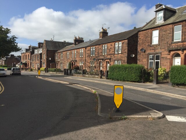
Bloomfield is a small village located in Dumfriesshire, Scotland. Situated in the southern part of the country, it lies approximately 5 miles northwest of the town of Lockerbie. With a population of around 300 residents, Bloomfield offers a tranquil and close-knit community atmosphere.
The village is surrounded by picturesque countryside, characterized by rolling hills and lush green fields. Its rural location makes it an ideal destination for those seeking a peaceful retreat from the hustle and bustle of city life. The nearby River Annan adds to the charm of the area, providing opportunities for fishing and leisurely walks along its banks.
Historically, Bloomfield was primarily an agricultural community, with farming being the main source of livelihood for its inhabitants. Although the agricultural sector remains important, the village has diversified over the years, and residents now engage in a variety of professions.
Whilst Bloomfield may lack amenities such as shops and schools within the village itself, the nearby towns of Lockerbie and Dumfries provide easy access to essential services and facilities. Bloomfield benefits from its close proximity to major transportation routes, including the A74(M) motorway, enabling residents to easily connect with surrounding areas.
Overall, Bloomfield offers a tranquil and idyllic lifestyle for those seeking a peaceful rural setting. Its natural beauty and friendly community make it an attractive place to reside or visit for those looking to immerse themselves in the Scottish countryside.
If you have any feedback on the listing, please let us know in the comments section below.
Bloomfield Images
Images are sourced within 2km of 55.086016/-3.5920729 or Grid Reference NX9878. Thanks to Geograph Open Source API. All images are credited.
Bloomfield is located at Grid Ref: NX9878 (Lat: 55.086016, Lng: -3.5920729)
Unitary Authority: Dumfries and Galloway
Police Authority: Dumfries and Galloway
What 3 Words
///native.spectacle.treaty. Near Locharbriggs, Dumfries & Galloway
Nearby Locations
Related Wikis

Nunholm
Nunholm is a cricket ground in Dumfries, Scotland. The first recorded match held on the ground came in 1979 when Scotland B played a combined Central...

Auchen Castle Hotel
Auchen Castle is a wedding destination near Moffat, Dumfries and Galloway, Scotland. With 26 bedrooms, a private lake and falconry school, it has a 5-star...
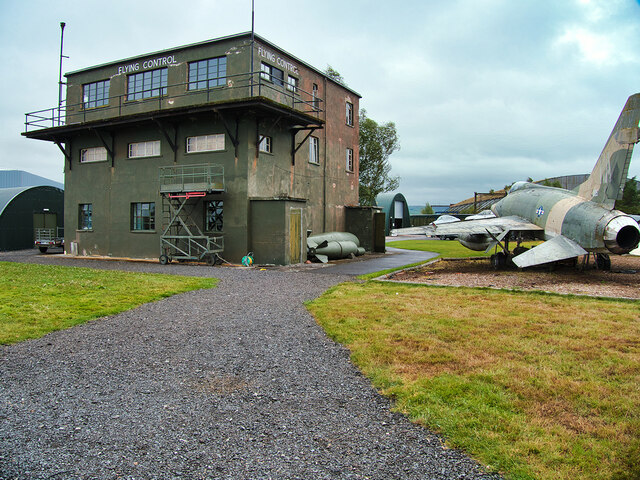
RAF Dumfries
Royal Air Force Dumfries or more simply RAF Dumfries was a former Royal Air Force station located near Dumfries, Dumfries and Galloway Scotland. The airfield...
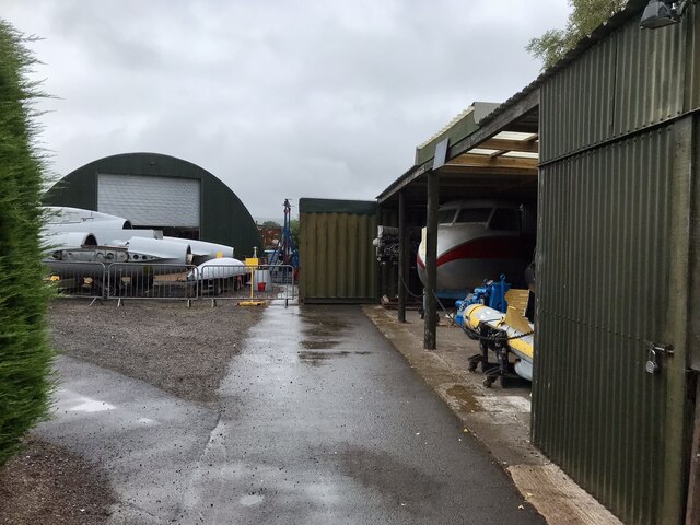
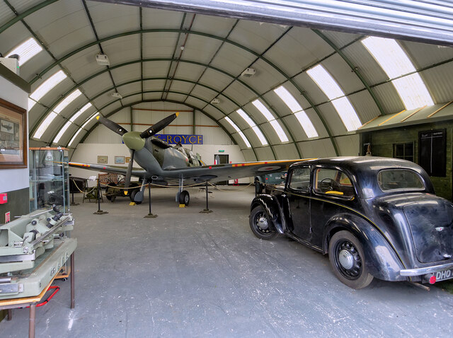
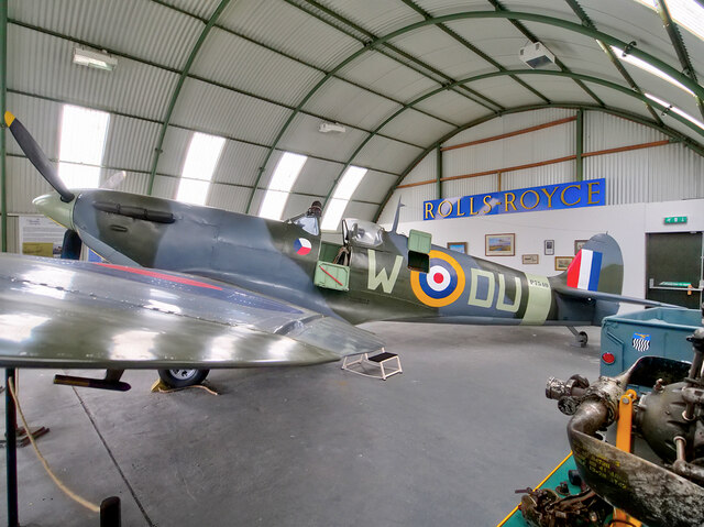
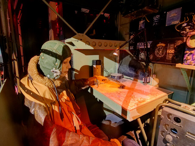
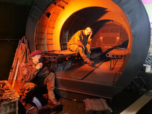
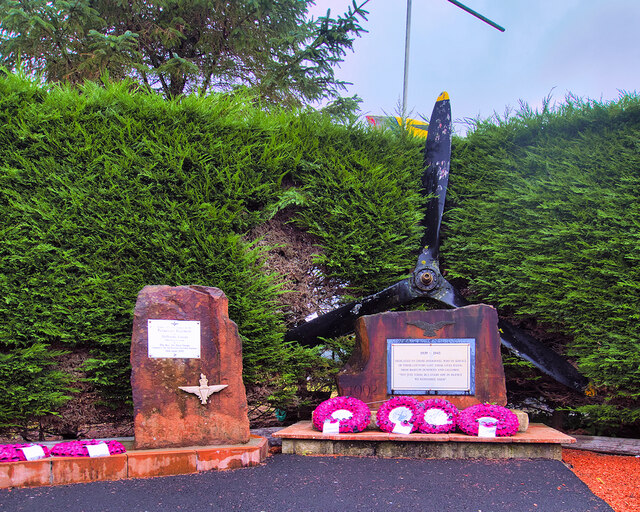
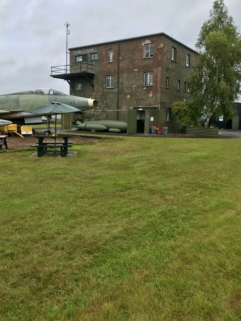
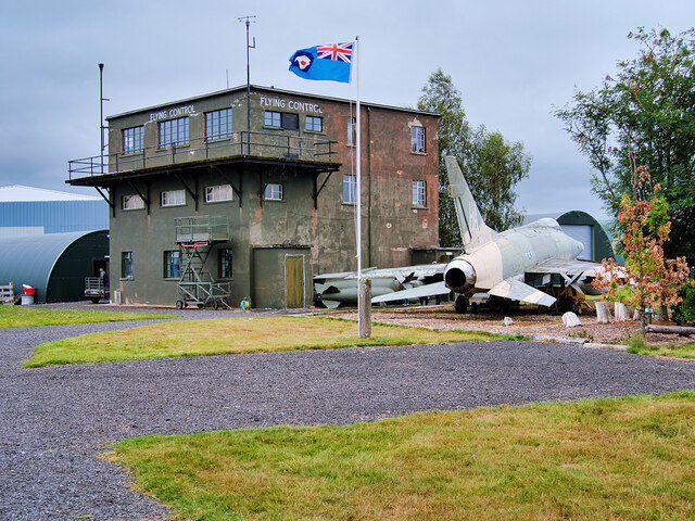
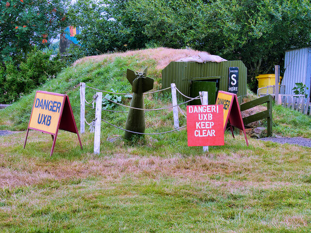
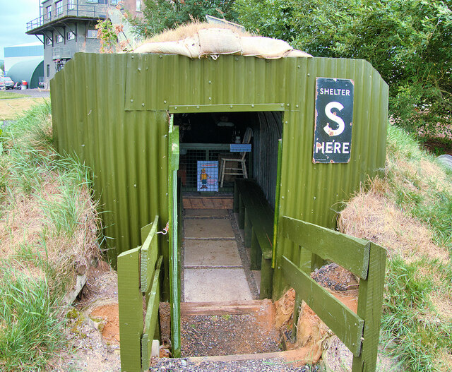
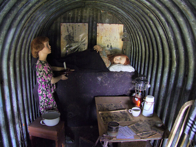
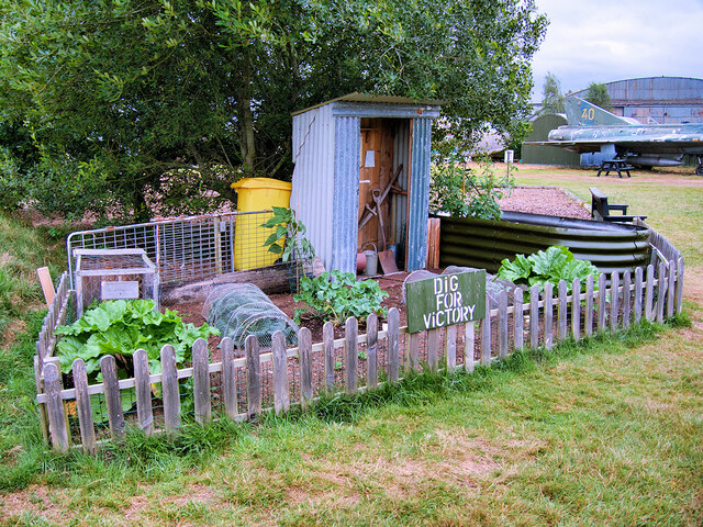
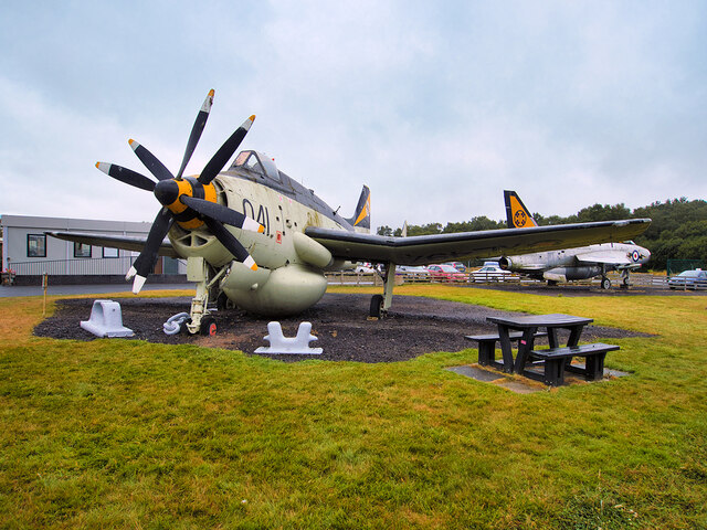
Dumfries and Galloway Aviation Museum
The Dumfries and Galloway Aviation Museum is a volunteer-operated aviation museum located in and around the World War II-era watch tower (control tower...

Cairn Water
Cairn Water is a small river in Dumfries and Galloway, Scotland. The river, formed by the confluence of the Castlefern, Craigdarroch and Dalquhat, flows...
Kirkmahoe
Kirkmahoe is a civil parish in Dumfries and Galloway. The parish contains the settlements Kirkton, where the parish church is located, Dalswinton and...
Lochar Thistle F.C.
Lochar Thistle Football Club are a football club originating in 1969 from the villages of Locharbriggs and Heathhall in the town of Dumfries in Scotland...
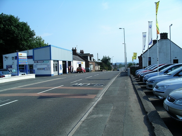
Locharbriggs
Locharbriggs is a village in Dumfries and Galloway, Scotland. It is located near the Lochar Water, 2.7 miles (4.3 km) north-northeast of the town of Dumfries...
Related Videos

Tag2Holiday Holiday Accommodation in Dumfries and Galloway Scotland by #DigitalMediaScotlandUK
Promote using #Tag2Holiday in Dumfries and Galloway Scotland. Welcome to Dumfries and Galloway, Scotland's hidden gem, ...

We Stayed in a Pod at Dumfries and Galloway | Forrest Walk | Murray's Monument
We hope you enjoy this video. We went away to Dumfries and Galloway, We stayed inside of a pod at Barnharrow Holiday Pods.

First Solo Beach Camp Sunrise ⛺️😁
After a lovely clear night under the starry sky I woke up to a lovely sunrise sky I must get away for more camping next year.
Wednesday Short: The Rain Didn't Stop! #rain #nature #scotland #hiking
The Solway Coast trail - Dumfries & Galloway, Scotland. The rain finally stopped but it made some parts of this route fairly hard to ...
Nearby Amenities
Located within 500m of 55.086016,-3.5920729Have you been to Bloomfield?
Leave your review of Bloomfield below (or comments, questions and feedback).