Bleak Hills
Settlement in Nottinghamshire Mansfield
England
Bleak Hills
Bleak Hills is a small village located in the county of Nottinghamshire, England. Situated on the eastern edge of the Sherwood Forest, this picturesque village offers a serene and tranquil environment for its residents and visitors alike.
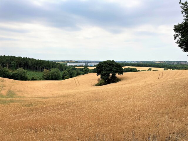
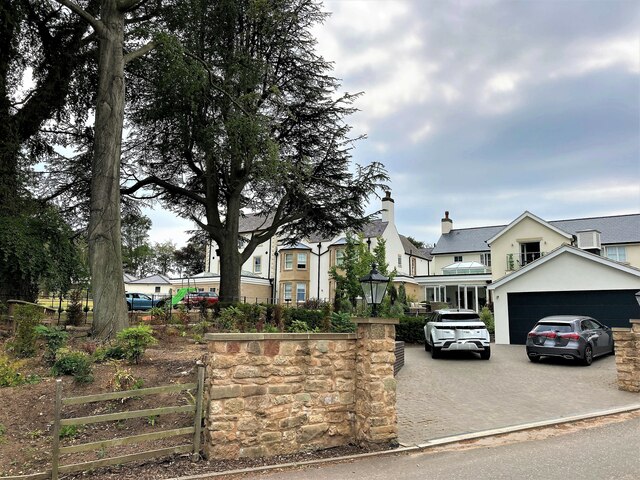
The village is known for its stunning natural beauty, with rolling hills and lush green fields surrounding the area. The landscape is dotted with charming cottages and traditional English houses, adding to the quaint and idyllic atmosphere. The village is also home to a small, but close-knit community, where residents take pride in maintaining the village's unique character.
Although Bleak Hills is a quiet village, it boasts a rich history dating back several centuries. The village church, St. Mary's, stands as a testament to this history, with its medieval architecture and intricate stained glass windows. The nearby Bleak Hills Manor, a grand country house, is another notable landmark that adds to the village's historical charm.
Despite its small size, Bleak Hills offers a range of amenities for its residents. The village has a local primary school, a post office, and a cozy village pub, where locals gather to relax and socialize. Additionally, the village is well-connected to larger towns and cities in the region, making it a convenient location for those seeking a peaceful retreat while still having access to urban amenities.
Overall, Bleak Hills is a hidden gem in Nottinghamshire, offering a charming blend of natural beauty, rich history, and a tight-knit community. It is a place where visitors can escape the hustle and bustle of modern life and immerse themselves in the serenity of the English countryside.
If you have any feedback on the listing, please let us know in the comments section below.
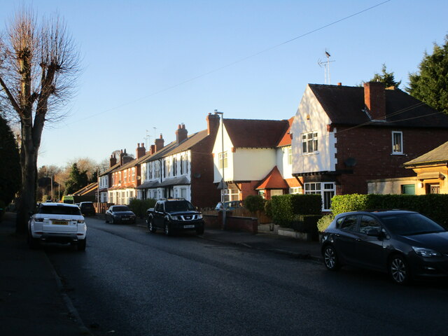
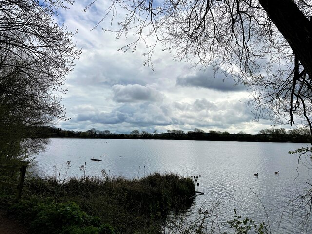
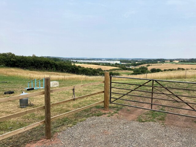
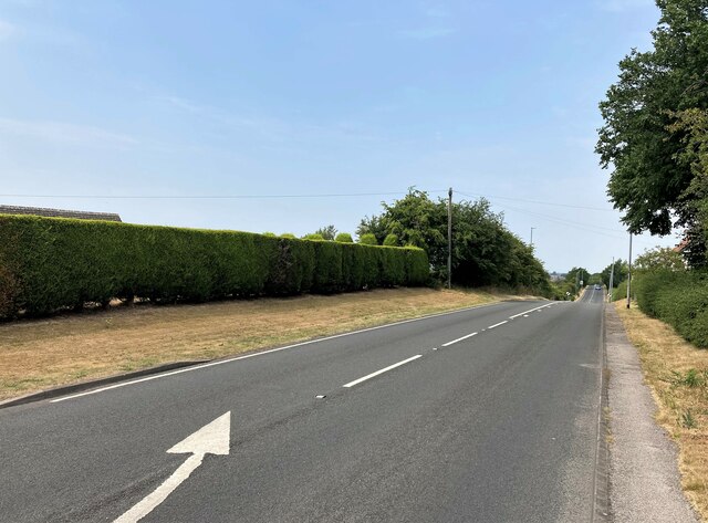
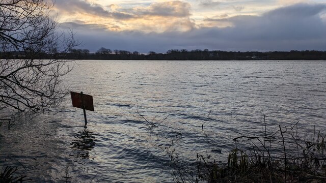
Bleak Hills Images
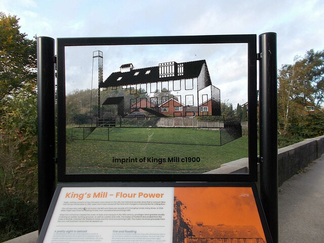
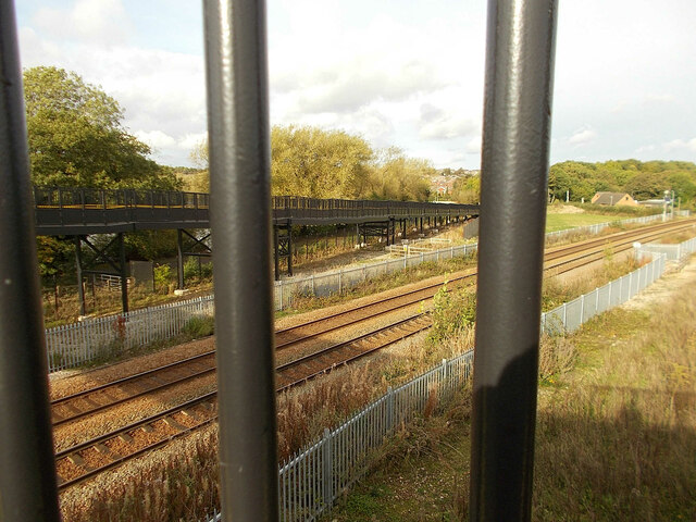
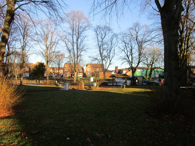
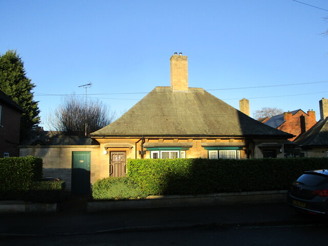
Images are sourced within 2km of 53.132226/-1.2168375 or Grid Reference SK5259. Thanks to Geograph Open Source API. All images are credited.

Bleak Hills is located at Grid Ref: SK5259 (Lat: 53.132226, Lng: -1.2168375)
Administrative County: Nottinghamshire
District: Mansfield
Police Authority: Nottinghamshire
What 3 Words
///skip.sends.yard. Near Mansfield, Nottinghamshire
Nearby Locations
Related Wikis

Mansfield and Pinxton Railway
The Mansfield and Pinxton Railway was an early horse-drawn railway in the United Kingdom. It was completed in 1819, to make a transport link between Mansfield...

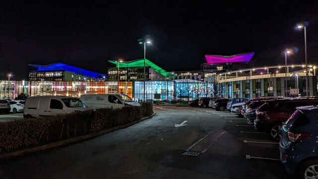
King's Mill Hospital
King's Mill Hospital is an acute general district hospital serving the population of north Nottinghamshire and parts of Derbyshire and Lincolnshire. It...

Field Mill
Field Mill, currently known as One Call Stadium for sponsorship reasons, is a football ground in Mansfield, Nottinghamshire, England, and the home of Mansfield...

Mansfield urban area
The Mansfield Urban Area is a built-up area of Nottinghamshire, England. Which comprises the towns of Mansfield, Sutton in Ashfield, and Kirkby in Ashfield...
Nearby Amenities
Located within 500m of 53.132226,-1.2168375Have you been to Bleak Hills?
Leave your review of Bleak Hills below (or comments, questions and feedback).