Blakeney Hill
Settlement in Gloucestershire Forest of Dean
England
Blakeney Hill
Blakeney Hill is a small village located in the Forest of Dean district of Gloucestershire, England. Situated on the western edge of the Forest, it offers stunning views of the surrounding countryside. With a population of just over 500 residents, the village maintains a close-knit community atmosphere.
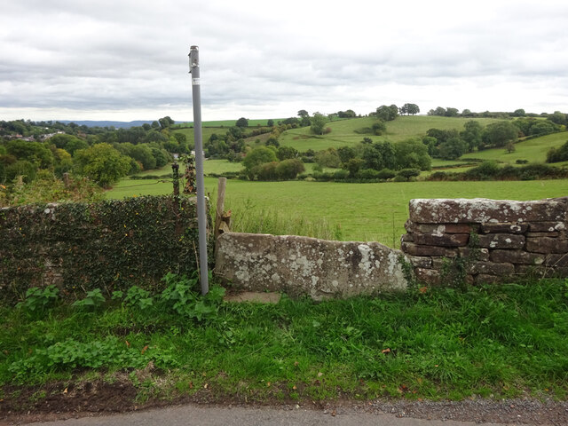
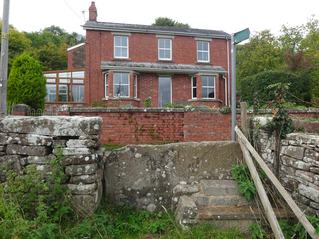
The village is primarily residential, with a mix of traditional stone cottages and more modern houses. Blakeney Hill benefits from its rural location, providing a peaceful and picturesque setting for its residents. The village is surrounded by lush green fields and woodland, making it an ideal location for nature lovers and outdoor enthusiasts.
Blakeney Hill is well-connected to nearby towns and cities, with the A48 road passing through the village, providing easy access to Gloucester, Chepstow, and the M5 motorway. Public transportation options include regular bus services to nearby towns and a railway station in Lydney, just a short drive away.
The village boasts a range of amenities, including a local shop, a primary school, a village hall, and a post office. There are also several pubs and restaurants in the surrounding area, offering a variety of dining options.
Blakeney Hill is surrounded by a wealth of natural beauty and attractions, including the Forest of Dean, the Wye Valley, and the Severn Estuary. These areas provide ample opportunities for outdoor activities such as hiking, cycling, and birdwatching.
Overall, Blakeney Hill offers a charming and tranquil setting for its residents, with easy access to both the countryside and nearby towns and cities.
If you have any feedback on the listing, please let us know in the comments section below.
Blakeney Hill Images
Images are sourced within 2km of 51.763219/-2.4825215 or Grid Reference SO6607. Thanks to Geograph Open Source API. All images are credited.
Blakeney Hill is located at Grid Ref: SO6607 (Lat: 51.763219, Lng: -2.4825215)
Administrative County: Gloucestershire
District: Forest of Dean
Police Authority: Gloucestershire
What 3 Words
///painters.built.breeding. Near Sharpness, Gloucestershire
Nearby Locations
Related Wikis

Blakeney, Gloucestershire
Blakeney is a village in Gloucestershire, England. It in the parish of Awre and has views of the Forest of Dean. It was the site of a Roman villa, dating...

Brain's Green
Brain's Green is a hamlet in Gloucestershire, England. == References ==

Clarke's Pool Meadow SSSI
Clarke's Pool Meadow (grid reference SO668061) is a 1.8-hectare (4.4-acre) biological Site of Special Scientific Interest in Gloucestershire, notified...
Bledisloe Tump
Bledisloe Tump was a castle in the village of Awre in Gloucestershire, England. == History == The first castle on the site was built in the 11th or early...

Oldcroft
Oldcroft is a hamlet in Gloucestershire, England. The village of Yorkley is to the northwest, and the hamlet of Viney Hill is to the northeast. == History... ==
Awre for Blakeney railway station
Awre for Blakeney railway station is a closed railway station in Gloucestershire, England, which served both the village of Awre and the town of Blakeney...

Purton, Lydney
Purton is a hamlet on the west bank of the River Severn, in the civil parish of Lydney in Gloucestershire, England. It lies opposite the village of Purton...
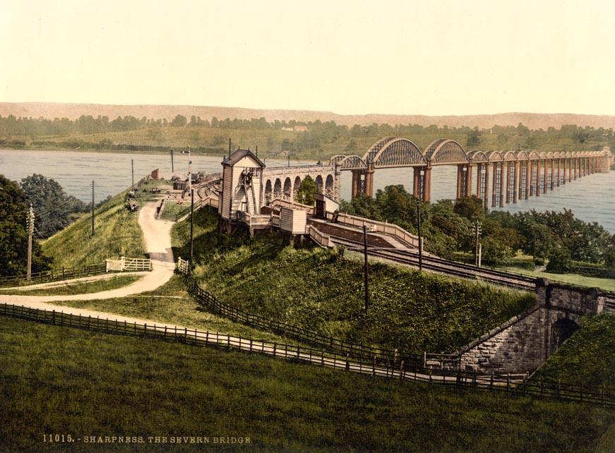
Severn Bridge railway station
Severn Bridge railway station was a small station on the Severn Bridge Railway located close to the north west bank of the River Severn, 2 miles (3 km...
Nearby Amenities
Located within 500m of 51.763219,-2.4825215Have you been to Blakeney Hill?
Leave your review of Blakeney Hill below (or comments, questions and feedback).