Blacky More

Settlement in Northamptonshire

England

Blacky More

A45 westbound
A45 westbound Credit: Alex McGregor

Blacky More is a small village located in the county of Northamptonshire, England. Situated in the southeastern part of the county, it lies approximately 8 miles east of Northampton and 10 miles west of Wellingborough. The village is nestled within a predominantly rural landscape, surrounded by picturesque countryside and farmland.

The origins of Blacky More can be traced back to medieval times, with historical records dating back to the 13th century. The village's name is believed to have derived from the Old English word "blæc," meaning black, and "mere," which refers to a pool or lake. This suggests the presence of a dark body of water in the area, although its exact location is uncertain.

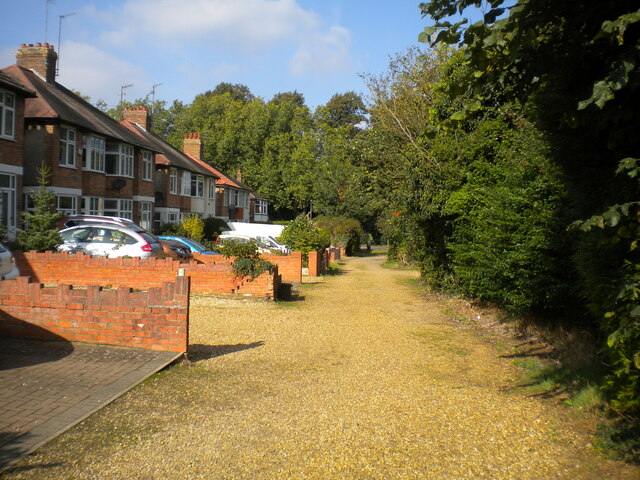
Today, Blacky More retains its rural charm and tranquil atmosphere, attracting residents who seek a peaceful countryside lifestyle. The village is characterized by a mix of traditional stone cottages and newer residential properties. Despite its small size, Blacky More benefits from a strong sense of community, with regular social events and activities organized by local residents.

The surrounding countryside offers ample opportunities for outdoor activities, such as walking, cycling, and horse riding. The village is also in close proximity to several nature reserves and country parks, providing nature enthusiasts with abundant wildlife and natural beauty to explore.

Overall, Blacky More presents an idyllic rural setting, allowing residents and visitors to enjoy the tranquility of the Northamptonshire countryside while remaining within easy reach of nearby towns and amenities.

If you have any feedback on the listing, please let us know in the comments section below.
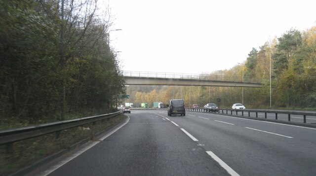
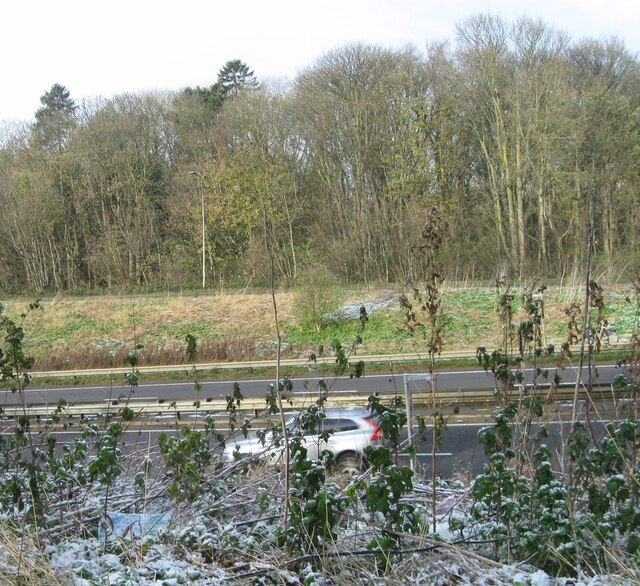
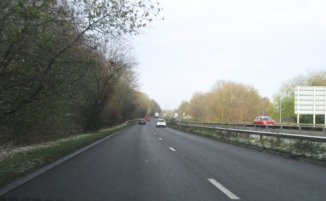
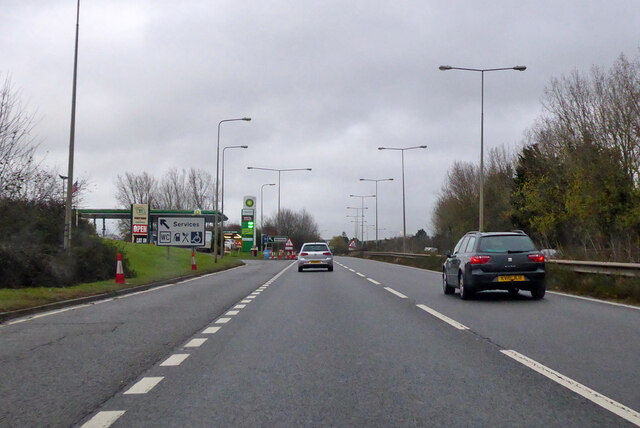
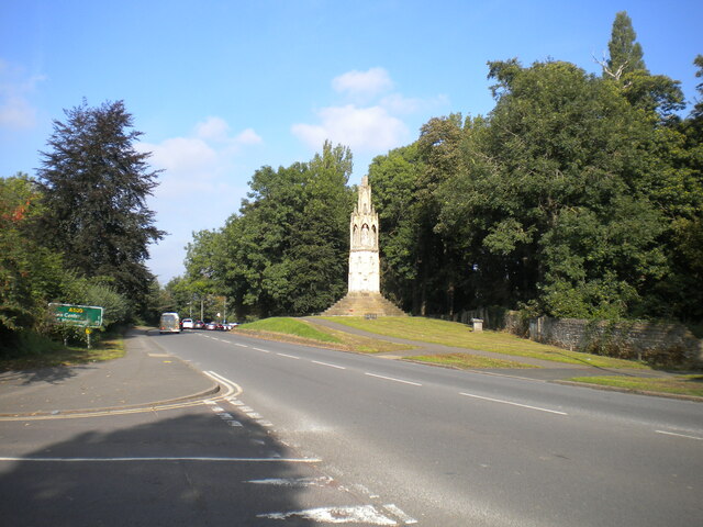
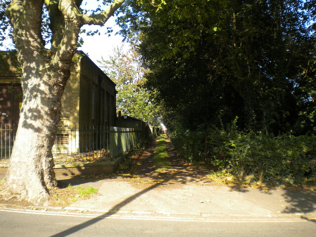
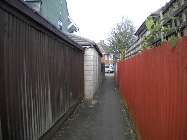
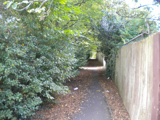
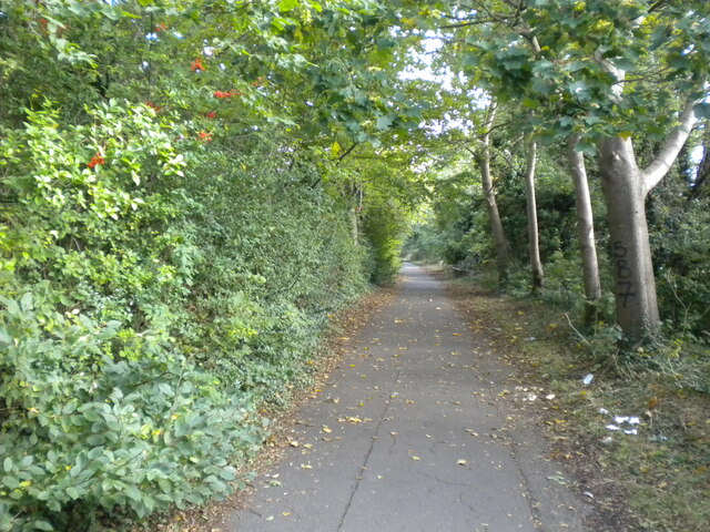
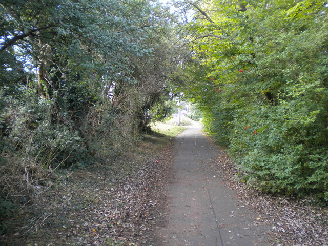
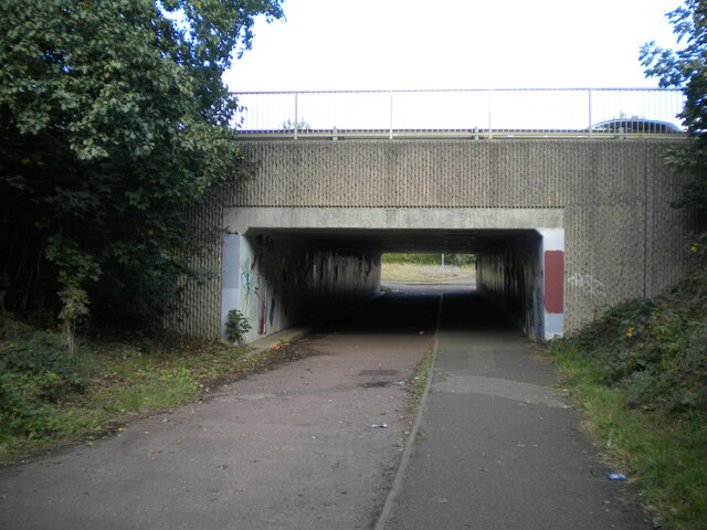
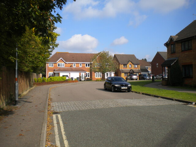
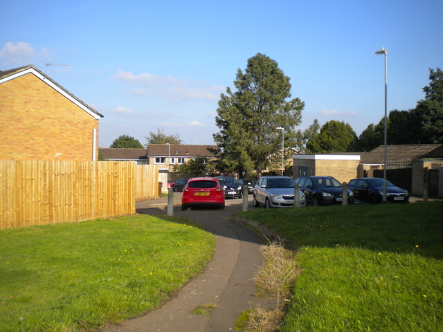
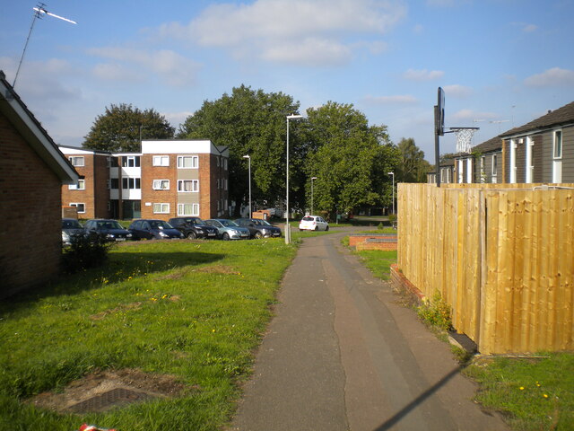
Blacky More Images

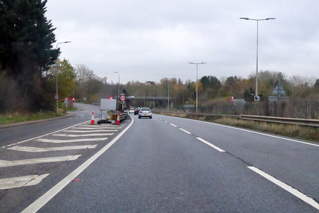
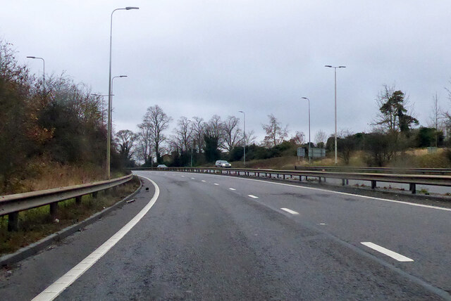
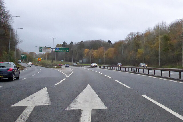
Images are sourced within 2km of 52.207936/-0.90453966 or Grid Reference SP7457. Thanks to Geograph Open Source API. All images are credited.

A45 westbound
A45 westbound
View over A45
View over A45
A5076 Danes Camp Way
Southbound A45 London Road Approaching the M1.
Southbound A45 London Road
Approaching the M1.
Southbound A45 London Road By the exit to Wootton.
Southbound A45 London Road
By the exit to Wootton.
Southbound A45 About where its name changes from Nene Valley Way to London Road.
Southbound A45
About where its name changes from Nene Valley Way to London Road.
A45 Nene Valley Way At the exit for the A5076 which continues the southern outer ring around Northampton.
A45 Nene Valley Way
At the exit for the A5076 which continues the southern outer ring around Northampton.
Lane parallel to London Road, Far Cotton Not really grand enough to be described as a service road, and separated from London Road by the tall greenery on the right.
Lane parallel to London Road, Far Cotton
Not really grand enough to be described as a service road, and separated from London Road by the tall greenery on the right.
London Road, Far Cotton Looking towards Northampton town centre from the junction with Parkfield Avenue, with Queen Eleanor's Cross visible on the right on the edge of Delapre Park.
London Road, Far Cotton
Looking towards Northampton town centre from the junction with Parkfield Avenue, with Queen Eleanor's Cross visible on the right on the edge of Delapre Park.
Back lane off Parkfield Avenue, Far Cotton Sneaking off past a transformer station (left) to pass between the back gardens of houses on Parkfield Avenue and London Road.
Back lane off Parkfield Avenue, Far Cotton
Sneaking off past a transformer station (left) to pass between the back gardens of houses on Parkfield Avenue and London Road.
Footpath to Winchester Road, Far Cotton Off the footpath and cycleway that parallel Mere Way.
Footpath to Winchester Road, Far Cotton
Off the footpath and cycleway that parallel Mere Way.
Footpath parallel to Mere Way, Far Cotton (1) Visually (but sadly not aurally) separated from the busy dual carriageway by somewhat overgrown vegetation (left).
Footpath parallel to Mere Way, Far Cotton (1)
Visually (but sadly not aurally) separated from the busy dual carriageway by somewhat overgrown vegetation (left).
Footpath parallel to Mere Way, Far Cotton (2) Sandwiched between the busy dual carriageway (right) and Abbeyfield School (left).
Footpath parallel to Mere Way, Far Cotton (2)
Sandwiched between the busy dual carriageway (right) and Abbeyfield School (left).
Footpath parallel to Mere Way, Far Cotton (3) Sandwiched between the busy dual carriageway (left) and Abbeyfield School (right).
Footpath parallel to Mere Way, Far Cotton (3)
Sandwiched between the busy dual carriageway (left) and Abbeyfield School (right).
Subway under Mere Way, Merefield Used by a cycleway (left) and footpath.
Subway under Mere Way, Merefield
Used by a cycleway (left) and footpath.
Sandhurst Close, Merefield
Southwood Hill, Briar Hill (1) Part of a complex of roads that are all named Southwood Hill, seen from a footpath linking it with housing off other parts.
Southwood Hill, Briar Hill (1)
Part of a complex of roads that are all named Southwood Hill, seen from a footpath linking it with housing off other parts.
Southwood Hill, Briar Hill (2) A footpath linking housing off roads that are all named Southwood Hill.
Southwood Hill, Briar Hill (2)
A footpath linking housing off roads that are all named Southwood Hill.
Show me another place!

Blacky More is located at Grid Ref: SP7457 (Lat: 52.207936, Lng: -0.90453966)

Unitary Authority: West Northamptonshire

Police Authority: Northamptonshire

What 3 Words

///only.cars.cubes. Near Hardingstone, Northamptonshire

Related Wikis

East Hunsbury

East Hunsbury is a large residential area in the south of Northampton, England, situated around 3 miles (5 km) from the town centre and 1 mile (2 km) from...

Collingtree

Collingtree is a village and civil parish in the West Northamptonshire district of Northamptonshire, England. It is part of the Northampton built-up area...

Northamptonshire Record Office

The Northamptonshire Record Office is the county record office for Northamptonshire. The archives are held at Wootton Hall Park, Wootton, Northampton,...

Abbeyfield School, Northampton

Abbeyfield School is a mixed secondary school and sixth form located in Northampton in the English county of Northamptonshire.It was previously known as...

Nearby Amenities

Located within 500m of 52.207936,-0.90453966
Mini Roundabout
Direction: clockwise
Lat/Long: 52.2054639/-0.9069861
Crossing
Crossing: zebra
Crossing Island: no
Kerb: lowered
Tactile Paving: yes
Traffic Calming: table
Lat/Long: 52.2051517/-0.9057396
Mini Roundabout
Lat/Long: 52.2042522/-0.9017613
Crossing
Crossing: zebra
Crossing Island: no
Kerb: lowered
Tactile Paving: yes
Lat/Long: 52.2065427/-0.9057489
Mini Roundabout
Lat/Long: 52.2056047/-0.9004357
East Hunsbury
Is In: Northampton
Place: suburb
Lat/Long: 52.2098105/-0.9081975
Bus Stop
Harrier Park
Bench: yes
Bin: yes
Bus: yes
Lit: yes
Naptan AtcoCode: 300000088CL
Naptan NaptanCode: nthadmtg
Passenger Information Display: yes
Public Transport: platform
Shelter: yes
Tactile Paving: yes
Lat/Long: 52.2119621/-0.9057095
Post Box
Collection Times: Mo-Fr 09:00; Sa 07:00
Ref: NN4 417
Royal Cypher: EIIR
Royal Cypher Wikidata: Q33102113
Lat/Long: 52.2120762/-0.9067555
Crossing: unmarked
Crossing Island: no
Kerb: lowered
Lat/Long: 52.2091838/-0.9052067
Barrier: cycle_barrier
Cycle Barrier: triple
Cycle Barrier Installation: fixed
Lat/Long: 52.2108213/-0.9065652
Police
Police Headquarters
Police Station
Addr Street: Wootton Hall Park
Emergency: police_station
Operator: Northamptonshire Police
Website: https://northants.police.uk
Lat/Long: 52.2101701/-0.9012953
Crossing: unmarked
Crossing Island: no
Kerb Left: lowered
Lat/Long: 52.2117573/-0.9046231
Turning Circle
Lat/Long: 52.212245/-0.9050902
Turning Circle
Lat/Long: 52.2123058/-0.9061899
Access: yes
Leisure: playground
Lat/Long: 52.2096462/-0.9058022
Waste Basket
Check Date: 2023-02-25
Lat/Long: 52.20985/-0.9056734
Barrier: cycle_barrier
Cycle Barrier: double
Cycle Barrier Installation: fixed
Lat/Long: 52.212117/-0.9061813
Bus Stop
Harrier Park
Bench: no
Bin: no
Bus: yes
Flag: yes
Lit: no
Pole: yes
Public Transport: platform
Shelter: no
Tactile Paving: yes
Lat/Long: 52.2121456/-0.9067422
Crossing
Crossing: zebra
Crossing Island: no
Tactile Paving: yes
Lat/Long: 52.2120339/-0.9061731
Crossing: unmarked
Crossing Island: no
Kerb: lowered
Lat/Long: 52.2085076/-0.9044422
Bus Stop
Skipton Close
Bench: yes
Bin: yes
Bus: yes
Lit: yes
Naptan AtcoCode: 300000107SK
Naptan NaptanCode: nthagjpa
Public Transport: platform
Shelter: yes
Tactile Paving: yes
Lat/Long: 52.2091843/-0.9052968
Post Box
Brand: Royal Mail
Brand Wikidata: Q638098
Brand Wikipedia: en:Royal Mail
Collection Times: Mo-Fr 09:00; Sa 07:00
Operator: Royal Mail
Operator Wikidata: Q638098
Ref: NN4 437
Royal Cypher: EIIR
Royal Cypher Wikidata: Q33102113
Lat/Long: 52.2048212/-0.9014525
Post Box
Brand: Royal Mail
Brand Wikidata: Q638098
Brand Wikipedia: en:Royal Mail
Collection Times: Mo-Fr 09:00; Sa 07:00
Operator: Royal Mail
Operator Wikidata: Q638098
Ref: NN4 443
Royal Cypher: EIIR
Royal Cypher Wikidata: Q33102113
Lat/Long: 52.2070334/-0.9049549
Turning Circle
Lat/Long: 52.2117202/-0.9055999
Turning Circle
Lat/Long: 52.2116521/-0.9051205
Bench
Backrest: yes
Lat/Long: 52.2098303/-0.9054213
Bus Stop
Blacky More, o/s Medical Centre
Bench: yes
Bin: yes
Bus: yes
Lit: no
Naptan AtcoCode: 300000107OM
Naptan NaptanCode: nthagjmd
Public Transport: platform
Shelter: yes
Tactile Paving: yes
Lat/Long: 52.2046847/-0.9034133
Bus Stop
Merefield, opp East Hunsbury Primary School
Bench: no
Bin: yes
Bus: yes
Lit: no
Naptan AtcoCode: 300000107PV
Naptan NaptanCode: nthagjmp
Network: 12
Public Transport: platform
Shelter: yes
Tactile Paving: yes
Lat/Long: 52.2063807/-0.9061487
Bus Stop
Merefield, nr East Hunsbury Primary School
Bench: no
Bin: no
Bus: yes
Lit: no
Naptan AtcoCode: 300000107SC
Naptan NaptanCode: nthagjmw
Network: 12
Public Transport: platform
Shelter: no
Tactile Paving: yes
Lat/Long: 52.2067571/-0.9052665
Bus Stop
Blacky More, opp Medical Centre
Bench: no
Bin: no
Bus: yes
Lit: no
Naptan AtcoCode: 300000107MC
Naptan NaptanCode: nthagjgp
Public Transport: platform
Shelter: yes
Tactile Paving: yes
Lat/Long: 52.2048294/-0.904426
Bus Stop
Blacky More, o/s The Collingtree
Bus: yes
Public Transport: platform
Lat/Long: 52.2053578/-0.8987902
Bus Stop
Blacky More, opp. Wakehurst Drive
Bench: no
Bin: no
Bus: yes
Naptan AtcoCode: 300000483GB
Naptan NaptanCode: nthapdpj
Network: 12
Public Transport: platform
Shelter: no
Lat/Long: 52.206537/-0.9007784
Bus Stop
Blacky More, adj. Lambrook Drive
Bus: yes
Naptan AtcoCode: 300000483H
Naptan NaptanCode: nthapdpt
Network: 12
Public Transport: platform
Lat/Long: 52.2086468/-0.8990725
East Hunsbury School Kids Club
Addr City: Northampton
Addr Country: GB
Addr Housename: East Hunsbury Primary School
Addr Postcode: NN4 0QW
Addr Street: Penvale Road
Fhrs Authority: Northampton
Fhrs Id: 180979
Fhrs Local Authority Id: PI/000068273
Lat/Long: 52.2062424/-0.9055781
Restaurant
ABM Catering @ Northants Police
Addr City: Northampton
Addr Country: GB
Addr Postcode: NN4 0JQ
Addr Street: Wootton Hall Park
Fhrs Authority: Northampton
Fhrs Id: 1134574
Fhrs Local Authority Id: PI/000091057
Lat/Long: 52.2101214/-0.9009594
Noexit: yes
Lat/Long: 52.2049247/-0.8992234
Noexit: yes
Lat/Long: 52.2070597/-0.9006215
Noexit: yes
Lat/Long: 52.2049034/-0.9035522
Crossing: unmarked
Crossing Island: no
Kerb: lowered
Lat/Long: 52.205562/-0.9069263
Crossing: unmarked
Crossing Island: no
Kerb: lowered
Lat/Long: 52.2061995/-0.906453
Crossing: unmarked
Crossing Island: no
Kerb: lowered
Lat/Long: 52.2064015/-0.9058709
Crossing: unmarked
Crossing Island: no
Kerb: lowered
Lat/Long: 52.2068982/-0.9052979
Crossing: unmarked
Crossing Island: no
Kerb: lowered
Lat/Long: 52.2071645/-0.9047256
Crossing: unmarked
Crossing Island: no
Kerb: lowered
Lat/Long: 52.2079303/-0.9047866
Crossing: unmarked
Crossing Island: no
Kerb: lowered
Lat/Long: 52.2088269/-0.9050311
Crossing: uncontrolled
Crossing Island: no
Kerb: lowered
Lat/Long: 52.2112082/-0.904797
Crossing: uncontrolled
Crossing Island: no
Kerb: lowered
Lat/Long: 52.2115818/-0.9044168
Crossing: unmarked
Crossing Island: no
Kerb: lowered
Lat/Long: 52.2119688/-0.9048669
Crossing: unmarked
Crossing Island: no
Kerb: lowered
Lat/Long: 52.208409/-0.9046549
Crossing
Crossing: uncontrolled
Crossing Island: no
Kerb: lowered
Tactile Paving: no
Lat/Long: 52.2108852/-0.9047117
Traffic Calming: cushion
Lat/Long: 52.2039662/-0.9011662
Traffic Calming: cushion
Lat/Long: 52.2046105/-0.9031749
Traffic Calming: cushion
Lat/Long: 52.2049223/-0.9046873
Cycleway: lane
Cycleway Lane: advisory
Cycleway Width: 0.8
Traffic Calming: cushion
Lat/Long: 52.2053237/-0.9065837
Noexit: yes
Lat/Long: 52.2037316/-0.9027488
Noexit: yes
Lat/Long: 52.2038244/-0.902672
The data included in this document is from www.openstreetmap.org. The data is made available under ODbL.

Have you been to Blacky More?

Leave your review of Blacky More below (or comments, questions and feedback).