Birling
Settlement in Northumberland
England
Birling
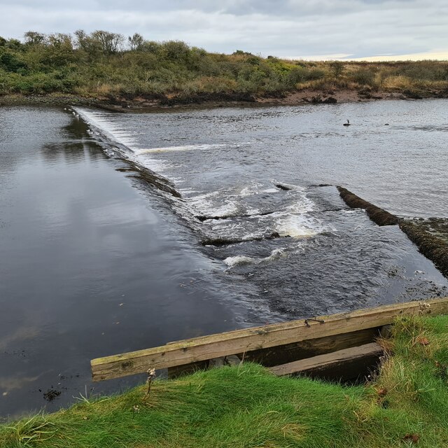
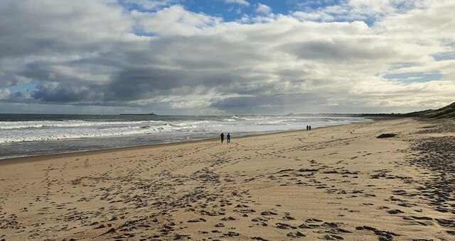
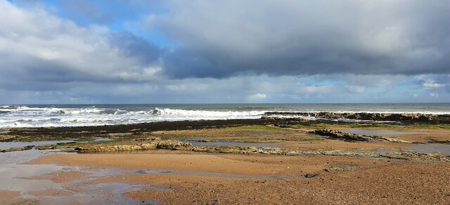
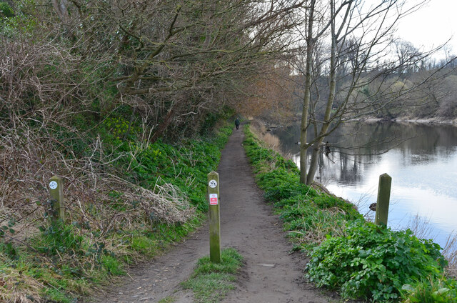
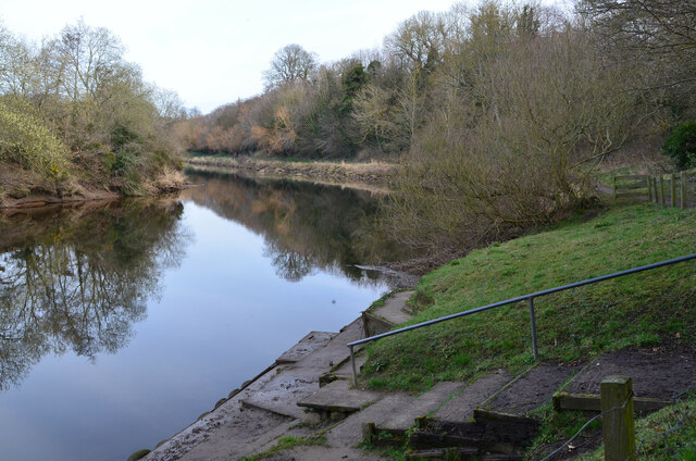
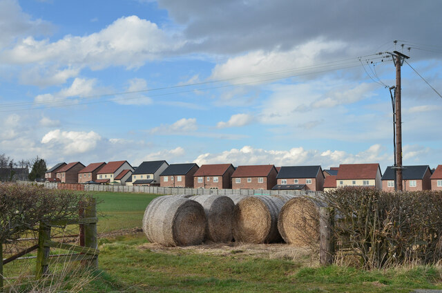
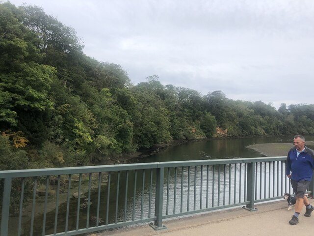
Birling is a small village located in the county of Northumberland, England. Situated on the banks of the River Tyne, it is part of the parliamentary constituency of Hexham and falls within the administrative area of Northumberland County Council. The village is nestled amidst picturesque landscapes, with rolling hills and stunning views of the surrounding countryside.
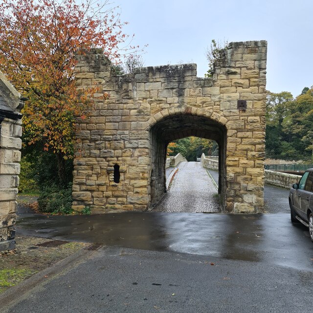
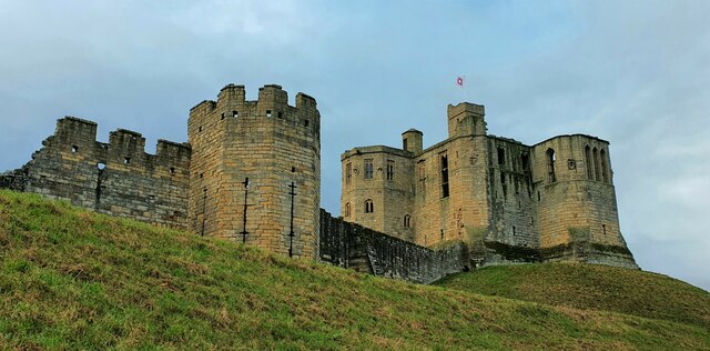
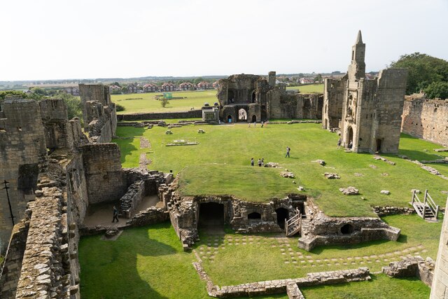
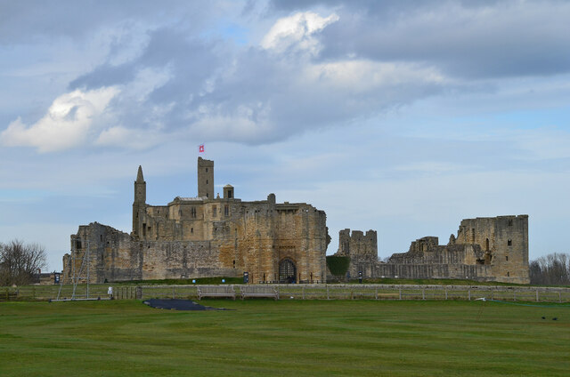
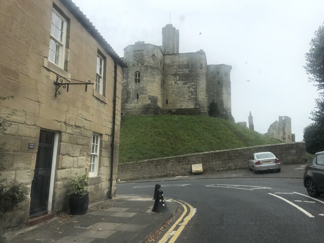
Birling is known for its rich history, dating back to Roman times. Evidence of Roman settlements can still be seen in the area, including remnants of a Roman fort and Hadrian's Wall, which runs nearby. The village's historical significance also extends to the medieval period, with Birling Castle being a notable landmark. Although now in ruins, the castle provides a glimpse into the region's architectural heritage.
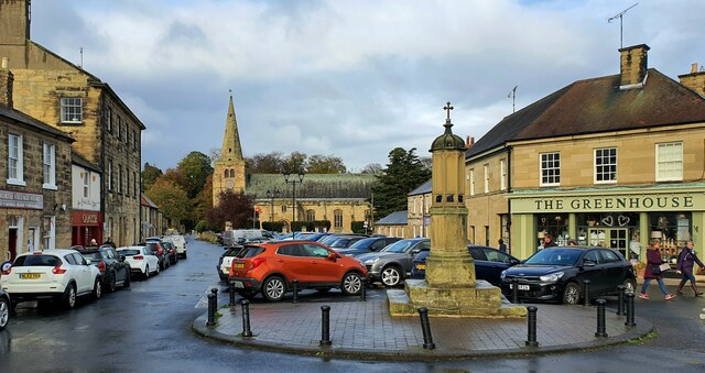
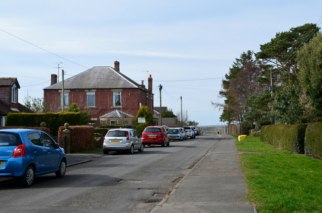
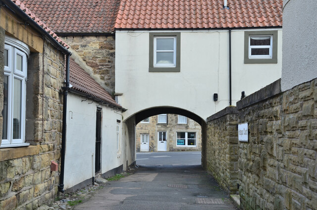
In terms of amenities, Birling boasts a charming village center with a few shops and local services catering to the needs of its residents. The village also has a primary school, which serves the local community. For recreational activities, the surrounding countryside offers excellent opportunities for hiking, cycling, and exploring the natural beauty of Northumberland.
Birling is well-connected to nearby towns and cities, with good transportation links including road and rail networks. The village provides a peaceful and idyllic setting for those seeking a rural lifestyle, while also benefiting from its proximity to larger urban areas.
Overall, Birling offers a tranquil and historic setting, with its natural beauty and rich heritage making it an attractive place to live or visit in Northumberland.
If you have any feedback on the listing, please let us know in the comments section below.
Birling Images
Images are sourced within 2km of 55.352271/-1.608274 or Grid Reference NU2406. Thanks to Geograph Open Source API. All images are credited.
Birling is located at Grid Ref: NU2406 (Lat: 55.352271, Lng: -1.608274)
Unitary Authority: Northumberland
Police Authority: Northumbria
What 3 Words
///petulant.shelf.pounding. Near Warkworth, Northumberland
Nearby Locations
Related Wikis

Birling, Northumberland
Birling is a small settlement and former civil parish, now in the parish of Warkworth, in the county of Northumberland, England. It is situated immediately...
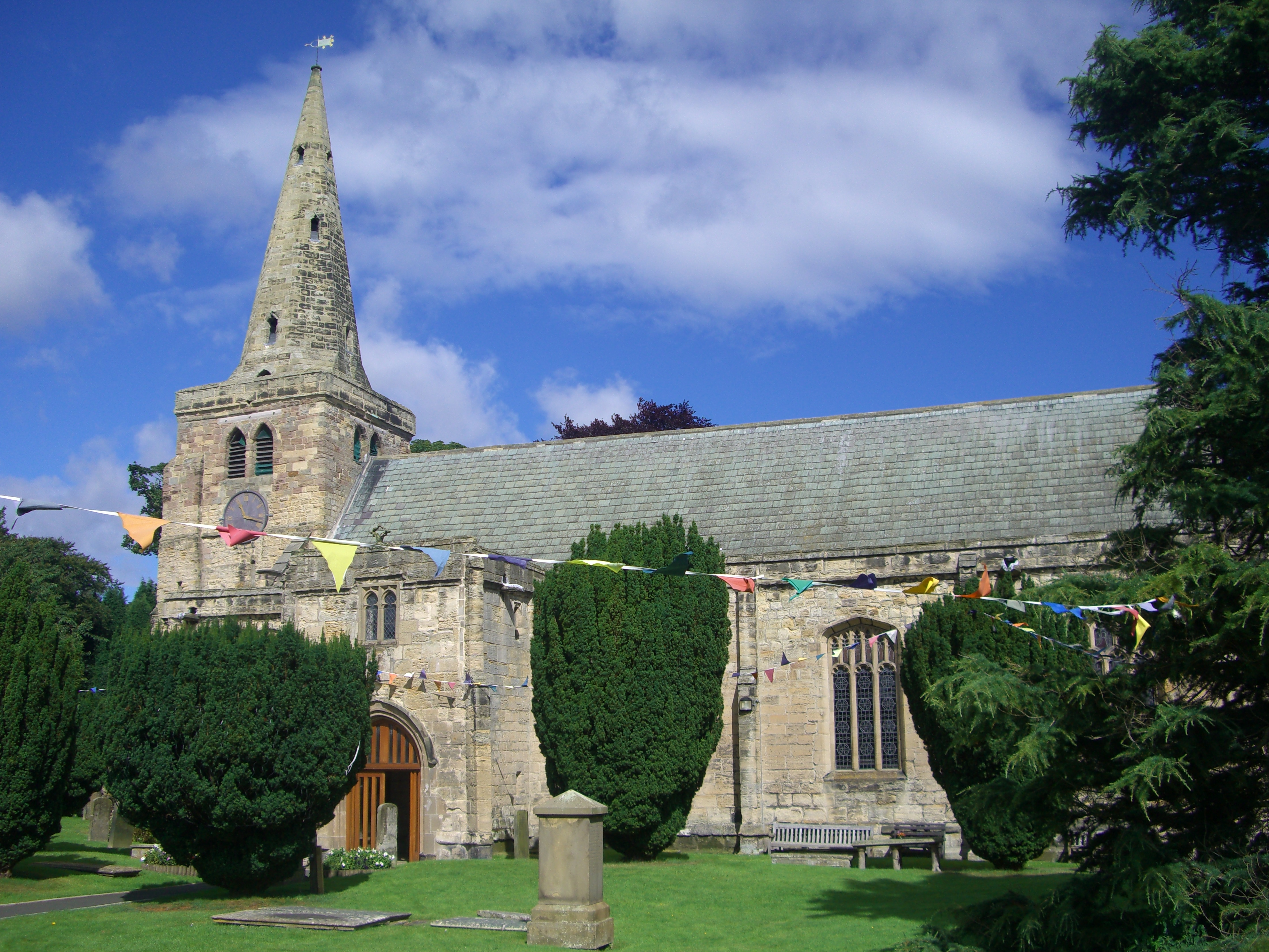
Church of St Lawrence, Warkworth
The Church of St Lawrence is situated in the village of Warkworth in Northumberland. It is a grade I listed building within the Diocese of Newcastle and...

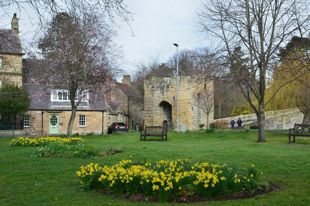
Warkworth, Northumberland
Warkworth is a village in Northumberland, England. It is probably best known for its well-preserved medieval castle, church and hermitage. The population...

Warkworth Castle
Warkworth Castle is a ruined medieval castle in Warkworth in the English county of Northumberland. The village and castle occupy a loop of the River Coquet...
Related Videos

Warkworth Castle England Walking Tour | Stunning Medieval Castle Ruins
In this video, Margaret, a tour guide with Free Tours by Foot, takes you on a walking tour through the ruined medieval Warkworth ...

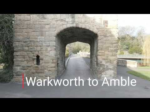
Walking around Warkworth Castle and River Coquet
A short stroll, taking in the colour and sunshine at the official end of British Summer Time.... More photo than video.

Bushwhacking trails around Warkworth, Northumberland with iWalksNE
The recent rain and sunny, warm weather has caused the vegetation to grow amazingly, making trails difficult to navigate. Top day ...
A Coast of Castles - Part 1 of 4 - Warkworth
Series 1 of a 4 part series of the most iconic Castles along our most unspoilt Northumberland coastline.
Nearby Amenities
Located within 500m of 55.352271,-1.608274Have you been to Birling?
Leave your review of Birling below (or comments, questions and feedback).