Bird's Corner
Settlement in Norfolk Breckland
England
Bird's Corner

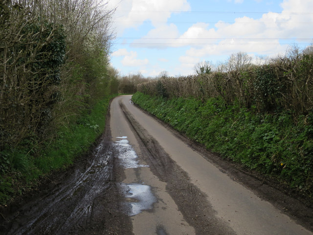
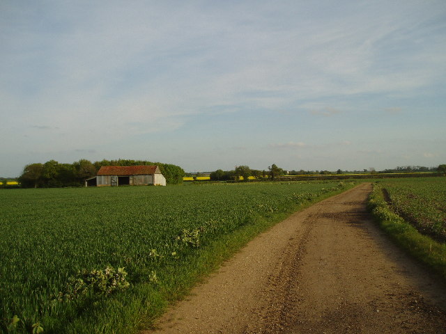
Bird's Corner is a small village located in the county of Norfolk, England. Situated approximately 5 miles northwest of the town of Dereham, it lies in the heart of the picturesque Norfolk countryside. The village is surrounded by vast fields, meadows, and farmland, offering residents and visitors a peaceful and idyllic setting.
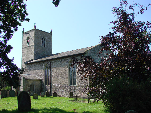
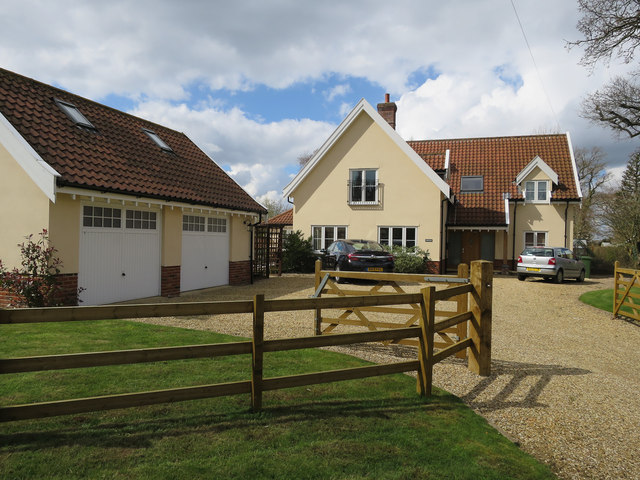
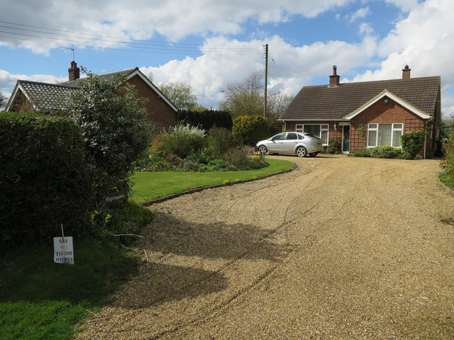
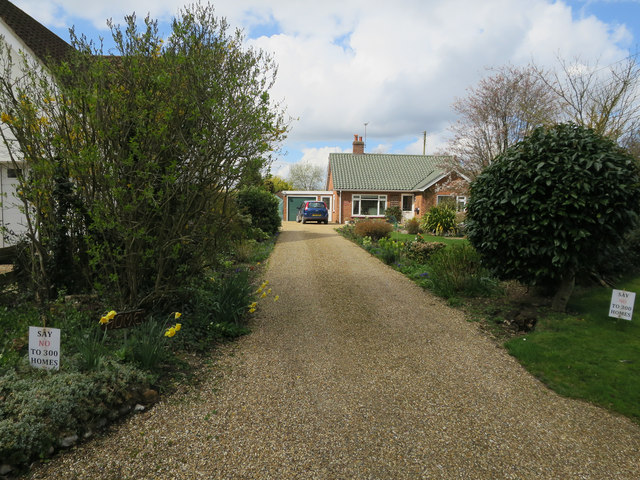
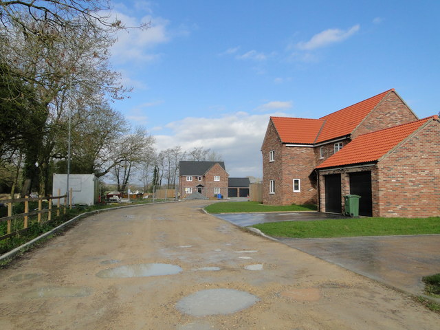
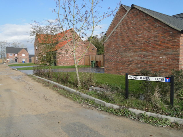
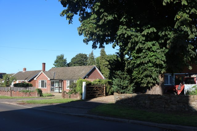
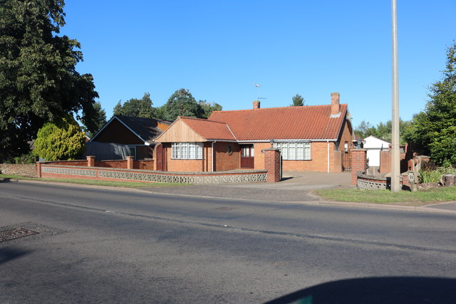
Despite its small size, Bird's Corner is home to a tight-knit community that takes great pride in maintaining the village's rural charm. The architecture of the village reflects its historical roots, with a mix of traditional thatched cottages and more modern houses. The village also boasts a quaint church, which serves as a focal point for religious and community gatherings.
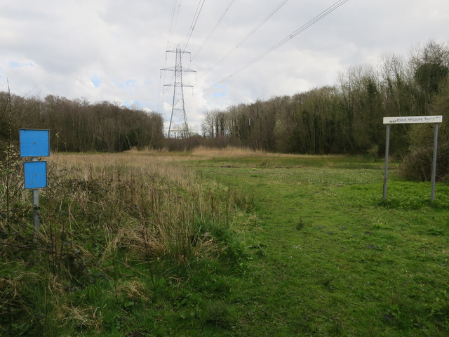
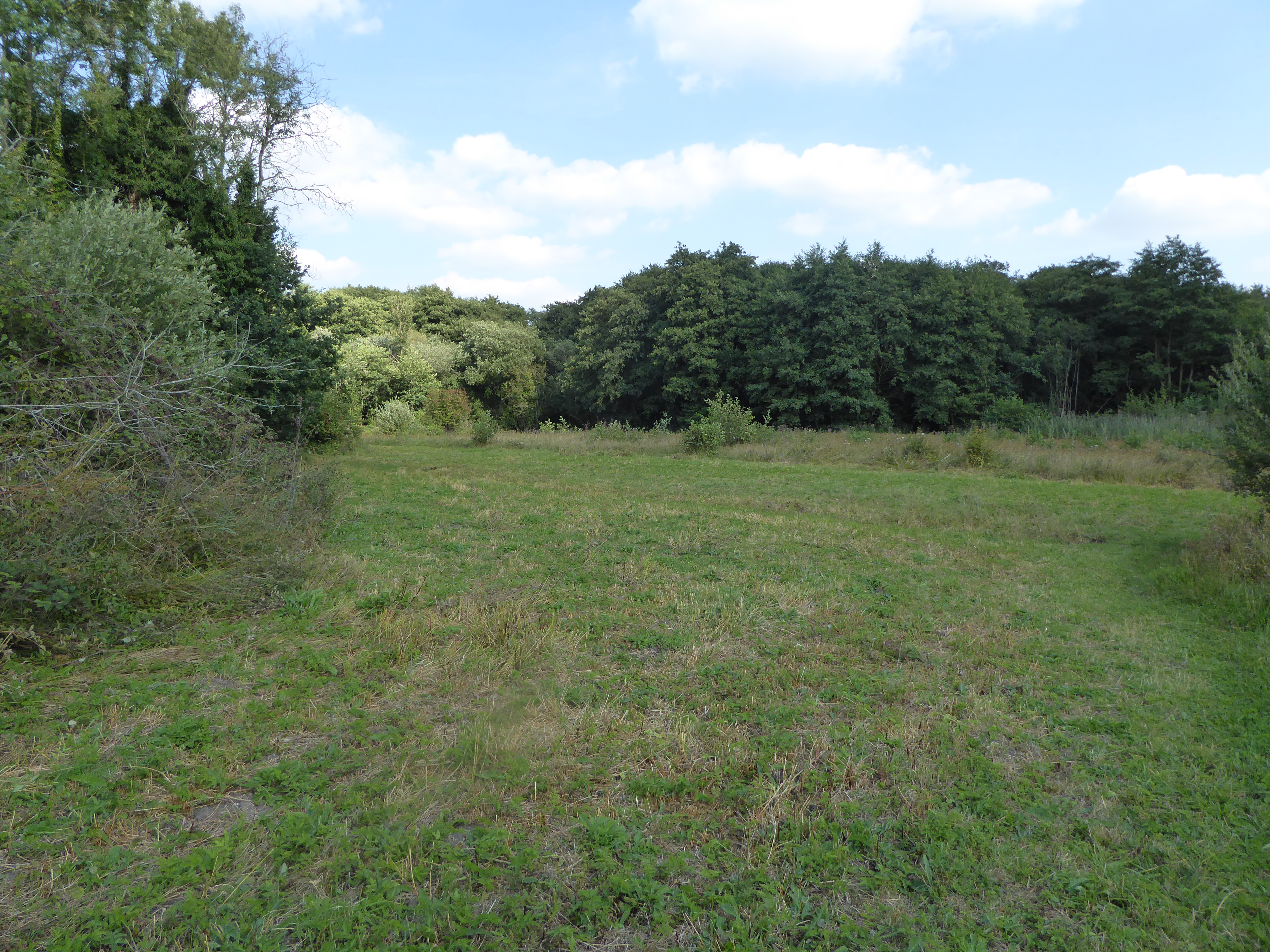
Nature enthusiasts will find plenty to explore in the area surrounding Bird's Corner. The village is located near several nature reserves and wildlife areas, providing ample opportunities for birdwatching, hiking, and nature walks. The nearby Wensum River also offers fishing and boating activities for those seeking aquatic adventures.
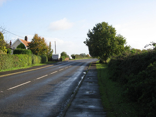
While Bird's Corner may lack the hustle and bustle of larger towns, it benefits from its close proximity to Dereham, where residents can access a wider range of amenities such as shops, schools, and healthcare facilities. Additionally, the village is well-connected to the rest of Norfolk via road networks, allowing for easy travel to nearby towns and cities.
Overall, Bird's Corner offers a serene and tranquil escape from the pressures of modern life, making it an ideal location for those seeking a peaceful rural retreat.
If you have any feedback on the listing, please let us know in the comments section below.
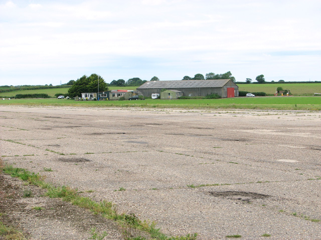
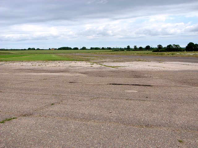
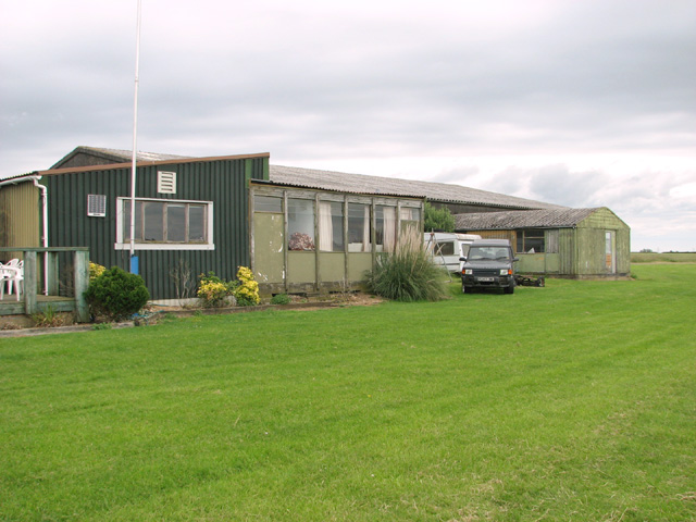
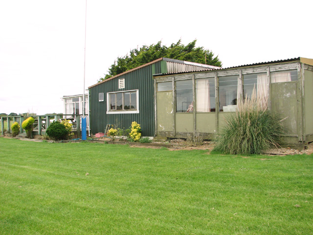
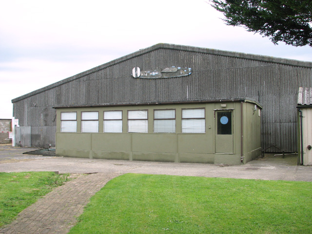
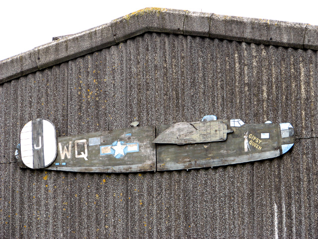
Bird's Corner Images
Images are sourced within 2km of 52.644705/0.92886235 or Grid Reference TF9809. Thanks to Geograph Open Source API. All images are credited.
Bird's Corner is located at Grid Ref: TF9809 (Lat: 52.644705, Lng: 0.92886235)
Administrative County: Norfolk
District: Breckland
Police Authority: Norfolk
What 3 Words
///fidelity.faces.builds. Near Shipdham, Norfolk
Nearby Locations
Related Wikis
Lolly Moor
Lolly Moor is a 3-hectare (7.4-acre) nature reserve south of Dereham in Norfolk. It is managed by the Norfolk Wildlife Trust.This site has wet grassland...

Yaxham Light Railway
Yaxham Light Railway is a 2 ft (610 mm) narrow gauge light railway (heritage railway) situated adjacent to Yaxham railway station on the Mid-Norfolk Railway...
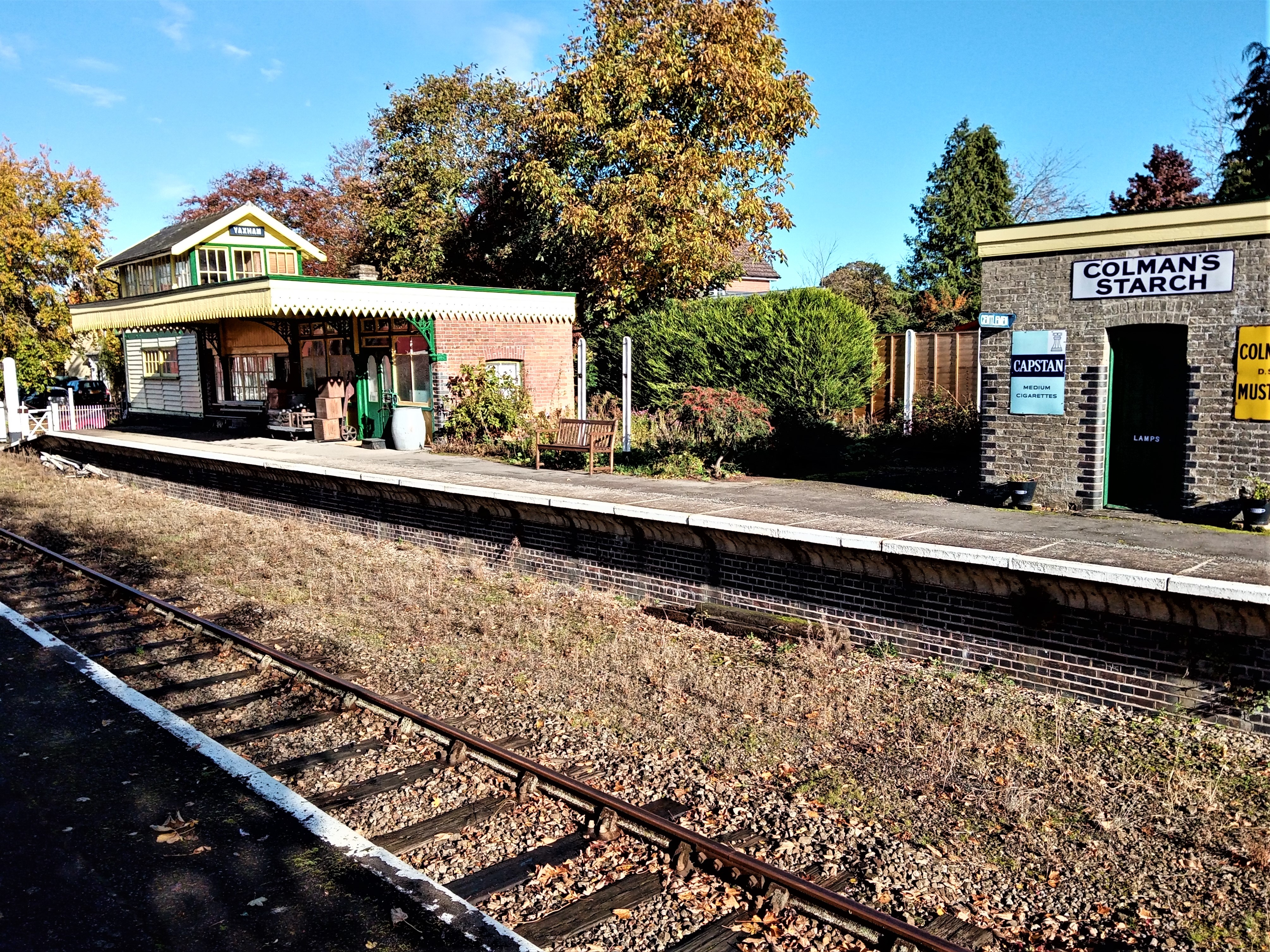
Yaxham railway station
Yaxham is a railway station in the village of Yaxham in the English county of Norfolk. The station is served by heritage services operated by the Mid-Norfolk...

Toftwood
Toftwood is a locality within the town of Dereham (where the population is included.), in the county of Norfolk in the United Kingdom.
Whinburgh and Westfield
Whinburgh and Westfield is a civil parish in the English county of Norfolk. It covers an area of 7.56 km2 (2.92 sq mi) and had a population of 307 in 134...

Potter and Scarning Fens, East Dereham
Potter and Scarning Fens, East Dereham is a 6.2-hectare (15-acre) biological Site of Special Scientific Interest south of Dereham in Norfolk. It is part...

Yaxham
Yaxham is a village and civil parish in centre of the English county of Norfolk. The parish includes the village of Yaxham, together with the neighbouring...
Scarning Fen
Scarning Fen is a 4-hectare (9.9-acre) nature reserve west in Dereham in Norfolk. It is managed by the Norfolk Wildlife Trust. It is a Nature Conservation...
Nearby Amenities
Located within 500m of 52.644705,0.92886235Have you been to Bird's Corner?
Leave your review of Bird's Corner below (or comments, questions and feedback).