Billingbear
Settlement in Berkshire
England
Billingbear
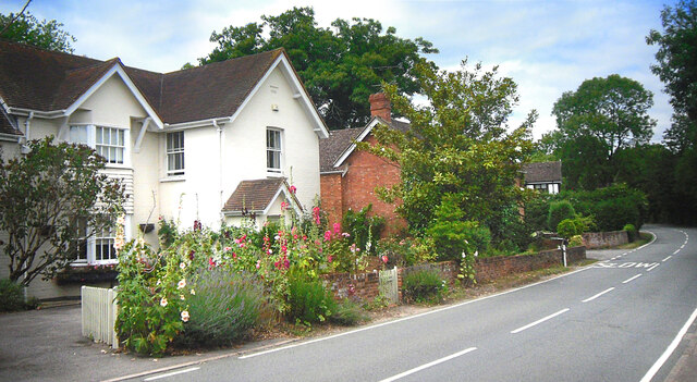
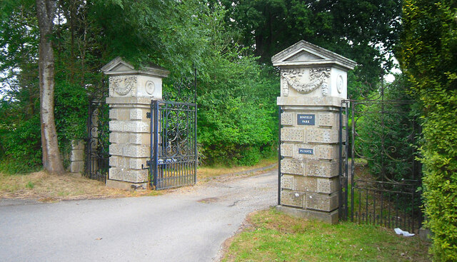
Billingbear is a small village located in the county of Berkshire, England. Situated about 6 miles northeast of Wokingham, Billingbear is known for its picturesque countryside and peaceful atmosphere. The village is part of the larger Billingbear Estate, which covers an area of approximately 250 acres.
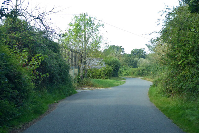
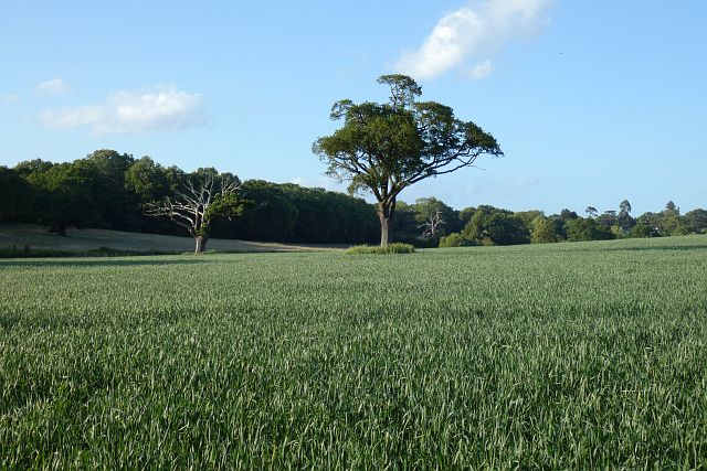
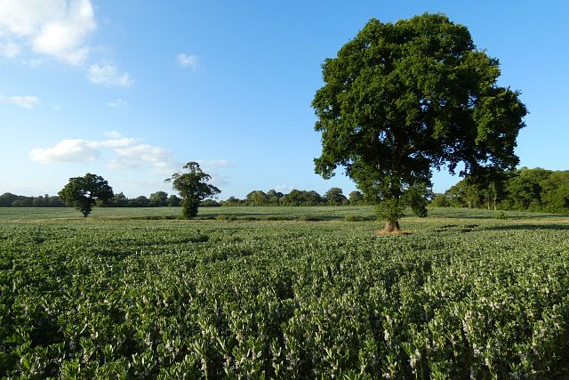
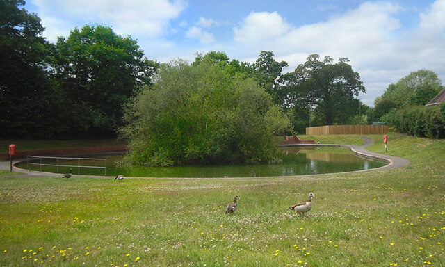
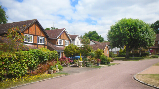
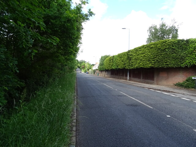
Billingbear is primarily a rural area, characterized by rolling hills, vast meadows, and dense woodlands. It offers stunning views of the surrounding countryside and is a popular destination for nature lovers and outdoor enthusiasts. The village is also home to several farms and equestrian facilities, reflecting the area's strong agricultural heritage.
The centerpiece of Billingbear is the Billingbear Park Golf Course, which is renowned for its challenging layout and scenic beauty. The 18-hole course attracts golfers of all skill levels and hosts various tournaments throughout the year. Additionally, Billingbear Park offers a range of amenities, including a clubhouse, pro shop, and practice facilities.
Despite its tranquil setting, Billingbear is conveniently located near several towns and cities. The nearby town of Wokingham provides a range of amenities, including shops, restaurants, and schools, while the bustling city of Reading is only a short drive away.
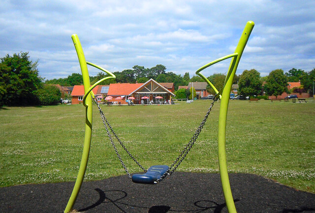
Overall, Billingbear offers a peaceful retreat from the hustle and bustle of urban life, with its natural beauty and rural charm attracting visitors and residents alike.
If you have any feedback on the listing, please let us know in the comments section below.
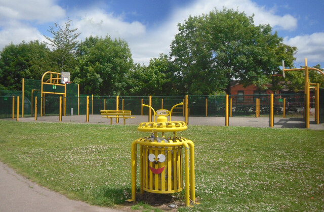
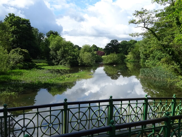
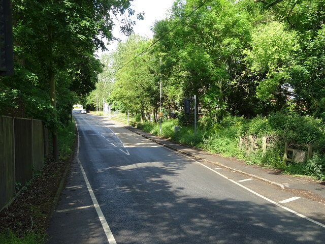
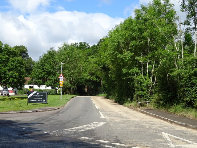
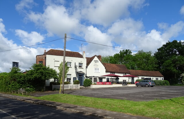
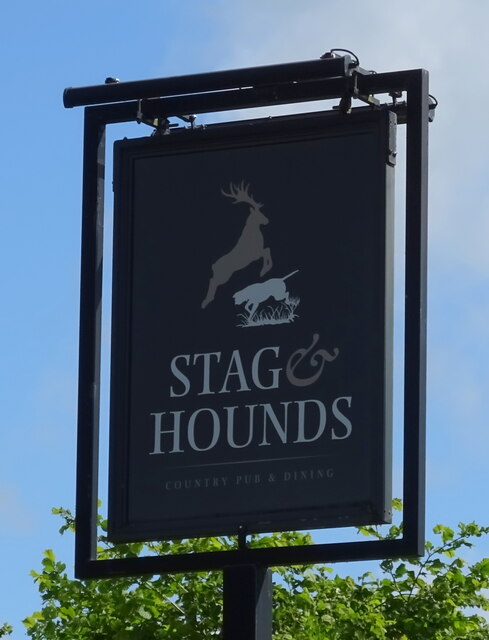
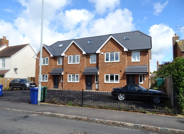
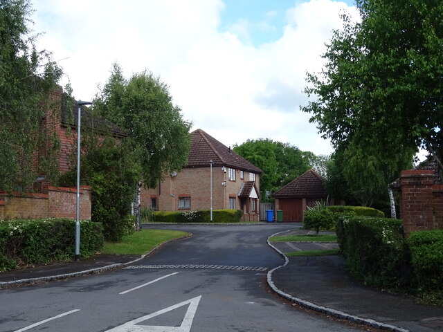
Billingbear Images
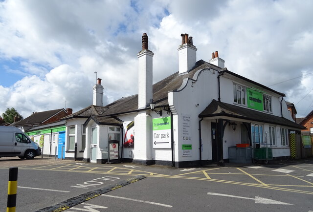
Images are sourced within 2km of 51.441678/-0.7949102 or Grid Reference SU8372. Thanks to Geograph Open Source API. All images are credited.
Billingbear is located at Grid Ref: SU8372 (Lat: 51.441678, Lng: -0.7949102)
Unitary Authority: Bracknell Forest
Police Authority: Thames Valley
What 3 Words
///drive.traps.giving. Near Binfield, Berkshire
Nearby Locations
Related Wikis

Billingbear House
Billingbear House was situated in the parish of Waltham St. Lawrence in Berkshire, England, about six miles from Windsor. Originally owned by the Bishop...

Billingbear
Billingbear is a hamlet in the civil parish of Binfield and a former country estate in the civil parish of Waltham St Lawrence, near Bracknell, in the...

Binfield
Binfield is a village and civil parish in Berkshire, England, which at the 2011 census had a population of 8,689. The village lies 2 miles (3.2 km) north...
Berks County F.C.
Berks County Football Club is a football club based in Binfield, England. They are currently members of the Combined Counties League Division One and groundshare...
Binfield F.C.
Binfield Football Club is a football club based in Binfield, near Bracknell, Berkshire, England. Affiliated to the Berks & Bucks Football Association,...
Newbold College of Higher Education
Newbold College of Higher Education is a member of the worldwide network of Seventh-day Adventist colleges and universities and attracts students from...
Newbold School
Newbold School is a private fee-paying primary school in Binfield, near Bracknell, Berkshire. The School is owned and operated by the Seventh-day Adventist...
Temple Park
Temple Park is a suburb of Bracknell in the English county of Berkshire and part of the civil parish of Binfield. It was built during the 1990s as the...
Nearby Amenities
Located within 500m of 51.441678,-0.7949102Have you been to Billingbear?
Leave your review of Billingbear below (or comments, questions and feedback).