Bethlehem
Settlement in Pembrokeshire
Wales
Bethlehem
Bethlehem is a small village located in the county of Pembrokeshire, Wales. Situated in the southwestern part of the country, it lies approximately 3 miles east of the town of Narberth. The village is nestled amidst the picturesque and rolling countryside, offering stunning views and a peaceful atmosphere.
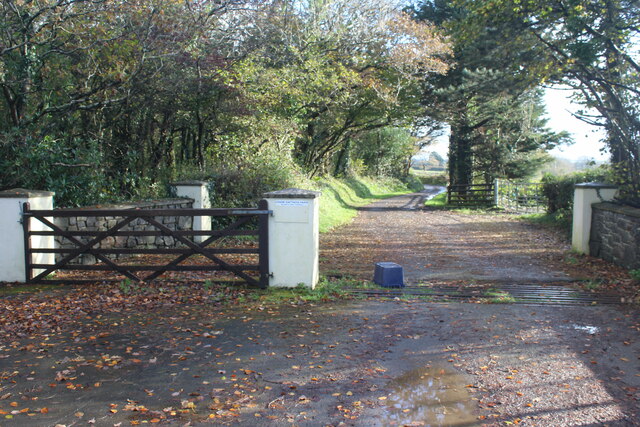
With a population of around 200 residents, Bethlehem is known for its tight-knit community and friendly atmosphere. The village is predominantly residential, consisting of a mix of traditional Welsh cottages and newer homes. The architecture reflects the charm and character of the area, with many buildings boasting beautiful stonework and thatched roofs.
Despite its small size, Bethlehem has a few amenities to cater to its residents. These include a local primary school, a village hall, and a post office. The village also has a church, St. Bethlehem's Church, which dates back to the 19th century and holds regular services.
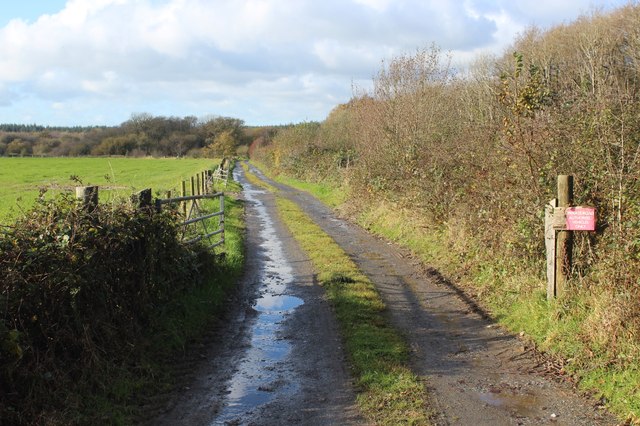
Surrounded by lush green fields and woodlands, Bethlehem offers plenty of opportunities for outdoor activities. The area is known for its scenic walking trails, with the Pembrokeshire Coast National Park and Preseli Hills within easy reach. The village is also close to several beautiful beaches, such as Amroth and Saundersfoot, making it a popular destination for tourists during the summer months.
In summary, Bethlehem is a charming and idyllic village in Pembrokeshire, renowned for its close-knit community, beautiful countryside, and easy access to stunning natural landscapes.
If you have any feedback on the listing, please let us know in the comments section below.
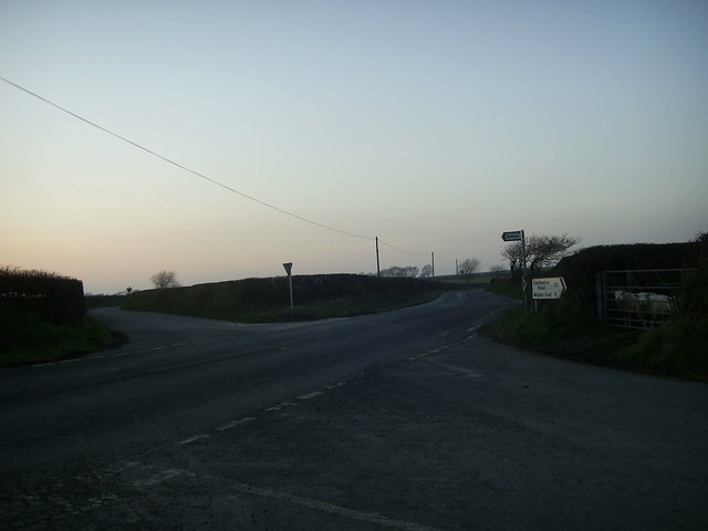
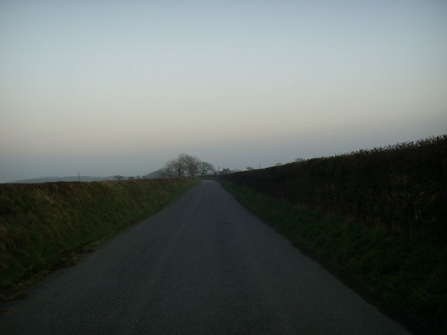
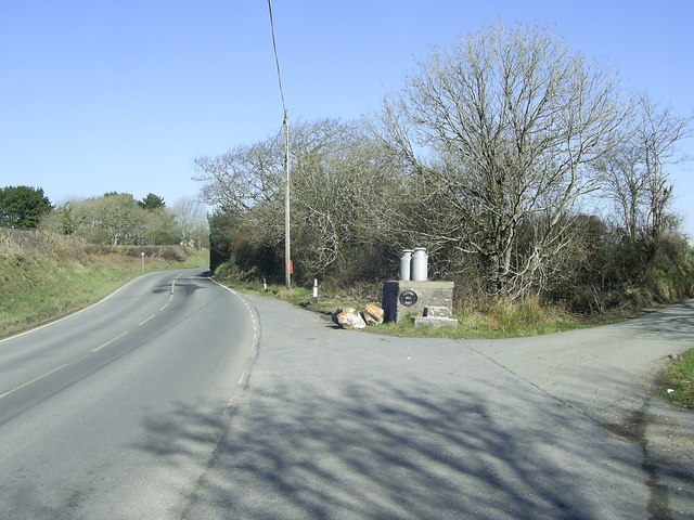
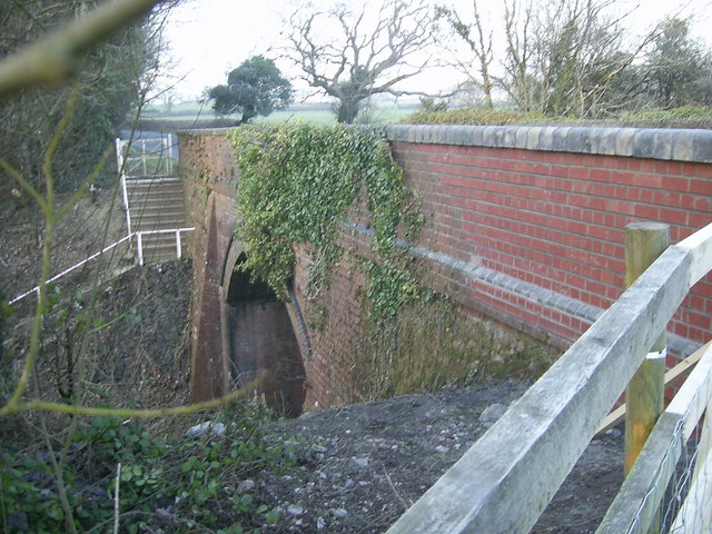
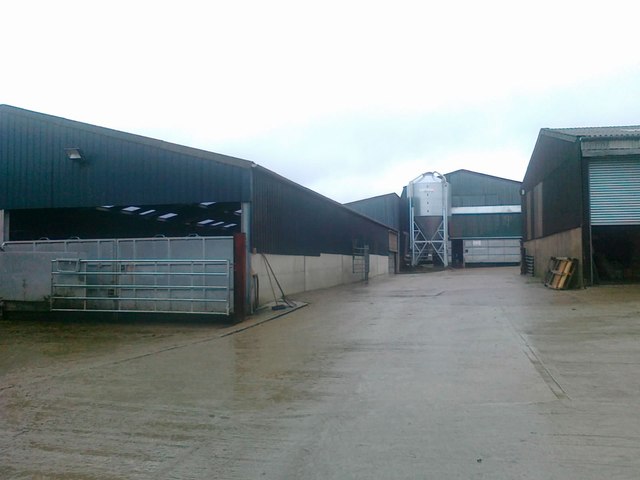
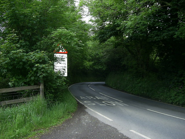
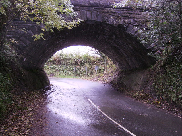
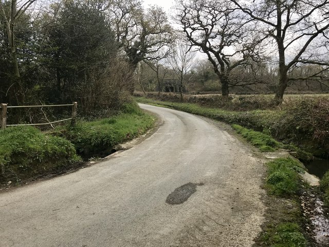
Bethlehem Images
Images are sourced within 2km of 51.848402/-4.9238395 or Grid Reference SM9820. Thanks to Geograph Open Source API. All images are credited.
Bethlehem is located at Grid Ref: SM9820 (Lat: 51.848402, Lng: -4.9238395)
Unitary Authority: Pembrokeshire
Police Authority: Dyfed Powys
What 3 Words
///stuns.issuer.ogre. Near Spittal, Pembrokeshire
Nearby Locations
Related Wikis

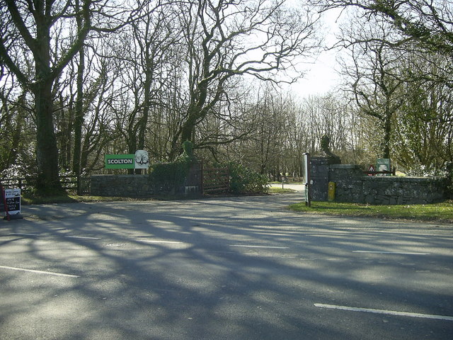
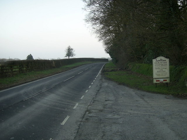
Scolton Manor
Scolton Manor is a Victorian country house and country park located in Pembrokeshire, West Wales northeast of Haverfordwest and on the borders of the Pembrokeshire...

Rudbaxton Rath
Rudbaxton Rath is a ring-shaped enclosure together with a ringed keep in the parish of Rudbaxton, Pembrokeshire, Wales. It is situated roughly 1.54 km...

St Michael's Church, Rudbaxton
St Michael's Church is a Grade I listed building and parish church in the community and parish of Rudbaxton in Pembrokeshire, Wales. The building dates...
Rudbaxton
Rudbaxton is a village, parish and a local government community in the county of Pembrokeshire, Wales. It is 81 miles (130 km) from Cardiff and 208 miles...

Spittal, Pembrokeshire
Spittal is a village, parish and community in Pembrokeshire, Wales. It is situated on the A40 trunk road, approximately halfway between Haverfordwest and...

Clarbeston Road railway station
Clarbeston Road railway station serves villages such as Clarbeston Road, Clarbeston, Wiston, Walton East and Crundale in Pembrokeshire, Wales. The station...

Crundale, Pembrokeshire
Crundale is a village near Haverfordwest in south Pembrokeshire, southwest Wales. It is the principal residential area of Rudbaxton community. The population...

Haverfordwest Airport
Haverfordwest Airport (Welsh: Maes Awyr Hwlffordd) (IATA: HAW, ICAO: EGFE), also known as Withybush Airport, is a minor airport located 2 NM (3.7 km; 2...
Nearby Amenities
Located within 500m of 51.848402,-4.9238395Have you been to Bethlehem?
Leave your review of Bethlehem below (or comments, questions and feedback).