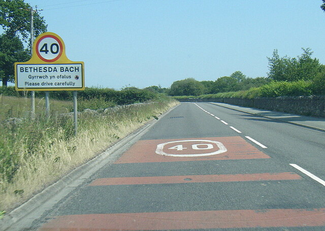
Bethesda Bach

Settlement in Caernarfonshire

Wales

Bethesda Bach

Pont dros ffordd osgoi Bontnewydd / Bridge over the Bontnewydd bypass
Pont dros ffordd osgoi Bontnewydd / Bridge over the Bontnewydd bypass Credit: Ceri Thomas

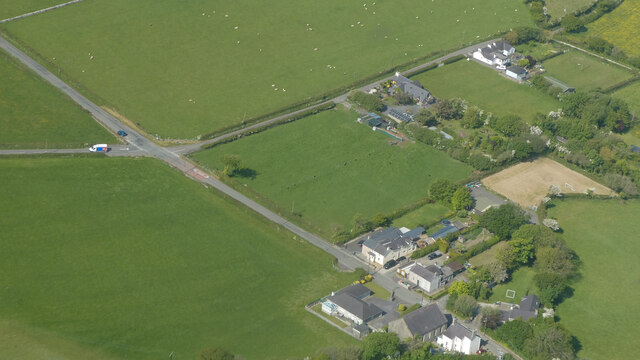
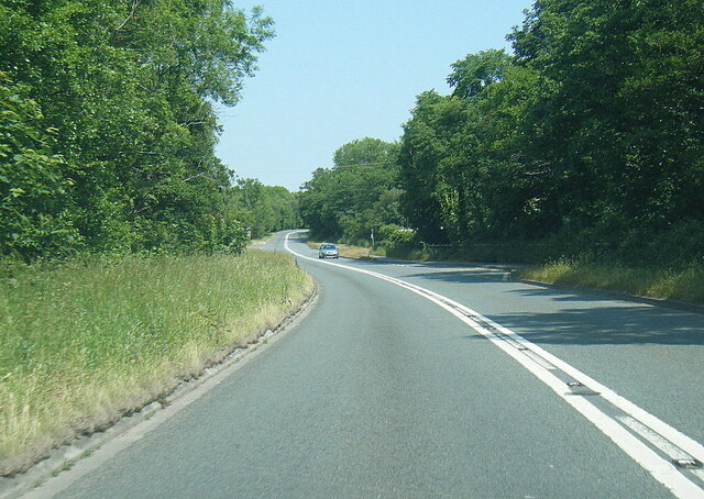
Bethesda Bach is a small village located in the historic county of Caernarfonshire, Wales. Situated in the picturesque countryside, it lies approximately 3 miles north of Caernarfon town. The village is nestled at the foot of the Snowdonia National Park, offering stunning views of the surrounding mountains and natural landscapes.

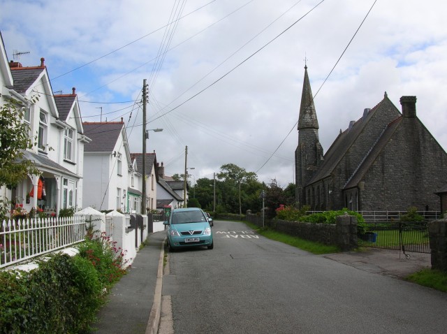
The name Bethesda Bach translates to "little Bethesda," distinguishing it from the larger Bethesda village located in Gwynedd county. Despite its size, Bethesda Bach boasts a close-knit community known for its warm hospitality and Welsh charm. The village is primarily residential, with a small number of businesses catering to local needs.

Although the village is relatively quiet, there are several notable landmarks nearby that attract tourists and outdoor enthusiasts. One such landmark is Caernarfon Castle, a magnificent medieval fortress recognized as a UNESCO World Heritage site. The castle is an important symbol of Welsh history and attracts visitors from all over the world.

The surrounding area offers plenty of opportunities for outdoor activities. The nearby Snowdonia National Park is a haven for hikers and climbers, with trails ranging from gentle walks to challenging ascents of Mount Snowdon, the highest peak in Wales. The park also offers scenic lakes, waterfalls, and wildlife, attracting nature lovers and adventure seekers alike.

Overall, Bethesda Bach is a tranquil village with a rich natural and historical heritage. It offers a peaceful retreat for those seeking a rural escape and serves as an ideal base for exploring the stunning landscapes of Snowdonia National Park.

If you have any feedback on the listing, please let us know in the comments section below.

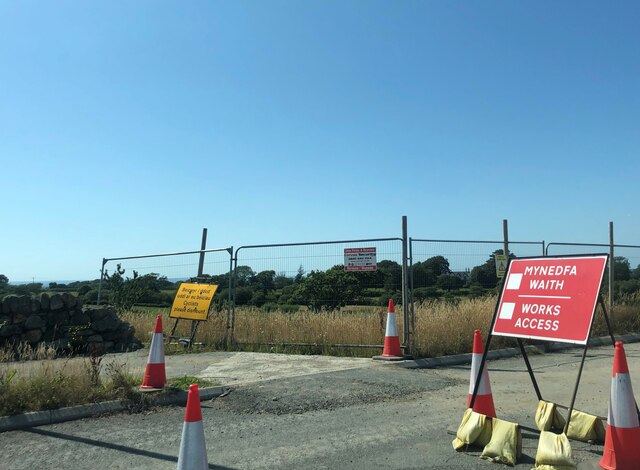
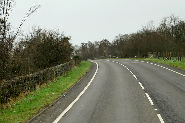
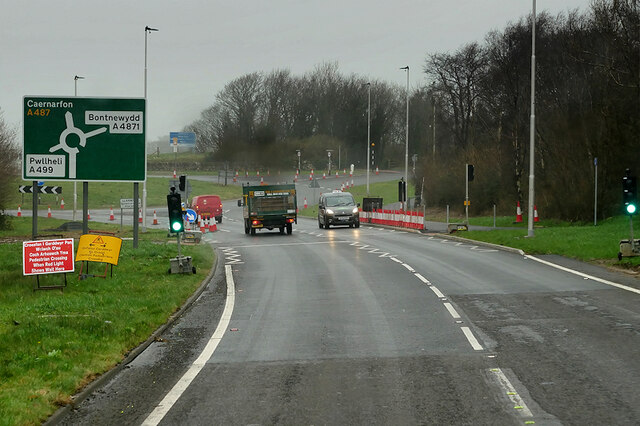
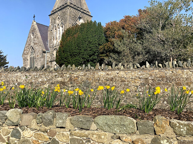
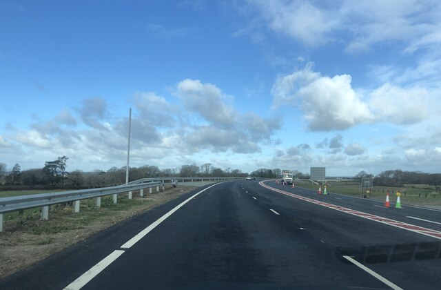
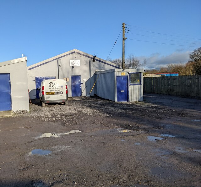
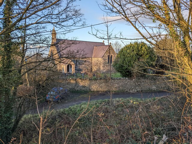
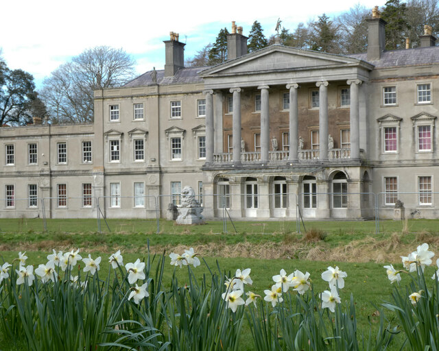
Bethesda Bach Images

Images are sourced within 2km of 53.088058/-4.2901225 or Grid Reference SH4656. Thanks to Geograph Open Source API. All images are credited.

Pont dros ffordd osgoi Bontnewydd / Bridge over the Bontnewydd bypass
Capel Glanrhyd
Capel Glanrhyd
Taith gerdded elusennol  / Charity walk (2)
Taith gerdded elusennol / Charity walk (2)
Road junction south of Llanwnda Near the start of the new Caernarfon by-pass (still under construction)
Road junction south of Llanwnda
Near the start of the new Caernarfon by-pass (still under construction)
Works access at the western end of the new Caernarfon By-pass The by-pass is due to be opened in February 2022
Works access at the western end of the new Caernarfon By-pass
The by-pass is due to be opened in February 2022
A487 at Groeslon Roundabout The A487 is one of the most important roads in Wales. It covers the majority of the west coast from St Davids to Menai Bridge, and is a primary route for most of its length, including a section where it multiplexes with the A470, another important north-south road. Along the way, it runs through two national parks: Snowdonia and Pembrokeshire Coast. Despite its length and importance, it is predominantly single carriageway, although the road has been upgraded in numerous places. It is 174 miles long.
<span class="nowrap"><a title="http://www.sabre-roads.org.uk/wiki/index.php?title=A487" rel="nofollow ugc noopener" href="http://www.sabre-roads.org.uk/wiki/index.php?title=A487">Link</a><img style="margin-left:2px;" alt="External link" title="External link - shift click to open in new window" src="https://s1.geograph.org.uk/img/external.png" width="10" height="10"/></span>
A487 at Groeslon Roundabout
The A487 is one of the most important roads in Wales. It covers the majority of the west coast from St Davids to Menai Bridge, and is a primary route for most of its length, including a section where it multiplexes with the A470, another important north-south road. Along the way, it runs through two national parks: Snowdonia and Pembrokeshire Coast. Despite its length and importance, it is predominantly single carriageway, although the road has been upgraded in numerous places. It is 174 miles long. LinkExternal link
A487 north of Groeslon The A487 is one of the most important roads in Wales. It covers the majority of the west coast from St Davids to Menai Bridge, and is a primary route for most of its length, including a section where it multiplexes with the A470, another important north-south road. Along the way, it runs through two national parks: Snowdonia and Pembrokeshire Coast. Despite its length and importance, it is predominantly single carriageway, although the road has been upgraded in numerous places. It is 174 miles long.
<span class="nowrap"><a title="http://www.sabre-roads.org.uk/wiki/index.php?title=A487" rel="nofollow ugc noopener" href="http://www.sabre-roads.org.uk/wiki/index.php?title=A487">Link</a><img style="margin-left:2px;" alt="External link" title="External link - shift click to open in new window" src="https://s1.geograph.org.uk/img/external.png" width="10" height="10"/></span>
A487 north of Groeslon
The A487 is one of the most important roads in Wales. It covers the majority of the west coast from St Davids to Menai Bridge, and is a primary route for most of its length, including a section where it multiplexes with the A470, another important north-south road. Along the way, it runs through two national parks: Snowdonia and Pembrokeshire Coast. Despite its length and importance, it is predominantly single carriageway, although the road has been upgraded in numerous places. It is 174 miles long. LinkExternal link
A487 at Goat Roundabout The A487 is one of the most important roads in Wales. It covers the majority of the west coast from St Davids to Menai Bridge, and is a primary route for most of its length, including a section where it multiplexes with the A470, another important north-south road. Along the way, it runs through two national parks: Snowdonia and Pembrokeshire Coast. Despite its length and importance, it is predominantly single carriageway, although the road has been upgraded in numerous places. It is 174 miles long.
<span class="nowrap"><a title="http://www.sabre-roads.org.uk/wiki/index.php?title=A487" rel="nofollow ugc noopener" href="http://www.sabre-roads.org.uk/wiki/index.php?title=A487">Link</a><img style="margin-left:2px;" alt="External link" title="External link - shift click to open in new window" src="https://s1.geograph.org.uk/img/external.png" width="10" height="10"/></span>
A487 at Goat Roundabout
The A487 is one of the most important roads in Wales. It covers the majority of the west coast from St Davids to Menai Bridge, and is a primary route for most of its length, including a section where it multiplexes with the A470, another important north-south road. Along the way, it runs through two national parks: Snowdonia and Pembrokeshire Coast. Despite its length and importance, it is predominantly single carriageway, although the road has been upgraded in numerous places. It is 174 miles long. LinkExternal link
Waliau Llandwrog From the garden of Ty'n Llan, the Harp Inn, looking over assorted walls to the church of St Twrog.
Waliau Llandwrog
From the garden of Ty'n Llan, the Harp Inn, looking over assorted walls to the church of St Twrog.
Caernarfon's new by-pass Five days after it was opened. It was one of the largest recent infrastructure projects in North Wales, the 9.7km bypass running from the Goat Roundabout on the A499/A487 to the Plas Menai roundabout.
Caernarfon's new by-pass
Five days after it was opened. It was one of the largest recent infrastructure projects in North Wales, the 9.7km bypass running from the Goat Roundabout on the A499/A487 to the Plas Menai roundabout.
The bike shop at Blythe Farm industrial estate
The church at Dinas
The church at Dinas
"Fe'th welais di ar lawnt y Plas" The title of the image is from a poem by ID Hooson, which means "I saw thee on the manor lawn", referring to the free spirit of daffodils in their natural state.
"Fe'th welais di ar lawnt y Plas"
The title of the image is from a poem by ID Hooson, which means "I saw thee on the manor lawn", referring to the free spirit of daffodils in their natural state.
Saron o'r awyr / Saron from the air
A499 east of Llandwrog
A499 at Bethesda Bach village boundary
A499 at Ty-hen junction
A487 Caernarfon Bypass west of Llanwnda
Show me another place!

Bethesda Bach is located at Grid Ref: SH4656 (Lat: 53.088058, Lng: -4.2901225)

Unitary Authority: Gwynedd

Police Authority: North Wales

What 3 Words

///beginning.slope.remarking. Near Llanwnda, Gwynedd

Nearby Locations

Bethesda Bach

Related Wikis

Llanwnda railway station

Llanwnda railway station served the village of Llanwnda, Gwynedd, Wales. == History == A halt named Pwllheli Road existed here on the horse-drawn Nantlle...

Groeslon railway station

Groeslon railway station served the village of Groeslon, Gwynedd, Wales. It operated first as part of the Nantlle Tramway and afterwards as a railway under...

Groeslon

Groeslon (; Welsh: Y Groeslon, "the crossroads") is a small village in the community of Llandwrog in the Welsh traditional county of Caernarfonshire....

Llanwnda, Gwynedd

Llanwnda is a village, community and electoral ward in Gwynedd, Wales. The community has a population of 1,994 as taken at the 2011 Census. It is situated...

Dinas, Gwynedd

Dinas is a large hamlet near Bontnewydd, Caernarfon, in Gwynedd, north-west Wales. It is in the ancient parish and modern community of Llanwnda and is...

Llandwrog

Llandwrog (; Welsh language: meaning 'The church of Saint Twrog') is a village and community in Gwynedd, north-west Wales, most notable for the presence...

Glynllifon

Glynllifon is the name of the old estate which belonged to the Barons Newborough, near the village of Llandwrog on the main A499 road between Pwllheli...

Dinas railway station

Dinas is a station on the narrow gauge Welsh Highland Railway, which was built in 1877 as the North Wales Narrow Gauge Railways Moel Tryfan Undertaking...

Nearby Amenities

Located within 500m of 53.088058,-4.2901225
The Stables Hotel
Note: www.thestableshotel.co.uk
Phone: +44 1286830 711
Tourism: hotel
Lat/Long: 53.0905363/-4.2858113
Power: pole
Lat/Long: 53.092502/-4.290828
Power: pole
Lat/Long: 53.0917159/-4.2909245
Power: pole
Lat/Long: 53.0909363/-4.2910184
Power: pole
Lat/Long: 53.0900036/-4.2910962
Power: pole
Lat/Long: 53.0895703/-4.2904739
Power: pole
Lat/Long: 53.0888277/-4.2894574
Power: pole
Lat/Long: 53.0882188/-4.288245
Power: pole
Lat/Long: 53.0879321/-4.2876764
Power: pole
Lat/Long: 53.0872974/-4.2863996
Power: pole
Lat/Long: 53.0867899/-4.2854099
Power: pole
Lat/Long: 53.0863211/-4.2844711
Power: pole
Lat/Long: 53.0859393/-4.283704
Bus Stop
Bus: yes
Public Transport: platform
Lat/Long: 53.0881467/-4.2898212
Bus Stop
Bus: yes
Naptan AtcoCode: 5400AWF80873
Naptan NaptanCode: gwnaptg
Public Transport: platform
Lat/Long: 53.0880161/-4.2903845
Bethesda-bach
Place: hamlet
Lat/Long: 53.0887282/-4.2906168
The data included in this document is from www.openstreetmap.org. The data is made available under ODbL.

Have you been to Bethesda Bach?

Leave your review of Bethesda Bach below (or comments, questions and feedback).