Belladrum

Settlement in Inverness-shire

Scotland

Belladrum

Kiltarlity Garage Closed since a good few years.
Kiltarlity Garage Credit: Donald H Bain

The requested URL returned error: 429 Too Many Requests

If you have any feedback on the listing, please let us know in the comments section below.
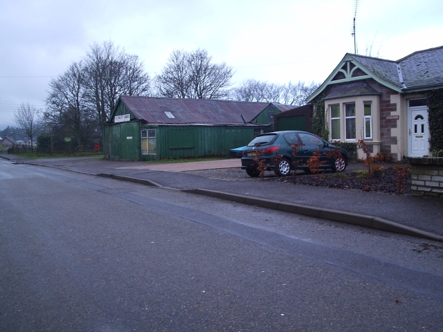
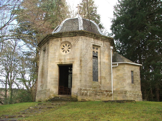
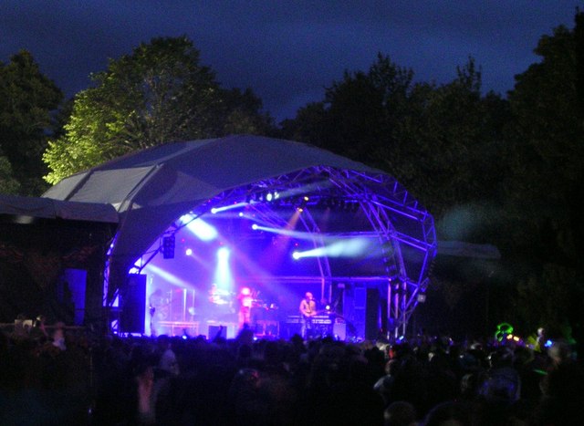
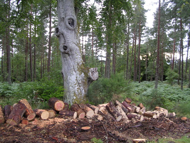
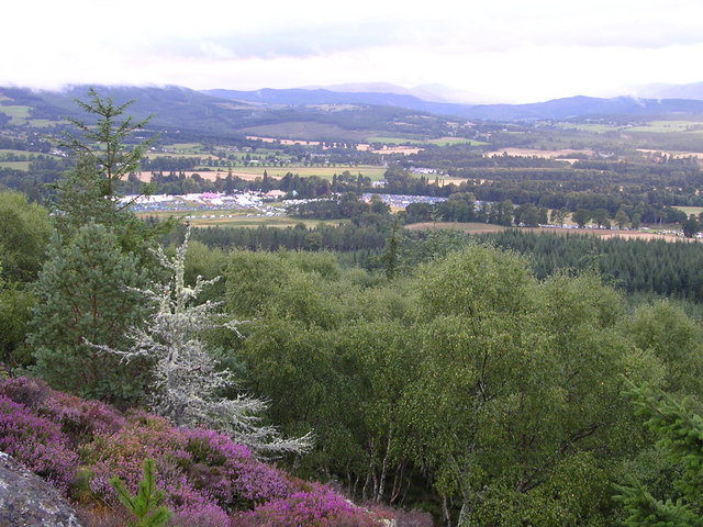
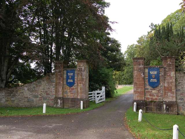
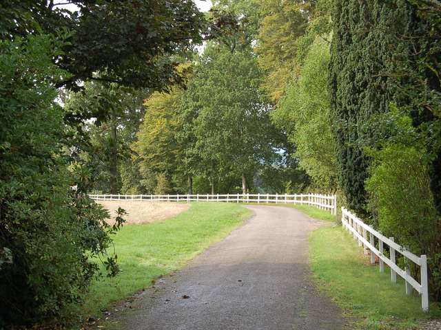
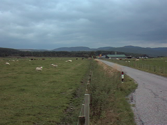
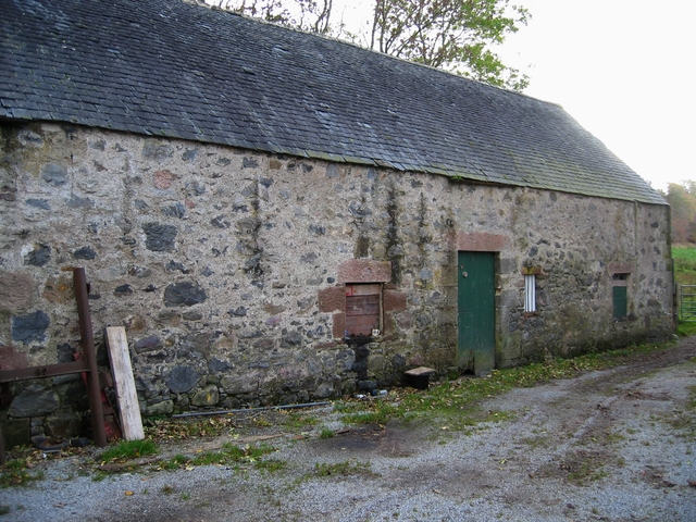
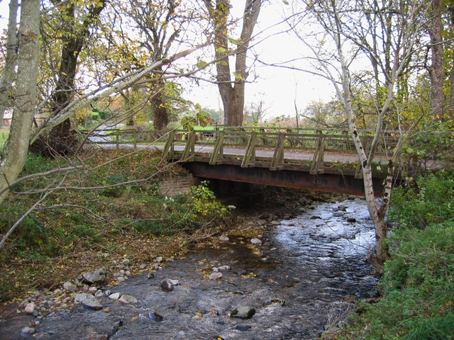
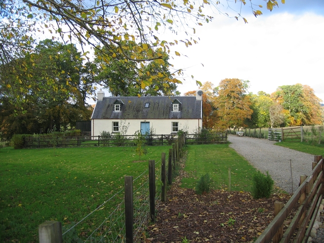
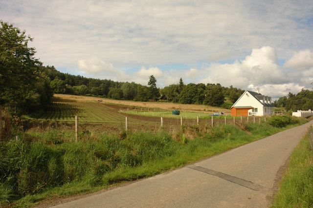
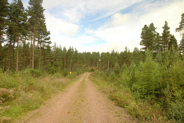
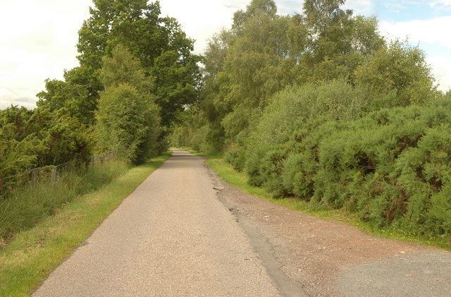
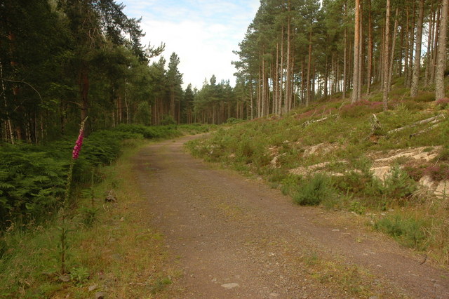
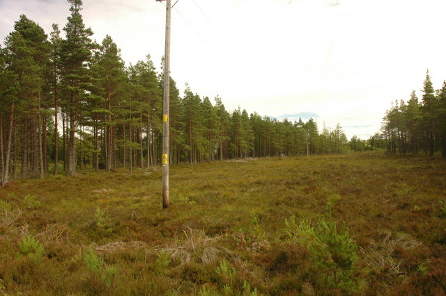
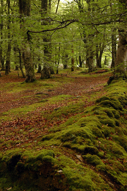
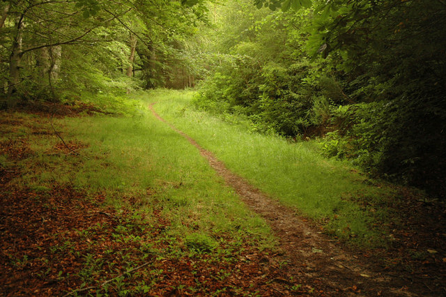
Belladrum Images

Images are sourced within 2km of 57.445097/-4.4615106 or Grid Reference NH5242. Thanks to Geograph Open Source API. All images are credited.

Kiltarlity Garage Closed since a good few years.
Kiltarlity Garage
Closed since a good few years.
Belladrum Chapel A private family chapel on the Belladrum estate, which can be hired out for weddings or baptisms.
Belladrum Chapel
A private family chapel on the Belladrum estate, which can be hired out for weddings or baptisms.
Belladrum Tartan Heart Rock Festival
Cut Wood in Belladrum Forest
Summit of Phoineas Hill Looking towards Belladrum Tartan Heart Rock Festival
Summit of Phoineas Hill
Looking towards Belladrum Tartan Heart Rock Festival
Entrance to Beaufort Castle Built in 1882, the 24-bedroomed castle is now owned by Stagecoach bus tycoon Anne Gloag.
Entrance to Beaufort Castle
Built in 1882, the 24-bedroomed castle is now owned by Stagecoach bus tycoon Anne Gloag.
Beaufort Castle driveway Built in 1882, the 24-bedroomed castle is now owned by Stagecoach bus tycoon Anne Gloag.
Beaufort Castle driveway
Built in 1882, the 24-bedroomed castle is now owned by Stagecoach bus tycoon Anne Gloag.
Auchvaich farm
Auchvaich farm
Belladrum Mill An old mill building by the Belladrum Burn.
Belladrum Mill
An old mill building by the Belladrum Burn.
Bridge on the Belladrum Burn
Dalnamine Marked as 'Duffs House' on the OS, the nameplate for this house reads 'Dalnamine'.
Dalnamine
Marked as 'Duffs House' on the OS, the nameplate for this house reads 'Dalnamine'.
New house by Cabrich A newly built house by Cabrich, one of many currently being built or renovated in this area.
New house by Cabrich
A newly built house by Cabrich, one of many currently being built or renovated in this area.
Forest track A forest track marked on the map as a clearing in this square that mainly features coniferous forest just north of Wester Clunes farm.
Forest track
A forest track marked on the map as a clearing in this square that mainly features coniferous forest just north of Wester Clunes farm.
Unclassified public road between Foxhole and Moniack The unclassified public road between Foxhole and Moniack taken from a junction with a forest track. There is evidence that the area is popular with dog walkers.
Unclassified public road between Foxhole and Moniack
The unclassified public road between Foxhole and Moniack taken from a junction with a forest track. There is evidence that the area is popular with dog walkers.
Unmarked forest track A forest track leading toward Black Wood that currently does not appear the OS map.
Unmarked forest track
A forest track leading toward Black Wood that currently does not appear the OS map.
Fire Break The firebreak as marked on the map taken from a forest track.  A power line runs through the break.
Fire Break
The firebreak as marked on the map taken from a forest track. A power line runs through the break.
Woodland A small but beautiful area of deciduous woodland next to the public road as it descends steeply. Featured are the remains of an old wall lining what was possibly at one time a road or track.
Woodland
A small but beautiful area of deciduous woodland next to the public road as it descends steeply. Featured are the remains of an old wall lining what was possibly at one time a road or track.
Forest Path A path leading into an area of coniferous forest.  It is marked as a forest track but is rather overgrown.
Forest Path
A path leading into an area of coniferous forest. It is marked as a forest track but is rather overgrown.
Show me another place!

Belladrum is located at Grid Ref: NH5242 (Lat: 57.445097, Lng: -4.4615106)

Unitary Authority: Highland

Police Authority: Highlands and Islands

What 3 Words

///mentioned.belong.solve. Near Beauly, Highland

Nearby Locations

Belladrum

Related Wikis

Belladrum, Scotland

Belladrum (Scottish Gaelic: Baile an Druim, meaning "Farm of the Ridge") is a small settlement in the Highland council area of Scotland. It is about 0...

Cabrich

Cabrich (Scottish Gaelic: Cabarach, meaning "Place of Tree-trunks") is a scattered crofting community in the Highland council area of Scotland. It is 1...

Tomnacross

Tomnacross is a small hamlet and part of the village of Kiltarlity, about 20 km west of the city of Inverness in the Highland Council area of Scotland...

Camault Muir

Camault Muir is a scattered crofting community and part of the village of Kiltarlity, in the Highland council area of Scotland. It is situated on a boggy...

Nearby Amenities

Located within 500m of 57.445097,-4.4615106
Belladrum
Place: hamlet
Lat/Long: 57.4448773/-4.4626813
Belladrum
Naptan AtcoCode: 6700714013
Naptan Bearing: NE
Naptan BusStopType: CUS
Naptan CommonName: Belladrum
Naptan Indicator: Festival Area
Naptan Landmark: Festival Area
Naptan NaptanCode: 45342395
Naptan Street: A833
Naptan Verified: no
Source: naptan_import
Lat/Long: 57.444174/-4.4639837
Power: pole
Lat/Long: 57.4431012/-4.4627392
Power: pole
Lat/Long: 57.4438942/-4.4631274
Power: pole
Lat/Long: 57.4446104/-4.463492
Power: pole
Lat/Long: 57.4454576/-4.4639238
Power: pole
Lat/Long: 57.4459197/-4.4634433
Power: pole
Lat/Long: 57.4463437/-4.4629879
Power: pole
Lat/Long: 57.4468935/-4.4624804
Power: pole
Lat/Long: 57.4476313/-4.4617595
Power: pole
Lat/Long: 57.4484676/-4.4622216
Power: pole
Lat/Long: 57.4489061/-4.461736
Power: pole
Lat/Long: 57.4494124/-4.4606539
Power: pole
Lat/Long: 57.448473/-4.462677
Power: pole
Lat/Long: 57.4485164/-4.4644918
Power: pole
Lat/Long: 57.4486611/-4.4655017
The data included in this document is from www.openstreetmap.org. The data is made available under ODbL.

Have you been to Belladrum?

Leave your review of Belladrum below (or comments, questions and feedback).