Beckhouse

Settlement in Cumberland Allerdale

England

Beckhouse

A66 near Scales Farm
A66 near Scales Farm Credit: Colin Pyle

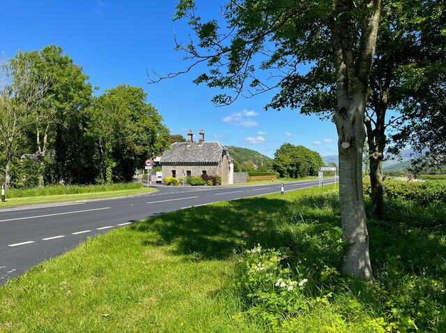
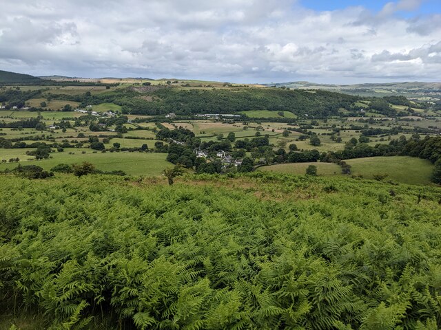
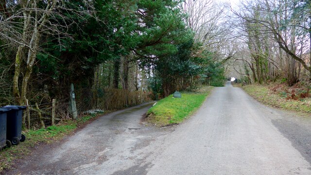
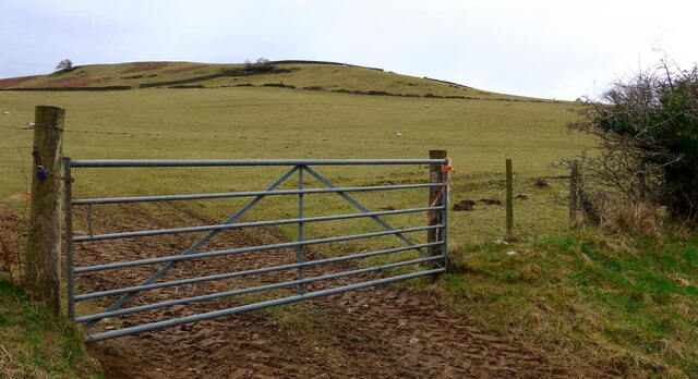
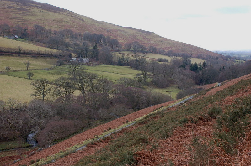
Beckhouse is a small village located in the county of Cumberland in England. Situated in the northern part of the county, it lies close to the towns of Carlisle and Brampton. The village is nestled in a picturesque rural setting, surrounded by rolling hills and farmland.

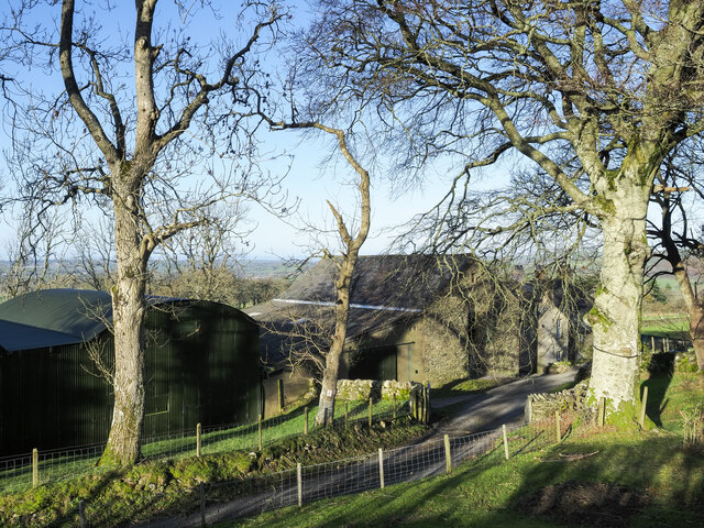
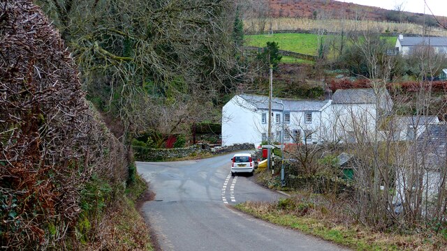
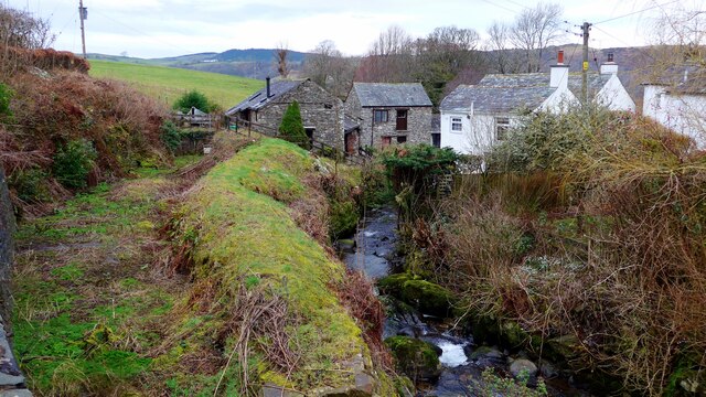
Beckhouse is a close-knit community with a population of around 200 residents. The village boasts a tranquil and peaceful atmosphere, making it an ideal place for those seeking a serene countryside lifestyle. The village is characterized by its charming stone houses and traditional architecture, which adds to its rustic appeal.

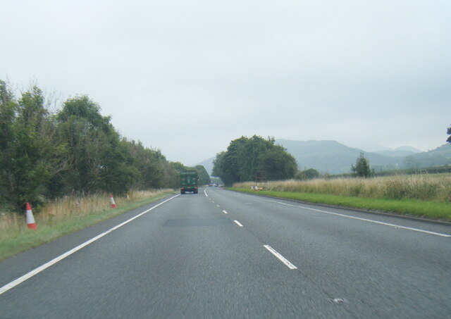
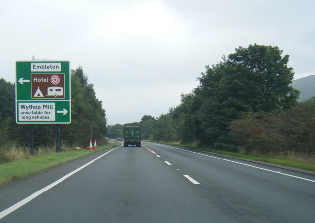
The village is well-connected to the surrounding areas by road, with several major highways passing through or near Beckhouse. This makes it easily accessible for residents and visitors alike. Despite its small size, the village has some amenities to offer, including a village hall and a local pub, where residents can gather and socialize.

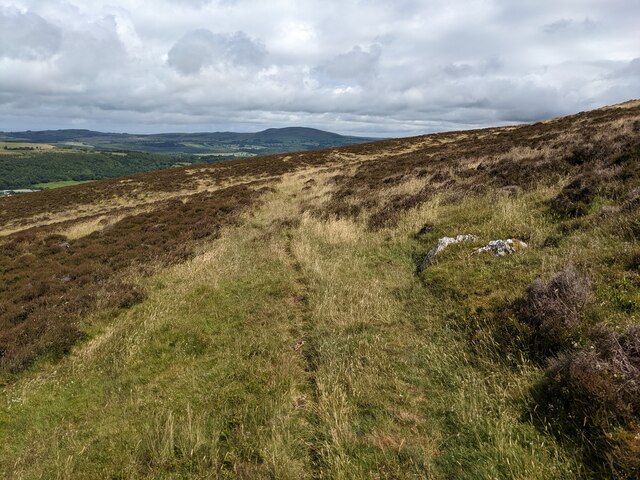
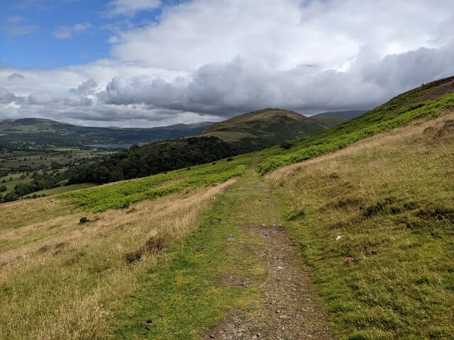
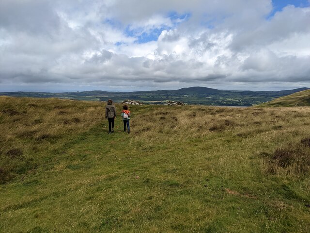
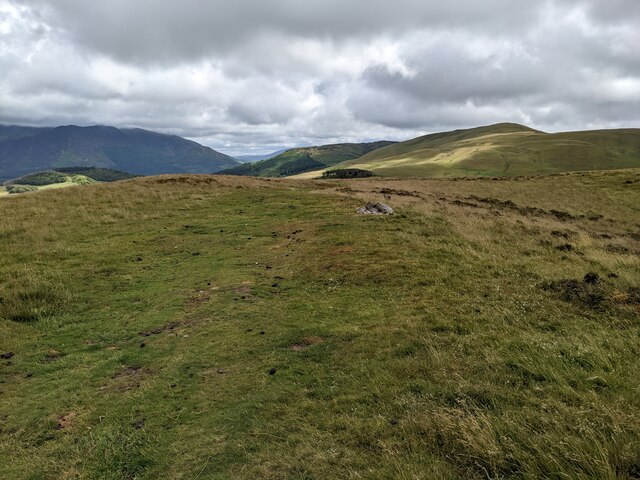
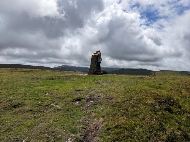
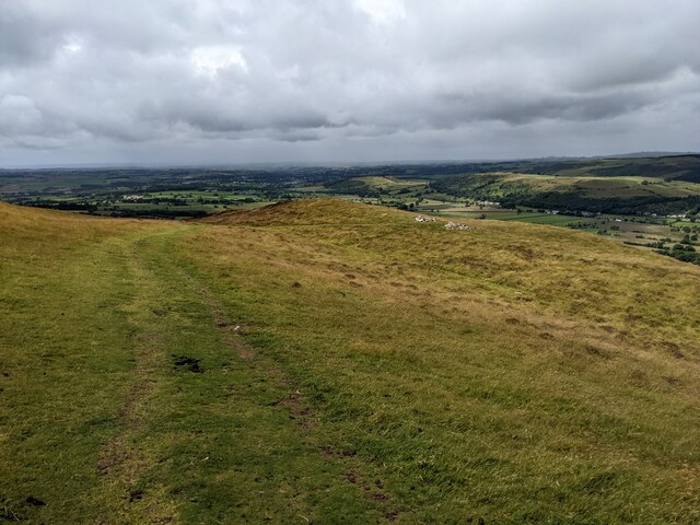
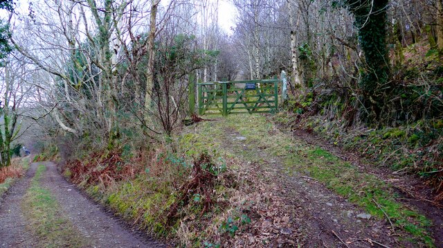
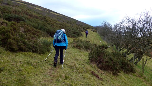
For nature enthusiasts, Beckhouse is surrounded by stunning natural beauty, with plenty of opportunities for outdoor activities such as hiking, cycling, and exploring the nearby forests and trails. The village also benefits from its proximity to the Lake District National Park, a renowned area of outstanding natural beauty, which attracts tourists from all over the world.

In summary, Beckhouse is a charming and tranquil village in Cumberland, offering a peaceful countryside lifestyle, beautiful scenery, and easy access to nearby towns and natural attractions.

If you have any feedback on the listing, please let us know in the comments section below.

Beckhouse Images

Images are sourced within 2km of 54.652649/-3.2990368 or Grid Reference NY1629. Thanks to Geograph Open Source API. All images are credited.

A66 near Scales Farm
A66 near Embleton village turn
Buildings at Jenkin Farm A variety of buildings at Jenkin Farm: a corrugated metal barn beside one built from stone, and Jenkin Cottage beyond the nearest tree.
Buildings at Jenkin Farm
A variety of buildings at Jenkin Farm: a corrugated metal barn beside one built from stone, and Jenkin Cottage beyond the nearest tree.
Hedge and trees at The Old Homestead A 'red sky in the morning' seen from The Old Homestead which is a large barn conversion at Byerstead, in use as holiday accommodation.
Hedge and trees at The Old Homestead
A 'red sky in the morning' seen from The Old Homestead which is a large barn conversion at Byerstead, in use as holiday accommodation.
Station House, Embleton Now a private dwelling, Station House stands beside the A66 road which was constructed along the route of the former Cockermouth, Keswick and Penrith Railway.
There is an Ordnance Survey cut benchmark on the north west corner of the house (photograph <a href="https://www.geograph.org.uk/photo/6898656">NY1630 : Benchmark, Station House, Lambfoot, Embleton</a>).
Station House, Embleton
Now a private dwelling, Station House stands beside the A66 road which was constructed along the route of the former Cockermouth, Keswick and Penrith Railway. There is an Ordnance Survey cut benchmark on the north west corner of the house (photograph NY1630 : Benchmark, Station House, Lambfoot, Embleton).
A track to nowhere Shown on the map as just petering out, which it does. Possibly it was used by grouse shooters.
A track to nowhere
Shown on the map as just petering out, which it does. Possibly it was used by grouse shooters.
The Corpse Road on Ling Fell Presumably once used to carry coffins, but from where to where? It goes up to the summit of Ling Fell.
The Corpse Road on Ling Fell
Presumably once used to carry coffins, but from where to where? It goes up to the summit of Ling Fell.
A track on Ling Fell It served a line of grouse butts, off to the left.
A track on Ling Fell
It served a line of grouse butts, off to the left.
Looking down towards Wythop Mill
The summit plateau of Ling Fell
The trig point on Ling Fell A small boy is about to climb it - not very obvious in the shot!
The trig point on Ling Fell
A small boy is about to climb it - not very obvious in the shot!
A grassy track on Ling Fell
Wadcrag roadend
Wadcrag roadend
Wythop Mill
Wythop Mill
Looking along the Wythop Beck The old mill race can be seen, overgrown, on the left leading down to the mill.
Looking along the Wythop Beck
The old mill race can be seen, overgrown, on the left leading down to the mill.
The track into Edwards Wood
Looking up to Ling Fell
Walkers on the path contouring around Ling Fell
Show me another place!

Beckhouse is located at Grid Ref: NY1629 (Lat: 54.652649, Lng: -3.2990368)

Administrative County: Cumbria

District: Allerdale

Police Authority: Cumbria

What 3 Words

///bottle.blessing.outgrown. Near Cockermouth, Cumbria

Nearby Locations

Beckhouse Seacross Wood

Related Wikis

Embleton, Cumbria

Embleton is a small village and civil parish located in the Allerdale district in Cumbria, England. It is located east of Cockermouth on the A66 road,...

Embleton railway station

Embleton railway station was situated on the Cockermouth, Keswick and Penrith Railway between Penrith and Cockermouth in Cumberland (now in Cumbria), England...

Ling Fell

Ling Fell is a small hill in the north west of the Lake District in the United Kingdom. It is close to the village of Wythop Mill, from where it can easily...

Slate Fell

Slate Fell is a low hill in the North Western part of the English Lake District. It lies only about a mile from the busy market town of Cockermouth, and...

Armaside

Armaside is an agricultural village in Cumbria, England, situated north of Low Lorton, south west of the River Cocker, and south east from Cockermouth...

Wythop

Wythop is a civil parish in the north of Cumbria, England, between Cockermouth and Keswick. Population details are no longer maintained and can be found...

Watch Hill (Cockermouth)

Watch Hill is a small hill lying on the north-western fringe of the Lake District in England. The name Setmurthy Common is sometimes used (including by...

Graystones

Graystones is a fell in the English Lake District. It lies in the North Western Fells region and is one of the peaks on the ridge which encircles the valley...

Nearby Amenities

Located within 500m of 54.652649,-3.2990368
Post Box
Post Box Type: wall
Ref: CA13 83
Royal Cypher: VR
Royal Cypher Wikidata: Q33102356
Lat/Long: 54.6527207/-3.2996635
Power: pole
Lat/Long: 54.652466/-3.3057307
Power: pole
Lat/Long: 54.6530043/-3.3043881
Power: pole
Lat/Long: 54.6535371/-3.3031822
Power: pole
Lat/Long: 54.6540359/-3.3019033
Power: pole
Lat/Long: 54.6545708/-3.3005805
Power: pole
Lat/Long: 54.6551479/-3.2991664
Power: pole
Lat/Long: 54.6557482/-3.2976975
Power: pole
Lat/Long: 54.6562914/-3.2963418
Hall Bank
Place: locality
Lat/Long: 54.6532254/-3.3061236
The Lazy Fish
Addr City: Embleton
Addr Postcode: CA13 9TN
Phone: +44 17687 76179
Tourism: guest_house
Website: https://www.thelazyfish.co.uk/
Lat/Long: 54.6512676/-3.2986111
Power: pole
Lat/Long: 54.6569246/-3.3001846
Power: pole
Lat/Long: 54.65656/-3.3016504
Power: pole
Lat/Long: 54.6562062/-3.3031458
Power: pole
Lat/Long: 54.6549176/-3.3053935
Power: pole
Lat/Long: 54.6540153/-3.3059299
Power: pole
Lat/Long: 54.6531867/-3.3064596
Power: pole
Lat/Long: 54.653421/-3.2918711
Power: pole
Lat/Long: 54.6528988/-3.293113
Power: pole
Lat/Long: 54.6523673/-3.2943575
Power: pole
Lat/Long: 54.6518653/-3.295586
Power: pole
Lat/Long: 54.6514875/-3.2964872
Power: pole
Lat/Long: 54.6508481/-3.2980214
Power: pole
Lat/Long: 54.6508706/-3.2996964
Power: pole
Lat/Long: 54.6508854/-3.3014774
Power: pole
Lat/Long: 54.6509001/-3.3026791
Power: pole
Lat/Long: 54.6509141/-3.3036514
Power: pole
Lat/Long: 54.6509156/-3.3049281
Power: pole
Lat/Long: 54.6516496/-3.3060908
Power: pole
Lat/Long: 54.6499284/-3.2970211
Power: pole
Lat/Long: 54.6490184/-3.2973497
Power: pole
Lat/Long: 54.6483547/-3.2975316
Power: pole
Lat/Long: 54.6487099/-3.2962295
The data included in this document is from www.openstreetmap.org. The data is made available under ODbL.

Have you been to Beckhouse?

Leave your review of Beckhouse below (or comments, questions and feedback).