Bassetts Pole

Settlement in Warwickshire North Warwickshire

England

Bassetts Pole

M6Toll
M6Toll Credit: Alexander P Kapp

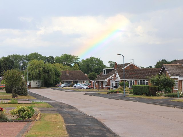
Bassetts Pole is a small rural area located in Warwickshire, England. Situated approximately 10 miles northeast of Birmingham city center, it falls within the civil parish of Curdworth. Bassetts Pole is known for its picturesque countryside, charming villages, and historical landmarks.

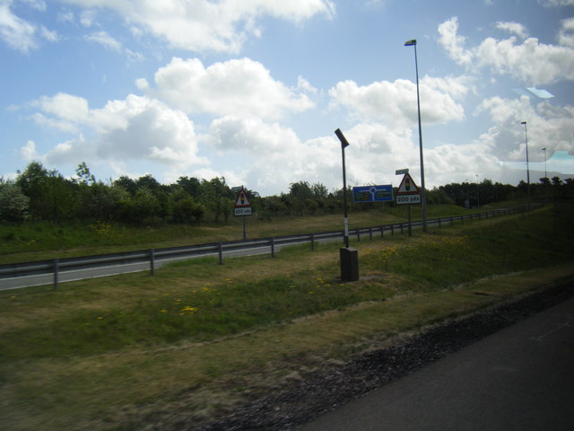
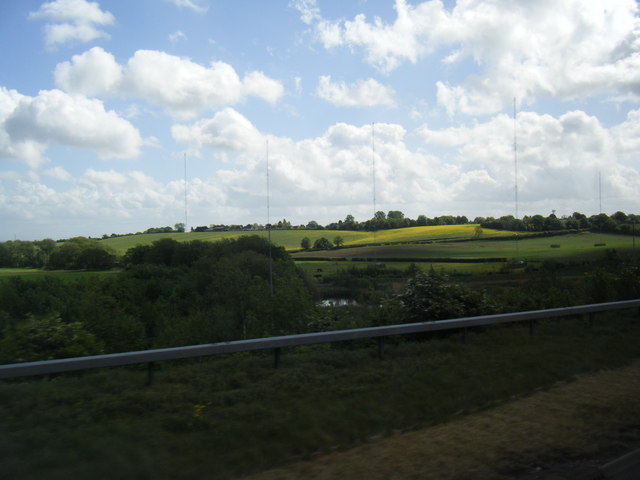
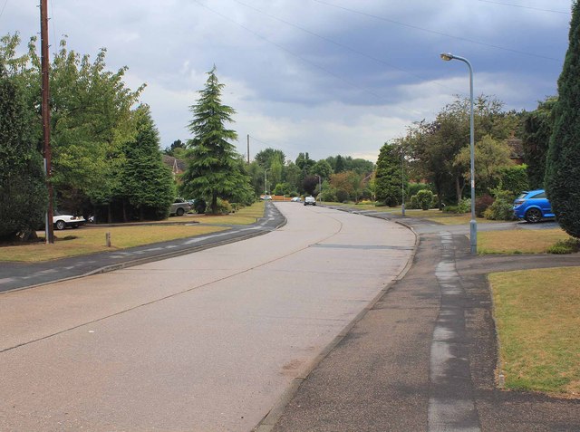
The area is surrounded by lush green fields, woodlands, and beautiful landscapes, making it an ideal location for nature lovers and outdoor enthusiasts. It is a popular spot for walking, cycling, and horse riding, with several designated trails and paths available for exploring.

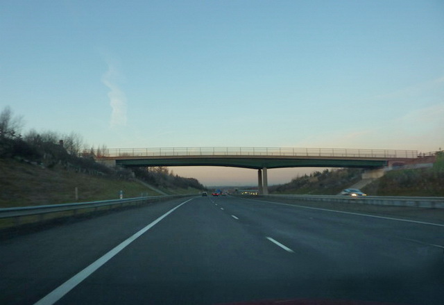
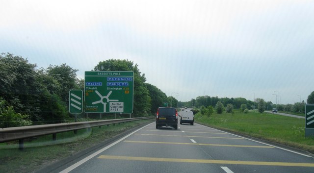
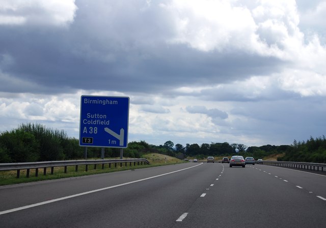
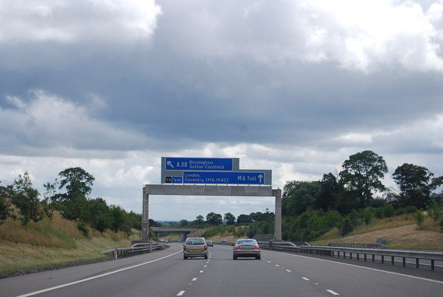
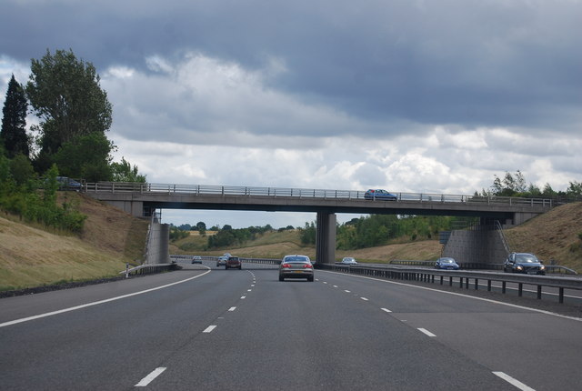
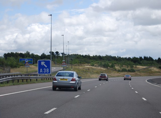
One of the notable features of Bassetts Pole is the Bassetts Pole Crossroads, a historic crossroad junction that has been a significant landmark for centuries. It serves as a meeting point for several major roads, including the A38, A446, and A453, making it a vital transportation hub for the region.

Bassetts Pole also features a range of amenities and attractions for visitors and residents alike. The area boasts a number of traditional pubs, restaurants, and cafes, where locals and tourists can enjoy a meal or a drink in a relaxed and friendly atmosphere. Additionally, there are a few small shops and businesses that cater to the needs of the community.

Overall, Bassetts Pole offers a peaceful and scenic escape from the bustling city life. With its idyllic countryside, historical landmarks, and various recreational opportunities, it is a hidden gem for those seeking a tranquil retreat in Warwickshire.

If you have any feedback on the listing, please let us know in the comments section below.

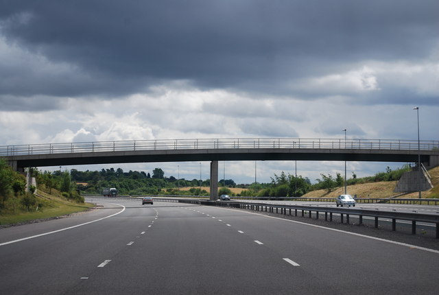
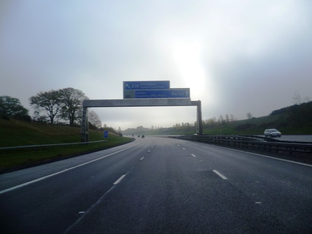
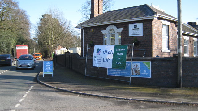
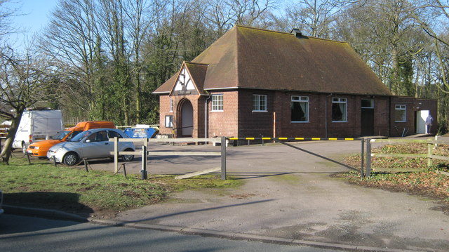
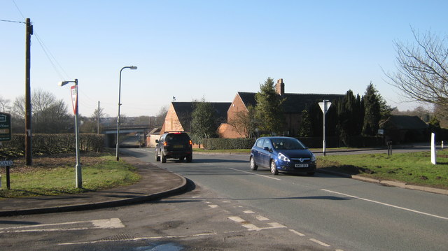
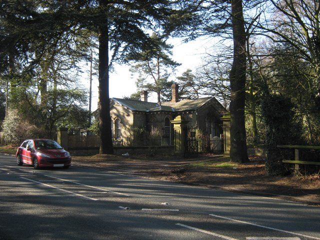
Bassetts Pole Images

Images are sourced within 2km of 52.587964/-1.7870547 or Grid Reference SP1498. Thanks to Geograph Open Source API. All images are credited.

Bassetts Pole Roundabout, A38
M6 Toll slip road to A38
Transmitter east of Sutton Coldfield seen from M6 Toll
Rainbow over Heath Croft Road A rainbow after a short, sharp, summer shower.
Rainbow over Heath Croft Road
A rainbow after a short, sharp, summer shower.
Heath Croft Road Looking SW down Heath Croft Road.
Heath Croft Road
Looking SW down Heath Croft Road.
Road sign, M6 (Toll) The M6 Toll (or Birmingham North Relief Road), connects M6 Junction 4 at the NEC to M6 Junction 11A at Wolverhampton with 27 miles of six-lane motorway. The motorway was opened in 2002 and was Britain's first toll motorway.
Road sign, M6 (Toll)
The M6 Toll (or Birmingham North Relief Road), connects M6 Junction 4 at the NEC to M6 Junction 11A at Wolverhampton with 27 miles of six-lane motorway. The motorway was opened in 2002 and was Britain's first toll motorway.
Gantry, M6 (Toll) The M6 Toll (or Birmingham North Relief Road), connects M6 Junction 4 at the NEC to M6 Junction 11A at Wolverhampton with 27 miles of six-lane motorway. The motorway was opened in 2002 and was Britain's first toll motorway.
Gantry, M6 (Toll)
The M6 Toll (or Birmingham North Relief Road), connects M6 Junction 4 at the NEC to M6 Junction 11A at Wolverhampton with 27 miles of six-lane motorway. The motorway was opened in 2002 and was Britain's first toll motorway.
Tamworth Road Bridge, M6 (Toll) The M6 Toll (or Birmingham North Relief Road), connects M6 Junction 4 at the NEC to M6 Junction 11A at Wolverhampton with 27 miles of six-lane motorway. The motorway was opened in 2002 and was Britain's first toll motorway.
Tamworth Road Bridge, M6 (Toll)
The M6 Toll (or Birmingham North Relief Road), connects M6 Junction 4 at the NEC to M6 Junction 11A at Wolverhampton with 27 miles of six-lane motorway. The motorway was opened in 2002 and was Britain's first toll motorway.
M6 (Toll), Junction T3 The M6 Toll (or Birmingham North Relief Road), connects M6 Junction 4 at the NEC to M6 Junction 11A at Wolverhampton with 27 miles of six-lane motorway. The motorway was opened in 2002 and was Britain's first toll motorway.
M6 (Toll), Junction T3
The M6 Toll (or Birmingham North Relief Road), connects M6 Junction 4 at the NEC to M6 Junction 11A at Wolverhampton with 27 miles of six-lane motorway. The motorway was opened in 2002 and was Britain's first toll motorway.
Withy Hill Road Bridge, M6 (Toll) The M6 Toll (or Birmingham North Relief Road), connects M6 Junction 4 at the NEC to M6 Junction 11A at Wolverhampton with 27 miles of six-lane motorway. The motorway was opened in 2002 and was Britain's first toll motorway.
Withy Hill Road Bridge, M6 (Toll)
The M6 Toll (or Birmingham North Relief Road), connects M6 Junction 4 at the NEC to M6 Junction 11A at Wolverhampton with 27 miles of six-lane motorway. The motorway was opened in 2002 and was Britain's first toll motorway.
M6 (Toll) The M6 Toll (or Birmingham North Relief Road), connects M6 Junction 4 at the NEC to M6 Junction 11A at Wolverhampton with 27 miles of six-lane motorway. The motorway was opened in 2002 and was Britain's first toll motorway.
M6 (Toll)
The M6 Toll (or Birmingham North Relief Road), connects M6 Junction 4 at the NEC to M6 Junction 11A at Wolverhampton with 27 miles of six-lane motorway. The motorway was opened in 2002 and was Britain's first toll motorway.
M6 Toll Road
M6 Toll Road
Footsteps Pre School and Nursery On Slade Road, B4151 near Bassetts Pole, Canwell
Footsteps Pre School and Nursery
On Slade Road, B4151 near Bassetts Pole, Canwell
Quinney Hall, Canwell View of village hall from B4151
Quinney Hall, Canwell
View of village hall from B4151
London Road junction with Slade Road B4151 junction with London Road near Canwell
London Road junction with Slade Road
B4151 junction with London Road near Canwell
Buzzards Valley Wholesale florist and vineyard on Shirrall Drive

<span class="nowrap"><a title="http://www.excelsiorwholesale.co.uk/page.asp?p=30002&usrID=A92F4FA1-70DD-4ABC-A70E-901F92FC95F1" rel="nofollow ugc noopener" href="http://www.excelsiorwholesale.co.uk/page.asp?p=30002&usrID=A92F4FA1-70DD-4ABC-A70E-901F92FC95F1">Link</a><img style="margin-left:2px;" alt="External link" title="External link - shift click to open in new window" src="https://s1.geograph.org.uk/img/external.png" width="10" height="10"/></span>
Buzzards Valley
Wholesale florist and vineyard on Shirrall Drive LinkExternal link
Gatehouse to Canwell Hall On A453,Carroway Head Hill
Gatehouse to Canwell Hall
On A453,Carroway Head Hill
Show me another place!

Bassetts Pole is located at Grid Ref: SP1498 (Lat: 52.587964, Lng: -1.7870547)

Administrative County: Warwickshire

District: North Warwickshire

Police Authority: Warwickshire

What 3 Words

///manuals.decorate.valuables. Near Sutton Coldfield, West Midlands

Nearby Locations

Bassetts Pole

Related Wikis

Roughley

Roughley is an electoral ward within the Royal Town of Sutton Coldfield, and is the most northerly part of the administrative area covered by the Royal...

Bassetts Pole

Bassetts Pole is an area at the Staffordshire–West Midlands–Warwickshire tripoint. Population details can be found under Middleton, Warwickshire. It is...
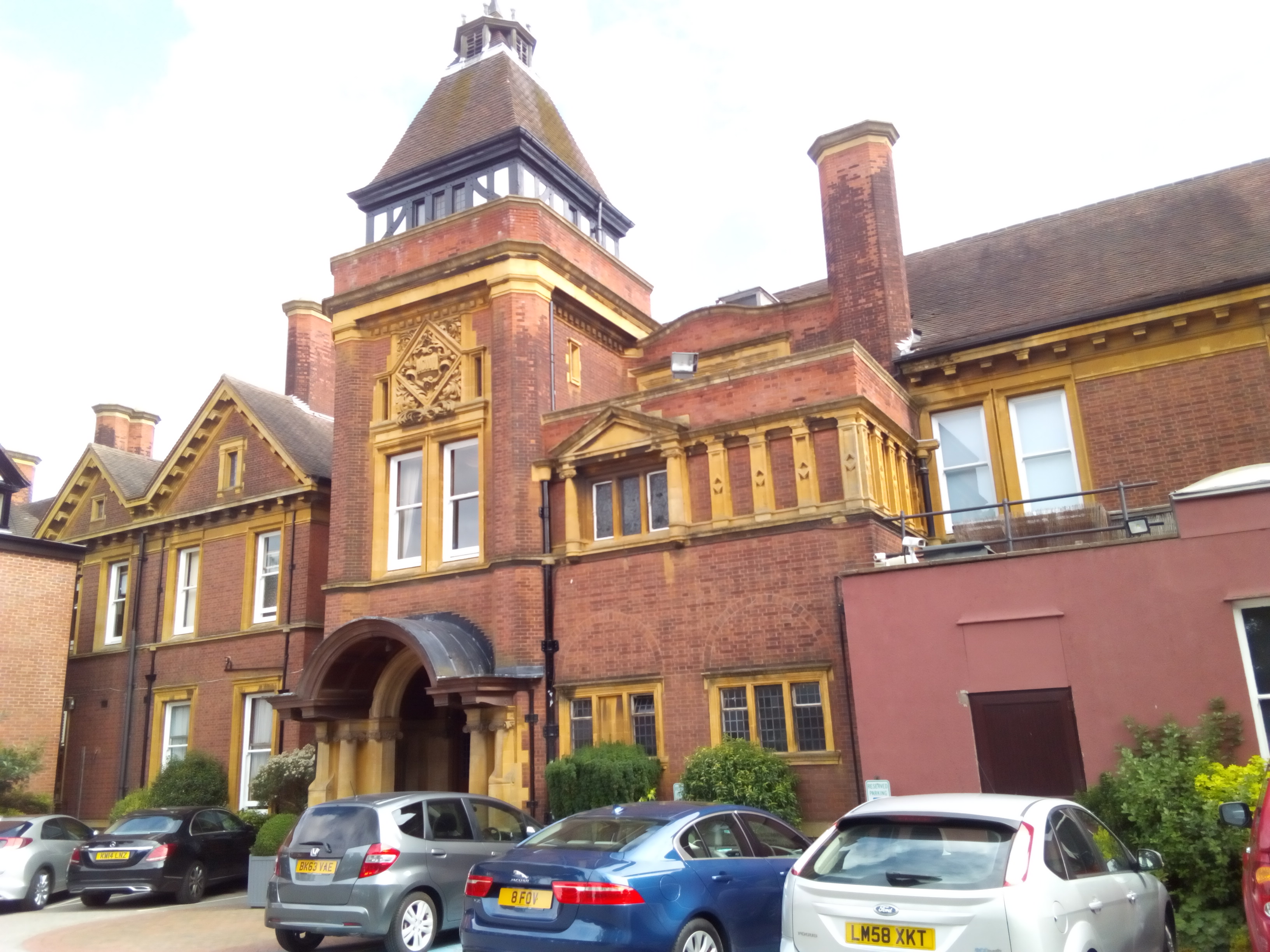
Moor Hall

The Moor Hall is a 1905 house, built for Colonel Edward Ansell of Ansells Brewery, in Sutton Coldfield, Birmingham, England. It has been used as a hotel...

St George's Barracks, Sutton Coldfield

St George's Barracks, Sutton Coldfield was a military installation in Sutton Coldfield. == History == Originally built in 1942 as the home of 216 Maintenance...

Whitehouse Common

Whitehouse Common is an area of Sutton Coldfield, Birmingham, England. It lies north of Falcon Lodge which is separated from it by a main road. The area...

St James' Church, Mere Green

St James’ Church is a Grade II listed Church of England parish church in Mere Green, Sutton Coldfield, England. == History == It was founded as a daughter...

Sutton Four Oaks (ward)

Sutton Four Oaks is one of the 40 electoral wards in Birmingham, England.Sutton Four Oaks is one of the four wards that make up the Parliamentary Constituency...

Falcon Lodge

Falcon Lodge (SP 141 962) is the area of Sutton Coldfield, Birmingham, West Midlands, England, covered in predominantly council houses forming the Falcon...

Nearby Amenities

Located within 500m of 52.587964,-1.7870547
Traffic Signals
Source: survey
Lat/Long: 52.5898509/-1.7831076
Traffic Signals
Source: survey
Lat/Long: 52.591428/-1.7836697
Traffic Signals
Source: survey
Lat/Long: 52.5902135/-1.7845506
Traffic Signals
Source: survey
Lat/Long: 52.5911131/-1.7823892
Traffic Signals
Source: survey
Lat/Long: 52.591281/-1.7836843
Traffic Signals
Source: survey
Lat/Long: 52.5902817/-1.784332
Post Box
Ref: B75 1263
Lat/Long: 52.5880963/-1.7869342
Barrier: stile
Lat/Long: 52.5862568/-1.7901538
Bus Stop
Tamworth Rd / Fox Hill Road
NaPTANAreaCode: 43000557501
Asset Ref: 503819
Bus: yes
Layby: yes
Location: Tamworth Road;Basset's Pole
Naptan AtcoCode: 43000557501
Naptan Bearing: SW
Naptan BusStopType: MKD
Naptan CommonName: Fox Hill Road
Naptan Indicator: opp
Naptan NaptanCode: nwmgtdwm
Naptan PlusbusZoneRef: BHAMNWS
Naptan Status: ACT
Naptan StopType: BCT
Naptan Street: TAMWORTH RD
Naptan Towards: Sutton Coldfield
Public Transport: platform
Route Ref: 75A;110
Shelter: yes
Shelter Ref: 503819
Source: WMCA
Towards: Sutton Coldfield
Lat/Long: 52.5874253/-1.7884607
Bus Stop
Tamworth Rd / Fox Hill Road
Asset Ref: 0557502
Bus: yes
Layby: yes
Location: Tamworth Road;Bassets Pole
Naptan AtcoCode: 43000557502
Naptan Bearing: NE
Naptan BusStopType: MKD
Naptan CommonName: Fox Hill Road
Naptan Indicator: before
Naptan NaptanCode: nwmtjwdp
Naptan PlusbusZoneRef: BHAMNWS
Naptan Status: ACT
Naptan StopType: BCT
Naptan Street: TAMWORTH RD
Naptan Towards: Tamworth
Public Transport: platform
Route Ref: 75A;110
Shelter: no
Source: WMCA
Towards: Bassetts Pole;Tamworth
Lat/Long: 52.5876157/-1.788491
Traffic Signals
Source: survey
Lat/Long: 52.5899722/-1.7831015
Traffic Signals
Source: survey
Lat/Long: 52.5911164/-1.7826293
Crossing
Crossing: traffic_signals
Kerb: flush
Tactile Paving: yes
Lat/Long: 52.5911025/-1.7826019
Note: National speed limit sign
Lat/Long: 52.5915562/-1.7839201
Grit Bin
Lat/Long: 52.5880328/-1.7874278
Grit Bin
Lat/Long: 52.5881012/-1.7870876
Hill Lane / Colletts Brook
Naptan AtcoCode: 43000557002
Naptan Bearing: W
Naptan BusStopType: CUS
Naptan CommonName: Colletts Brook
Naptan Indicator: near
Naptan NaptanCode: nwmtpgdp
Naptan Status: ACT
Naptan StopType: BCT
Naptan Street: HILL LANE
Route Ref: 75A
Source: WMCA
Lat/Long: 52.5877261/-1.7835872
Hill Lane / Colletts Brook
Naptan AtcoCode: 43000557001
Naptan Bearing: E
Naptan BusStopType: CUS
Naptan CommonName: Colletts Brook
Naptan Indicator: adj
Naptan NaptanCode: nwmtpdwa
Naptan Status: ACT
Naptan StopType: BCT
Naptan Street: HILL LANE
Route Ref: 75A
Source: WMCA
Lat/Long: 52.5877171/-1.7835872
The data included in this document is from www.openstreetmap.org. The data is made available under ODbL.

Have you been to Bassetts Pole?

Leave your review of Bassetts Pole below (or comments, questions and feedback).