Bassendean
Settlement in Berwickshire
Scotland
Bassendean
Bassendean is a village located in the historical county of Berwickshire, in the Scottish Borders region of Scotland. Situated on the eastern banks of the River Tweed, it lies approximately 4 miles northwest of the town of Coldstream and 12 miles southeast of the town of Duns.
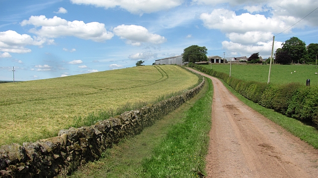
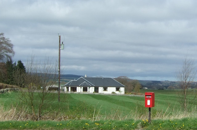
The village of Bassendean is known for its picturesque setting amidst rolling hills and scenic countryside. With a population of around 200 residents, it boasts a tranquil and close-knit community atmosphere. The village is characterized by a charming mix of traditional stone-built houses, some dating back to the 18th century, along with modern residential developments.
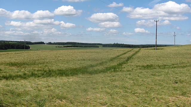
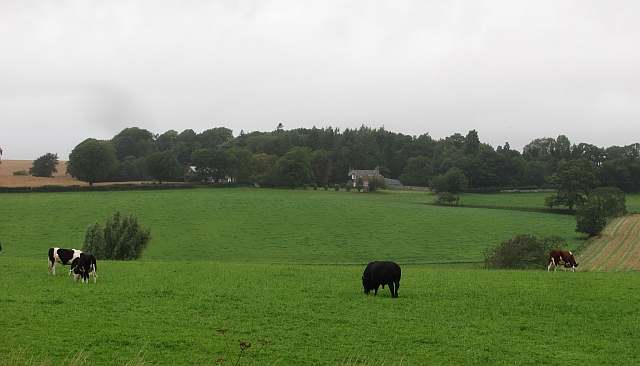
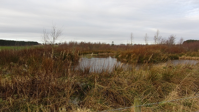
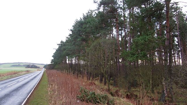
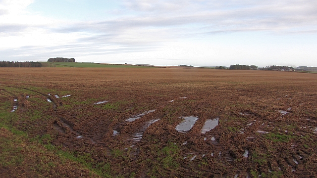
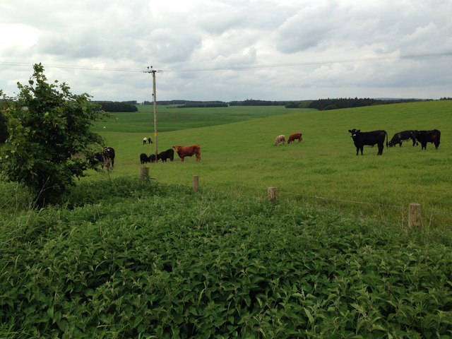
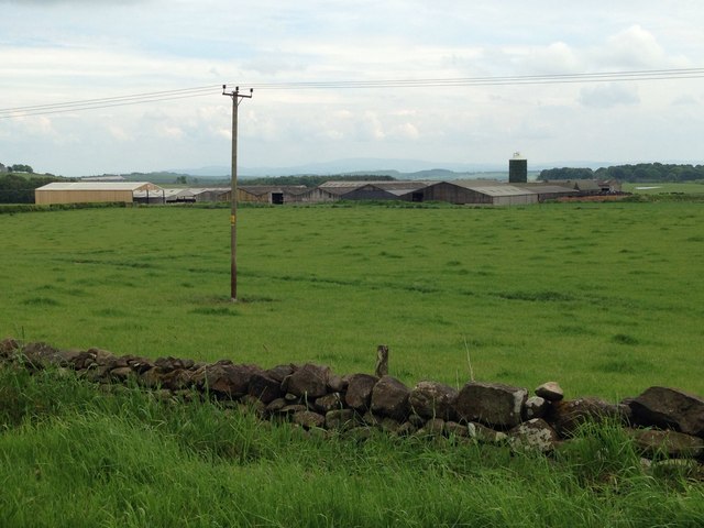
Bassendean is surrounded by lush green fields and farmland, making it an ideal location for agricultural activities. The fertile soil and temperate climate of the area contribute to its agricultural success, particularly in sheep farming and arable farming.
The village offers limited amenities, including a local pub and a village hall, which serves as a community center for various events and gatherings. However, for more extensive amenities such as shops, schools, and healthcare facilities, residents typically rely on nearby towns such as Coldstream or Duns.
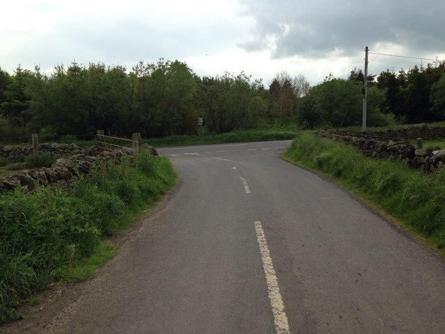
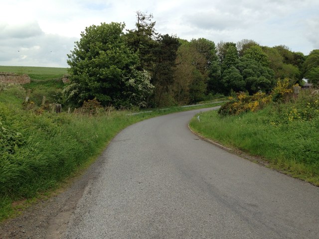
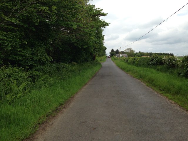
For outdoor enthusiasts, Bassendean provides ample opportunities for exploring the beautiful Scottish countryside. The region offers a network of walking trails, including the popular River Tweed walk, which allows visitors to enjoy the breathtaking scenery and observe local wildlife.
Overall, Bassendean is a tranquil and picturesque village that offers a peaceful retreat for those seeking a rural lifestyle amidst the natural beauty of the Scottish Borders.
If you have any feedback on the listing, please let us know in the comments section below.
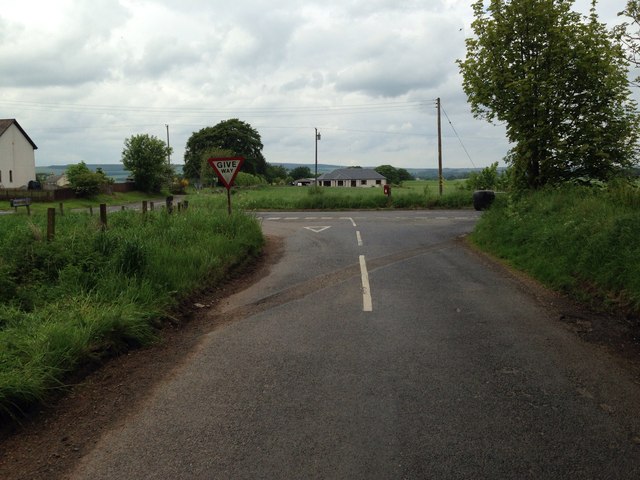
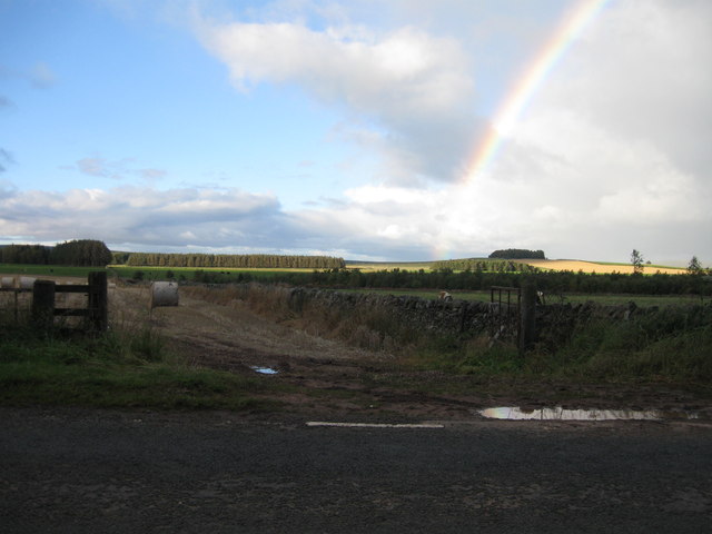
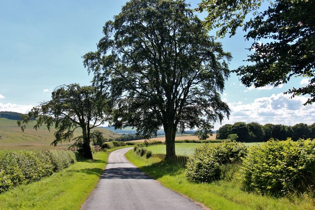
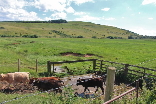
Bassendean Images
Images are sourced within 2km of 55.705702/-2.5877619 or Grid Reference NT6345. Thanks to Geograph Open Source API. All images are credited.

Bassendean is located at Grid Ref: NT6345 (Lat: 55.705702, Lng: -2.5877619)
Unitary Authority: The Scottish Borders
Police Authority: The Lothians and Scottish Borders
What 3 Words
///swerving.seats.tenders. Near Earlston, Scottish Borders
Nearby Locations
Related Wikis

Bassendean, Scottish Borders
Bassendean is a village in the Scottish Borders area of Scotland, 4 kilometres (2.5 mi) south of Westruther and 3 kilometres (1.9 mi) north-west of Gordon...

Houndslow
Houndslow is a hamlet in the Scottish Borders area of Scotland. It is situated on the A697, about 5 miles (8.0 km) west of Greenlaw, and 3 miles (4.8 km...

Gordon (NBR) railway station
Gordon railway station served the village of Gordon, Scottish Borders, Scotland from 1863 to 1948 on the Berwickshire Railway. == History == The station...

Corsbie Castle
Corsbie Castle is a ruined 16th-century tower house, about 2.5 miles (4.0 km) west of Gordon, Scottish Borders, Scotland, and north of the Eden Water....

Greenknowe Tower
Greenknowe Tower is a 16th-century tower house, located just west of the village of Gordon, in the Scottish Borders. Although a roofless ruin, the stonework...

Gordon, Scottish Borders
Gordon is a village in the Scottish Borders area of Scotland, within the historic county of Berwickshire. The village sits on the crossroads of the A6105...

Gordon Moss
Gordon Moss is a nature reserve near Gordon, in the Scottish Borders area of Scotland, in the former Berwickshire. The moss is situated one mile west of...

Westruther
Westruther is a village on the B6465, in the Scottish Borders area of Scotland, on the lower slopes of the Lammermuir Hills, in the former Berwickshire...
Nearby Amenities
Located within 500m of 55.705702,-2.5877619Have you been to Bassendean?
Leave your review of Bassendean below (or comments, questions and feedback).