Barrowby
Settlement in Yorkshire Harrogate
England
Barrowby
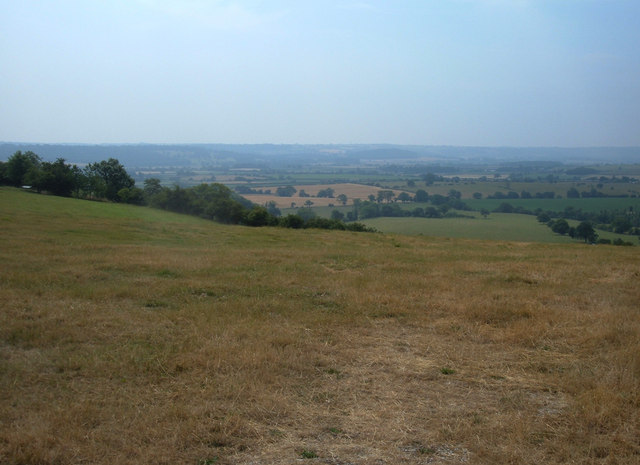
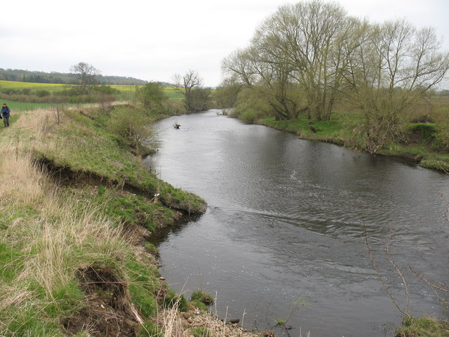
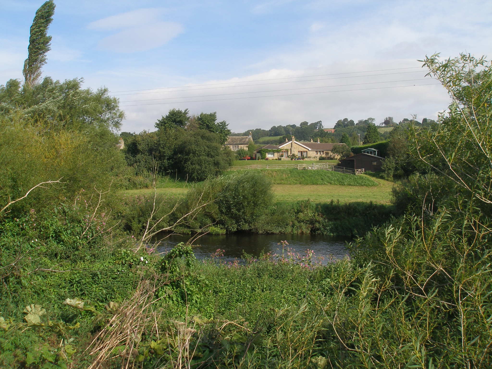
Barrowby is a charming village located in the county of Yorkshire, England. Situated on the eastern edge of the county, Barrowby is surrounded by picturesque countryside, offering residents and visitors breathtaking views of rolling hills and lush green fields. The village is nestled along the banks of the River Aire, adding to its tranquil and idyllic setting.
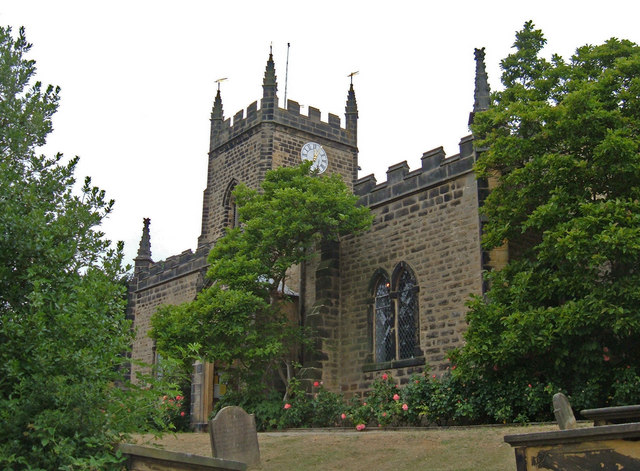
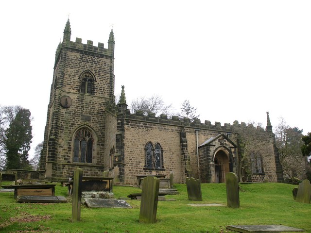
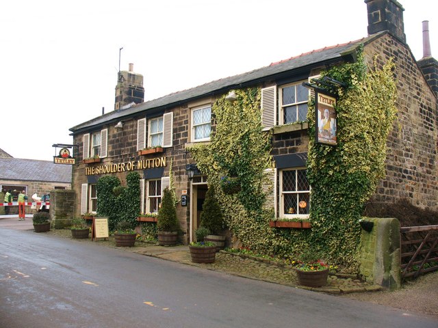
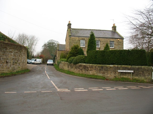
With a population of around 500 residents, Barrowby retains a close-knit community feel. The village is known for its quaint and well-preserved architecture, featuring traditional stone cottages and historic buildings. The local church, St. Mary's, is a notable landmark, showcasing stunning medieval architecture and serving as a focal point for religious and community activities.
Barrowby offers a range of amenities to cater to its residents' needs. The village boasts a primary school, providing excellent education for local children. Additionally, there is a village hall that serves as a hub for social gatherings and events throughout the year. The nearby market town of Skipton provides further amenities, including shops, restaurants, and healthcare facilities, ensuring residents have access to essential services.
For outdoor enthusiasts, Barrowby is a paradise. The surrounding countryside offers ample opportunities for hiking, cycling, and exploring nature. The village is also within close proximity to the Yorkshire Dales National Park, renowned for its stunning landscapes and diverse wildlife.
Overall, Barrowby in Yorkshire is a delightful village that perfectly captures the essence of rural England. Its beauty, community spirit, and access to nature make it an appealing place to live or visit for those seeking a peaceful and idyllic setting.
If you have any feedback on the listing, please let us know in the comments section below.
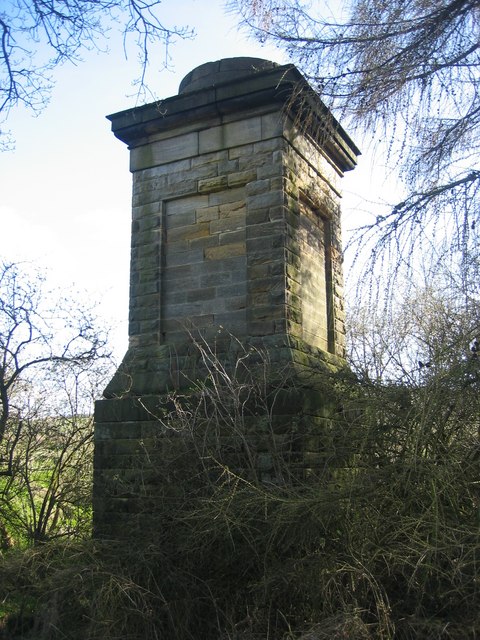
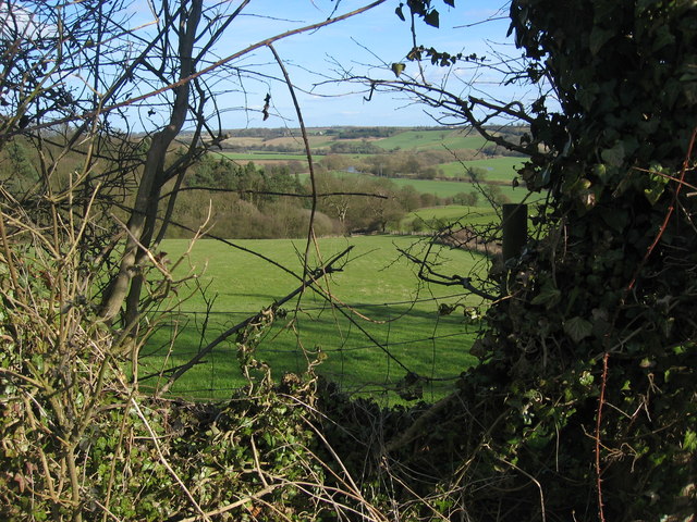
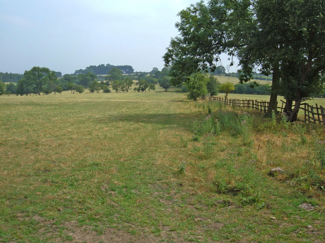
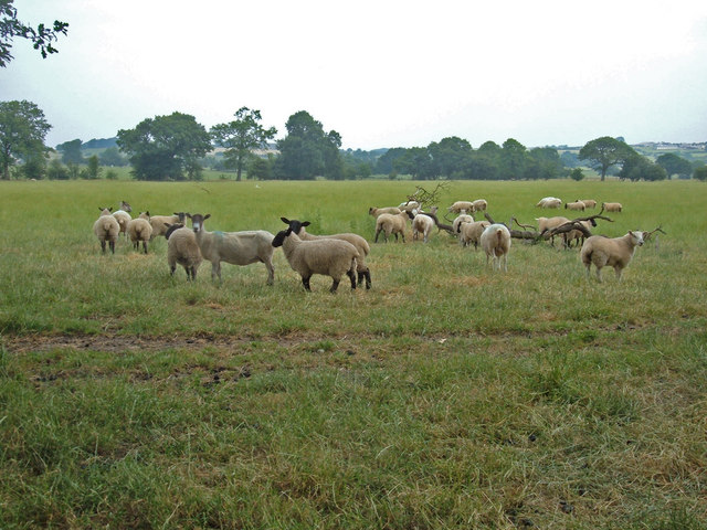
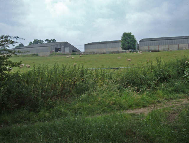
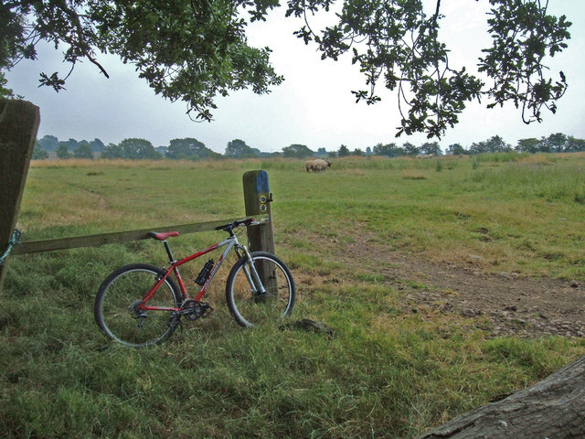
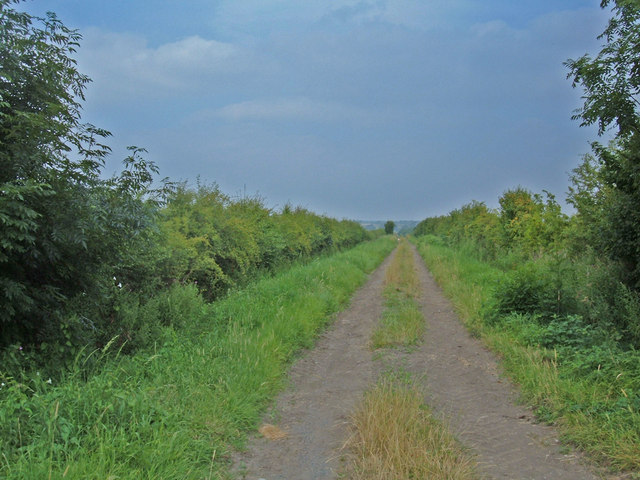
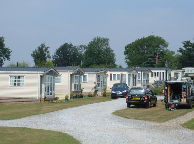
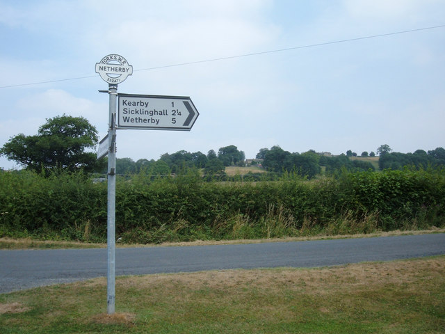
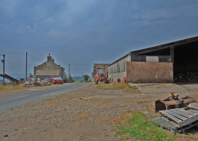
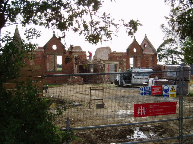
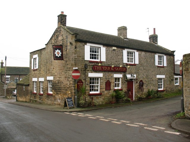
Barrowby Images
Images are sourced within 2km of 53.926084/-1.491461 or Grid Reference SE3347. Thanks to Geograph Open Source API. All images are credited.
Barrowby is located at Grid Ref: SE3347 (Lat: 53.926084, Lng: -1.491461)
Division: West Riding
Administrative County: North Yorkshire
District: Harrogate
Police Authority: North Yorkshire
What 3 Words
///buying.chariots.burn. Near East Keswick, West Yorkshire
Nearby Locations
Related Wikis
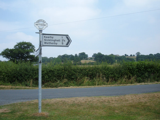
Kearby with Netherby
Kearby with Netherby is a civil parish in North Yorkshire, England. The parish includes the hamlets of Barrowby, Netherby and Kearby Town End. The parish...
Netherby, North Yorkshire
Netherby is a village in the Harrogate district of North Yorkshire, England.

Kirkby Overblow
Kirkby Overblow is a village and civil parish in North Yorkshire, England. It is situated between Wetherby and Harrogate and lies to the west of Sicklinghall...

Knight Air Flight 816
Knight Air Flight 816, being flown by G-OEAA, an Embraer 110 Bandeirante belonging to Knight Air, was an internal (domestic) scheduled flight operating...

Harewood speed Hillclimb
Harewood speed Hillclimb (the form with italics and a lower-case s is used officially) is a hillclimb near the village of Harewood, West Yorkshire, England...
Harewood Castle
Harewood Castle is a 14th-century stone hall house and courtyard fortress, located on the Harewood Estate, Harewood, in West Yorkshire, England (Grid Reference...

Dunkeswick
Dunkeswick is a hamlet in the civil parish of Kirkby Overblow, in North Yorkshire, England, just north of the River Wharfe, off the A61, around a kilometre...

Sicklinghall
Sicklinghall is a village and civil parish in North Yorkshire, England that is situated between the town of Wetherby (3 miles (5 km) to the east) and the...
Nearby Amenities
Located within 500m of 53.926084,-1.491461Have you been to Barrowby?
Leave your review of Barrowby below (or comments, questions and feedback).