Ballumbie

Settlement in Angus

Scotland

Ballumbie

Elizabethan postbox on Drumgeith Road, Dundee Postbox No. DD4 285.
Elizabethan postbox on Drumgeith Road, Dundee Credit: JThomas

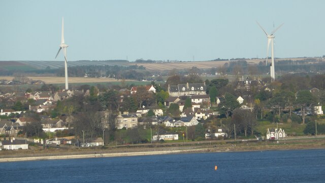
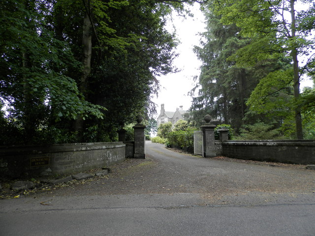
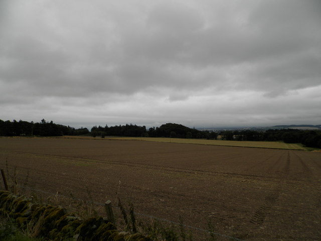
Ballumbie is a small village located in Angus, Scotland. Situated approximately five miles northeast of Dundee, it is nestled within the picturesque countryside of the region. The village offers a peaceful and idyllic setting, characterized by rolling hills, green fields, and stunning views of the surrounding landscape.

Despite its tranquil atmosphere, Ballumbie enjoys close proximity to the amenities and conveniences of nearby towns and cities. Residents have easy access to Dundee, which is a vibrant city known for its rich history, cultural attractions, and educational institutions. In addition, the village benefits from being close to major transportation routes, allowing for convenient travel to other parts of Scotland.

The community in Ballumbie is tight-knit and friendly, with a strong sense of community spirit. The village has a primary school, providing local children with quality education within a close-knit environment. In terms of leisure activities, residents can enjoy the beautiful outdoors by exploring the various walking and cycling trails in the area.

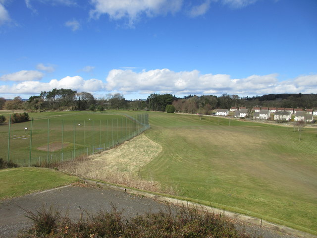
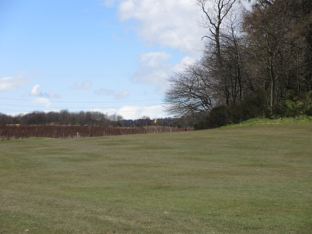
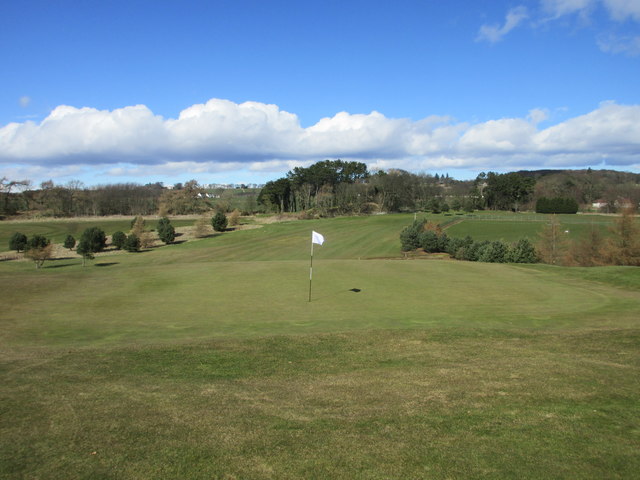
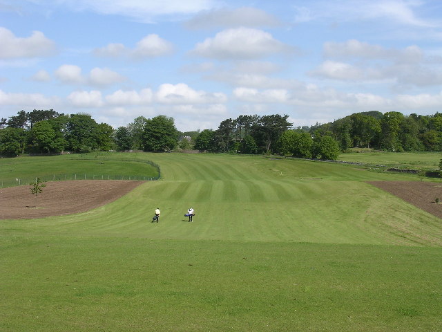
For those seeking recreational facilities, Ballumbie is home to a modern golf course, which attracts both locals and visitors alike. The course offers stunning views, challenging fairways, and a clubhouse where golfers can relax and socialize.

Overall, Ballumbie offers a peaceful and picturesque living environment, perfect for individuals seeking a serene countryside setting while still having access to nearby urban amenities. With its friendly community, convenient location, and natural beauty, Ballumbie is a delightful place to call home.

If you have any feedback on the listing, please let us know in the comments section below.
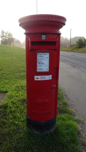
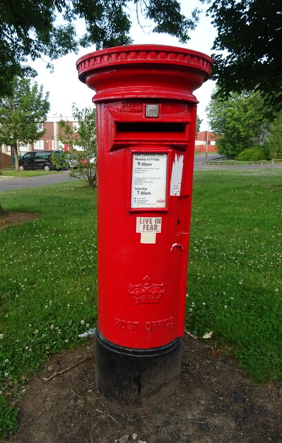
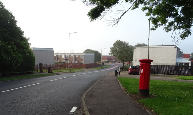
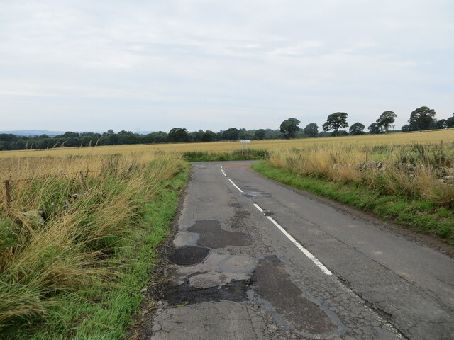
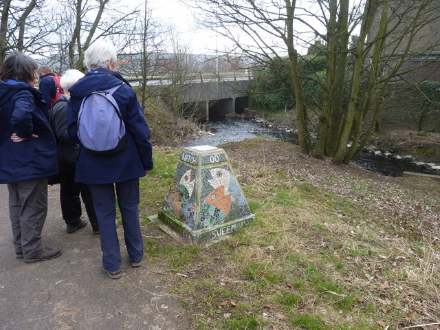
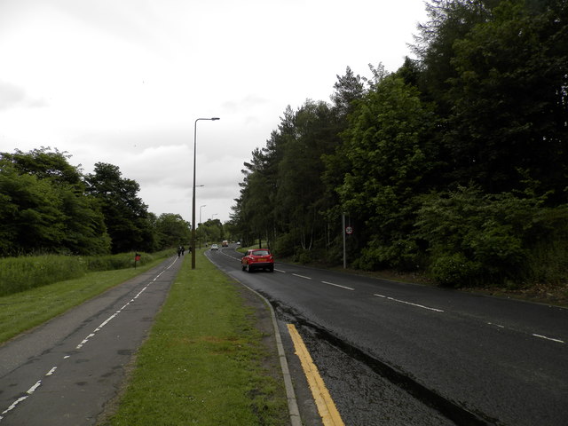
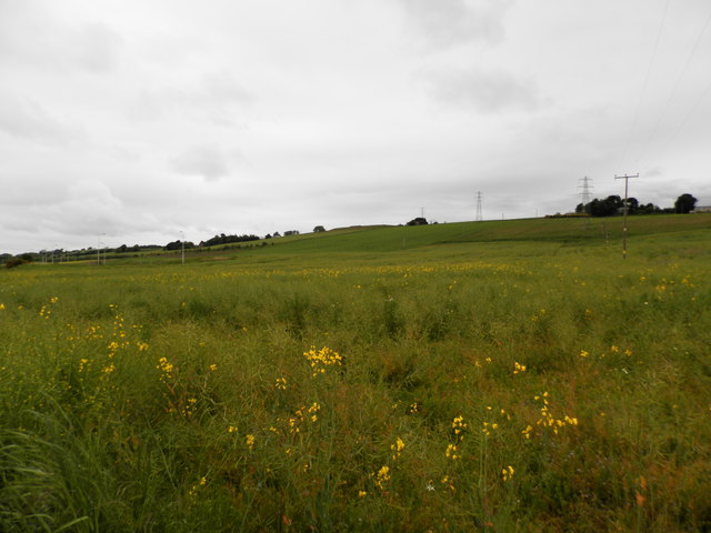
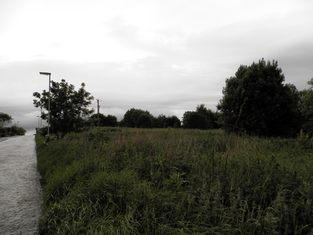
Ballumbie Images

Images are sourced within 2km of 56.49344/-2.9042094 or Grid Reference NO4433. Thanks to Geograph Open Source API. All images are credited.

Elizabethan postbox on Drumgeith Road, Dundee Postbox No. DD4 285.
Elizabethan postbox on Drumgeith Road, Dundee
Postbox No. DD4 285.
Elizabethan postbox on Whitfield Drive, Dundee Postbox No. DD4 284.

See <a href="https://www.geograph.org.uk/photo/6921736">NO4333 : Whitfield Drive, Dundee</a> for context.
Elizabethan postbox on Whitfield Drive, Dundee
Postbox No. DD4 284. See NO4333 : Whitfield Drive, Dundee for context.
Whitfield Drive, Dundee Showing position of Postbox No. DD4 284.

See <a href="https://www.geograph.org.uk/photo/6921734">NO4333 : Elizabethan postbox on Whitfield Drive, Dundee</a> for postbox.
Whitfield Drive, Dundee
Showing position of Postbox No. DD4 284. See NO4333 : Elizabethan postbox on Whitfield Drive, Dundee for postbox.
Junction of roads near to Westhall Looking south-westward.
Junction of roads near to Westhall
Looking south-westward.
Pair of wind turbines
Colourful footbridge Bridge crossing the Dighty Water.
Colourful footbridge
Bridge crossing the Dighty Water.
Dighty Water The burn flows here through industrial estates. The wind turbines in the background are used by the Dundee Michelin tyre factory.
Dighty Water
The burn flows here through industrial estates. The wind turbines in the background are used by the Dundee Michelin tyre factory.
Industrial wind turbines The Michelin tyre plant on the Baldowie Industrial Estate, Dundee, uses these two turbines to supply a large proportion of its electricity requirements.
Industrial wind turbines
The Michelin tyre plant on the Baldowie Industrial Estate, Dundee, uses these two turbines to supply a large proportion of its electricity requirements.
Fishy mosaic A group of walkers on the path alongside the Dighty Water looking at a colourful mosaic pillar depicting fish.
Fishy mosaic
A group of walkers on the path alongside the Dighty Water looking at a colourful mosaic pillar depicting fish.
Berwick Drive, Dundee
Field of rape on the outskirts of Dundee To the left of the image modern lamp posts are seen ready to light a road to nowhere. Any planned development has come to a standstill.
Field of rape on the outskirts of Dundee
To the left of the image modern lamp posts are seen ready to light a road to nowhere. Any planned development has come to a standstill.
Former farmland on edge of Dundee The creep of development has reached this edge of the city. There is no sign of any cultivation or any hint of future use.
Former farmland on edge of Dundee
The creep of development has reached this edge of the city. There is no sign of any cultivation or any hint of future use.
Entrance to Duntrune House
Field at Craighill Farm Already drilled and seeded ready for the next crop.
Field at Craighill Farm
Already drilled and seeded ready for the next crop.
Ballumbie Castle 1st hole, Lambie's Farm The opening tee shot down the hill at Ballumbie Castle golf course with the driving range to the left. The green is beyond the range just left of centre.
Ballumbie Castle 1st hole, Lambie's Farm
The opening tee shot down the hill at Ballumbie Castle golf course with the driving range to the left. The green is beyond the range just left of centre.
Ballumbie Castle 2nd hole, Easter Powrie The second hole at Ballumbie Castle golf course, looking to the green.
Ballumbie Castle 2nd hole, Easter Powrie
The second hole at Ballumbie Castle golf course, looking to the green.
Ballumbie Castle 3rd hole, Wee Spell The third hole at Ballumbie Castle golf course, looking from behind the green.
Ballumbie Castle 3rd hole, Wee Spell
The third hole at Ballumbie Castle golf course, looking from behind the green.
Ballumbie Castle 4th hole, Auld Heuch The short fourth hole at Ballumbie Castle golf course from tee to green with the sea in the distance.
Ballumbie Castle 4th hole, Auld Heuch
The short fourth hole at Ballumbie Castle golf course from tee to green with the sea in the distance.
Show me another place!

Ballumbie is located at Grid Ref: NO4433 (Lat: 56.49344, Lng: -2.9042094)

Unitary Authority: City of Dundee

Police Authority: Tayside

What 3 Words

///levels.blaze.lame. Near Dundee, Dundee City

Nearby Locations

Ballumbie

Related Wikis

Ballumbie

Ballumbie is a residential area on the north-east edge of Dundee, Scotland. The area was formerly an estate centred on Ballumbie Castle, a mid-16th-century...

Dundee St James F.C.

Dundee St James are a Scottish football club from the Mid-Craigie area in the east of Dundee. They are members of the East Region of the Scottish Junior...

Braeview Academy

Braeview Academy is a secondary school in Dundee, Scotland. Situated on top of a steep hill (brae), it was originally named Whitfield High School. It...

Burnside of Duntrune

Burnside of Duntrune is a hamlet in Angus, Scotland. It is situated 1 km North of Ballumbie on the outskirts of Dundee, on the Fithie Burn. == References ==

St Saviour's Roman Catholic High School

St Saviour's RC High School was a state secondary school in Dundee, Scotland. It was a denominational school within the Catholic religious tradition, although...

Whitfield, Dundee

Whitfield is a residential, social-housing scheme located to the north of Dundee, Scotland. Building of scheme commenced in the 1960s to accommodate Dundee...

Douglas, Dundee

Douglas and Angus (commonly referred to as Douglas) is an area of Eastern Dundee, Scotland. It is located between Whitfield to the North and Broughty Ferry...

Broughty Athletic F.C.

Broughty Athletic Junior Football Club is a Scottish football club based in Broughty Ferry, a suburb of the city of Dundee. Members of the Scottish Junior...

Related Videos

fintry places 1

people asked me to video a lot of places around the area where I live, this is a start of the footage, test run with my son walking ...

Cherry blossom, Dawson Park, Dundee, Scotland_Travel video

A cherry blossoms are flower of many trees giving the delightful spring colour. They are also known as Japanese cherry and ...

Dundee Claypotts Castle shot on DJI Mini 3 Pro

I decided to make an actual short video instead of silent stock footage. I took my sons Primary school class here 2 years ago:) ...

Nearby Amenities

Located within 500m of 56.49344,-2.9042094
Turning Circle
Noexit: yes
Lat/Long: 56.492841/-2.8966674
Turning Circle
Noexit: yes
Lat/Long: 56.4921901/-2.8971412
Turning Circle
Noexit: yes
Lat/Long: 56.4925076/-2.898712
Turning Circle
Lat/Long: 56.489681/-2.9059645
Noexit: yes
Lat/Long: 56.4927229/-2.8991857
Ballumbie
Place: suburb
Wikidata: Q4851963
Wikipedia: en:Ballumbie
Lat/Long: 56.4919356/-2.9033868
DD4 0FW
Lat/Long: 56.4952466/-2.9050724
Power: pole
Lat/Long: 56.4944487/-2.9092383
Power: pole
Lat/Long: 56.4950911/-2.9095951
Power: pole
Lat/Long: 56.4956662/-2.9096771
Power: pole
Lat/Long: 56.4964811/-2.9097326
Bus Stop
Berwick Drive
Naptan AtcoCode: 640012238
Naptan CommonName: Berwick Drive
Naptan Indicator: near
Naptan NaptanCode: 36325953
Naptan Verified: no
Public Transport: platform
Lat/Long: 56.4911199/-2.9037943
Bus Stop
Berwick Drive
Naptan AtcoCode: 6400S225
Naptan CommonName: Berwick Drive
Naptan Indicator: opp
Naptan NaptanCode: 36323535
Naptan Verified: no
Public Transport: platform
Lat/Long: 56.4903802/-2.9034001
Bus Stop
Berwick Drive
Naptan AtcoCode: 6400PT1746
Naptan CommonName: Berwick Drive
Naptan Indicator: at
Naptan NaptanCode: 36323534
Naptan Verified: no
Public Transport: platform
Lat/Long: 56.4904942/-2.9032539
Bus Stop
Aberlady Crescent
Naptan AtcoCode: 6400PT1089
Naptan CommonName: Aberlady Crescent
Naptan Indicator: opp
Naptan NaptanCode: 36323585
Naptan Verified: no
Public Transport: platform
Lat/Long: 56.4915922/-2.909722
Bus Stop
Aberlady Crescent
Naptan AtcoCode: 6400S226
Naptan CommonName: Aberlady Crescent
Naptan Indicator: at
Naptan NaptanCode: 36323586
Naptan Verified: no
Public Transport: platform
Lat/Long: 56.4915522/-2.9107896
Bus Stop
Myrtlehall Gardens
Naptan AtcoCode: 640012236
Naptan CommonName: Myrtlehall Gardens
Naptan Indicator: at
Naptan NaptanCode: 36325949
Naptan Verified: no
Public Transport: platform
Lat/Long: 56.491747/-2.8989583
Generator Method: photovoltaic
Generator Output Electricity: yes
Generator Source: solar
Generator Type: solar_photovoltaic_panel
Power: generator
Lat/Long: 56.4911543/-2.8991784
The data included in this document is from www.openstreetmap.org. The data is made available under ODbL.

Have you been to Ballumbie?

Leave your review of Ballumbie below (or comments, questions and feedback).