Ballindean

Settlement in Perthshire

Scotland

Ballindean

Pile of snow at Scottish Antique and Art Centre, Abernyte
Pile of snow at Scottish Antique and Art Centre, Abernyte Credit: Sandy Gerrard

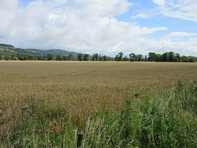
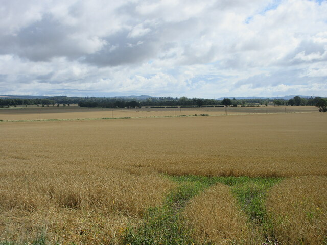
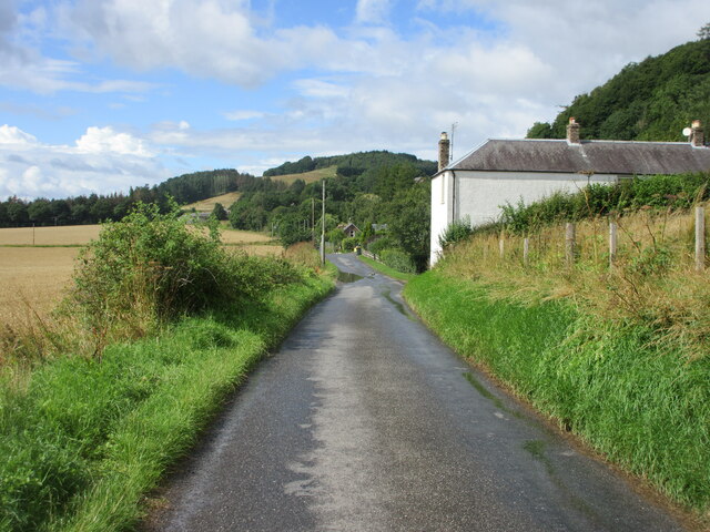
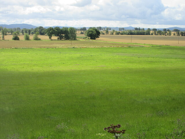
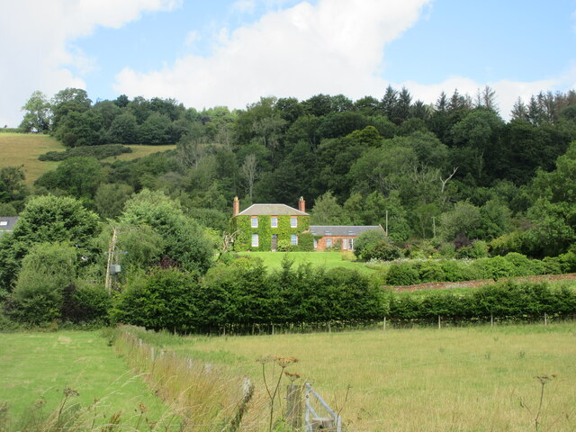
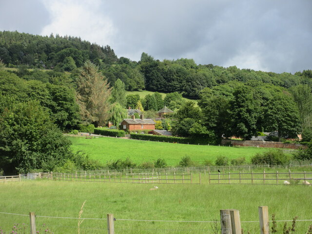
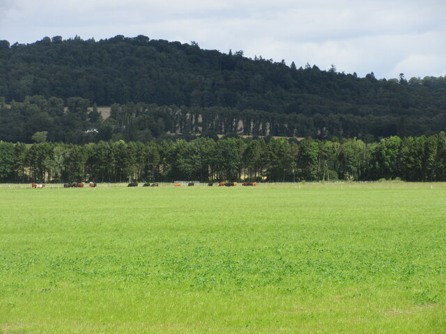
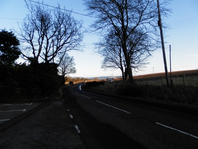
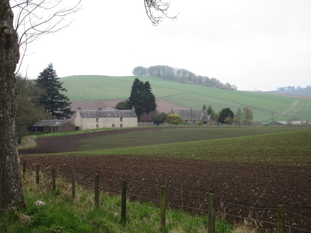
Ballindean is a small village located in the county of Perthshire, Scotland. Situated approximately 6 miles northwest of the city of Perth, it is nestled in a picturesque rural setting. The village is surrounded by rolling hills, green fields, and woodland, offering residents and visitors a tranquil and scenic environment.

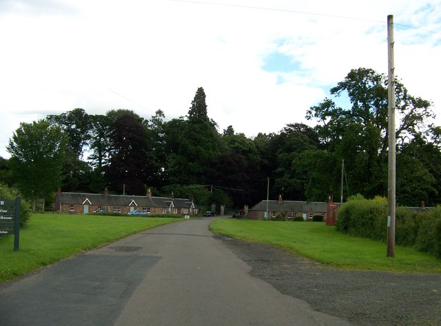
Ballindean is primarily a residential area, with a modest population of around 200 people. The village consists mainly of traditional stone-built houses, giving it a charming and timeless character. There are also a few modern developments that have been integrated into the village over the years.

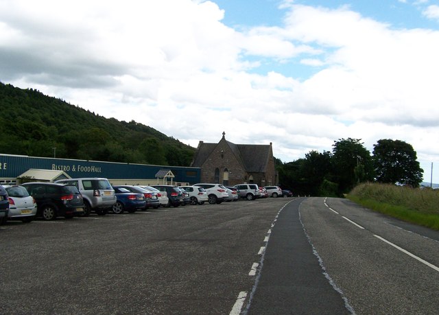
Despite its small size, Ballindean benefits from its proximity to Perth, which provides access to a wide range of amenities and services. The city offers excellent shopping facilities, educational institutions, healthcare services, and recreational activities. Additionally, Perth is well connected to other major cities in Scotland through its railway station and road network.

The village itself does not have many amenities, but it does have a local pub that serves as a gathering spot for residents. The surrounding countryside offers opportunities for outdoor activities such as hiking, cycling, and fishing. The nearby River Tay is a popular spot for anglers.

Overall, Ballindean is a peaceful and idyllic village, perfect for those seeking a rural lifestyle while still having access to urban conveniences. Its beautiful natural surroundings and close proximity to Perth make it an attractive place to live or visit.

If you have any feedback on the listing, please let us know in the comments section below.
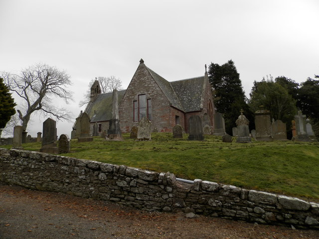
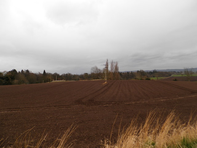
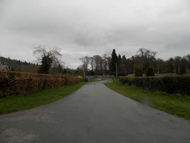
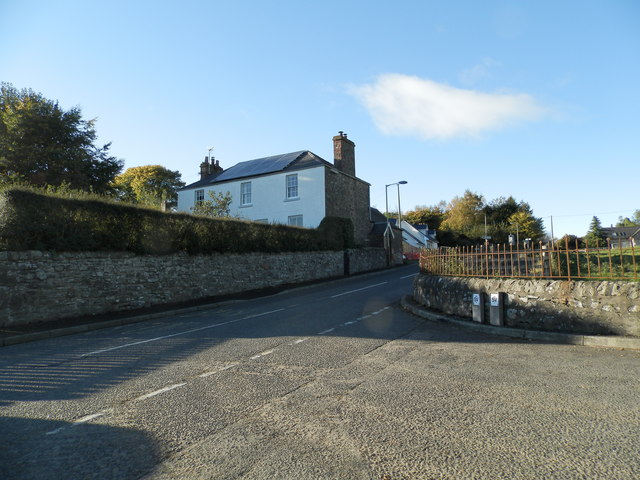
Ballindean Images

Images are sourced within 2km of 56.450264/-3.2042937 or Grid Reference NO2529. Thanks to Geograph Open Source API. All images are credited.

Pile of snow at Scottish Antique and Art Centre, Abernyte
Direction Sign – Signpost at Westmill, near Kinnaird Located on the southeast side of the crossroads at Westmill, south of Kinnaird. Perth and Kinross. 1 arm and ball finial. Canmore have this recorded as 19C <span class="nowrap"><a title="https://canmore.org.uk/site/369362/westmill#mycanmore-text-fragment" rel="nofollow ugc noopener" href="https://canmore.org.uk/site/369362/westmill#mycanmore-text-fragment">Link</a><img style="margin-left:2px;" alt="External link" title="External link - shift click to open in new window" src="https://s1.geograph.org.uk/img/external.png" width="10" height="10"/></span>.

Milestone Society National ID: PR_NO2428
Direction Sign – Signpost at Westmill, near Kinnaird
Located on the southeast side of the crossroads at Westmill, south of Kinnaird. Perth and Kinross. 1 arm and ball finial. Canmore have this recorded as 19C LinkExternal link. Milestone Society National ID: PR_NO2428
Field of wheat south of Kinnaird Looking eastwards over a field of wheat in the Carse of Gowrie south of Kinnaird.
Field of wheat south of Kinnaird
Looking eastwards over a field of wheat in the Carse of Gowrie south of Kinnaird.
Field of wheat near Kinnaird Looking east over a vast field of wheat towards Dundee, from the crossroads at Kinnaird.
Field of wheat near Kinnaird
Looking east over a vast field of wheat towards Dundee, from the crossroads at Kinnaird.
High Carse Road at Craigdallie The C401 (Perth and Kinross) High Carse Road heading west at Craigdallie.
High Carse Road at Craigdallie
The C401 (Perth and Kinross) High Carse Road heading west at Craigdallie.
Grass field near Ballindean Looking from the High Carse Road down on a grass field to the west of Ballindean.
Grass field near Ballindean
Looking from the High Carse Road down on a grass field to the west of Ballindean.
Ivy-clad house at Easter Ballindean Looking north from the High Carse Road to an ivy-clad frontage at Easter Ballindean.
Ivy-clad house at Easter Ballindean
Looking north from the High Carse Road to an ivy-clad frontage at Easter Ballindean.
Ballindean Estate Looking northwards from the High Carse Road to buildings and dwellings on the Ballindean Estate at the foot of the Braes of the Carse.
Ballindean Estate
Looking northwards from the High Carse Road to buildings and dwellings on the Ballindean Estate at the foot of the Braes of the Carse.
Green flat field near Ballindean Flat pasture with cattle in the distance, between Ballindean and Inchture.
Green flat field near Ballindean
Flat pasture with cattle in the distance, between Ballindean and Inchture.
Scottish Antique and Art Centre at Abernyte
Baledgarno village
Baledgarno village
The B953 near Abernyte
Abernyte Parish Church The church was built in 1736 to replace a pre 1400 building. It is believed that there may have been a Celtic church here much earlier.
The church at Abernyte is linked to Longforgan Parish Church, Inchture Church and Kinnaird Church.
Abernyte Parish Church
The church was built in 1736 to replace a pre 1400 building. It is believed that there may have been a Celtic church here much earlier. The church at Abernyte is linked to Longforgan Parish Church, Inchture Church and Kinnaird Church.
Ploughed field near Baledgarno
Private road to Baledgarno
Road junction at Abernyte
Abernyte Parish Church Abernyte Parish Church viewed from Kirkton to the north-east.
Abernyte Parish Church
Abernyte Parish Church viewed from Kirkton to the north-east.
Carse of Gowrie towards Dundee Taken from the site if Pitmiddle village - abandoned in the 1930s.
Carse of Gowrie towards Dundee
Taken from the site if Pitmiddle village - abandoned in the 1930s.
Show me another place!

Ballindean is located at Grid Ref: NO2529 (Lat: 56.450264, Lng: -3.2042937)

Unitary Authority: Perth and Kinross

Police Authority: Tayside

What 3 Words

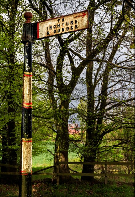
///cost.chase.conceals. Near Inchture, Perth & Kinross

Nearby Locations

Craigdallie Ballindean

Related Wikis

Kinnaird, Gowrie

Kinnaird (Scottish Gaelic: An Ceann Àrd, "high headland") is a village in Gowrie, Perthshire, Scotland. It is notable for its 15th-century castle. The...

Abernyte

Abernyte is a small village in Perth and Kinross in Scotland. == Geography == The village lies roughly 2 miles (3 kilometres) northwest of the former Inchture...

Gowrie

Gowrie (Scottish Gaelic: Gobharaidh) is a region in central Scotland and one of the original provinces of the Kingdom of Alba. It covered the eastern part...

Inchture Village railway station

Inchture Village railway station was a railway station in the village of Inchture, Perthshire, Scotland. The Inchture Railway Bus service operated a service...

Inchture

Inchture (Scottish Gaelic: Innis Tùir) is a village in Scotland between Dundee and Perth on the northern side of the Firth of Tay. It is approximately...

Knapp, Perthshire

Knapp is a hamlet in Perth and Kinross, Scotland. It is located to the northeast of Inchture, about 9.7 miles (15.6 km) by road west of the city centre...
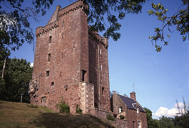
Fingask Castle

Fingask Castle is a country house in Perth and Kinross, Scotland. It is perched 200 feet (61 m) above Rait, three miles (5 km) north-east of Errol, in...

Inchture railway station

Inchture railway station served the village of Inchture, Perth and Kinross, Scotland from 1847 to 1956 on the Dundee and Perth Railway. == History == The...

Related Videos

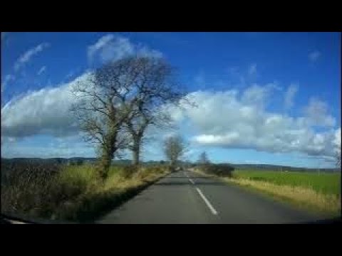
Spring Road Trip Drive With Music On History Visit To Inchture Perthshire Scotland

Tour Scotland 4K early Spring travel video of a road trip drive, with Scottish music, on rural routes on ancestry, genealogy, family ...

Kinnaird Estate Shoot

Shoot day at Kinnaird Estate.

Late Spring Road Trip Drive From Dundee To Visit Parish Church In Abernyte Perthshire Scotland

Tour Scotland 4K late Spring early Summer travel video, with Scottish music, of a road trip drive West on the A90 road then North ...

Nearby Amenities

Located within 500m of 56.450264,-3.2042937
Balindean
Place: hamlet
Lat/Long: 56.4501954/-3.204511
Power: pole
Lat/Long: 56.4507326/-3.1962056
Power: pole
Lat/Long: 56.4502338/-3.1967691
Power: pole
Lat/Long: 56.4500137/-3.197786
Power: pole
Lat/Long: 56.4497889/-3.1988813
Power: pole
Lat/Long: 56.4495711/-3.1999237
Power: pole
Lat/Long: 56.4495875/-3.2009236
Power: pole
Lat/Long: 56.4496039/-3.2018622
Power: pole
Lat/Long: 56.4496308/-3.2033621
Power: pole
Lat/Long: 56.4492409/-3.2042773
Power: pole
Lat/Long: 56.4487421/-3.2049786
Power: pole
Lat/Long: 56.4481894/-3.2057137
Power: pole
Lat/Long: 56.4476379/-3.2064743
Power: pole
Lat/Long: 56.4470935/-3.2072031
Power: pole
Lat/Long: 56.4465595/-3.2079446
Power: pole
Lat/Long: 56.4542133/-3.2018802
Power: pole
Lat/Long: 56.4541758/-3.2013399
Post Box
Collection Times: Mo-Fr 09:30; Sa 09:00
Manufacturer: Lion Foundry Co Ltd Kirkintilloch
Operator: Royal Mail
Post Box Mounting: pier
Post Box Type: lamp
Ref: PH14 184
Royal Cypher: scottish_crown
Source: survey;local knowledge
Lat/Long: 56.4502989/-3.2043215
The data included in this document is from www.openstreetmap.org. The data is made available under ODbL.

Have you been to Ballindean?

Leave your review of Ballindean below (or comments, questions and feedback).