Balk
Settlement in Yorkshire Hambleton
England
Balk
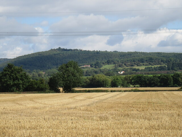
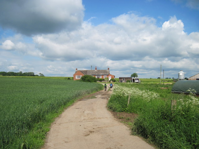
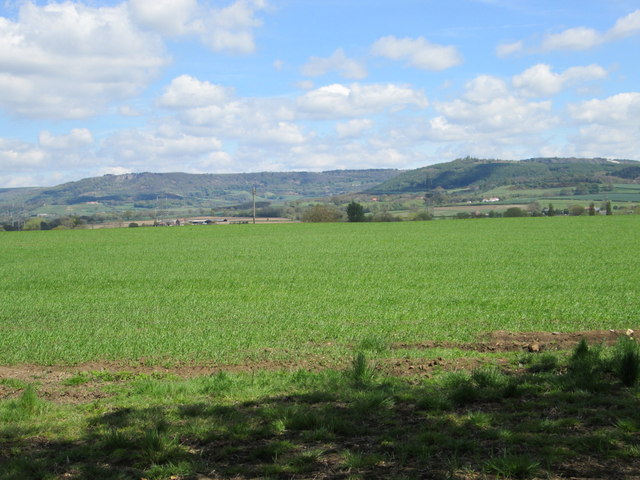
Balk is a small village located in the county of Yorkshire, England. Situated approximately 5 miles south of Thirsk, Balk is nestled amidst the beautiful countryside of the Hambleton District. The village is surrounded by lush green fields and rolling hills, offering picturesque views to its residents and visitors.
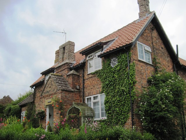
Balk is a charming and peaceful village, known for its close-knit community and friendly atmosphere. The village primarily consists of residential properties, with a mix of traditional cottages and modern houses. The architecture reflects the region's rich history and heritage, with some buildings dating back several centuries.
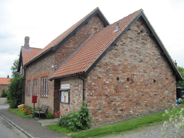
Despite its small size, Balk offers a range of amenities and services to cater to the needs of its residents. These include a local pub, a village hall, and a small convenience store, providing essential goods to the community. The village is also well-connected, with regular bus services running to nearby towns and villages.
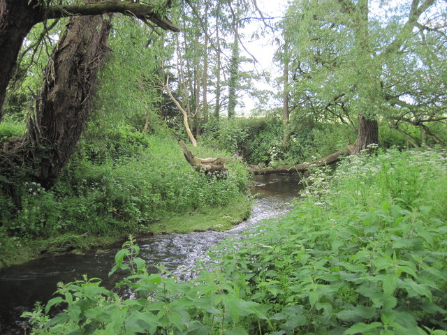
The natural beauty surrounding Balk makes it an ideal destination for outdoor enthusiasts. The village is surrounded by numerous walking and cycling trails, offering opportunities to explore the stunning countryside. Additionally, the nearby North York Moors National Park is within easy reach, providing further options for outdoor activities such as hiking, wildlife spotting, and scenic drives.
Overall, Balk is a picturesque village in Yorkshire, offering a tranquil and idyllic setting for its residents. Its close proximity to nature and its welcoming community make it a desirable place to live or visit for those seeking a peaceful retreat in the heart of the English countryside.
If you have any feedback on the listing, please let us know in the comments section below.
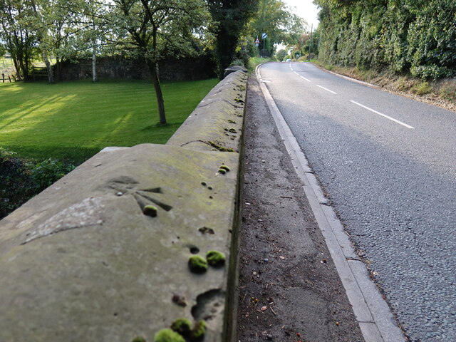
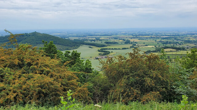
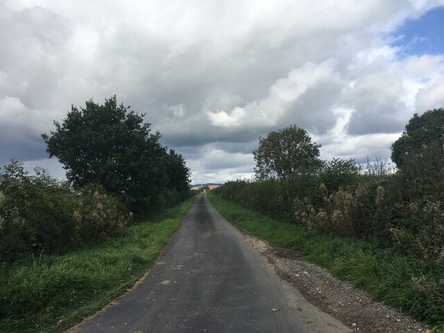
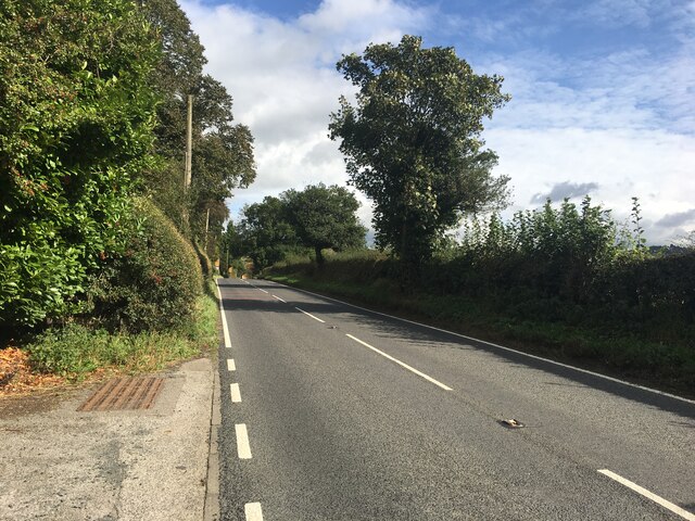
Balk Images
Images are sourced within 2km of 54.221123/-1.2726374 or Grid Reference SE4780. Thanks to Geograph Open Source API. All images are credited.
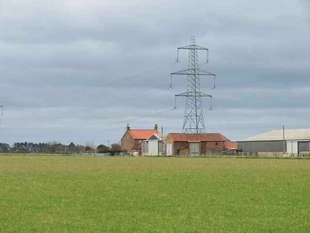
![Osgoodby Grange Farm The present farm appears to be on land once owned by Byland Abbey which had a grange [farm] here during the medieval period, whilst there is record of some of the land being transferred to Richard Askywith in 1532. To the north and east of the farm buildings there's still evidence of old ridge and furrow in the fields which could date back to medieval times.](https://s0.geograph.org.uk/geophotos/07/13/92/7139208_4eea86ae.jpg)
Balk is located at Grid Ref: SE4780 (Lat: 54.221123, Lng: -1.2726374)
Division: North Riding
Administrative County: North Yorkshire
District: Hambleton
Police Authority: North Yorkshire
What 3 Words
///forklift.voucher.trusts. Near Thirsk, North Yorkshire
Nearby Locations
Related Wikis

Balk, North Yorkshire
Balk is a hamlet and civil parish in the Hambleton district of North Yorkshire, England, just east of Thirsk. In the 2001 census the parish had a population...

Bagby
Bagby is a village and civil parish in the former Hambleton District of North Yorkshire, England, 3 miles (5 km) south-east of Thirsk. The parish had a...

Thirkleby Hall
Thirkleby Hall was a large 18th-century country house in Great Thirkleby in the Hambleton hills of North Yorkshire. It was demolished in 1927. == History... ==

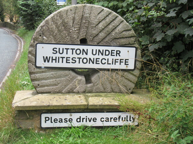
Sutton-under-Whitestonecliffe
Sutton-under-Whitestonecliffe is a village and civil parish in the Hambleton district of North Yorkshire, England. Historically part of the North Riding...
Nearby Amenities
Located within 500m of 54.221123,-1.2726374Have you been to Balk?
Leave your review of Balk below (or comments, questions and feedback).