Balblair
Settlement in Sutherland
Scotland
Balblair
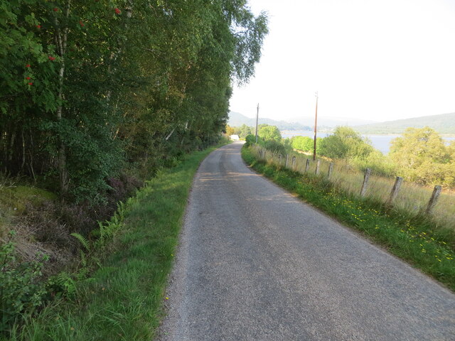
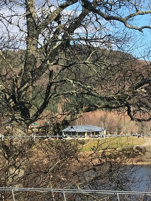
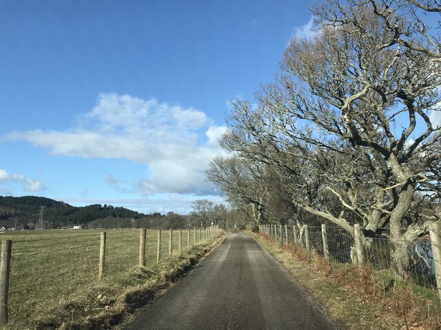
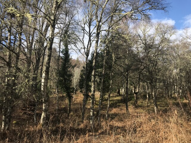
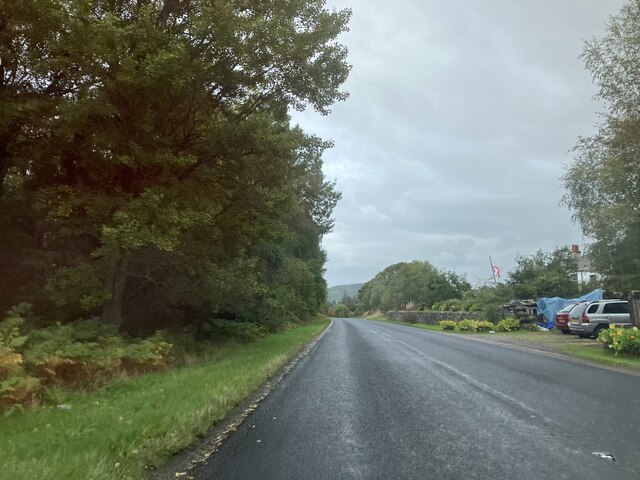
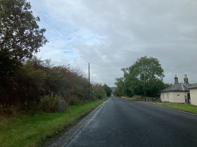
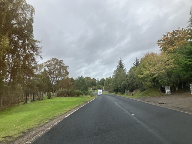
Balblair is a small village located in the county of Sutherland in the Highland region of Scotland. Situated on the east coast of the country, it lies approximately 50 miles north of Inverness and 10 miles west of the town of Tain. The village is nestled in the picturesque countryside, surrounded by rolling hills and the tranquil waters of the Dornoch Firth.
With a population of around 500, Balblair is a close-knit community that exudes a peaceful and traditional Scottish charm. The village is predominantly residential, with a few local businesses catering to the needs of the residents. The main industries in the area are agriculture and fishing, reflecting the village's rural character.
One of the notable landmarks in Balblair is the Balblair Distillery, which has been producing single malt Scotch whisky since 1790. The distillery offers tours and tastings, allowing visitors to learn about the whisky-making process and sample some of their renowned spirits.
Outdoor enthusiasts are drawn to Balblair for its stunning natural surroundings. The area provides ample opportunities for hiking, cycling, and exploring the nearby beaches. Golf enthusiasts can enjoy a round at the nearby Royal Dornoch Golf Club, one of the oldest and most prestigious golf courses in the world.
Overall, Balblair in Sutherland offers a peaceful retreat for nature lovers and those seeking a taste of traditional Scottish village life. Its scenic beauty, rich history, and proximity to outdoor activities make it an appealing destination for both locals and tourists alike.
If you have any feedback on the listing, please let us know in the comments section below.
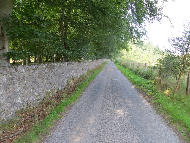
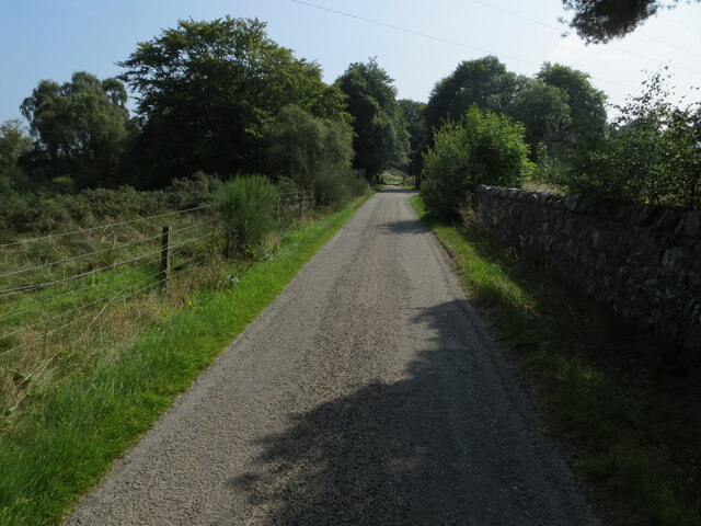
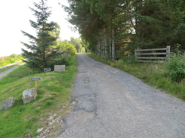
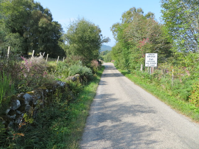
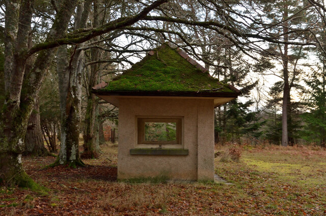
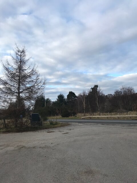
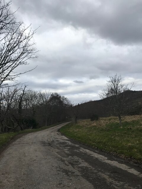
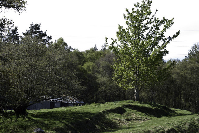
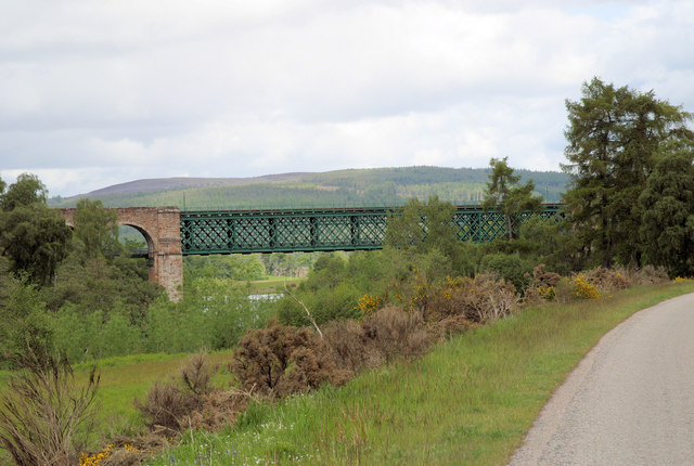
Balblair Images
Images are sourced within 2km of 57.913647/-4.3812213 or Grid Reference NH5994. Thanks to Geograph Open Source API. All images are credited.
Balblair is located at Grid Ref: NH5994 (Lat: 57.913647, Lng: -4.3812213)
Unitary Authority: Highland
Police Authority: Highlands and Islands
What 3 Words
///entry.burst.condense. Near Lairg, Highland
Nearby Locations
Related Wikis

Culrain railway station
Culrain railway station serves the village of Culrain in Kyle of Sutherland in the Highland council area of Scotland. It is located on the Far North Line...

Culrain
Culrain (Cul Raoin) is a small village in Sutherland, Highland, Scotland. == Location == Culrain lies west of Ardgay, beside the Kyle of Sutherland about...

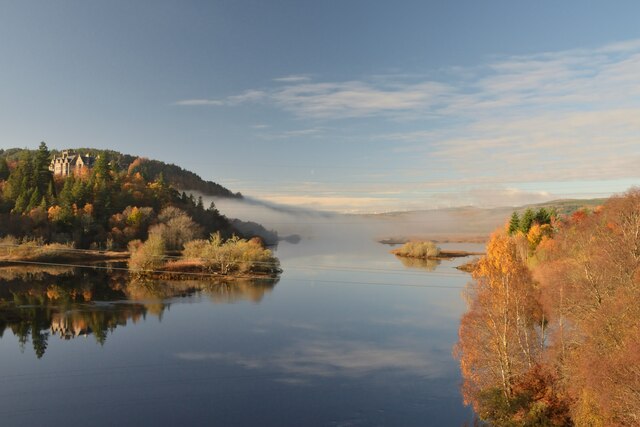
Invershin
Invershin (Scottish Gaelic: Inbhir Sin) is a scattered village in the Parish of Creich, 6 miles (10 km) south of Lairg and 4 miles (6.4 km) north of Bonar...

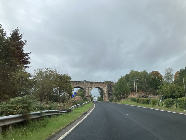
Shin Railway Viaduct
The Shin Railway Viaduct (also known as the Invershin Viaduct or Oykel Viaduct) is a railway viaduct that crosses the Kyle of Sutherland.The viaduct carries...
Nearby Amenities
Located within 500m of 57.913647,-4.3812213Have you been to Balblair?
Leave your review of Balblair below (or comments, questions and feedback).