Balachuirn

Settlement in Inverness-shire

Scotland

Balachuirn

Holoman Bay A stony beach on the west side of Raasay.
From a print. Date approximate
Holoman Bay Credit: Des Blenkinsopp

Balachuirn is a small village located in the county of Inverness-shire, Scotland. Situated in the western part of the country, it lies on the banks of the River Lochy, surrounded by picturesque landscapes and stunning natural beauty. The village is approximately 12 miles northwest of Fort William, one of the largest towns in the area.

Despite its small size, Balachuirn offers a peaceful and tranquil environment for its residents and visitors alike. The village is characterized by traditional Scottish architecture, with charming stone houses and cottages dotting the landscape. The surrounding countryside is dominated by lush green hills and mountains, providing opportunities for outdoor activities such as hiking, cycling, and fishing.

Balachuirn is also known for its proximity to several notable landmarks and attractions. Just a short distance away is the famous Ben Nevis, the highest mountain in the British Isles, attracting mountaineers and nature enthusiasts from all over the world. The nearby Glen Nevis is also a popular destination for its breathtaking scenery and hiking trails.

While the village itself does not have many amenities, the nearby town of Fort William offers a range of services including shops, restaurants, and accommodations. Balachuirn is well-connected by road, with the A82 passing through the area, providing easy access to other parts of Inverness-shire and beyond.

Overall, Balachuirn is a quaint and idyllic Scottish village, offering a peaceful escape from the hustle and bustle of city life, and serving as a gateway to the stunning natural wonders of the surrounding area.

If you have any feedback on the listing, please let us know in the comments section below.
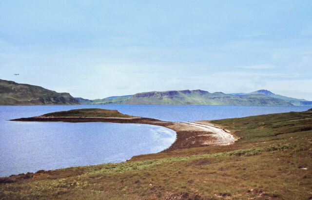
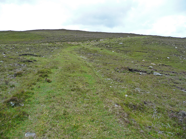
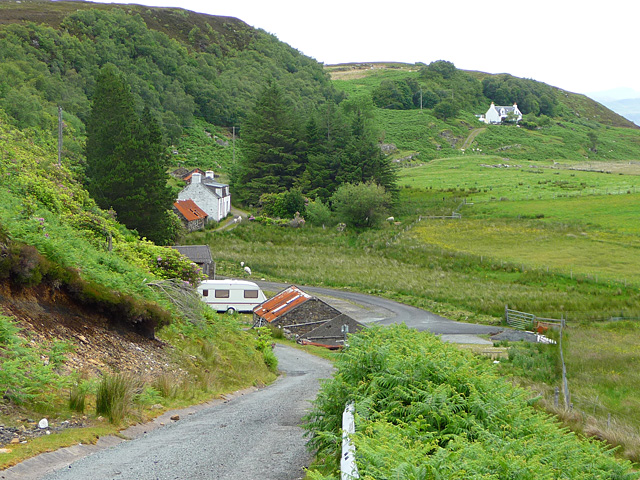
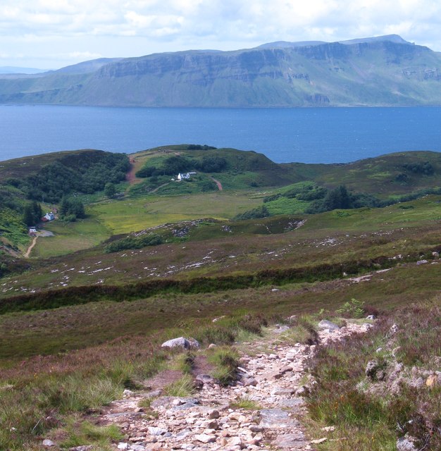
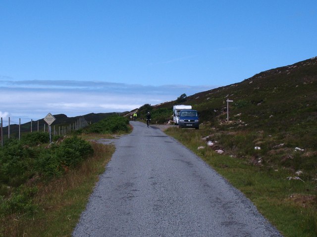
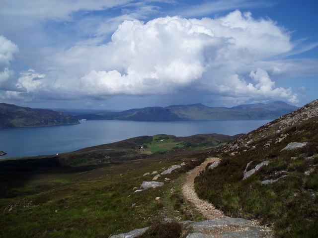
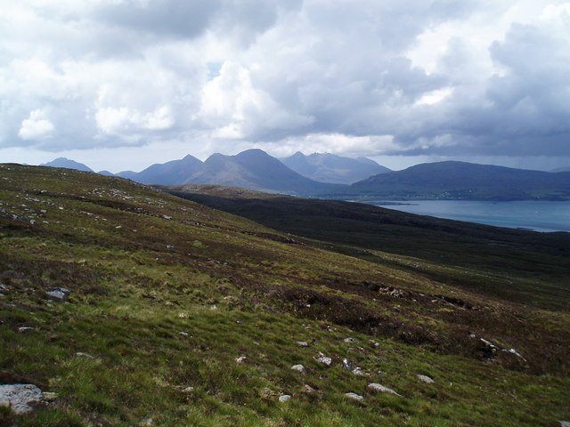
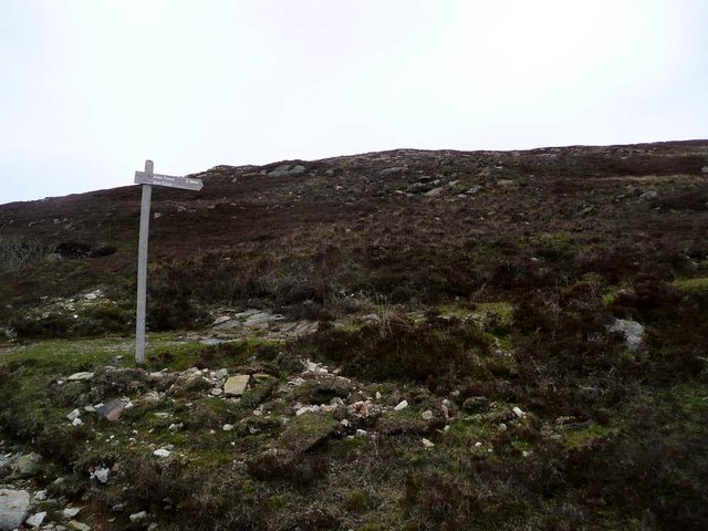
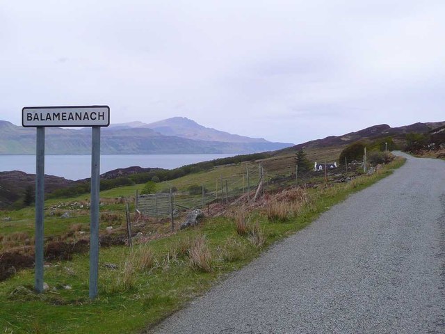
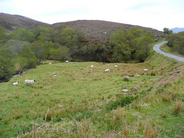
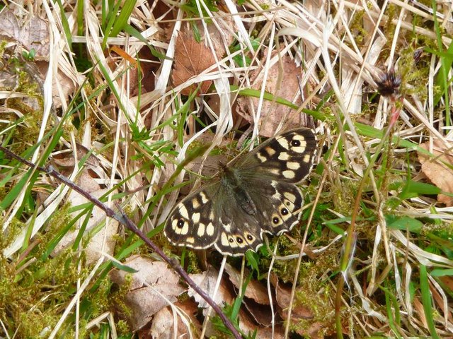
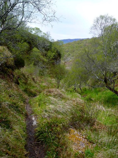
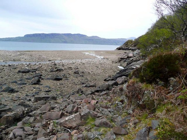
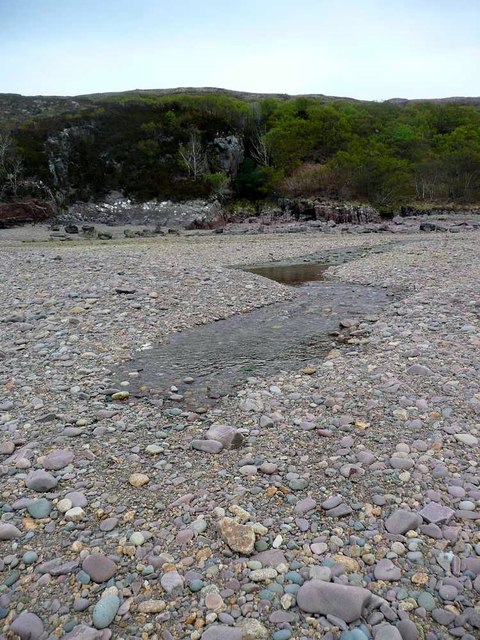
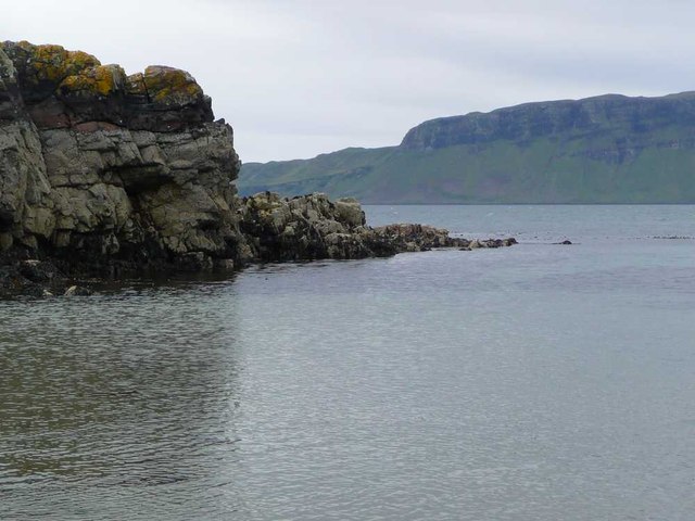
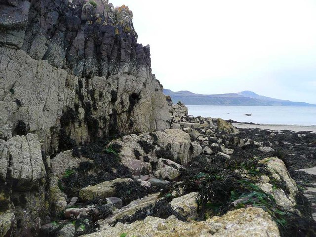
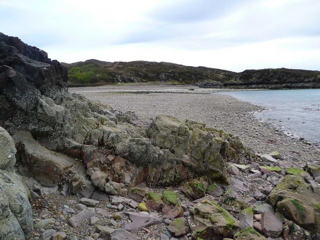
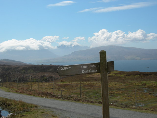
Balachuirn Images

Images are sourced within 2km of 57.391112/-6.0708448 or Grid Reference NG5540. Thanks to Geograph Open Source API. All images are credited.

Holoman Bay A stony beach on the west side of Raasay.
From a print. Date approximate
Holoman Bay
A stony beach on the west side of Raasay. From a print. Date approximate
Track to Balachuirn A well constructed cart track across the moorland above Holoman.
Track to Balachuirn
A well constructed cart track across the moorland above Holoman.
Balachuirn The town of the cairn.
Balachuirn
The town of the cairn.
On the Dun Caan path Nearing the bottom of the excellent path from Dun Caan down to the road near Balmeanach. Across the Sound of Raasay are the big cliffs just north of Portree Bay.
On the Dun Caan path
Nearing the bottom of the excellent path from Dun Caan down to the road near Balmeanach. Across the Sound of Raasay are the big cliffs just north of Portree Bay.
Traffic approaching Traffic is a rare thing on Raasay, but here come two cyclists along the main N-S road on the island. The two parked vehicles are at the point where the hill path heads off towards Dun Caan.
Traffic approaching
Traffic is a rare thing on Raasay, but here come two cyclists along the main N-S road on the island. The two parked vehicles are at the point where the hill path heads off towards Dun Caan.
The path to Dun Caan Looking towards Portree Bay (left of centre) with The Storr and Trotternish Ridge in distance.
The path to Dun Caan
Looking towards Portree Bay (left of centre) with The Storr and Trotternish Ridge in distance.
Heathland from path to Dun Caan Looking towards The Cuillin from the path to Dun Caan
Heathland from path to Dun Caan
Looking towards The Cuillin from the path to Dun Caan
The start of the Dun Caan path This route is shorter and less muddy than the one from Inverarish.
The start of the Dun Caan path
This route is shorter and less muddy than the one from Inverarish.
Sign for Balameanach Also spelt 'Balmeanach' by the OS.  The hills of the Trotternish ridge on Skye showing over the Sound of Raasay.
Sign for Balameanach
Also spelt 'Balmeanach' by the OS. The hills of the Trotternish ridge on Skye showing over the Sound of Raasay.
Starting off for the path to Inver
Butterfly by the path to Inver I am informed by James Yardley that this is a Speckled Wood (Pararge aegeria) - The three black eyes with white pupils on yellow patches on each hindwing confirm this. Absent from the Outer Hebrides but found in NW Scotland including obviously Raasay. see <span class="nowrap"><a title="http://www.ukbutterflies.co.uk/species.php?vernacular_name=Speckled%20Wood" rel="nofollow ugc noopener" href="http://www.ukbutterflies.co.uk/species.php?vernacular_name=Speckled%20Wood">Link</a><img style="margin-left:2px;" alt="External link" title="External link - shift click to open in new window" src="https://s1.geograph.org.uk/img/external.png" width="10" height="10"/></span>
Butterfly by the path to Inver
I am informed by James Yardley that this is a Speckled Wood (Pararge aegeria) - The three black eyes with white pupils on yellow patches on each hindwing confirm this. Absent from the Outer Hebrides but found in NW Scotland including obviously Raasay. see LinkExternal link
The path to Inver
The path to Inver
The beach at Inver The Trotternish ridge on Skye in the distance over the Sound of Raasay.
The beach at Inver
The Trotternish ridge on Skye in the distance over the Sound of Raasay.
The burn disappears! This is the Storab Burn and it is running with quite a lot of water.  But here on the beach at Inver it must reach a porous spot in the underlying material and simply disappears.
The burn disappears!
This is the Storab Burn and it is running with quite a lot of water. But here on the beach at Inver it must reach a porous spot in the underlying material and simply disappears.
Eilean an Inbhire Taken at a very low tide.  Ben Tianavaig on Skye opposite.
Eilean an Inbhire
Taken at a very low tide. Ben Tianavaig on Skye opposite.
Small cliff on Eilean an Inbhire Taken at very low tide.
Small cliff on Eilean an Inbhire
Taken at very low tide.
The beach at Inver
The beach at Inver
Start of Dùn Caan path Black Cuillin topped by clouds in the distance
Start of Dùn Caan path
Black Cuillin topped by clouds in the distance
Show me another place!

Balachuirn is located at Grid Ref: NG5540 (Lat: 57.391112, Lng: -6.0708448)

Unitary Authority: Highland

Police Authority: Highlands and Islands

What 3 Words

///crowned.branched.thanks. Near Portree, Highland

Related Wikis

Raasay

Raasay (; Scottish Gaelic: Ratharsair) or the Isle of Raasay is an island between the Isle of Skye and the mainland of Scotland. It is separated from Skye...
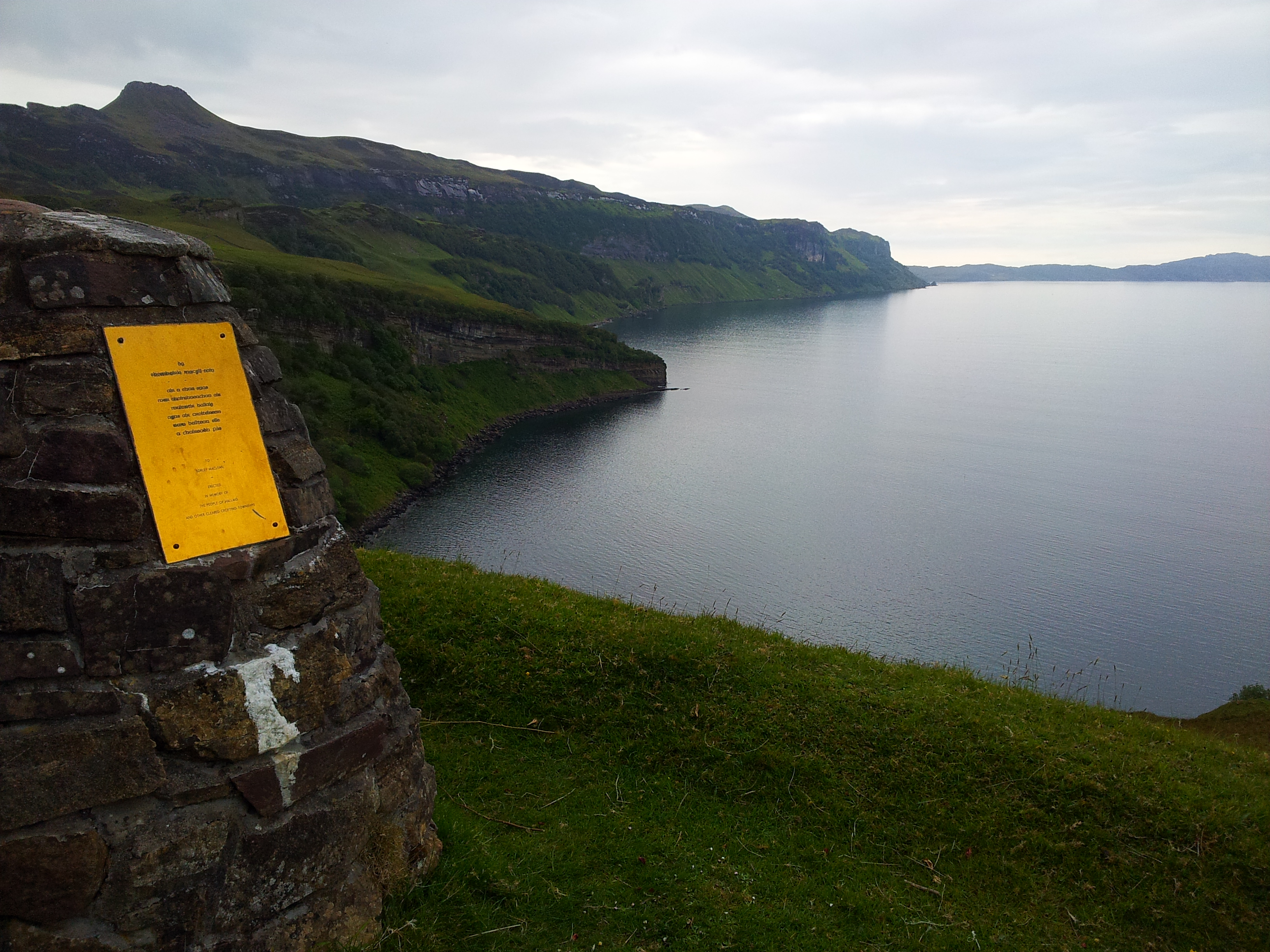
Hallaig

Hallaig is the most recognized poem of Sorley MacLean, an important Scottish poet of the 20th century. After writing it, MacLean rose to fame in the English...

Ben Tianavaig

Ben Tianavaig is a hill located on the Isle of Skye, near Portree . It is very prominent from Portree dominating the view from the harbour. It is a Marilyn...

Isle of Raasay distillery

Isle of Raasay distillery is a Scotch whisky distillery on the Inner Hebridean Isle of Raasay in Northwest Scotland. The distillery is owned by R&B Distillers...

Related Videos

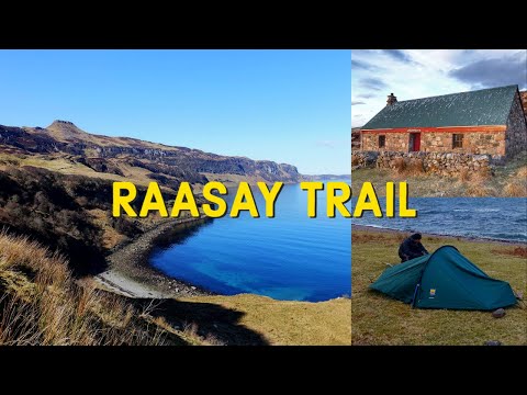
Hiking the length of Raasay (The Raasay Trail)

Hiking & Wild camping on the Isle of Raasay with a night at the bothy (The Raasay Trail). Backpacking and exploring the beautiful ...

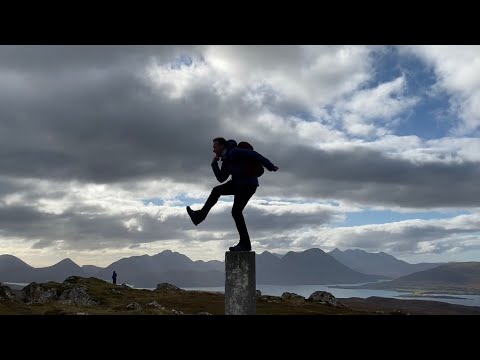
Exploring Raasay & climbing Dùn Caan

We took a day trip with the campervan to Raasay, catching the ferry from Sconser on Skye. My first visit to Raasay had to include ...

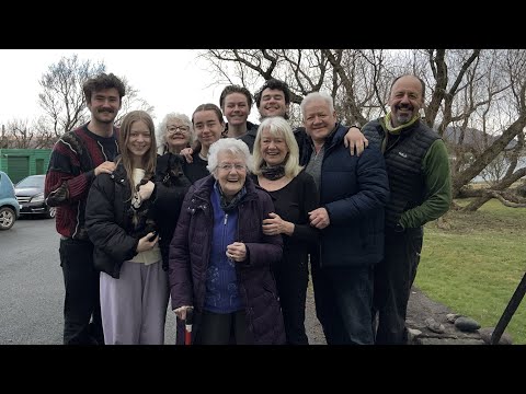
Raasay Family Easter 2023

Family trip staying at Suisnish House, walking cycling eating and drinking. Happy days.

Nearby Amenities

Located within 500m of 57.391112,-6.0708448
Source: PGS
Lat/Long: 57.387791/-6.0761526
Source: PGS
Lat/Long: 57.3887272/-6.0760254
Source: PGS
Lat/Long: 57.3891964/-6.0760753
Source: PGS
Lat/Long: 57.3894396/-6.0763499
Source: PGS
Lat/Long: 57.3895832/-6.0765001
Source: PGS
Lat/Long: 57.3897866/-6.0768267
Source: PGS
Lat/Long: 57.3899008/-6.0772106
Source: PGS
Lat/Long: 57.3900376/-6.0778146
Source: PGS
Lat/Long: 57.3902904/-6.0781479
Source: PGS
Lat/Long: 57.3904734/-6.0782754
Created By: dmgroom_coastlines
Source: PGS
Lat/Long: 57.39105/-6.07778
Created By: dmgroom_coastlines
Source: PGS
Lat/Long: 57.39155/-6.07726
Source: PGS
Lat/Long: 57.3918757/-6.0769336
Source: PGS
Lat/Long: 57.3923742/-6.0760722
Created By: dmgroom_coastlines
Source: PGS
Lat/Long: 57.3928/-6.07573
Source: PGS
Lat/Long: 57.3929532/-6.0754047
Source: PGS
Lat/Long: 57.3929425/-6.0763396
Source: PGS
Lat/Long: 57.393088/-6.0765311
Source: PGS
Lat/Long: 57.3925114/-6.0769606
Created By: dmgroom_coastlines
Source: PGS
Lat/Long: 57.39308/-6.07689
Source: PGS
Lat/Long: 57.3933499/-6.0769973
Source: PGS
Lat/Long: 57.3936611/-6.0773355
Balachuirn
Name En: Balachuirn
Name Gd: Baile a' Chùirn
Place: hamlet
Lat/Long: 57.3912858/-6.0711423
Hugh Mackay Plant Hire
Building: industrial
Landscape: industrial
Lat/Long: 57.3871249/-6.0737575
Power: pole
Lat/Long: 57.3869711/-6.072519
Power: pole
Lat/Long: 57.3868644/-6.0705863
Power: pole
Lat/Long: 57.3874967/-6.0703738
Power: pole
Lat/Long: 57.3882789/-6.0701191
Power: pole
Lat/Long: 57.3888507/-6.0699356
Power: pole
Lat/Long: 57.3891261/-6.0698381
Power: pole
Lat/Long: 57.3899074/-6.0702049
Power: pole
Lat/Long: 57.3904205/-6.0704509
Power: pole
Lat/Long: 57.3908417/-6.0707901
Power: pole
Lat/Long: 57.39123/-6.0711089
Power: pole
Lat/Long: 57.3916058/-6.0714131
Power: pole
Lat/Long: 57.392005/-6.0717275
Power: pole
Lat/Long: 57.3923306/-6.0719968
The data included in this document is from www.openstreetmap.org. The data is made available under ODbL.

Have you been to Balachuirn?

Leave your review of Balachuirn below (or comments, questions and feedback).