Back o' th' Bank

Settlement in Lancashire

England

Back o' th' Bank

The Lord Clyde A pub on the outskirts of Bolton town centre.
The Lord Clyde Credit: Phil and Juliette Platt

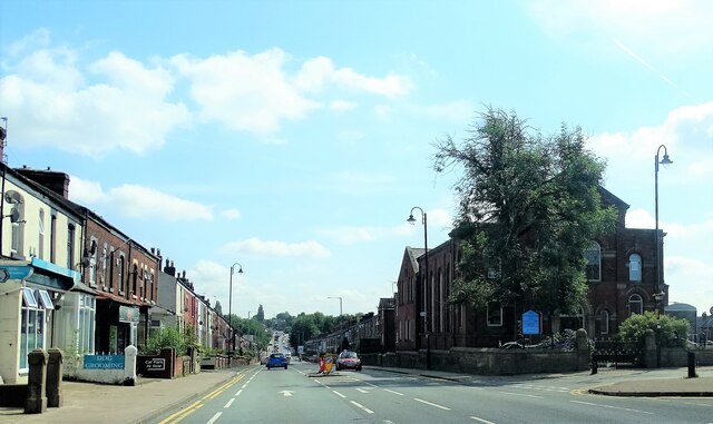
Back o' th' Bank is a small village located in the county of Lancashire, in the northwestern part of England. Situated on the southern slopes of the Pennines, the village is nestled amidst picturesque countryside, offering stunning panoramic views of the surrounding hills and valleys.

The village derives its name from its geographical location, as it is situated at the back of a hill, known locally as "the bank." With a population of around 500 residents, Back o' th' Bank exudes a tranquil and close-knit community atmosphere.

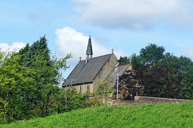
The village is characterized by its quaint stone cottages, which reflect its rich historical heritage. Many of these cottages date back several centuries, showcasing traditional Lancashire architecture. The village also boasts a charming church, which stands as a testament to its historical and religious significance.

Nature lovers will find themselves captivated by the natural beauty of Back o' th' Bank. The village is surrounded by lush green fields, offering ample opportunities for scenic walks and hikes. The nearby river provides a peaceful setting for fishing enthusiasts, while the rolling hills are a haven for birdwatchers.

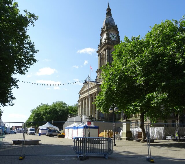
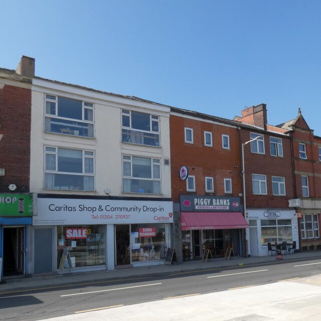
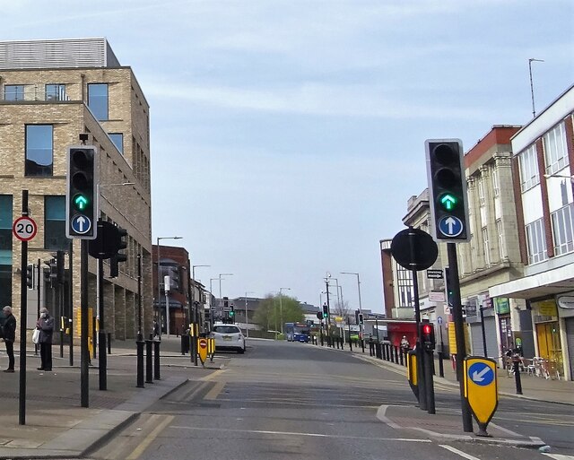
Despite its rural setting, Back o' th' Bank is conveniently located close to major towns and cities. The bustling market town of Clitheroe is a short drive away, offering a range of amenities, including shops, restaurants, and cultural attractions.

In summary, Back o' th' Bank is a charming and idyllic village in Lancashire, known for its stunning countryside, rich history, and strong sense of community.

If you have any feedback on the listing, please let us know in the comments section below.

Back o' th' Bank Images

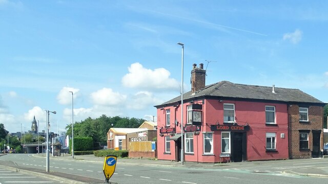
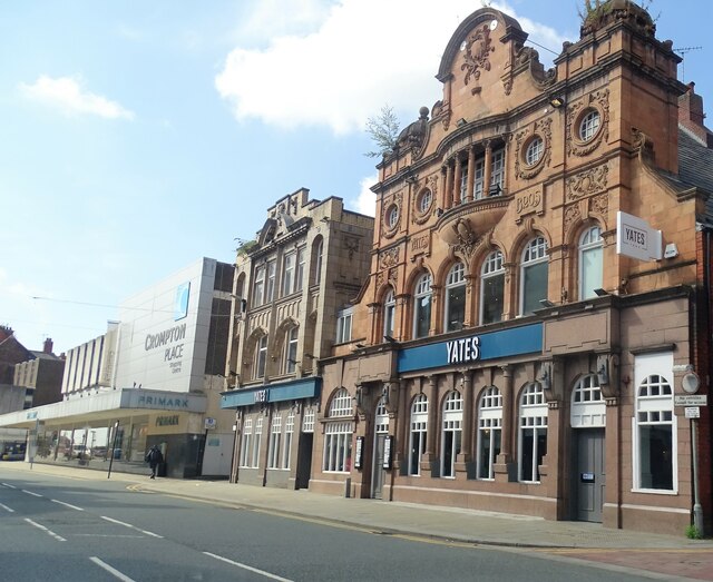
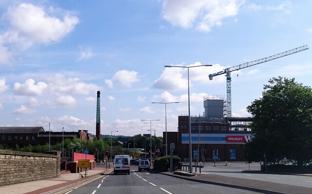
Images are sourced within 2km of 53.591991/-2.4238437 or Grid Reference SD7210. Thanks to Geograph Open Source API. All images are credited.

The Lord Clyde A pub on the outskirts of Bolton town centre.
The Lord Clyde
A pub on the outskirts of Bolton town centre.
All Saints Church Originally the church on this site was "the chapel i' th' fields". Its successor, built in 1870, is no longer "i' th' fields", but is surrounded by buildings and busy roads. The grade II listed building is now a Ukrainian Catholic church.
All Saints Church
Originally the church on this site was "the chapel i' th' fields". Its successor, built in 1870, is no longer "i' th' fields", but is surrounded by buildings and busy roads. The grade II listed building is now a Ukrainian Catholic church.
Yates bar Originally a Yates' Wine Lodge, the pub is now just Yates. The west side of the building (nearest the camera) was built in 1906 and is grade II listed.
Yates bar
Originally a Yates' Wine Lodge, the pub is now just Yates. The west side of the building (nearest the camera) was built in 1906 and is grade II listed.
Road Junction The junction of Trinity Street, Bridgeman Place, Bradshawgate and Manchester Road.
Road Junction
The junction of Trinity Street, Bridgeman Place, Bradshawgate and Manchester Road.
Bury Road At the junction with Tonge Old Road. The building at the junction is Trinity Methodist Church.
Bury Road
At the junction with Tonge Old Road. The building at the junction is Trinity Methodist Church.
Victoria Square, Bolton Preparations are underway for the town's food and drink festival which in 2021 will take place on the square and surrounding streets from 27 August to 31 August.
Victoria Square, Bolton
Preparations are underway for the town's food and drink festival which in 2021 will take place on the square and surrounding streets from 27 August to 31 August.
WWII Lancashire: Fire Watcher's Post, New Holder Street, Bolton  (1) -
Fire Watcher's Post EDoB ID: e47088
Overlooking the former gasworks, a key Luftwaffe target, it was designated Target Area No. 40 (on their list of 'things to do').

<a href="https://www.geograph.org.uk/photo/6945439">SD7109 : WWII Lancashire: Fire Watcher's Post, New Holder Street, Bolton  (2)</a>
WWII Lancashire: Fire Watcher's Post, New Holder Street, Bolton (1)
- Fire Watcher's Post EDoB ID: e47088 Overlooking the former gasworks, a key Luftwaffe target, it was designated Target Area No. 40 (on their list of 'things to do'). SD7109 : WWII Lancashire: Fire Watcher's Post, New Holder Street, Bolton (2)
WWII Lancashire: Fire Watcher's Post, New Holder Street, Bolton  (2) -
Fire Watcher's Post EDoB ID: e47088

<a href="https://www.geograph.org.uk/photo/6945437">SD7109 : WWII Lancashire: Fire Watcher's Post, New Holder Street, Bolton  (1)</a>
WWII Lancashire: Fire Watcher's Post, New Holder Street, Bolton (2)
Newport Street 
On the left is the Caritas Shop & Community Drop-in <span class="nowrap"><a title="https://www.caritassalford.org.uk/service-view/clothing-and-other-items/" rel="nofollow ugc noopener" href="https://www.caritassalford.org.uk/service-view/clothing-and-other-items/">Link</a><img style="margin-left:2px;" alt="External link" title="External link - shift click to open in new window" src="https://s1.geograph.org.uk/img/external.png" width="10" height="10"/></span> which occupies what was formerly the photographers Olan Mills.

Next door is  Piggy Banks which opened in 2017 in what had previously been Anglian home improvements. Originally it was open for breakfasts and afternoon teas but it has now transformed itself into a Cocktail and Bottle Bar.

To the right is the Station Cafe. Previously it was Trinity Cafe which had opened in 2014 in what was formerly an opticians.
<a href="https://www.geograph.org.uk/photo/5672092">SD7108 : Newport Street</a>.
Newport Street
On the left is the Caritas Shop & Community Drop-in LinkExternal link which occupies what was formerly the photographers Olan Mills. Next door is Piggy Banks which opened in 2017 in what had previously been Anglian home improvements. Originally it was open for breakfasts and afternoon teas but it has now transformed itself into a Cocktail and Bottle Bar. To the right is the Station Cafe. Previously it was Trinity Cafe which had opened in 2014 in what was formerly an opticians. SD7108 : Newport Street.
Passage to India 
Extract from a poem by Walt Whitman displayed on a column at Bolton Station.
Passage to India
Extract from a poem by Walt Whitman displayed on a column at Bolton Station.
A Lift On The Way 
Extract from a Lancashire Dialect poem by Edwin Waugh displayed on a column at Bolton Station.
A Lift On The Way
Extract from a Lancashire Dialect poem by Edwin Waugh displayed on a column at Bolton Station.
Great Moor Street, Bolton In the town centre.
Great Moor Street, Bolton
In the town centre.
Newport Street, Bolton At the bridge over the railway. The building in the background was Trinity C. of E. church but is now converted into apartments.
Newport Street, Bolton
At the bridge over the railway. The building in the background was Trinity C. of E. church but is now converted into apartments.
Bolton Town Hall, Entertaining Room Adjacent to the Mayor's Parlour Bolton’s imposing town hall stands in Victoria Square (once the site of the town's market). First opened in 1873, it was extended in the 1930s.

It is a Grade II* listed building (List Entry 1388295 <span class="nowrap"><a title="https://historicengland.org.uk/listing/the-list/list-entry/1388295?section=official-list-entry" rel="nofollow ugc noopener" href="https://historicengland.org.uk/listing/the-list/list-entry/1388295?section=official-list-entry">Link</a><img style="margin-left:2px;" alt="External link" title="External link - shift click to open in new window" src="https://s1.geograph.org.uk/img/external.png" width="10" height="10"/></span> Historic England)
Bolton Town Hall, Entertaining Room Adjacent to the Mayor's Parlour
Bolton’s imposing town hall stands in Victoria Square (once the site of the town's market). First opened in 1873, it was extended in the 1930s. It is a Grade II* listed building (List Entry 1388295 LinkExternal link Historic England)
Bolton's Elephant (and Castle) Elephants feature prominently as symbols around the town of Bolton and its town hall. The symbol of the elephant has been used in Bolton for a long time and there is some circumstantial evidence to suggest that the Great Bolton Improvement Trustees used the elephant as a heraldic device in the 1790s but there is no documentary proof to back this up. One of the first recorded uses was in the official stamp of the Clerk to the Board of Trustees in 1799. The Trustees of Great Bolton adopted an elephant and castle as the town’s emblem long before the incorporation of the borough in 1838. In 1890 the County Borough of Bolton registered a new coat of arms with the College of Heralds, using the Elephant and Castle as a crest.

As one might expect, as a symbol of the town, the elephant and castle motif features throughout the town hall. The majority of the elephants inside the town hall are fixtures but some are on items such as chairs in the banqueting hall and on the mayoral insignia, including chains and badges. This one is a decoration on top of a silver tureen in <a href="https://www.geograph.org.uk/photo/7172360">SD7109 : Bolton Town Hall, Entertaining Room Adjacent to the Mayor's Parlour</a>.
Bolton's Elephant (and Castle)
Elephants feature prominently as symbols around the town of Bolton and its town hall. The symbol of the elephant has been used in Bolton for a long time and there is some circumstantial evidence to suggest that the Great Bolton Improvement Trustees used the elephant as a heraldic device in the 1790s but there is no documentary proof to back this up. One of the first recorded uses was in the official stamp of the Clerk to the Board of Trustees in 1799. The Trustees of Great Bolton adopted an elephant and castle as the town’s emblem long before the incorporation of the borough in 1838. In 1890 the County Borough of Bolton registered a new coat of arms with the College of Heralds, using the Elephant and Castle as a crest. As one might expect, as a symbol of the town, the elephant and castle motif features throughout the town hall. The majority of the elephants inside the town hall are fixtures but some are on items such as chairs in the banqueting hall and on the mayoral insignia, including chains and badges. This one is a decoration on top of a silver tureen in SD7109 : Bolton Town Hall, Entertaining Room Adjacent to the Mayor's Parlour.
Bolton Town Hall, The Mayor's Parlour Bolton’s imposing town hall stands in Victoria Square (once the site of the town's market). First opened in 1873, it was extended in the 1930s.

It is a Grade II* listed building (List Entry 1388295 <span class="nowrap"><a title="https://historicengland.org.uk/listing/the-list/list-entry/1388295?section=official-list-entry" rel="nofollow ugc noopener" href="https://historicengland.org.uk/listing/the-list/list-entry/1388295?section=official-list-entry">Link</a><img style="margin-left:2px;" alt="External link" title="External link - shift click to open in new window" src="https://s1.geograph.org.uk/img/external.png" width="10" height="10"/></span> Historic England)
Bolton Town Hall, The Mayor's Parlour
Bolton’s imposing town hall stands in Victoria Square (once the site of the town's market). First opened in 1873, it was extended in the 1930s. It is a Grade II* listed building (List Entry 1388295 LinkExternal link Historic England)
The Council Chamber, Bolton Town Hall Originally the courtroom.
The Council Chamber, Bolton Town Hall
Originally the courtroom.
Victoria Square, a view from Bolton Town Hall A view of Victoria Square and the town's War Memorial from the (former) main entrance to Bolton Town Hall, looking between the pillars at the top of the steps.

The Bolton Cenotaph War Memorial is possibly one of the finest of the many memorials in England commemorating the end of the 1914-1918 War. It is a Grade II Listed Building (List Entry 1388289  <span class="nowrap"><a title="https://historicengland.org.uk/listing/the-list/list-entry/1388289" rel="nofollow ugc noopener" href="https://historicengland.org.uk/listing/the-list/list-entry/1388289">Link</a><img style="margin-left:2px;" alt="External link" title="External link - shift click to open in new window" src="https://s1.geograph.org.uk/img/external.png" width="10" height="10"/></span> Historic England).
Victoria Square, a view from Bolton Town Hall
A view of Victoria Square and the town's War Memorial from the (former) main entrance to Bolton Town Hall, looking between the pillars at the top of the steps. The Bolton Cenotaph War Memorial is possibly one of the finest of the many memorials in England commemorating the end of the 1914-1918 War. It is a Grade II Listed Building (List Entry 1388289 LinkExternal link Historic England).
Show me another place!

Back o' th' Bank is located at Grid Ref: SD7210 (Lat: 53.591991, Lng: -2.4238437)

Unitary Authority: Bolton

Police Authority: Greater Manchester

What 3 Words

///quest.moved.trap. Near Bolton, Manchester

Related Wikis

Bolton power stations

The two Bolton power stations supplied electric power to the town of Bolton and the wider area between 1894 and 1979. The first power station was located...

Eagley Brook

Eagley Brook (also known during the formative part of its course as Belmont Brook) is a small river of Lancashire and Greater Manchester in England. Rising...

Astley Brook

Astley Brook is a river in Greater Manchester, England.Rising at the confluence of Dean Brook and Raveden Brook near Halliwell in the Metropolitan Borough...

Astley Bridge railway station

Astley Bridge railway station served the village of Astley Bridge, England, from 1877 to 1879 on the Astley Branch Railway. == History == In 1871, the...

Nearby Amenities

Located within 500m of 53.591991,-2.4238437
Bus Stop
Eagley Brook Way/The Valley
Bus: yes
Naptan AtcoCode: 1800WA03011
Naptan Bearing: W
Naptan CommonName: Eagley Brook Way/The Valley
Naptan Indicator: Op House 1
Naptan Landmark: OP HOUSE 1
Naptan NaptanCode: manjwgdw
Naptan PlusbusZoneRef: MNCRPIC
Naptan ShortCommonName: The Valley
Naptan Street: EAGLEY BROOK WY
Naptan Verified: no
Network: TfGM
Public Transport: platform
Source: naptan_import
Lat/Long: 53.5959037/-2.4250511
Bus Stop
Blackburn Rd/Waterloo St
Bus: yes
Naptan AtcoCode: 1800WA04911
Naptan Bearing: S
Naptan CommonName: Blackburn Rd/Waterloo St
Naptan Indicator: Victoria
Naptan Landmark: BAKERY
Naptan NaptanCode: manjwgtp
Naptan PlusbusZoneRef: MNCRPIC
Naptan ShortCommonName: Waterloo St
Naptan Street: BLACKBURN ROAD
Naptan Verified: no
Network: TfGM
Public Transport: platform
Source: naptan_import
Lat/Long: 53.5901863/-2.4305346
Bus Stop
Blackburn Rd/Draycott St
Bus: yes
Naptan AtcoCode: 1800WA19551
Naptan Bearing: N
Naptan CommonName: Blackburn Rd/Draycott St
Naptan Indicator: School
Naptan Landmark: MOSQUE
Naptan NaptanCode: manpdpmt
Naptan PlusbusZoneRef: MNCRPIC
Naptan ShortCommonName: Draycott St
Naptan Street: BLACKBURN ROAD
Naptan Verified: no
Network: TfGM
Public Transport: platform
Source: naptan_import
Lat/Long: 53.5922233/-2.4312086
Bus Stop
Blackburn Rd/Draycott St
Bus: yes
Naptan AtcoCode: 1800WA19561
Naptan Bearing: S
Naptan CommonName: Blackburn Rd/Draycott St
Naptan Indicator: Church
Naptan Landmark: CHURCH
Naptan NaptanCode: manpdpmw
Naptan PlusbusZoneRef: MNCRPIC
Naptan ShortCommonName: Draycott St
Naptan Street: BLACKBURN ROAD
Naptan Verified: no
Network: TfGM
Public Transport: platform
Source: naptan_import
Lat/Long: 53.5914248/-2.4308077
Barrier: bollard
Motor Vehicle: no
Lat/Long: 53.5906126/-2.429486
Mini Roundabout
Direction: clockwise
Lat/Long: 53.5960016/-2.4254086
Parking
Lat/Long: 53.589811/-2.4302246
Power: tower
Lat/Long: 53.5915064/-2.420324
Turning Circle
Lat/Long: 53.5929523/-2.4302051
Mini Roundabout
Lat/Long: 53.5915164/-2.4273707
Mini Roundabout
Lat/Long: 53.59233/-2.4274475
Crossing
Lat/Long: 53.5922359/-2.4275299
Crossing
Lat/Long: 53.5921556/-2.4273999
Crossing
Lat/Long: 53.5917038/-2.4273681
Crossing
Lat/Long: 53.5914125/-2.4272858
Crossing
Lat/Long: 53.591022/-2.4270842
Turning Circle
Lat/Long: 53.5913741/-2.4284732
Crossing
Crossing: uncontrolled
Kerb: lowered
Lat/Long: 53.5920099/-2.4236449
Barrier: lift_gate
Lat/Long: 53.5956013/-2.4258221
Cycleway: asl
Lat/Long: 53.5894455/-2.430015
Crossing
Crossing: marked
Lat/Long: 53.5894279/-2.4300655
Traffic Signals
Traffic Signals: signal
Traffic Signals Direction: forward
Lat/Long: 53.5894608/-2.4299432
Crossing
Crossing: unmarked
Crossing Island: yes
Tactile Paving: yes
Lat/Long: 53.5895961/-2.4272259
Waterway: weir
Lat/Long: 53.5943024/-2.4238887
Man Made: mast
Tower Type: communication
Lat/Long: 53.5887513/-2.4201423
Waterway: weir
Lat/Long: 53.5886749/-2.4226029
Power: tower
Lat/Long: 53.5915037/-2.4189333
Post Box
Lat/Long: 53.5883483/-2.4265795
Post Box
Lat/Long: 53.5883307/-2.4265678
Crossing
Crossing: marked
Crossing Island: no
Tactile Paving: yes
Lat/Long: 53.5916082/-2.4309415
Crossing
Lat/Long: 53.5917807/-2.4287629
Turning Circle
Lat/Long: 53.5910208/-2.4289644
Turning Circle
Lat/Long: 53.5917122/-2.4294877
Crossing
Crossing: unmarked
Lat/Long: 53.5921789/-2.4238186
Crossing
Crossing: marked
Lat/Long: 53.5895896/-2.4302539
Post Box
Lat/Long: 53.5911805/-2.4307603
Barrier: bollard
Lat/Long: 53.5927483/-2.4289677
Waste Basket
Lat/Long: 53.5927807/-2.4292793
Traffic Signals
Traffic Signals: signal
Traffic Signals Direction: forward
Lat/Long: 53.5915658/-2.4309321
Traffic Signals
Traffic Signals: signal
Traffic Signals Direction: backward
Lat/Long: 53.5916338/-2.4309473
Waste Basket
Lat/Long: 53.5941485/-2.4289001
Waterway: weir
Lat/Long: 53.5927474/-2.423517
Crossing
Crossing: marked
Lat/Long: 53.5882575/-2.4263018
Crossing
Crossing: marked
Lat/Long: 53.5882455/-2.4265422
Crossing
Crossing: unmarked
Lat/Long: 53.5901977/-2.4262005
Crossing
Crossing: unmarked
Lat/Long: 53.5901673/-2.4261039
The data included in this document is from www.openstreetmap.org. The data is made available under ODbL.

Have you been to Back o' th' Bank?

Leave your review of Back o' th' Bank below (or comments, questions and feedback).