Allt nan Sùgh

Settlement in Ross-shire

Scotland

Allt nan Sùgh

House at Allt-nan-sùgh Allt-nan-sùgh is a small, scattered settlement above Loch Long. The image was made in May 1995 when the property in view appeared to be in need of a new roof; in a later image it has clearly had one - <a title="https://www.geograph.org.uk/photo/3515162" href="https://www.geograph.org.uk/photo/3515162">Link</a> .
In the distance beyond the head of Loch Long are the peaks Ben Killilan and Sgùman Còinntich.
House at Allt-nan-sùgh Credit: Trevor Littlewood

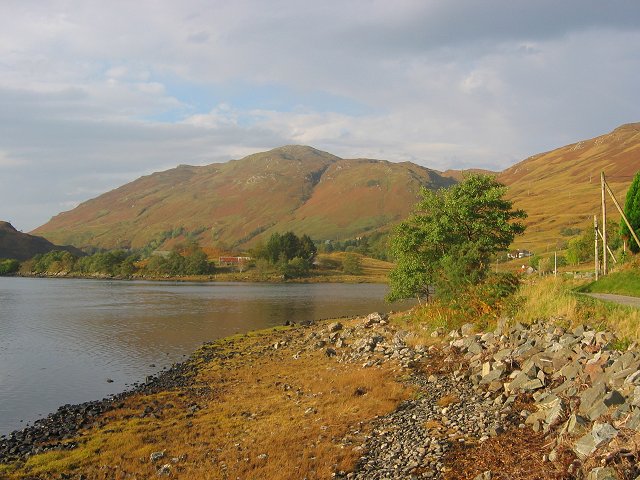
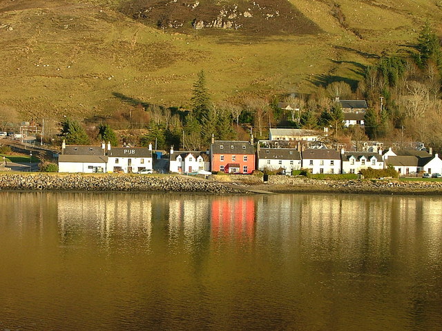
Allt nan Sùgh is a small village located in Ross-shire, Scotland. Situated in the northern part of the country, it lies within the Scottish Highlands, surrounded by breathtaking landscapes and natural beauty. The village is nestled on the banks of the Allt nan Sùgh River, from which it derives its name.

This rural community is characterized by its peaceful and idyllic atmosphere, attracting visitors looking for a tranquil escape. The village is home to a small population, primarily engaged in agriculture, forestry, and tourism-related activities. The residents take pride in preserving the area's natural heritage and traditional way of life.

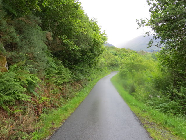
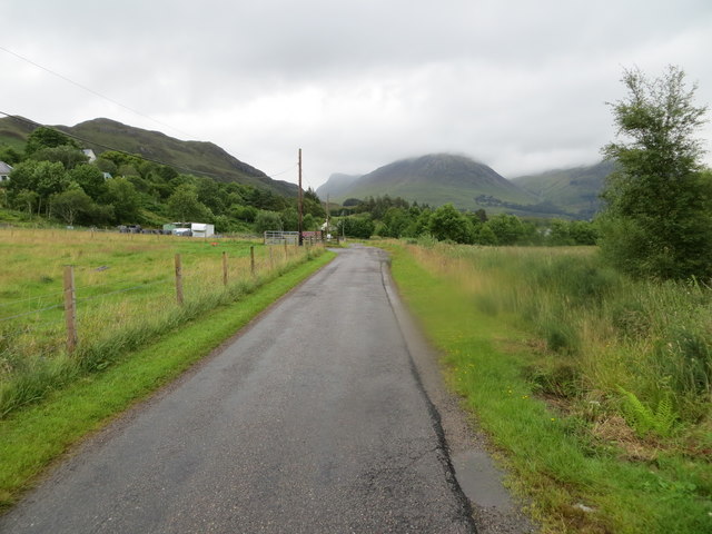
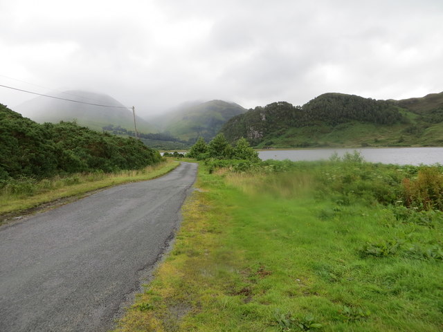
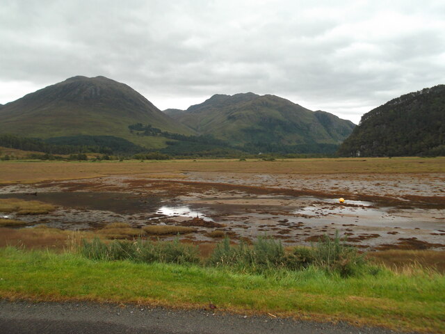
Nature enthusiasts will find plenty to explore in Allt nan Sùgh. The surrounding area is renowned for its picturesque hiking trails, offering stunning views of the neighboring mountains and valleys. Wildlife is abundant, with opportunities for birdwatching and observing native species in their natural habitats.

For those interested in history and culture, Allt nan Sùgh is within close proximity to several notable landmarks. The nearby ruins of Castle Leod, a historic seat of the Clan Mackenzie, are a popular attraction. Additionally, various archaeological sites from different periods can be found in the surrounding area, providing insight into the region's past.

Although Allt nan Sùgh may be small in size, its natural beauty and rich history make it a hidden gem within Ross-shire. With its peaceful atmosphere and stunning surroundings, it offers a serene retreat for anyone seeking a break from the hustle and bustle of modern life.

If you have any feedback on the listing, please let us know in the comments section below.

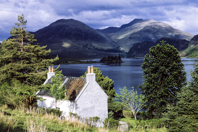
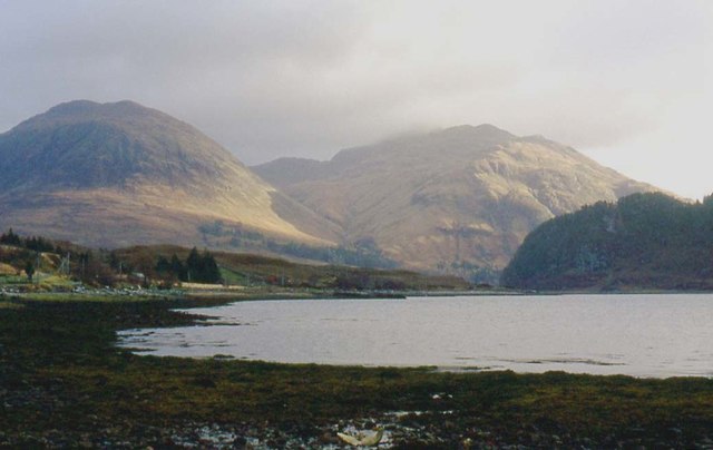
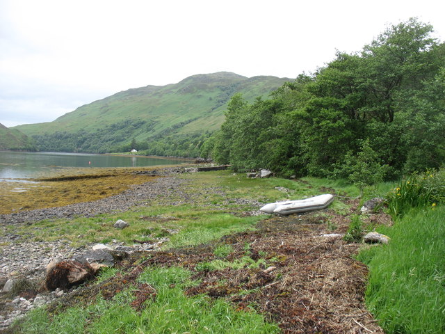
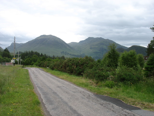
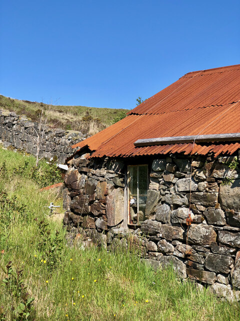
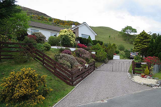
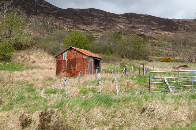
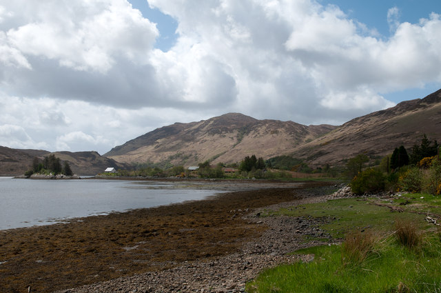
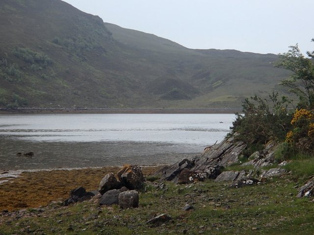
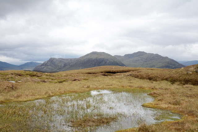
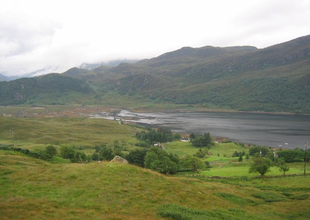
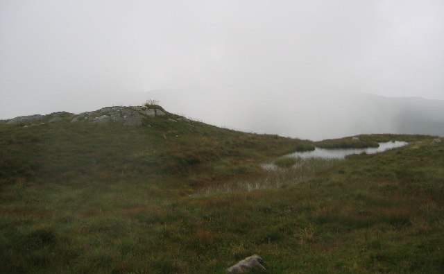
Allt nan Sùgh Images

Images are sourced within 2km of 57.311177/-5.4840286 or Grid Reference NG9029. Thanks to Geograph Open Source API. All images are credited.

House at Allt-nan-sùgh Allt-nan-sùgh is a small, scattered settlement above Loch Long. The image was made in May 1995 when the property in view appeared to be in need of a new roof; in a later image it has clearly had one - <a title="https://www.geograph.org.uk/photo/3515162" href="https://www.geograph.org.uk/photo/3515162">Link</a> .
In the distance beyond the head of Loch Long are the peaks Ben Killilan and Sgùman Còinntich.
House at Allt-nan-sùgh
Allt-nan-sùgh is a small, scattered settlement above Loch Long. The image was made in May 1995 when the property in view appeared to be in need of a new roof; in a later image it has clearly had one - Link . In the distance beyond the head of Loch Long are the peaks Ben Killilan and Sgùman Còinntich.
Ebbing tide at Sallachy
Beside Loch Long There are many longer lochs in Scotland, including the other Loch Long (west of Loch Lomond).
Beside Loch Long
There are many longer lochs in Scotland, including the other Loch Long (west of Loch Lomond).
Entering Sallachy The hills beyond are part of the extensive Killilan Forest.
Entering Sallachy
The hills beyond are part of the extensive Killilan Forest.
Minor road approaching Tornasithe Looking north-eastward.
Minor road approaching Tornasithe
Looking north-eastward.
Minor road approaching Sallachy Looking north-eastward.
Minor road approaching Sallachy
Looking north-eastward.
Road beside Loch Long heading towards Sean Tigh Osda Looking eastward.
Road beside Loch Long heading towards Sean Tigh Osda
Looking eastward.
Tide out at Sallachy
Rustic Charm—The Weathered Stone Barn with a Rusty Tin Roof
The Garden at Duloe A neat garden by the road, with the sort of rhododendrons and azaleas that do well in the north-west Highland climate.
The Garden at Duloe
A neat garden by the road, with the sort of rhododendrons and azaleas that do well in the north-west Highland climate.
Minor road near Allt-nan-Sugh Looking south-westward from 'The Berry'.
Minor road near Allt-nan-Sugh
Looking south-westward from 'The Berry'.
Corrugated metal building near Sallachy Sallachy is a settlement of scattered homes on the north side of Loch Long; the building seen here lies to the west of the village on the lower slopes of Creag Mhòr.
Corrugated metal building near Sallachy
Sallachy is a settlement of scattered homes on the north side of Loch Long; the building seen here lies to the west of the village on the lower slopes of Creag Mhòr.
Loch Long at Sallachy Sallachy is a dispersed collection of homes lying on the north side of Loch Long; Beinn Conchra is the mountain in the distance.
Loch Long at Sallachy
Sallachy is a dispersed collection of homes lying on the north side of Loch Long; Beinn Conchra is the mountain in the distance.
Loch Long view There are splendid, ever-changing local views on the drive by the loch, for example here at Sallachy.
Loch Long view
There are splendid, ever-changing local views on the drive by the loch, for example here at Sallachy.
Boggy moorland on Creag Mhòr The pool and bog lie a short distance south of the summit of Creag Mhòr. The distant hills are Sguman Coinntich and Ben Killilan, both east of the head of Loch Long.
Boggy moorland on Creag Mhòr
The pool and bog lie a short distance south of the summit of Creag Mhòr. The distant hills are Sguman Coinntich and Ben Killilan, both east of the head of Loch Long.
Sallachy and Loch Long
Summit of Creag Mhor. The summit is like any other bit of ground up here, purple moorgrass marinated in glour. Peat, rock and water.
Summit of Creag Mhor.
The summit is like any other bit of ground up here, purple moorgrass marinated in glour. Peat, rock and water.
Loch Long, Sallachy View westwards along the shore of Loch Long to Beinn Conchra.
Loch Long, Sallachy
View westwards along the shore of Loch Long to Beinn Conchra.
Show me another place!

Allt nan Sùgh is located at Grid Ref: NG9029 (Lat: 57.311177, Lng: -5.4840286)

Unitary Authority: Highland

Police Authority: Highlands and Islands

What 3 Words

///pausing.conjured.shadow. Near Lochcarron, Highland

Nearby Locations

Allt nan Sùgh

Related Wikis

Sallachy

Sallachy (Scottish Gaelic: Salachaidh) is a hamlet on the north shore of Loch Long in the district of Skye and Lochalsh in the Scottish Highlands and is...

Loch Long, Highlands

Loch Long is a sea loch situated on the western coast of Scotland, in the Highlands. It is a popular destination for tourists and fishers. The nearby...

Loch Anna

Loch Anna is a small, upland, freshwater loch approximately 2.4 km (1.5 mi) north of Loch Alsh at Ardelve, in Lochalsh, Scotland. It lies in a northwest...

Dornie

Dornie (Scottish Gaelic: An Dòrnaidh) is a small former fishing village in the Lochalsh district in western Ross-shire Highlands of Scotland (2006 census...

Nearby Amenities

Located within 500m of 57.311177,-5.4840286
Created By: almien_coastlines
Source: PGS
Lat/Long: 57.3075205/-5.4883576
Created By: almien_coastlines
Source: PGS
Lat/Long: 57.3078/-5.487869
Created By: almien_coastlines
Source: PGS
Lat/Long: 57.3082175/-5.4871626
Created By: almien_coastlines
Source: PGS
Lat/Long: 57.3082297/-5.4859584
Created By: almien_coastlines
Source: PGS
Lat/Long: 57.3083357/-5.484903
Created By: almien_coastlines
Source: PGS
Lat/Long: 57.309003/-5.4848888
Created By: almien_coastlines
Source: PGS
Lat/Long: 57.3094976/-5.4845215
Created By: almien_coastlines
Source: PGS
Lat/Long: 57.310044/-5.484472
Created By: almien_coastlines
Source: PGS
Lat/Long: 57.3102777/-5.484243
Created By: almien_coastlines
Source: PGS
Lat/Long: 57.310451/-5.483315
Created By: almien_coastlines
Source: PGS
Lat/Long: 57.310584/-5.483088
Created By: almien_coastlines
Source: PGS
Lat/Long: 57.310716/-5.482859
Created By: almien_coastlines
Source: PGS
Lat/Long: 57.310991/-5.481931
Created By: almien_coastlines
Source: PGS
Lat/Long: 57.311124/-5.481705
Created By: almien_coastlines
Source: PGS
Lat/Long: 57.311256/-5.481476
Created By: almien_coastlines
Source: PGS
Lat/Long: 57.311389/-5.481249
Created By: almien_coastlines
Source: PGS
Lat/Long: 57.311909/-5.480811
Created By: almien_coastlines
Source: PGS
Lat/Long: 57.312042/-5.480582
Created By: almien_coastlines
Source: PGS
Lat/Long: 57.312316/-5.479654
Created By: almien_coastlines
Source: PGS
Lat/Long: 57.31259/-5.478726
Source: PGS
Lat/Long: 57.3128505/-5.4775512
Allt-nan-Subh
Name Gd: Alt nan Sùbh
Note: One sign has "Allt an Subh"; I'm trusting the newer (and Gaelicly-correct) one.
Place: hamlet
Source: survey
Lat/Long: 57.3097027/-5.4863846
Power: pole
Lat/Long: 57.3104089/-5.4859002
Power: pole
Lat/Long: 57.3134595/-5.4832936
Power: pole
Lat/Long: 57.3127686/-5.4843933
Power: pole
Lat/Long: 57.3088269/-5.4906455
Power: pole
Lat/Long: 57.314908/-5.4810244
Power: pole
Lat/Long: 57.3111761/-5.487007
Power: pole
Lat/Long: 57.3119892/-5.4856566
Power: pole
Lat/Long: 57.310377/-5.4882973
Power: pole
Lat/Long: 57.3141475/-5.4822234
Power: pole
Lat/Long: 57.3109166/-5.4868272
Power: pole
Lat/Long: 57.310287/-5.4855603
Power: pole
Lat/Long: 57.3121015/-5.4847317
Power: pole
Lat/Long: 57.3114943/-5.4858056
Power: pole
Lat/Long: 57.3102395/-5.4882374
Power: pole
Lat/Long: 57.3095725/-5.4895161
Power: pole
Lat/Long: 57.3097494/-5.4888625
Power: pole
Lat/Long: 57.3090565/-5.4897463
The data included in this document is from www.openstreetmap.org. The data is made available under ODbL.

Have you been to Allt nan Sùgh?

Leave your review of Allt nan Sùgh below (or comments, questions and feedback).