Woolpack Fleet
Coastal Marsh, Saltings in Kent Shepway
England
Woolpack Fleet
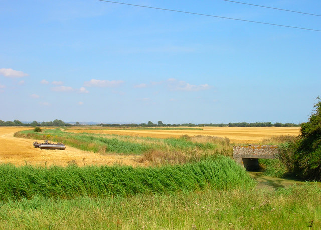
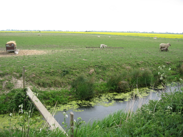
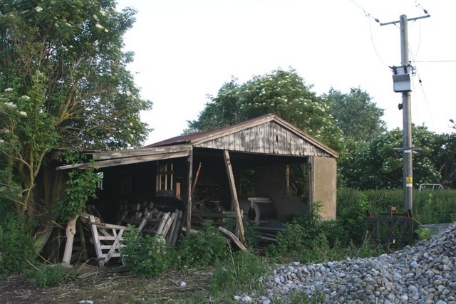
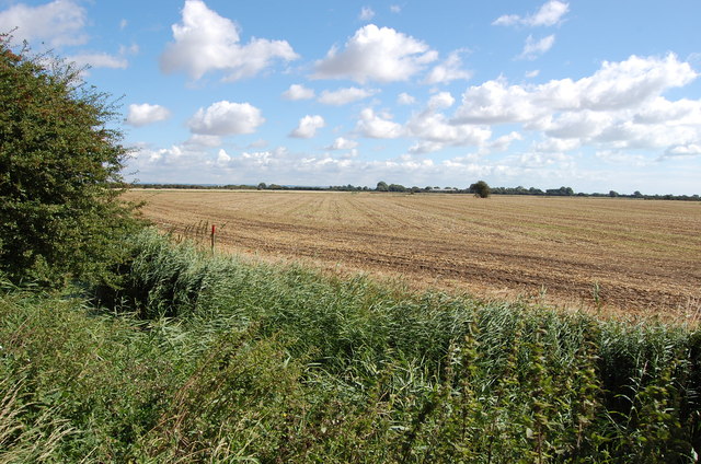
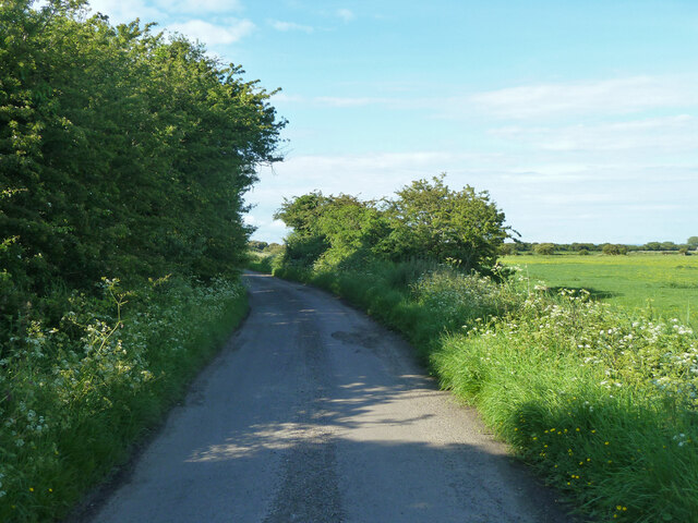
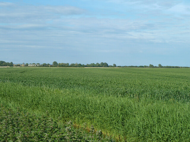
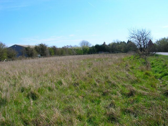
Woolpack Fleet, located in Kent, England, is a picturesque coastal marshland characterized by its unique saltings. Situated along the eastern coast of the county, this natural habitat is a haven for a diverse range of flora and fauna, making it an important ecological site.
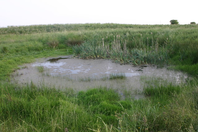
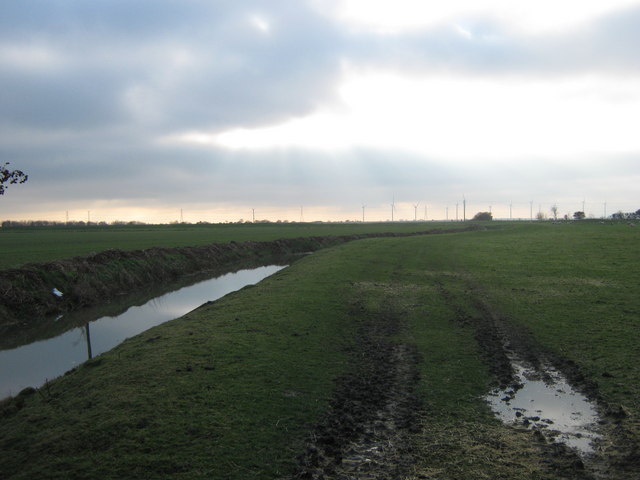
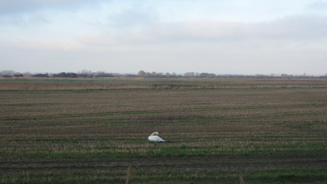
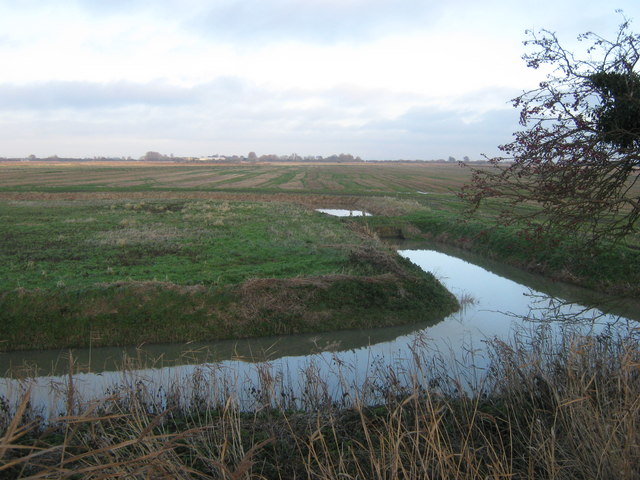
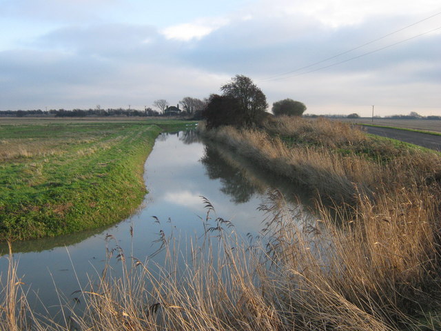
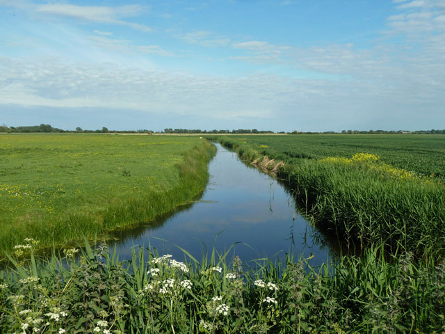
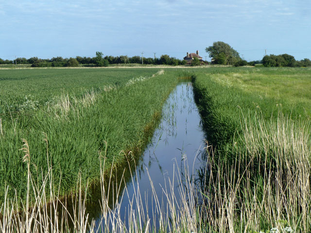
The marshland of Woolpack Fleet is primarily composed of tidal mudflats and salt marshes, which are regularly flooded by the tides of the North Sea. This constant ebb and flow of water creates an ideal environment for salt-tolerant plants to thrive, such as samphire, sea lavender, and sea purslane. These plants not only provide vital nutrients for the local wildlife but also help stabilize the marshland against coastal erosion.
The area is a haven for numerous bird species, including wading birds like redshanks, curlews, and oystercatchers, who feed on the rich invertebrate life found in the mudflats. During the migratory season, the marshes become home to a variety of waterfowl, such as teal, wigeons, and pintails, making it a popular spot for birdwatchers.
Woolpack Fleet also plays a significant role in flood prevention, acting as a natural buffer against storm surges and high tides. The marshland acts as a sponge, absorbing excess water and reducing the risk of flooding in nearby coastal communities.
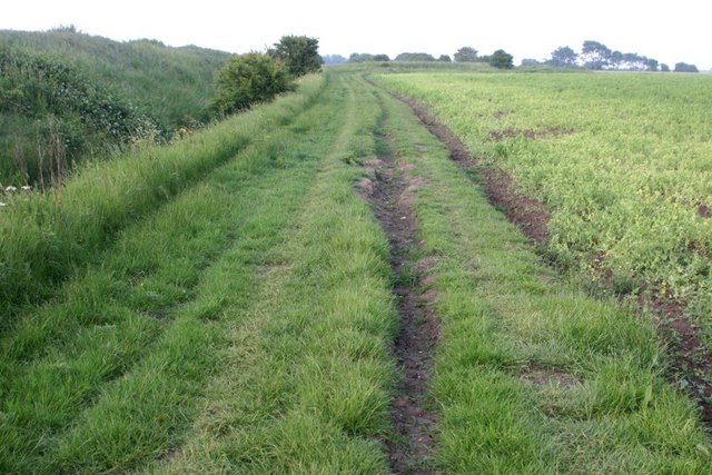
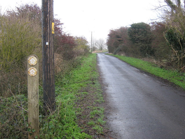
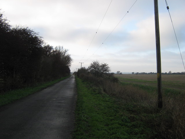
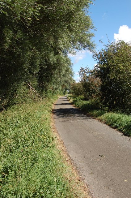
Visitors to Woolpack Fleet can enjoy scenic walks along the marshes, observing the diverse wildlife and taking in the serene coastal landscape. The area is also well-suited for nature photography and environmental research, attracting scientists and enthusiasts alike.
Overall, Woolpack Fleet in Kent is a treasured coastal marshland, rich in biodiversity and environmental importance.
If you have any feedback on the listing, please let us know in the comments section below.
Woolpack Fleet Images
Images are sourced within 2km of 50.98078/0.83195839 or Grid Reference TQ9823. Thanks to Geograph Open Source API. All images are credited.
Woolpack Fleet is located at Grid Ref: TQ9823 (Lat: 50.98078, Lng: 0.83195839)
Administrative County: Kent
District: Shepway
Police Authority: Kent
What 3 Words
///correctly.spray.tweed. Near Stone, Kent
Nearby Locations
Related Wikis

Walland Marsh
Walland Marsh is a part of Romney Marsh, mostly in Kent with part in East Sussex. The name means wall-land: its north-eastern border, separating it from...
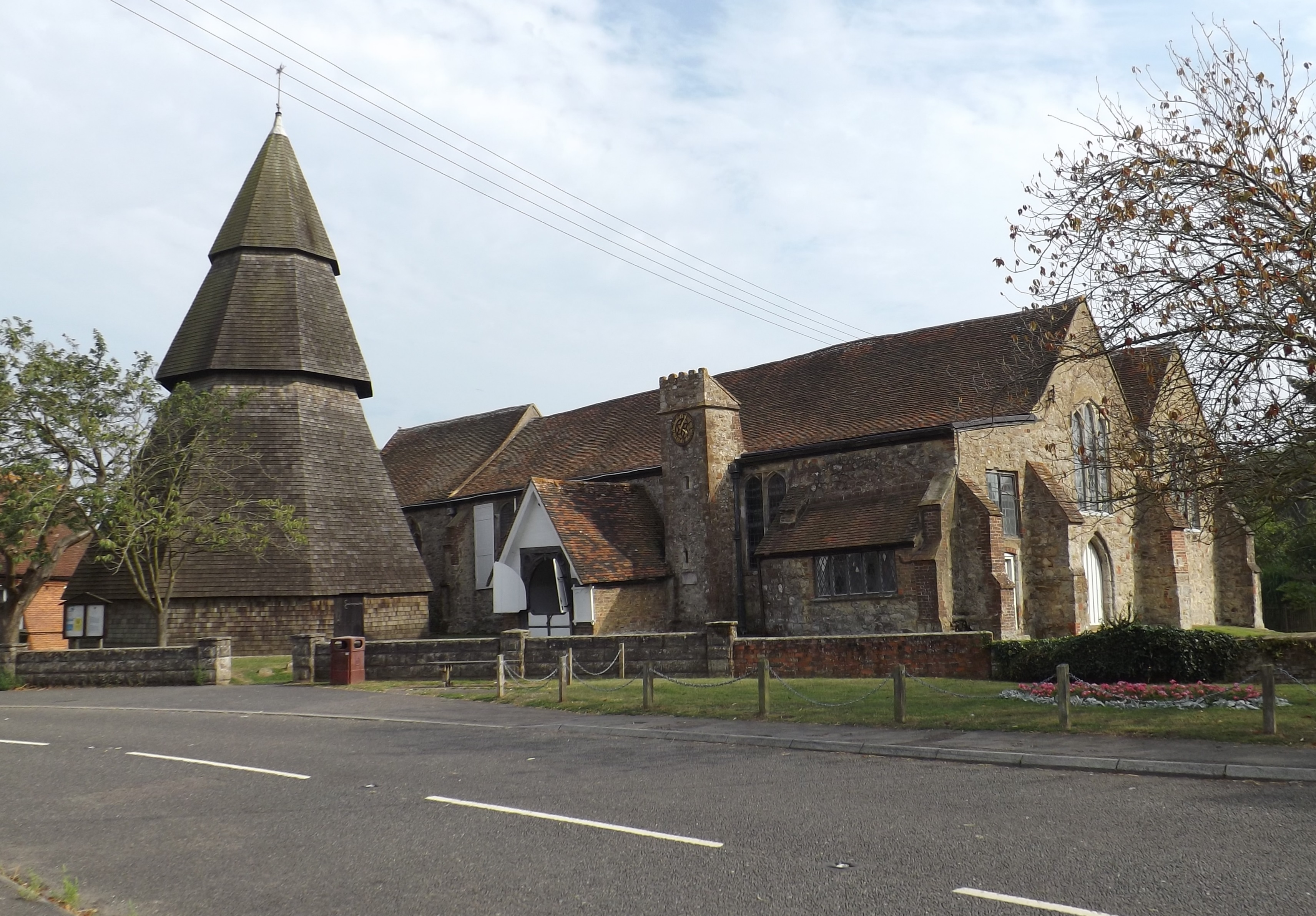
St Augustine's Church, Brookland
St Augustine's Church is a Grade I listed Anglican church in the village of Brookland, Kent, in Walland Marsh, about 5 miles (8.0 km) north-east of Rye...

Brookland, Kent
Brookland is a village and civil parish in the Folkestone and Hythe district of Kent, England, about 5 miles (8 km) west of New Romney. According to the...

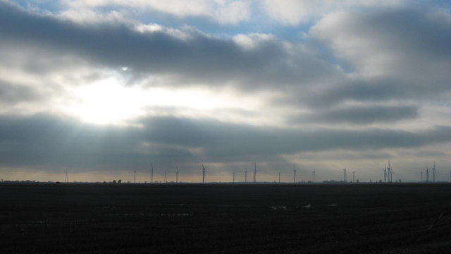
Little Cheyne Court Wind Farm
The Little Cheyne Court Wind Farm is located 7 kilometres (4.3 miles) west of Lydd on Romney Marsh. It was built by npower renewables and cost around...

Brookland Halt railway station
Brookland Halt was a railway station which served the village of Brookland in Kent, England. The station opened in 1881 and closed in 1967. == History... ==

RAF Lydd
Royal Air Force Lydd or more simply RAF Lydd is a former Royal Air Force Advanced Landing Ground located 2 miles (3.2 km) north-west of Lydd, Kent and...
Rhee Wall
The Rhee Wall is a former watercourse in Romney Marsh in Kent. It is 7.5 miles (12.1 km) long and runs from Appledore, on the north-western edge of Romney...

Fairfield, Kent
Fairfield is a village and former civil parish, now in the parish of Snargate, in the Folkestone and Hythe district of Kent, England. In 1931 the parish...
Related Videos

A Romney Marsh Road trip through Kent, taking in the coast along the way (Pt1/2)
Our Romney Marsh Road trip through Kent, taking in the coast along the way. Part of Our Kent Road trip series ...

Best sandy beach of Kent, UK - Lydd-on-Sea (drone video)
Lydd-on-Sea, Kent and its stunning beach is considered one of the best beaches in Kent. The beach at Lydd-on-Sea is part of the ...

A tour of the Historic Churches of Romney Marsh - Part 2
The second part of our little road trip to take a look at the last seven medieval churches of Romney Marsh as identified by 'The ...

A tour of the Historic Churches of Romney Marsh - Part 1
Our little road trip to take a look at the first seven medieval churches of Romney Marsh as identified by 'The Romney Marshes ...
Nearby Amenities
Located within 500m of 50.98078,0.83195839Have you been to Woolpack Fleet?
Leave your review of Woolpack Fleet below (or comments, questions and feedback).