Blacktoft Sands
Coastal Marsh, Saltings in Yorkshire
England
Blacktoft Sands
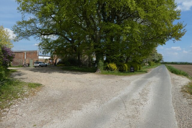
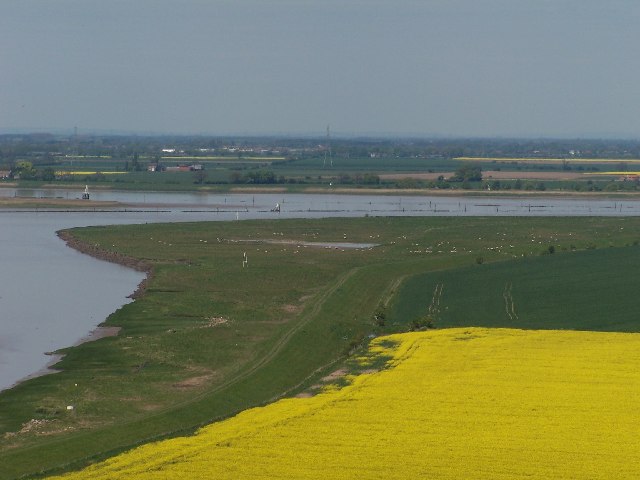
Blacktoft Sands is a coastal marshland located in the East Riding of Yorkshire, England. Situated on the northern bank of the River Ouse, it is a designated nature reserve managed by the Royal Society for the Protection of Birds (RSPB). The site covers an area of approximately 105 hectares and is renowned for its diverse wildlife.
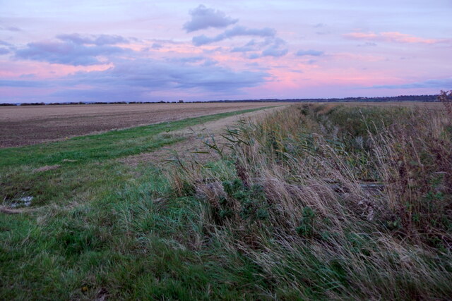
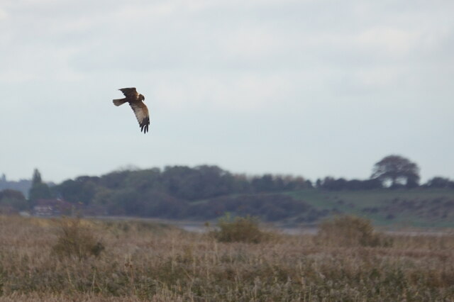
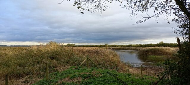
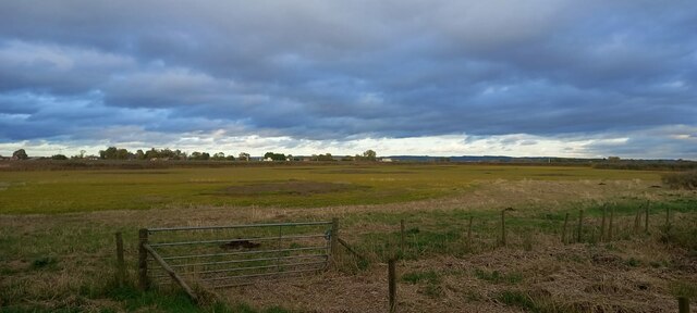
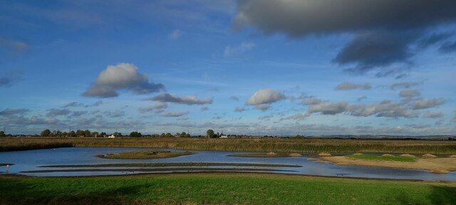
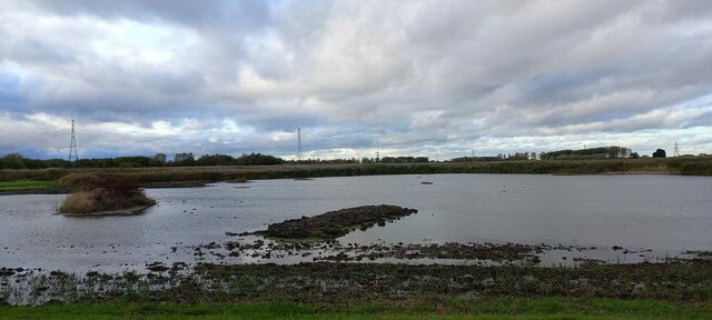
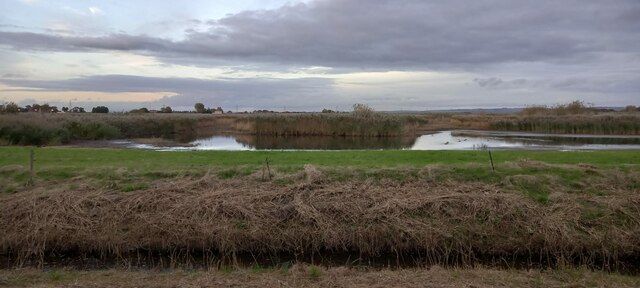
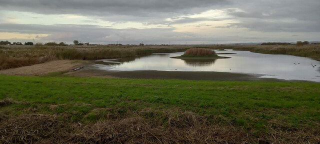
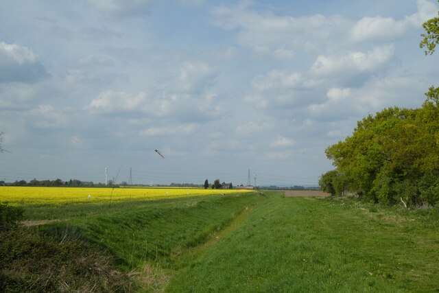
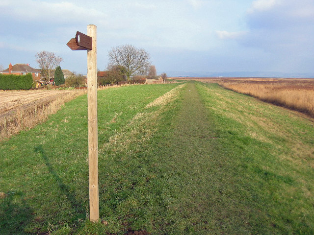
The landscape of Blacktoft Sands is characterized by extensive mudflats, saltmarshes, and reedbeds. These habitats provide an ideal environment for a wide range of bird species, making it a popular destination for birdwatching enthusiasts. The reserve is particularly known for its large populations of wading birds, including avocets, redshanks, and lapwings.
Visitors to Blacktoft Sands can explore a network of well-maintained trails and observation points, offering excellent opportunities to observe and photograph the abundant wildlife. The reserve also features several hides strategically positioned to provide uninterrupted views of the bird-filled lagoons and wetlands.
Throughout the year, Blacktoft Sands hosts various events and guided walks led by knowledgeable RSPB staff and volunteers. These activities aim to educate visitors about the importance of conservation and the rich biodiversity found within the reserve.
In addition to its avian inhabitants, Blacktoft Sands supports a variety of other wildlife, including mammals like brown hares and water voles, as well as reptiles and insects. The reserve's coastal location also attracts numerous migratory birds, adding to the already impressive bird species list.
Overall, Blacktoft Sands offers a unique opportunity to experience and appreciate the beauty of a coastal marshland ecosystem while providing a vital sanctuary for a myriad of bird species and other wildlife.
If you have any feedback on the listing, please let us know in the comments section below.
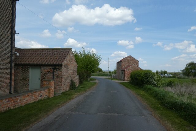
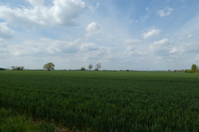
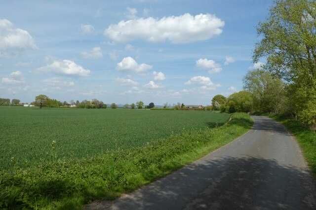
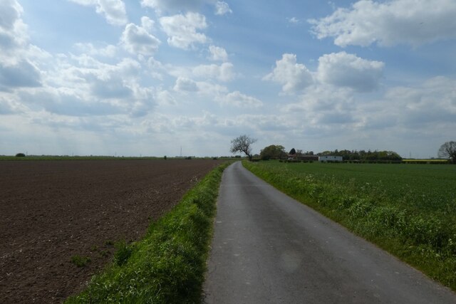
Blacktoft Sands Images
Images are sourced within 2km of 53.695274/-0.7056858 or Grid Reference SE8522. Thanks to Geograph Open Source API. All images are credited.


Blacktoft Sands is located at Grid Ref: SE8522 (Lat: 53.695274, Lng: -0.7056858)
Division: West Riding
Unitary Authority: East Riding of Yorkshire
Police Authority: Humberside
What 3 Words
///swimsuits.directs.memo. Near Whitton, Lincolnshire
Nearby Locations
Related Wikis

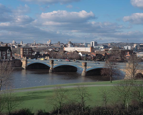
River Ouse, Yorkshire
The River Ouse ( OOZ) is a river in North Yorkshire, England. Hydrologically, the river is a continuation of the River Ure, and the combined length of...
Trent Falls
Trent Falls is the confluence of the River Ouse and the River Trent which forms the Humber between Lincolnshire and the East Riding of Yorkshire in England...
River Trent
The Trent is third in the list of longest rivers in the United Kingdom. Its source is in Staffordshire, on the southern edge of Biddulph Moor. It flows...

Blacktoft Sands RSPB reserve
Blacktoft Sands RSPB reserve is a nature reserve in the East Riding of Yorkshire, England. It is managed by the Royal Society for the Protection of Birds...
Faxfleet
Faxfleet is a hamlet and former civil parish, now in the parish of Blacktoft, in the East Riding of Yorkshire, England. It is situated approximately 6...

Blacktoft
Blacktoft is a village and civil parish in the East Riding of Yorkshire, England. The village is situated on the north bank of the River Ouse, 1 mile...

Adlingfleet
Adlingfleet is a drained, fertile, former marshland village and former civil parish, now in the parish of Twin Rivers, in the East Riding of Yorkshire...

Twin Rivers, East Riding of Yorkshire
Twin Rivers is a civil parish in the East Riding of Yorkshire, England. It is situated along the south bank of the River Ouse to the east of the town...
Nearby Amenities
Located within 500m of 53.695274,-0.7056858Have you been to Blacktoft Sands?
Leave your review of Blacktoft Sands below (or comments, questions and feedback).