Ragman Ridge
Coastal Marsh, Saltings in Lancashire Barrow-in-Furness
England
Ragman Ridge
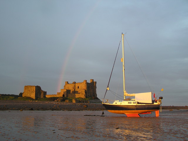
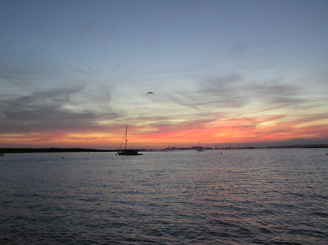
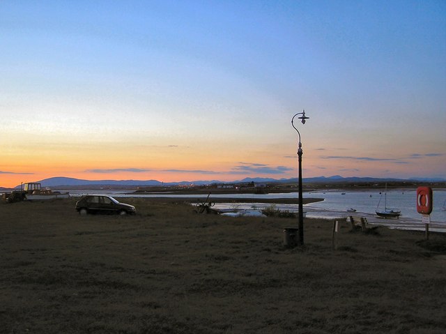
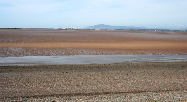
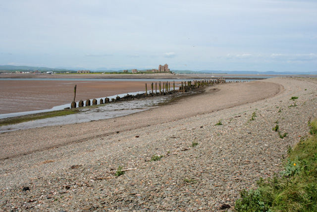
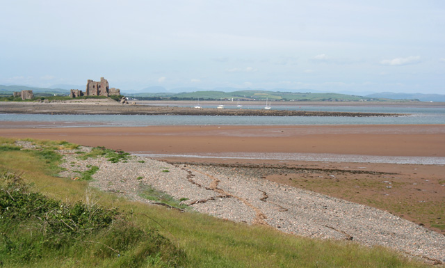
Ragman Ridge is a picturesque coastal marsh and saltings located in Lancashire, England. Situated along the coastline, it spans a vast area of approximately 100 acres, providing a unique and diverse landscape for visitors to explore.
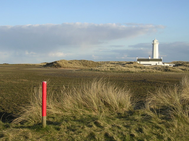
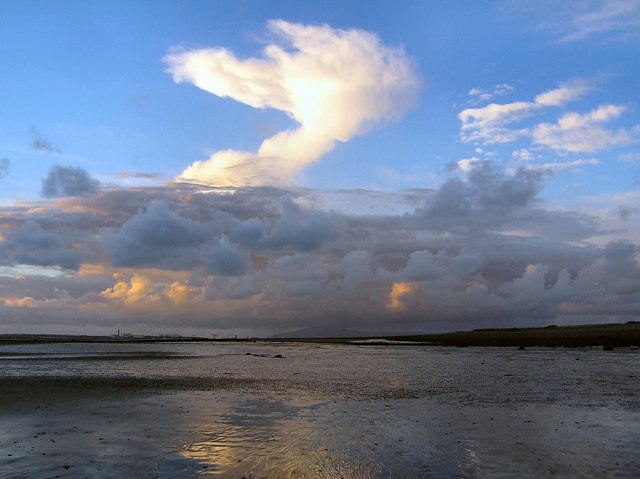
The ridge itself is characterized by its sandy dunes, which offer stunning panoramic views of the surrounding area. These dunes act as a natural barrier, protecting the marshland and saltings from the powerful tides of the Irish Sea. The ridge is home to a wide variety of plant and animal species, making it a haven for nature enthusiasts and birdwatchers.
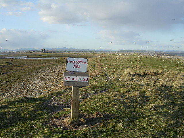
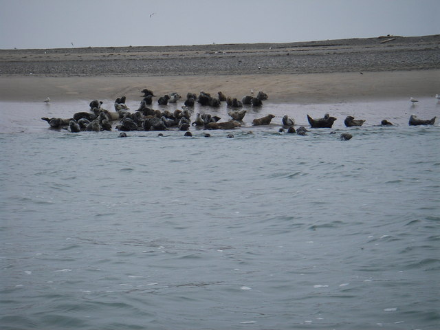
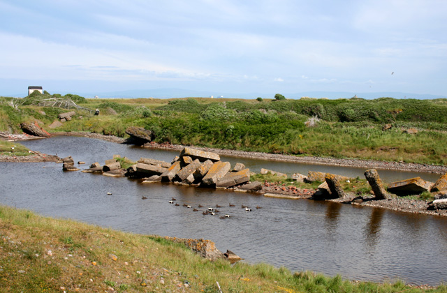
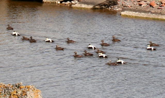
The marshland at Ragman Ridge is a sight to behold, with its lush green vegetation and tranquil pools of water. The area is rich in biodiversity, attracting a wide range of bird species, including waders, ducks, and geese. It is not uncommon to spot rare and migratory birds here, making it a popular destination for birdwatching enthusiasts.
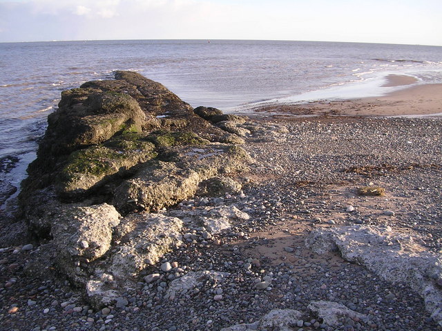
The saltings, located adjacent to the marshland, are characterized by their salt-tolerant plants and unique brackish water. This briny environment is a haven for various species of marine life, including fish, crustaceans, and mollusks. It is also home to a diverse range of flora, such as samphire and sea lavender.
Ragman Ridge offers visitors the opportunity to explore its natural beauty through designated walking trails and observation points. The area is well-maintained, with informative signage providing educational insights into the various habitats and their inhabitants.
Overall, Ragman Ridge in Lancashire is a haven for nature lovers, offering a unique glimpse into the diverse ecosystems of coastal marshes and saltings. Its stunning landscapes, rich biodiversity, and peaceful ambience make it a must-visit destination for anyone seeking to connect with nature.
If you have any feedback on the listing, please let us know in the comments section below.
Ragman Ridge Images
Images are sourced within 2km of 54.058907/-3.153109 or Grid Reference SD2463. Thanks to Geograph Open Source API. All images are credited.
Ragman Ridge is located at Grid Ref: SD2463 (Lat: 54.058907, Lng: -3.153109)
Administrative County: Cumbria
District: Barrow-in-Furness
Police Authority: Cumbria
What 3 Words
///streamers.land.lorry. Near Barrow in Furness, Cumbria
Nearby Locations
Related Wikis

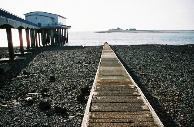
Foulney Island
Foulney Island is a low-lying grass and shingle area 1 mile (1.6 km) to the south-east of Roa Island, off the southern tip of the Furness Peninsula in...

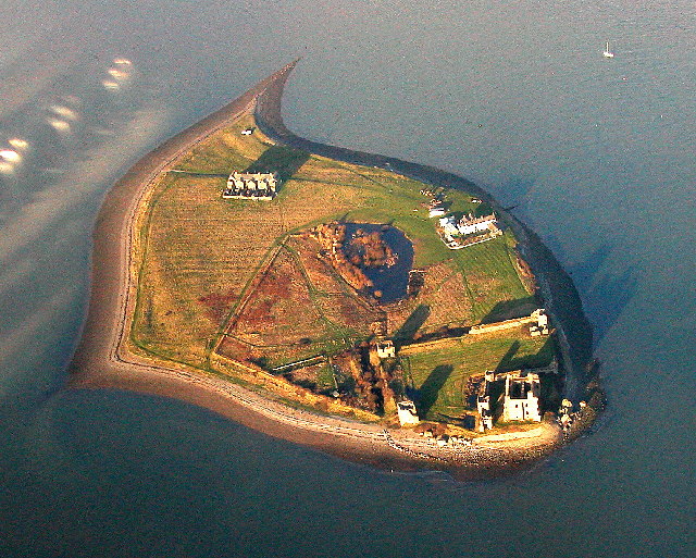
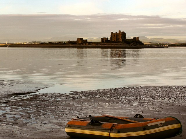
Piel Castle
Piel Castle, also known as Fouldry Castle or the Pile of Fouldray, is a castle situated on the south-eastern point of Piel Island, off the coast of the...

Piel Island
Piel Island lies in Morecambe Bay , around 1⁄2 mile (800 metres) off the southern tip of the Furness peninsula in the administrative county of Cumbria...

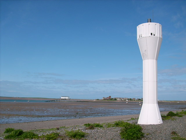
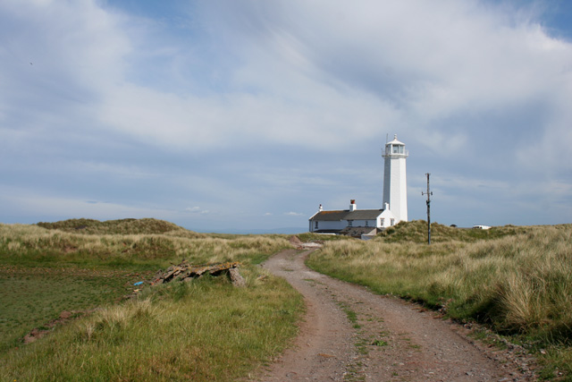
Walney Lighthouse
Walney Lighthouse is a functioning lighthouse located on Walney Island in Barrow-in-Furness, Cumbria, England. The current building dates to the early...
Roa Island
Roa Island lies just over half a mile (1 km) south of the village of Rampside at the southernmost point of the Furness Peninsula in Westmorland and Furness...

Piel railway station
Piel railway station was the terminus of the Furness Railway's Piel Branch in Barrow-in-Furness, England that operated between 1846 and 1936. Located on...

Rampside
Rampside is a village in Cumbria, England. Historically in Lancashire, it is located a few miles south-east of the town of Barrow-in-Furness, in the north...
Rampside railway station
Rampside railway station was located on the Piel Branch of the Furness Railway in the Rampside area of Barrow-in-Furness, England. The single platform...
Have you been to Ragman Ridge?
Leave your review of Ragman Ridge below (or comments, questions and feedback).