Cunninger Scar
Coastal Marsh, Saltings in Lancashire Barrow-in-Furness
England
Cunninger Scar
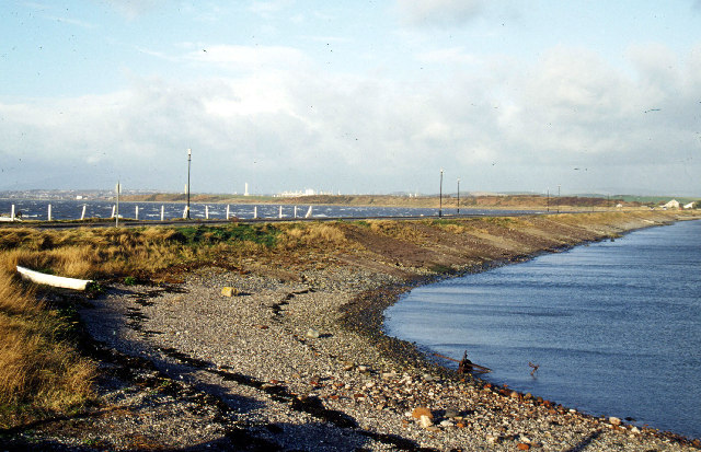
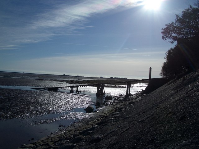
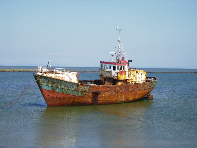
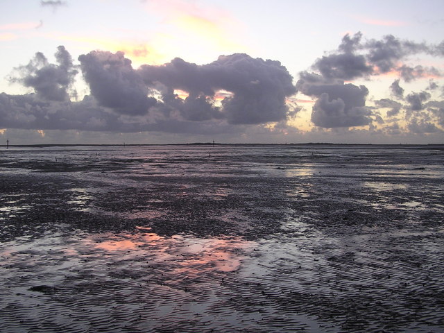
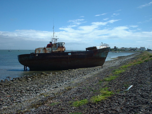
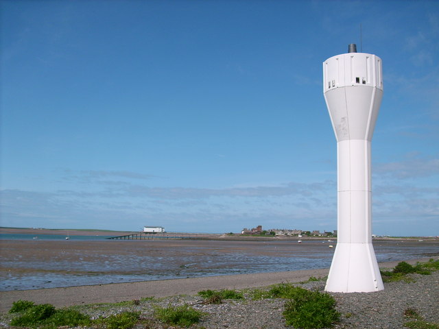
Cunninger Scar is a scenic area located in Lancashire, England. It is situated along the coast, specifically known for its Coastal Marsh and Saltings. Spanning approximately 200 acres, Cunninger Scar offers a unique blend of natural beauty and diverse ecosystems.
The Coastal Marsh at Cunninger Scar is characterized by its lush green meadows and wetlands, which provide a habitat for various bird species and wildlife. The marshland is fed by both freshwater and saltwater sources, creating an ideal environment for a wide range of plants and animals. Visitors can often spot wading birds such as curlews, redshanks, and oystercatchers, as well as rare species like the bittern.
Adjacent to the marshland, the Saltings at Cunninger Scar provide a stark contrast with their barren and salt-infused landscape. These salt marshes are formed by the deposition of salt crystals and the growth of salt-tolerant plants. This unique ecosystem supports a variety of specialized flora and fauna, including samphire, sea lavender, and saltmarsh grass.
Cunninger Scar is a popular destination for nature enthusiasts, bird watchers, and hikers. The area offers several walking trails and observation points, allowing visitors to explore the diverse habitats and enjoy breathtaking views of the coastline. Additionally, the site is managed by local conservation organizations, ensuring the preservation of this valuable natural resource for future generations.
If you have any feedback on the listing, please let us know in the comments section below.
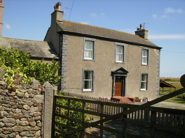
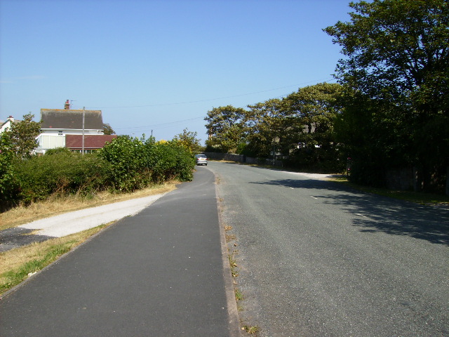
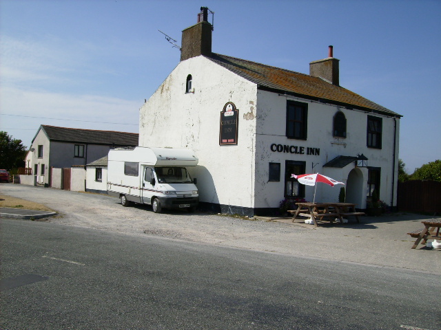
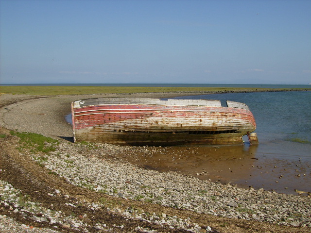
Cunninger Scar Images
Images are sourced within 2km of 54.089144/-3.1567759 or Grid Reference SD2466. Thanks to Geograph Open Source API. All images are credited.


Cunninger Scar is located at Grid Ref: SD2466 (Lat: 54.089144, Lng: -3.1567759)
Administrative County: Cumbria
District: Barrow-in-Furness
Police Authority: Cumbria
What 3 Words
///halt.snuggled.masters. Near Barrow in Furness, Cumbria
Nearby Locations
Related Wikis

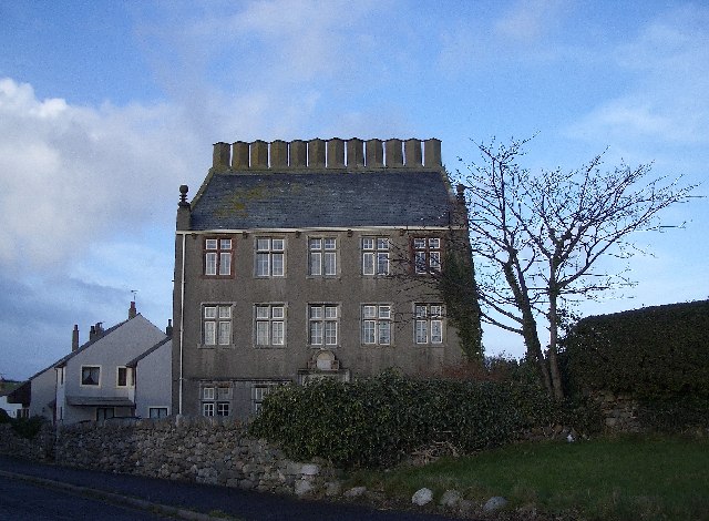
Rampside Hall
Rampside Hall is a Grade I listed building in the Rampside area of Barrow-in-Furness, Cumbria, England. It is one of only three Grade I listed buildings...

Rampside Leading Light
Rampside Leading Light, also known as "The Needle", is a leading light (navigation beacon) located in the Rampside area of Barrow-in-Furness, Cumbria,...

Rampside
Rampside is a village in Cumbria, England. Historically in Lancashire, it is located a few miles south-east of the town of Barrow-in-Furness, in the north...

Rampside railway station
Rampside railway station was located on the Piel Branch of the Furness Railway in the Rampside area of Barrow-in-Furness, England. The single platform...
Roosebeck
Roosebeck is a hamlet in South Lakeland, Cumbria, England, on the north west coast of Morecambe Bay. It is in the civil parish of Aldingham.Roosebeck is...

Roose
Roose or Roosecote is a suburb and ward of Barrow-in-Furness, Cumbria, England. The word 'roose' is Celtic for "moor" or "heath" and the suffix 'cote'...

Piel railway station
Piel railway station was the terminus of the Furness Railway's Piel Branch in Barrow-in-Furness, England that operated between 1846 and 1936. Located on...
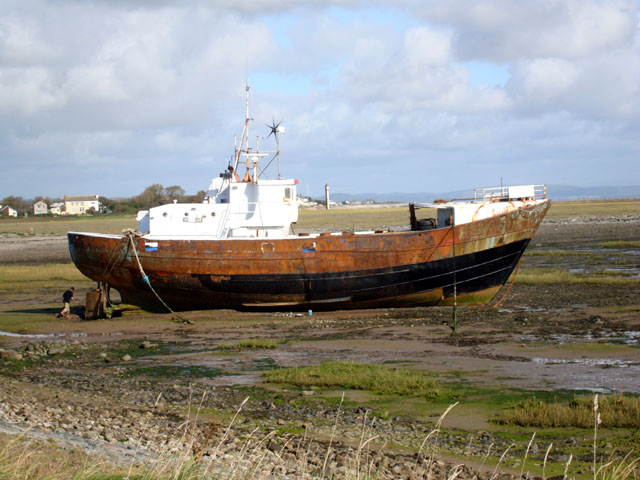
Roa Island
Roa Island lies just over half a mile (1 km) south of the village of Rampside at the southernmost point of the Furness Peninsula in Westmorland and Furness...
Related Videos
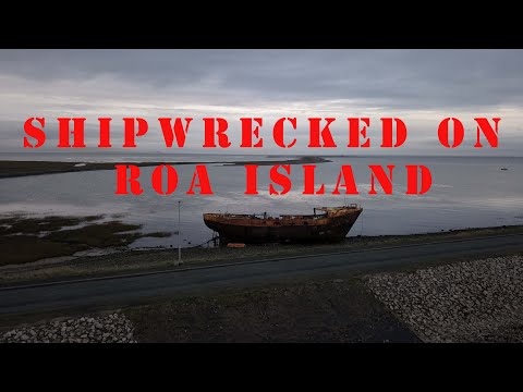
Roa Island | Piel Castle | DRONE flight | CUMBRIA
RoaIsland #VanLifeuk #Cumbria Roa Island lies just over half a mile south of the village of Rampside at the southernmost point of ...

Roa island - me Fergus and our Motorhome, just a quick leg stretch .
Just a quick leg stretch and day out for me Fergus and our Motorhome only just getting used to capturing things on YouTube so ...

Dynamic Dipper, top tips for stopping your #wetsuit from #rubbing plus the best #swimming apps
This week's video comes from Roa Island near Cumbria in Barrow in Furness, on a summers day you can get the little ferry boat ...
Nearby Amenities
Located within 500m of 54.089144,-3.1567759Have you been to Cunninger Scar?
Leave your review of Cunninger Scar below (or comments, questions and feedback).